Showing posts with label PCT. Show all posts

Monday, September 5, 2022

Red Cone Spring


Crater Lake is Oregon's one and only National Park. The lake is awesome and visitors flock by the thousands to see the amazing sapphire color of the lake. But, to procure a viewing spot from the many crowded overlooks of the iconic landmark, you have to brandish pointed elbows and wield a sharp tongue. However, in the park's backcountry, you are not liable to see anyone and can best put your elbows, salty language, and dirty looks to better use.

A forest mix of live and dead trees

I am particularly fond of the section of the Pacific Crest Trail that bends north and east through the northwest corner of the park. Here, the terrain is harsh because the soil is comprised of nutrient-poor pumice and volcanic ash. Water doesn't collect above ground, seeping instead into the dusty soil so the whole feel of the terrain is dry, dusty, and arid. Lodgepole pine thrives in poor soils but here, the trees are stressed by a lodgepole beetle infestation, and plenty of dead trees abounded near the trailhead.

All the burnt wood you could ever want to photograph

As we (Cleve and I) commenced hiking, Red Cone rose up in front of us like a volcanic angry red zit. Our route would basically buttonhook around to the other side of the notable cinder cone, where we'd then turn back at Red Cone Spring. The area had been burned in 2017 by either the National Creek Fire or Spruce Lake Fire, which were each part and parcel of the High Cascades Complex Fires. The name of the exact culprit doesn't matter, but what does matter is that most of the hike would be in the burn zone of whichever fire it was.

We enjoyed hiking though a a brief
patch of forest untouched by fire

There is one section of trail that goes through a green forest untouched by either fire or beetle, providing a poignant look at what a healthy lodgepole forest could look like. The shade felt nice too, particularly as the forecast called for a fairly warm day. As an added bonus, the trail angled gently downhill through the shady forest, although we'd experience the opposite effect on the return leg.

The ancestors kept watch over us

The fire boundary is quite abrupt, for one second we were in dark and shady forest, and the next instance we were blinking myopically in the bright sunlight like a pair of exposed cave crickets. Virtually no trees had survived the conflagration here, and miles and miles of ghostly white snags stood watch in cadaver-like testament to the fire's ferocity.

Late summer is pussypaw season, apparently

However, life finds a way and the terrain was carpeted by a thin green layer of sedge grass forming new meadows amongst the dead trees. Rabbitbrush, pussypaws, aster, and fireweed were still blooming away in late summer and bees and butterflies were buzzing or flitting from flower to flower. Small birds twittered and flittered and woodpeckers could be heard hammering tree trunks in search of insects and grubs to eat. There were plenty of scuff marks on the ground from the hooves of either deer or elk and we came across one dubious wet spot on the trail, left not too long before our arrival, courtesy of some mammal of the non-hiker variety that had a full bladder.

We hike through beautifully stark scenery

There were signs along the trail stating dispersed camping for backpackers was allowed, "dispersed" meaning there are no established campsites so you just camp wherever you can. However, camping was prohibited in the Red Cone Spring area because of the danger of falling trees. That made little sense to me because the whole trail was surrounded by dead trees but apparently it's ok if one falls on you as long as it's not at Red Cone Spring. Maybe they don't want your rotting carcass to foul up the spring water.

A small slice of the ample meadows
surrounding Red Cone Spring

Despite the closure, Cleve and I hiked to the spring and ate lunch there. The spring isn't all that much to look at but water is life and this was the only water source around for many a mile. The spring is surrounded by a large expanse of meadows (which you could safely camp in, just sayin') and the usual stands of dead trees. Small birds gathered en masse and the collective chirping was nigh cacophonous. However, the avian merriment soon changed to screams of alarm when a small peregrine falcon came swooping in, attempting to snag just one small bird for lunch. It failed to do so and in short order, it was just me, Cleve, and one hungry falcon at the suddenly quiet spring.

Woodpeckers and termites think
this is the best forest ever!

So, back we went on the Pacific Crest Trail, as the day warmed up considerably. The good news was that for the most part, the trail was level so the hiking was not overly laborious. However, the trail did incline uphill over the last several miles at a gentle grade, the degree of difficulty being the soft pumice soil. Think hiking in sand and you get the idea. The hike may not have left a mark but we felt it.

The Pacific Crest Trail heads north to Canada

This is one of my favorite hikes. Like me, the terrain is harsh yet beautiful. But mostly, it's quite different from the other regular normal hikes we do and its very uniqueness is the main attraction, in my view. Both Cleve and I were happy with the day's venture, especially after replenishing electrolytes with Gatorade (drink of the gods!) afterward.

A hole-some dead tree

For more photos of this hike, please visit the Flickr album.


Saturday, July 9, 2022

Cowhorn Mountain


I've told this story before but I'm not above plagiarizing myself. Cowhorn Mountain got its name from a spire that used to be on the mountain and probably resembled a cow's horn. Unfortunately for us present-day hikers, the horn fell off in the early 1900s, knocked down in the middle of the night by a severe winter storm. It just goes to show that mountains, just like people, also become less horny as they get older. 

Move 'em out, head 'em up! Rawhide!

At least the modern-day trimmed-down version of Cowhorn Mountain is presumably easier to summit than it was in the early 1900s. And speaking of trimmed-down versions, Friends of the Umpqua was hosting a trek to the mountain's summit and we numbered a robust and eager eighteen hikers, but who's counting, besides the hike leader? As we laced up our boots, the Pacific Crest Trailhead at Windigo Pass was a busy place, not even counting our lively band of bovines.

The mountain is calling but do we really have to go?

From the Windigo Pass Trailhead, there is not a lot of water to be found along the trail until hikers reach Summit Lake about 13 miles away. However, a trail angel has adopted the Windigo Pass Trailhead and keeps it well stocked with jugs of water and accordingly, throngs of through-hikers were drinking at the trough, so to speak. The trailhead was quite the festive and high-spirited place that morning!

Gone was the snow around Windigo Lake

This hike took place only a week after my Nip and Tuck hike and I was somewhat disappointed to see the forest between the Pacific Crest Trail and Windigo Lakes to be snow free. It was like my rough bushwhack last week had never happened. What was happening now and not then, was that throngs of voracious mosquitoes were the travail du jour.

A forming thunderhead was cause for concern

The weather forecast called for possible thunder and because standing on top of a tall mountain is not a good idea in a thunderstorm, we kept a wary eye on the clouds forming over the crest we were hiking on. The clouds resembled baby thunderheads but never quite got to the point of hurling lightning bolts at stampeding hikers.

The PCT will be renamed "The Trail You Are Hiking On"

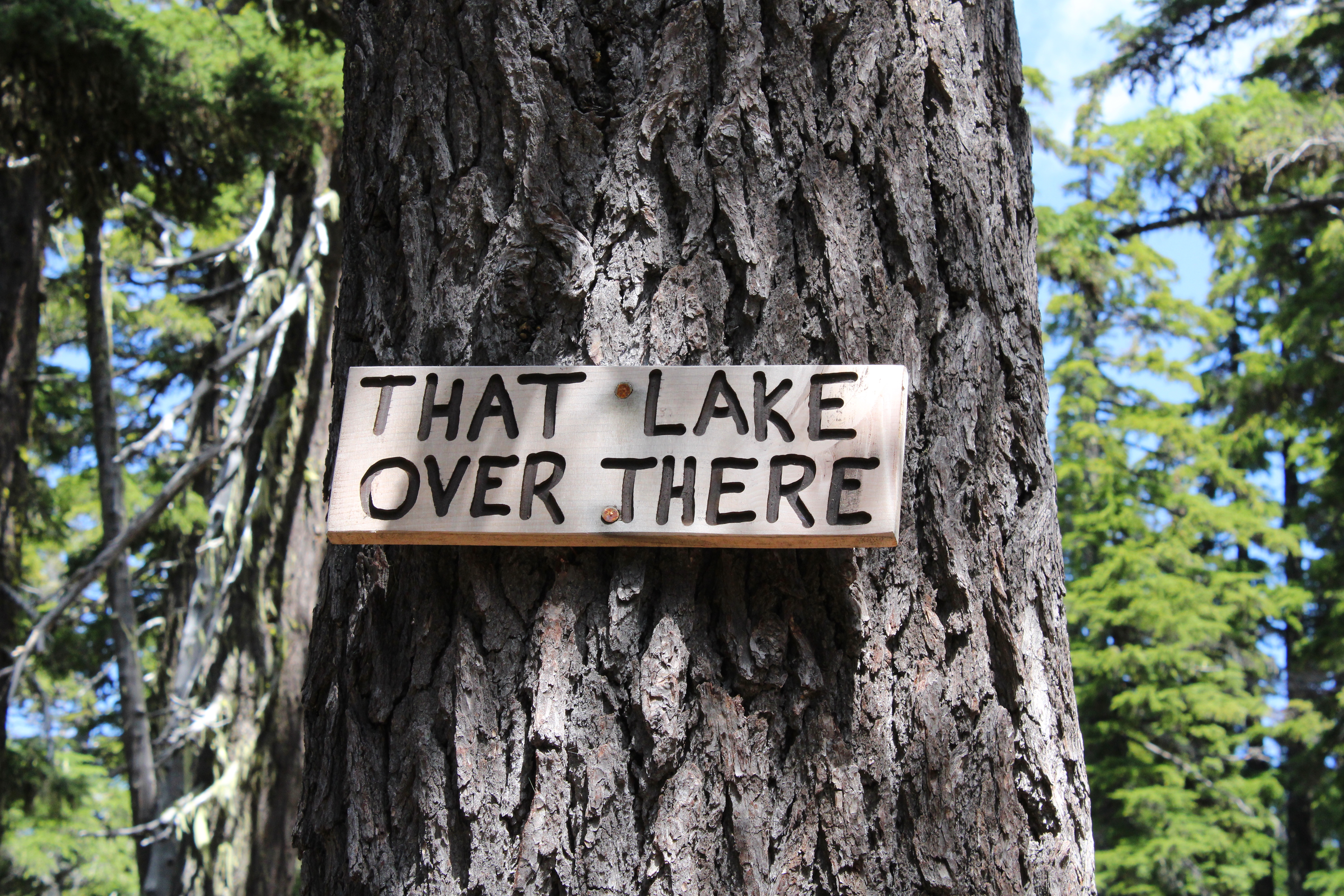
The Pacific Crest Trail heads uphill for about four miles at a steady grade. As we gained altitude, periodic openings in the forest allowed us to see distant Mounts Bailey and Thielsen to the south, and the Cappy Mountain complex east of the PCT and much closer to Windigo Pass. Below, in a forested basin, the twin jewels of Windigo Lakes reposed on a large blanket of forested terrain. And speaking of lakes, a stagnant pond that used to be an important water stop for through hikers before the advent of the Windigo Pass trail angel, had been signed by some wag as "That Lake Over There".

Snow was all over the higher reaches of this hike

As the trail sashayed to and fro and undulated and up and down the forested ridge leading to Cowhorn, openings in the forest provided occasional peeks at the day's object of our desire. Always craggy and udderly foreboding, Cowhorn Mountain looked to be so much higher and farther than our current vantage point. One should never look ahead, it's always so de(moo)ralizing.

Penny picks her way through the snow drifts

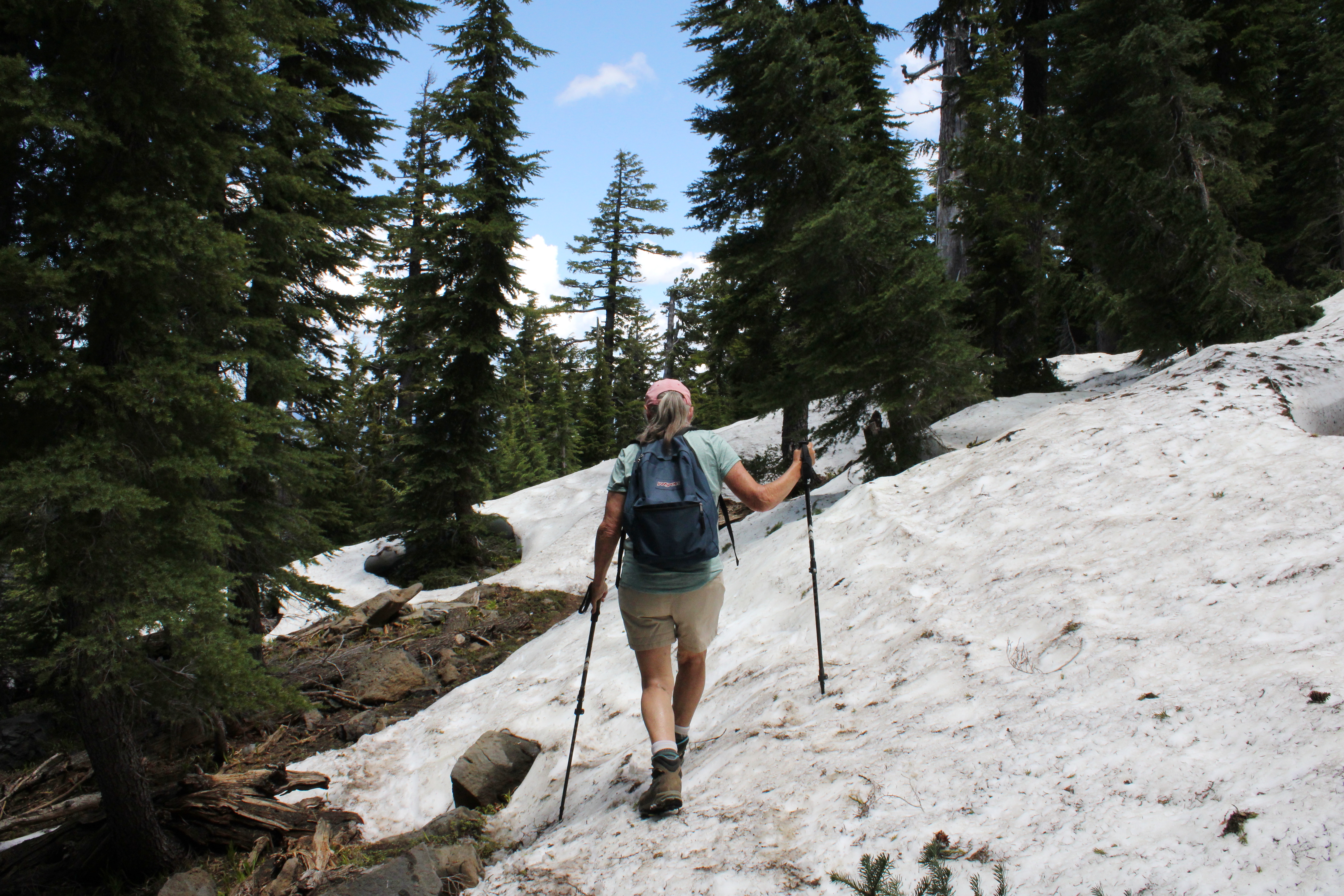
As we continued to gain altitude on the Pacific Crest Trail, snow became a thing and that's snow lie. The drifts were plentiful and deep enough to hide the trail from sight. Fortunately, this is through-hiker season and we just followed their hoof prints in the snow when uncertain. The melting snow was soft and we had to watch out for tree wells and hollow spaces to avoid sudden and unexpected posthole moments in the slushy snow

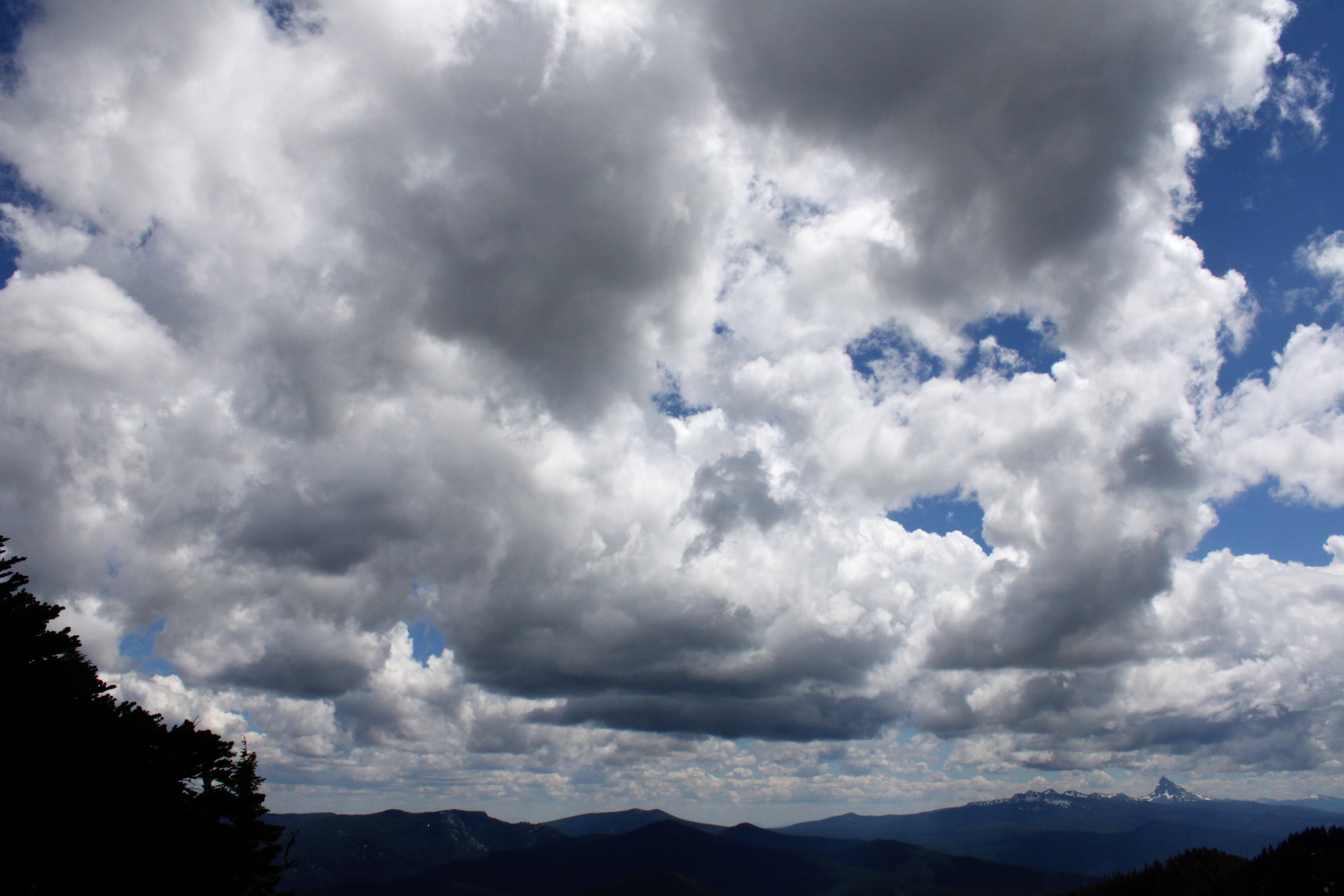
Clouds form and reform over the landscape

I was feeling so walky that I soon found myself in front of the herd, accompanied solely by Katelyn, who was our youngest hiker at age thirteen. I daresay that as fast as I hiked, she would have left me eating her snowflakes if she knew how to get to Cowhorn by herself, and that's no bull. But all that fast moo-ving along had a price for the diabetes impaired and I bonked right at the foot of the mountain. So, while most of my friends made hay and went up to the summit, some of us stayed behind to chew cud and admire the landscape and cloudscape surrounding the prominent peak of Cowhorn Mountain. And one of us ate the proper foods to reconstitute his low blood sugar, darn diabetes anyway.

Hikers carefully navigate their way down

It was all downhill naturally, once our thundering cattle herd disembarked from Cowhorn Mountain. There was some slipping and sliding on the snow drifts on the way down and I took the occasion to instruct the less experienced hikers how to safely kick-step through the snow. It was a perfunctory four-mile hike through thick forest, thick clouds of mosquitoes, and thick throngs of through-hikers before we arrived in good order at Windigo Pass, fully sated with the day's undertaking.

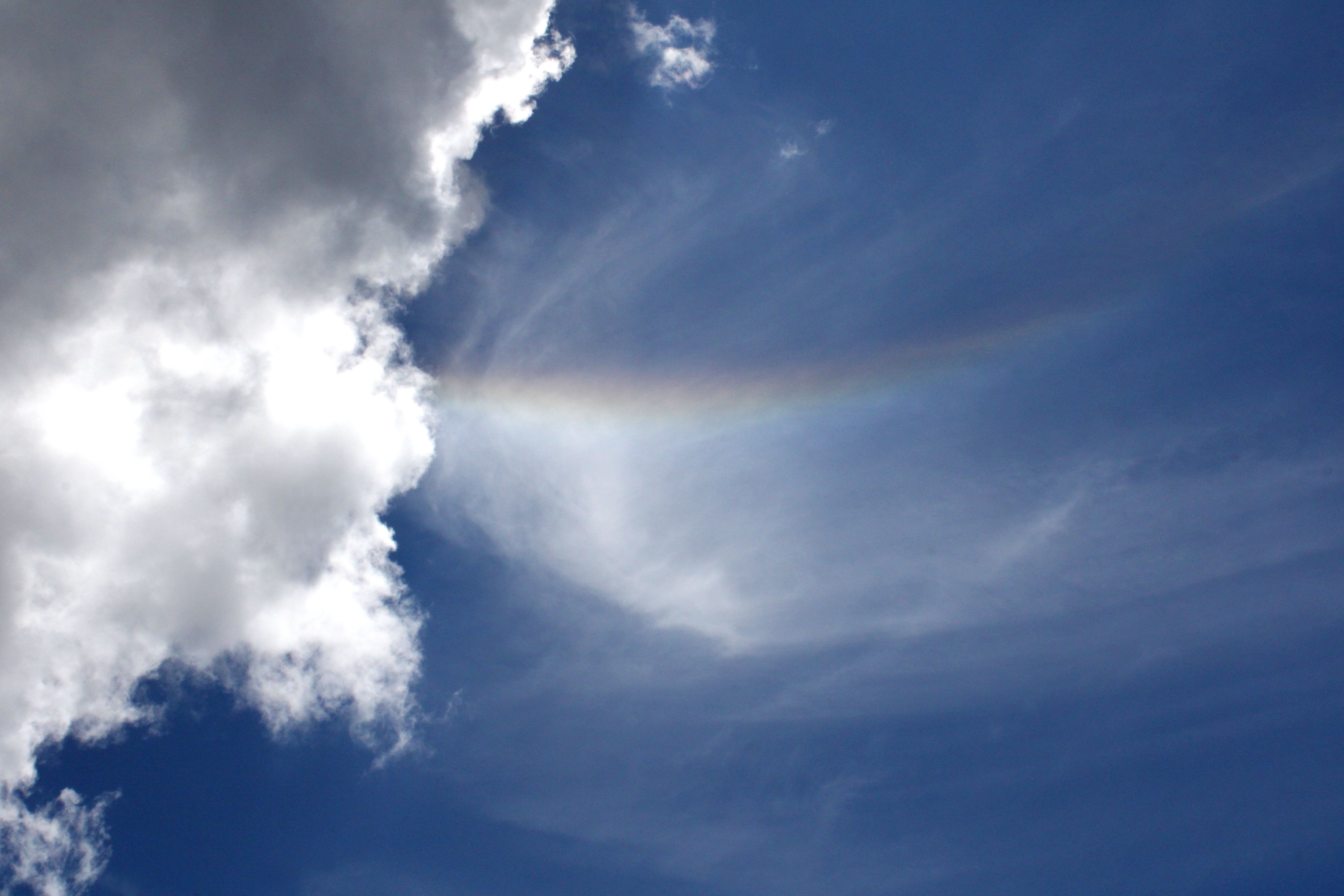
Rainbow in the sky

Well some of us were fully sated, while at least one of us apparently required some more adventure and exercise. Yup, I divested myself of my daypack and hoisted my backpack onto my shoulders, ready for a hike down into the Nip and Tuck Lakes area. Hay, I was back to feeling walky again and head me out and move me up. Rawhide!

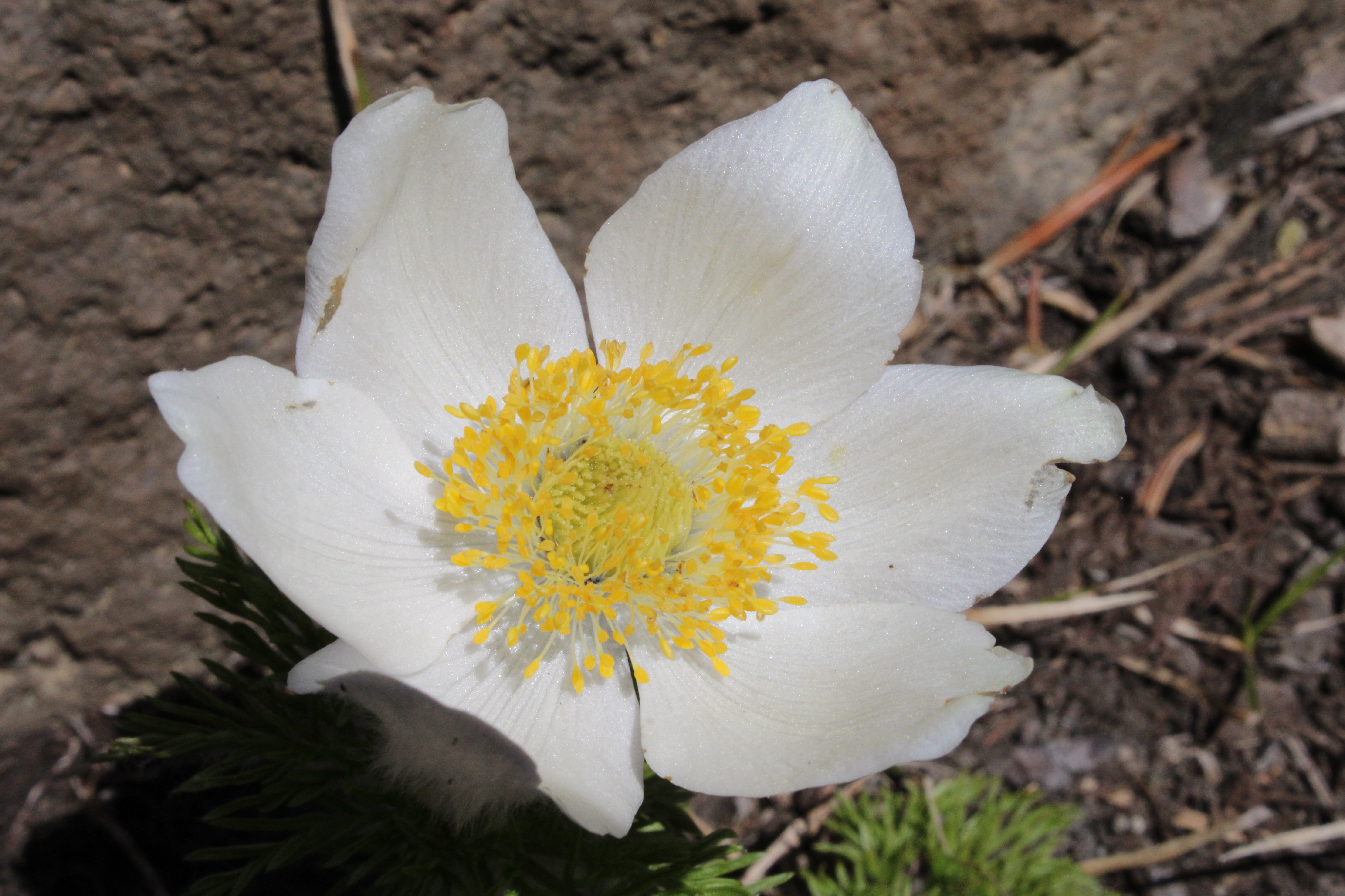
Pasque flower adorned the rock gardens near the summit

For more photos of this hike, please visit the Flickr album.

Sunday, August 25, 2019

Pacific Crest Trail (from Santiam Pass)


I like hiking in burn zones. It may be an acquired taste, but I find it fascinating to observe the process of a forest reestablishing itself after a fire. And, despite the tree carnage and scorched earth policy, there is also great beauty to be found in an old burn zone. Unfortunately, too much of a good thing can also be bad and if recent fire seasons are any kind of indicator, we all will have more than ample opportunity to learn to love burn zones in the near future. At any rate, the site of the B&B Fire at Santiam Pass still remains one of my favorite places to hike.

Beauty in a burn zone

At Santiam Pass, the fire began life as the Booth Fire in mid-August of 2003 while further to the north in the Mount Jefferson Wilderness, the Bear Butte Fire birthed into fiery existence. Eventually, the two fires joined forces as one and the two fire names melded together to become the B&B Fire. Even though the fire burned virtually in uninhabited wilderness, over $38 million dollars were spent to combat the fire. I'm not sure if the expenditure was worth the investment for when it was all over, the fire had consumed over 90,000 acres. Unfortunately, in our current era of megafires and gigafires, a 90,000 acre fire is just another small kilofire. 

Through-hikers hike through a new forest

The Pacific Crest Trail, at Santiam Pass, goes right through the old fire zone and while temperatures were hot down in our valleys, a chill wind up here kept things cool as I set foot on the famed PCT. Although the story of this hike was walking 10 miles through a forest of ghostly white snags, there is a veritable young forest forming on the ground and it won’t be long before the epic views encountered on this day will once again be blocked by flourishing trees.

The PCT angled up through a burned forest for mile after mile

The Pacific Crest Trail headed steadily uphill in the open sunlight and incessantly switched back and forth across an open slope as it worked its way up to the craggy slopes of Three-Fingered Jack. In places, beargrass covered virtually every square inch of available soil below the forest of dead trees, imbuing the rough terrain with a parklike vibe. Beargrass blooms every other year and when it’s beargrass time on this section of the PCT, the results must truly be spectacular.

Huckleberry bushes decided summer is over and done with

A few of the usual late-summer flowering suspects were putting on a subdued show, those suspects being most notably light purple daisy-like aster and fleabane, bright red skyrocket, and occasional yellow rabbitbrush flowers. We are getting close to autumn’s song and accordingly huckleberry bushes were blazing red in vegetative mimicry of the B&B Fire.

Sun-bleached snags against a cobalt sky

There are a couple of side trails leading down to the Berley Lakes or Square Lake but my order of business was the Pacific Crest Trail and I stayed on track when I arrived at those enticing trail junctions. The trail climbed at a consistent rate of ascent and a steady stream of PCT through-hikers passed me by. Ninety-six year old great-grandmothers may have also passed me by, because my pace was as slow as a lethargic turtle going up all those miles of inclined trail, but I'm blaming the views and camera.

What a view!

The views became more and more astounding as the trail gained elevation, thanks in part to the B&B Fire clearing out the view-blocking forest. Directly south of the trail was the pointy spire of rugged Mount Washington with the Three Sisters looming further beyond. Periodically, Three-Fingered Jack waved hello with one of its non-middle fingers showing above the ridge crest directly in front. To the east was the symmetrical cone of Black Butte with the vast central Oregon outback stretching out into the summer haze. The surrounding geology and geography were spread out like a large-scale three-dimensional atlas diorama, all covered with a fuzzy white layer of ghostly white snags, left courtesy of the B&B Fire.

Some of those surrounding lakes and scenery

There were plenty of lakes scattered in all the topology cited above and to the east, lakes Booth, Martin, and Square reposed in the basin sprawling west of Black Butte. There is supposed to be a cross-country way to leave the PCT and hike down to Martin Lake and return by way of the Square Lake Trail but the jump-off point was not obvious, so I stayed on the PCT like a good boy.

A rare section of green forest

At about the four-mile mark, the trail left the burn zone for a real honest-to-goodness green forest. Good thing too, for the chill breeze had long since failed to be and the day was getting to be quite warm out in the exposed and treeless fire zone. I ate lunch at a rocky viewpoint overlooking an expansive vista of Maxwell Butte and surrounding terrain extending into the McKenzie River drainage.

View to the Mount Washington and the Three Sisters 

After lunch, it was back the way I had come but the major difference was that I was walking downhill (and there was much rejoicing) instead of slogging up to some higher unseen place in my life. Also, instead of staring at the grassy parklike slopes inclining upward in front of me, I very much enjoyed a wide and expansive five-mile view of Mount Washington, the Three Sisters, and an entire county of dead trees under a blue sky. Simply beautiful, and the entire day confirmed my feelings about hiking in an old burn zone.

Path through spent beargrass and dead trees

For more photos of this hike, please visit the Flickr album.

Saturday, July 16, 2016

Mount Ashland Meadows

One of our hiking buddies once commented that given the right mood and ambition, he might go on a Richard Hike. And under the same conditions he might go on a Ray Hike. But he would never, ever go on a Richard and Ray Hike! We took it as a compliment. Sadly, my Trail Brother Ray recently passed away and all I've been thinking about is the wonderful adventures we shared in such a short time. We've hiked not only in beautiful weather but have hiked, camped, and backpacked in rain, sleet, snow, ice, thunder, lightning, and gale-force winds. We hiked not only in our Umpqua National Forest but we also trekked in Washington and California, visiting many a remote wilderness area in the process. We slapped at mosquitoes and blackflies, danced away from rattlesnakes, and fought off marauding deer. We walked on beach sand, rocky trails, snow drifts, volcanic ash, and waded across many a creek or river. Sometimes we hiked where there were no trails at all.  And all the while, a steady dialogue of good natured insults were directed at each other. And of course, there was "The Ray", his signature pose where he raised his arms and hiking poles overhead, usually in triumph and glory atop a mountain summit. It seemed like every hike was epic and most certainly were memorable. 

Mount Ashland
When we did not hike with each other, we hiked where the other had not yet been. Upon returning home, the taunting began with "Guess where I went today?" emails going back and forth. It was a ritual of sorts where the tauntee would complain to the tauntor about tainting the trail for future use. Ray and I had talked about doing a weekend backpack trip on the Pacific Crest Trail from Mount Ashland Meadows to Wrangle Gap but for whatever reason, we never pulled it off. We also talked about hiking to Siskiyou Peak as a 12'ish mile out-and-back day hike. And one particular day I did do that very thing and got to taint the trail for Ray. Later on, he did the same hike and shared his pictures with me and even though I had already been, it still felt like a taunt and taint.

Trail marker on the Pacific Crest Trail
So, when the Friends of the Umpqua went hiking on the slopes of Mount Ashland, I went along not only for the magnificent hike, but also to reminisce and to mourn the loss of a good friend. The Pacific Crest Trail doesn't care about all that though, it just lays on the ground and lets people walk on it from Mexico to Canada or vise versa. The PCT thru-hikers usually hit Oregon late July and we encountered many thru-hikers who were easily distinguished by long beards, unshaven armpits, dirty clothing, and a certain air about them that lingered in the forest long after they passed by. And the men were just as bad!

Monkshood


From the paved Mount Ashland Road, the PCT headed through a beautifully shaded forest comprised of tall conifers of various ilk. At the outset, the route took us through several small meadows in a foretaste of the magnificent meadowy goodness yet to come. The meadows were buzzing with bees harvesting pollen from the flowers. The trail was fairly level with gently rolling ups and downs and I sure love a trail with no mosquitoes on it.


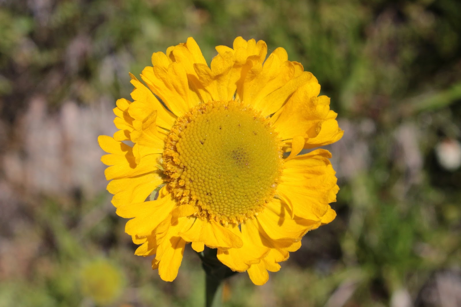
Sneezeweed
After a mile or so, the trail crossed a dirt road and contoured across a rather large meadow clinging to Mount Ashland itself. Hellebore (also known as corn lily) was putting on a show along with sneezeweed, orange agoseris, tiger lily, and mountain owl's clover. Mount Ashland's profile (with a white microwave dome thingy on it) was photogenically etched against a dark blue sky.


Grouse Gap, one of my favorite places
The trail did enter the dark forest again but the trend was towards more meadow and less forest to the point where it would be all meadow and no forest. Grouse Gap is the grassy bowl where the transition to meadow becomes complete. Numerous springs and creeklets ran across the trail and the vista of green  slopes and distant mountains and valleys was pretty awesome. The Siskiyou Mountains figuratively dropped away at our feet, providing nice views of the Shasta Valley with Mount Shasta lording its snow-capped peak over us lesser beings. 

Mount Ashland lupine
John, Edwin, and I said good-bye to the hiking club at Grouse Gap and performed a short bushwhack on a pumice barren back up to the PCT. The Mount Ashland lupine, a miniature lupine endemic to the area and found nowhere else, covered the slope in half-inch high mats of grayish leaves and purple flowers. We made sure not to step on the rare and endangered lupine as we hiked up but the grasshoppers apparently find the plant quite tasty and don't care about the rarity thereof.

The PCT climbs to the Siskiyous crest


From Grouse Gap, the trail charged up a rocky cliff that had snow patches under the trees. However, the slope was relatively short so the uphill agony was short-lived, plus it offered a nice view of Mount McLaughlin's tip. And always, Mount Ashland was eminently visible across Grouse Gap. The three of us thought we were hikers extraordinaire until a young lady passed us by, out for a casual 20+ mile trail run. After bidding her adieu, we old and decrepit hikers adjusted our canes and walkers and bravely continued on, at our aged snail's pace.


John and Edwin explore Peak 7079
We called it good at Peak 7079, which was just short of Siskiyou Peak but still a respectable 10+ mile hike. We scrambled up to the top which sounds impressive until you consider the summit was only about 10 feet higher than the trail. But hey, that's how old mountain climbers roll! The terrain here was sparse and treeless so from the relatively small peak, we enjoyed the ho-hum, rather usual stunning vista to Mount Shasta and the rest of California. The view to the south was new and it was Oregon too, so naturally it was more beautiful. 

The Siskiyous are calling me and I must go


Wagner Butte lay immediately to the south and we could trace our route on nearby Mount Ashland. Several other peaks on the crest of the Siskiyous loomed to the southwest, notably Siskiyou Peak, Big Red Mountain, and Observation Peak. And don't you know I want to backpack the Siskiyou Mountains crest one of these days. Music floated up from a nearby spring in form of tinkling cowbells on a herd of cattle grazing in the hellebore. 

The Ray
On the way back, the shadows lengthened in the forest and the meadows were bathed in the afternoon glow. I'd like to say that I put Ray to rest but that'll be a process that will take a lot longer than a mere 10 miles of trail. Let's just say he was sort of with me this day and wherever he is, he'll swear I tainted this particular section of the Pacific Crest Trail. Miss you, Trail Brother.

Cow parsnip
For more pictures of this hike, please visit the Flickr album.
Monday, June 20, 2016

Hobart Bluff

Recently, I went on yet another hike in the Cascade-Siskiyou National Monument. Am I overdoing it? Will I become jaded about hiking in the Monument? Will the Monument eventually fill me with ennui? Is it possible to get too much of a good thing? I think not in this case, the scenery and greenery are just too beautiful.


Why we hike
The object of my hiking affection this time was Hobart Bluff, selected in part because of an earlier hike from Greensprings Summit to Little Hyatt Lake on the Pacific Crest Trail. I remember my comrades asking me what was south of Greensprings Summit and the short answer is Hobart Bluff. The long answer is the border with Mexico. Anyway, this area dries up and goes brown fairly early so I figured I'd better go to the monument one more time while everything is still beautifully green.

This hike sponsored by Pale Ale
The weather was great as the sun was out, the sky was gloriously blue and best of all, the temperature was mild and perfect for hiking. From the trailhead, the venerable Pacific Crest Trail climbed gently in a fenced corridor on private property. Once past a couple of gates, the trail would be on public land the rest of the way and thanks to the property owners for allowing the trail to pass through their land.

Dry meadow on the PCT
The trail ambled through an odd mix of lush Cascadian conifer forest and open Siskiyou-ish meadows and oak savannas. It can also be an odd mix of mosquitoes and ticks, based on the same vegetative mix but on this day I was lucky enough to not have to deal with either pest. This area is fairly arid when compared to the moister Cascades, here the meadows were already going brown in the rockier stretches of trail. One good thing about meadows is there are no trees to block the view and periodically I caught glimpses of Pilot Rock and Mount Ashland.

Blue-headed gilia
Spring was in session, and my hiking pace was relaxed as there were so many wildflowers to take pictures of. Purple balls of ookow were the main culprit but white hyacinth, thimbleberry, columbine, Indian paintbrush, and larkspur all made their floral presence known. I was happily taking photos and just go ahead and call me a flower child.

Phantom orchid
After several miles of drying meadows alternating with oak or conifer forest, the trail climbed up a slope that was comprised mostly of old-growth Douglas fir. The trail was well shaded with lush vegetation greening up the forest floor underneath the massive trees. Phantom orchid is a fairly rare plant but here it was sprouting everywhere. Pick a square dekameter of forest floor at random and hundreds of pale white shoots would still issue out of the ground like ghostly wraiths from the underworld. The orchids were a pleasant distraction from one of the few steep stretches of trail.


A hike with a view
Shortly after leaving the orchid-infested slope behind, the trail crossed over to the east side of the ridge crest and the forest transitioned to scrubby chaparral and thin stands of scrawny oaks. The views from the open slopes transformed this hike from "pretty darn cool" to "Dude!" (in the like, totally awesome sense of the word). Miles and miles of hills and volcanic cones carpeted by forest lay underneath a blue sky. Nearby Parker Mountain was the most prominent peak as the landscape rolled towards Klamath Falls, but fortunately the town was not visible. I know that may have been an underserved Klamath Falls cheap shot, but then again, I've been there!

A bee-fly sips from a larkspur
Periodically, oaks arched over the trail and the mottled shade was most welcome and soothing. Swallowtail butterflies flitted from flower to flower and my camera was quite busy with shady trail, abundant wildflowers, insect life, and expansive views.

This way to Hobart Bluff
So far, the route had not been all that strenuous as it rambled along the ridge crest in relatively gentle ups and downs. Hobart Bluff would require some more exertion however, as the trail to the summit charged madly up the bluff, about as subtle as an enraged bull on the other side of the fence from the cow. Stunted and gnarled juniper trees dotted the grassy slopes of the bluff.

Hobart Lake, from the world's tallest diving board

Hobart Mountain (near) and Pilot Rock (far)
After attaining the actual Hobart Bluff summit, I picked my way down to a rocky point which was the definitive edge of the bluff, one more step and I'd painfully splash into Hobart Lake, about 450 feet below. The 360 degree view from Hobart Bluff was predictably spectacular, especially on such a glorious day. Hobart Mountain is Hobart Bluff's immediate neighbor, its green slopes rising in front of equally green Soda Mountain. In the distance was the squat tower of Pilot Rock, looking somewhat alien in all the forested mountains. Farther away were Mount McLaughlin, Mount Ashland, and the tip of Mount Shasta. However, Bear Creek Valley stole the Hobart Bluff show. Wide and deep, flanked by tall mountains, the valley stretched from Ashland to Medford and I was staring right down the valley's throat like a geologic tonsillologist. Way cool and lunch just tastes better when eaten in the presence of such an awesome vista.

Meadow, set aside as habitat for
the endangered Mardon skipper
All good things come to an end though, so after a lazy lunch, it was time to get off the butte and head back down the trail. I had entertained a notion of summiting Hobart Mountain's green and grassy slopes so I continued on the Pacific Crest Trail to the foot of the nearby mountain. Upon closer inspection, the green grass was actually a dense head-high thicket of brush and small trees. Wanting to keep my skin reasonably unscratched, I instead continued on to the Soda Mountain Trailhead for some extra mileage. The trailhead was the logical turnaround point, but not before availing myself of the brand new outhouse. Actually, I think if I bushwhack around (next time) the north side of Hobart Mountain, I should be able to make it to the summit.

"Get that camera out of here!"
The afternoon cooled off a bit as the sun sank low or maybe it was just my appreciation for shady forests, but it was a pleasant hike back to the car. So, in answer to my question first posed in this blog entry, one more hike in the Cascade-Siskiyou National Monument is not too much of a good thing. However, other trails in other places are also calling to me and I'll save the few remaining monument trails for a later date.

The PCT alternated between sun and shade
For more pictures of this hike, please visit the Flickr album.

Grassy stretch of trail