On January 24, 1989 an angry man with a semi-automatic rifle came into the packing shed where I worked and commenced shooting. When it was over, one friend was dead, two were wounded, and the rest of us will carry scars for the rest of our lives. After it happened, I walked outside to clear my head. It was a glorious day, the sun was shining in a scintillating blue sky and my one overriding thought was "How did this happen on such a beautiful day?" It just didn't make sense.
It was incomprehensible then and it is incomprehensible now. October 1, 2015 was also a beautiful day when a gunman walked into a classroom at Umpqua Community College and took 9 lives and placed Roseburg in the dubiously elite roster of communities that have been scarred by little people with big guns. Never thought it would happen here in the town where I live but then I never thought it would happen at Monterey Mushrooms either. Especially on such a beautiful morning.
Two days after the UCC tragedy, I went out for some trail therapy. I just wanted to get away from the news and just sit in the quiet woods and shed a few tears along the way. Cape Mountain wound up being the destination du jour because about a year earlier, a hike to Cape Mountain had to be scratched due to high winds. Since, I'd never made it, that was just as good a reason as any to pick Cape Mountain as the place to visit.
 |
| On the Princess Tasha Trail |
Unlike my first abortive attempt at Cape Mountain, October 3rd was a beautiful fall morn and thankfully, there were no strong winds. From the Dry Lake Trailhead, the Princess Tasha Trail angled uphill through a gorgeously lush forest. The trees were all covered with moss while salal and wet ferns encroached the trail. I had always assumed that Princess Tasha was a native American princess but a sign explained that Princess Tasha was actually a horse ridden by Christine Olsen. I won't make fun of Christine as the sign indicated that she had passed away in 1987 at the age of 21, so let's just say that one more assumption bites the dust and I hope Christine is still riding Princess Tasha in some celestial fern-infested forest.
 |
Aargh!
|
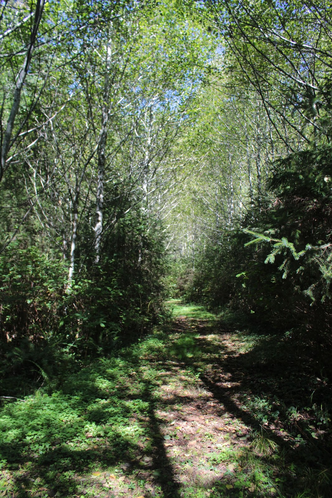
At the top of a ridge, a right turn was taken on the Scurvy Ridge Trail and had I not been feeling so maudlin, I probably would have "arrghed" like a scurvy buccaneer. This hike was not about the views at all, it was rapidly becoming apparent that I would be spending plenty of quality forest time on this venture. No complaints though, the soft soughing of the coastal breeze in the trees and the twittering of small birds were soothing to this troubled soul.
 |
Hitsi in the woods
|
Back in the day, the area was populated by the Siuslaw native Americans who hunted elk and deer in these very same woods. They would build hunting cabins called hitsi, where they would spend the night in the woods waiting for the deer to raid them and steal their hiking poles. Or maybe the pole purloining is strictly a Richard O'Neill experience. At any rate, a hitsi replica had been built as an Eagle Scout project and made for an interesting learning experience on the trail.
 |
| Peaceful trail |
At about the 1.5 mile mark, I left the Scurvy Ridge Trail for the Berry Creek Trail. The route down to the creek was actually an old roadbed gone delightfully grassy. Leafy alder trees gracefully arched over the trail, keeping this hiker shaded and cool, although the temperature was mild and the cooling was not all that necessary. There was a bench at what may have once been a viewpoint; if it was a viewpoint, the trees had long since blocked any view to be had.
 |
| Making friends wherever I go |
From there, the trail dropped 1,000 feet in about two toe-jamming miles to the bottom of Berry Creek's canyon. Any joy I may have felt about walking downhill was counteracted by the knowledge that I'd surely have to hike back out of the canyon if I wanted to return to my car parked at Dry Lake.
 |
Berry Creek
|
Berry Creek was just a small creek, barely running across the trail and just as anticipated, the trail began a mad charge up and out of the canyon. There are lots of trails in the area, affording the opportunity for various loops and distances. At a trail junction, I chose the right hand fork simply because it would make for a longer hike. The grade was not as rigorous as it had been heretofore, instead the path angled upwards at a relatively gentle grade to a grassy meadow atop an open ridge.
 |
Partial view to Florence
|
Apparently, the Forest Service maintains the meadows on top of the ridge as an elk habitat but I saw no elk and no sign thereof. A bench with a view to Florence was a perfect opportunity for lunch and contemplation and I partook of both activities. Despite the sun, the air was misty and even though Florence was nearby, it was still hard to see for any distance. I could make out the sand dunes on the coast and the Siuslaw River being ushered by its jetties to the sea.
 |
| Sutton Lake, way below the trail |
We hikers have learned to hate ridge trails. Ridgecrest trails go up and down, are always steep, and never level. This ridge trail was no exception other than there was not much downhill at all. After providing a view of Sutton Lake, the path ducked into the forest for the last climb before dropping down to the car.
 |
| Just a gorgeous day |
So, in the end I don't have any words of wisdom to explain what simply cannot be explained. There was no catharsis, no epiphany, and I still felt bad. Yet somehow, getting out into peaceful woods where things make more sense did help a little bit. Time will eventually dull the sharp edges, so to speak, and the only thing I can think of to do is to continue hiking for hiking's sake and then write silly blogs about the experience. Life does go on, and this hike was one small step (for me, anyway) towards a semblance of normalcy.