Saturday, July 29, 2017

Tamolitch Blue Pool (club hike)


As a self-appointed Ambassador of Hiking, I believe that everybody should go hiking. But then there are places like Tamolitch Blue Pool, and I realize that no, not everybody should go hiking. I hate to be snooty and look down my nose and distinguish between "real hikers" and "casuals" but lamentably, this hike demonstrated what can happen when "casuals" get out on the trail.

Thanks for the shade, vine maples!
Lane and I had hiked to Tamolitch Blue Pool over a month before, but that particular day was overcast and dreary. While the trail seemed busy, it just did not compare to the frenetic activity on the McKenzie River Trail on a gorgeous summer day.


10 adults, 5 children, and 1 dog


I was leading a hike for the Friends of the Umpqua Hiking Club and 10 adults, 5 children, and 1 dog set out onto the McKenzie River Trail near Carmen Reservoir. This was a shuttle hike, meaning we left vehicles at both ends of the trail, and would walk this section of the McKenzie River Trail end-to-end. At the Trail Bridge Reservoir Trailhead, we noticed Search and Rescue crews assembling there, the chatter among them was that someone had gotten hurt on the trail.

Carmen Reservoir
However, at Carmen Reservoir, we were unaware of any trailside drama and we enjoyed some lusciously shaded forest as the trail crossed and recrossed the McKenzie River several times. The river was dry for three miles because when the Carmen Reservoir dam was constructed in 1963, the subsequent diversion of water left the McKenzie River dry. Unbeknown to the engineers, a significant portion of the river flow ran underground right where they built the dam. "Oops!" some hydrologic engineer probably said at the time. At any rate, while we walked along the river channel, there was nary a drop of water to be seen. But not to worry, the underground river eventually reappears at Tamolitch Blue Pool.

Just a gorgeous day
The McKenzie River Trail is a mountain bike mecca and we got used to stepping aside for the cyclists. The path wended its way through the lush forest and this was for all intents and purposes, a "real" hike. That all changed when we reached the Blue Pool after 3.5 miles of hiking.

Tamolitch Blue Pool


The McKenzie River emerges from its underground journey at Tamolitch Blue Pool. Filtered by miles of volcanic soil, the water is sparkling clear and imbued with the most amazing sapphire blue color. It is a stunning scene but alas, the Blue Pool is being loved to death. The Pool is ringed on all sides by tall cliffs and maybe one-hundred-plus people were perched on the cliffs. A palpable pall hung over the scene as a rescue was taking place as we watched.

There was a pall when we arrived
Seems a young lady had tumbled 80 feet down a cliff and naturally, was seriously injured. The extraction of a hiker is quite a painstaking and elaborate process, plus it is a very slow process. To wit, the fall occurred sometime in the early morning. There is no cell phone coverage so other hikers had to hike the 2-plus miles back to the trailhead, taking close to an hour. But wait, there is no cell phone coverage at the trailhead either, so they had to drive down to Belknap Springs before they could reach 911. After the call went through, there was staging time involved, plus the rescue crews came from Corvallis and Sweethome, each over an hour's drive away. Then the rescue crews had to hike 2-plus miles reach to the injured party. So, help did not arrive until many hours after the initial incident, which is typical for these types of incidents. After retrieving our shuttle vehicles when the hike was over, we departed from the trailhead around 4:30 PM; the fall probably took place close to 9 o'clock in morning. The stretcher party had not yet made it back to the trailhead by the time we left: 8 or 9 hours is a very long time to be injured without significant medical care.

Oblivious to the danger, teenagers jumped off cliffs
Because of the cliffs, the extraction was deemed to be a "mountain rescue" which meant they had to use ropes to rappel down to the injured woman and then painstakingly stretcher her up inch-by-inch up the rough and rocky slope. Once they got her up on top of the cliffs, there was more time spent in first-aid triage. The young woman was immobilized on a backboard and then gingerly toted down the trail on a one-wheeled stretcher, she obviously was in pain and was the perfect picture of misery as she held her face in her hands. Out of respect, I didn't take any photos of the rescue. Out of disrespect, teenagers jumped off the cliffs and into the pool as the rescue was being performed about 50 yards away.

The McKenzie River Trail


On the trail, a phalanx of trail crews removed rocks, roots, and branches ahead of the stretcher party. A crew captain walked in front, loudly calling out obstacles to the crew carrying the injured woman. Ahead of all this, a sheriff's deputy warned hikers off the trail. Their pace was quite slow, as they didn't want to cause any other injuries by tripping or falling. The deputy had us bushwhack around them because we could actually bushwhack faster than they could walk.

Vine maples
The Trail Bridge Reservoir Trailhead is just two miles away from the Blue Pool and on a summer day, it really makes the Blue Pool way too accessible. Coming up the trail were hundreds of "casuals" hiking in flip-flops and bikini bottoms. Many were trundling wagons containing food, beer, and diapers. And all that leads me to my conclusion that some people simply shouldn't be out on the trail.

Dense vegetation next to the trail
So yeah, I do preach the Gospel of the Holy Vibrum-Soled Hiking Boot. And yes, I do believe the world would be a better place if everybody hiked. But I need to amend that position a little bit. The world would be a better place if everybody hiked....safely. There is danger inherent in hiking and always, that danger must be respected. Toddlers playing at the cliff's edge, people hiking in flip-flops or bikini bottoms, teenagers jumping off cliffs, or would-be explorers going off-trail on a cliffy slope demonstrate an incredible level of disrespect and/or ignorance. The trail doesn't care, it just randomly and dispassionately exacts its price from its victims.

Crossing the McKenzie River on a log bridge
The young lady who was injured, fortunately, was not seriously hurt and is expected to make a full recovery. However, her rescue was the third rescue that week. Three days prior to our hike, another young lady had slipped as she jumped off the cliff and landed on the rocks below, shattering her hip. Every summer, it seems there are several fatalities at the Blue Pool, all of which, in hindsight, could have easily been avoided by respecting the danger at the outset.

Wintergreen, going to seed
I'm sorry this blog post is not really about hiking, but to be honest, the whole experience soured me on the Blue Pool, it's too much of a zoo. I may come back in winter on snowshoes but not again on a nice summer day.


A duck floats in the Blue Pool
Sick at heart over the injured woman, I took no more photos after our arrival at the Blue Pool but did upload the few I took into a Flickr album.


Friday, July 28, 2017

Henline Falls

Had to sneak in a hike, somehow. Dollie had gone off to visit family in Spokane, leaving me untended for a couple of weeks, what could possibly go wrong? The answer to that question is better left for blogs about crazy glue and cats, not humble little blogs about the wonderful avocation of hiking. At any rate, Dollie was coming home and I had to quickly clean up the smoke stains and return the kangaroo to the game park. She was swinging by Beaverton to visit daughter Aislinn, plus she was bringing Daweson back with her, who had been visiting his father, also a Spokane resident. I went up to visit Aislinn and husband Justin, and to take Daweson off of Dollie's hands. To make a good trip gooder, Daweson and I broke up the long trip to Roseburg with a short hike in the Opal Creek Wilderness.

This little corner of the Opal Creek
Wilderness is beautifully forested


From the trailhead, the path was all about the forest. The shade was as deep and dark as a poet in the midst of a creative spell. It was cool as a bowl of gazpacho too, much appreciated when the weather is as hot as a spoonful of my Tio Jorge's menudo and I think I'm meataphor'd out. At any rate, the day was warm, but definitely cooler under the trees as Daweson scampered through a dirt path in a forest thick and lush. Me, I didn't scamper but did take lots of pictures.

Ha ha sun, you can't touch this!
We did take a little side trip when a less-used trail intersected with the main trail to Henline Falls. We followed it for a bit and the brush and brambles severely encroached the path, which eventually petered out altogether, going nowhere in the process. So, it was a short backtrack to the main trail but we did add some mileage to a short hike.

Henline Creek goes over the edge
Rounding a bend at the mile mark, Henline Creek made an appearance under the maple trees. A slow breeze brought up cool moist air from the creek and both Daweson and I stopped and contentedly sighed "Ahhh...". This little creek had seen mining activity in the past and there were some cement abutments on the trail that we had to scramble over. Higher up on the cliff, the dark and mysterious mining adit (entrance or door, in mining vernacular) of Silver King Mine called out to us. The trees petered out at the base of a tall cliff that was cloven in two. Henline Creek tumbled over the gray cliffs in more than one place and water collected in a tranquil pool at the bottom of the falls.

Daweson tests his barefoot climbing skills
Time for us to play which meant Daweson waded and scaled cliff walls while I took way too many pictures of the falls and splash basin. I did scale the cliff with him to explore the mining adit. You could walk about 10 yards in an increasingly dark tunnel until a gate wisely prevented more exploration.

Splash pool at Henline Falls
After an hour's worth of waterfall-based recreation, we regretfully put shoes back on and headed back down the trail. On the way back, there was a plume of smoke rising up to the sky, it was the Whitewater Fire, the future bane of my Epic Eclipse Backpack Trip of All Time. But for now, this little hike made driving in the hot Willamette Valley more bearable, not that it is really unbearable in the first place, but you get my drift.

The Cave Creature of Silver King Mine
For more pictures, please visit the Flickr album.


Tuesday, July 25, 2017

Fawn Lake

I really detest deer, I've had my hiking poles stolen one too many times and have suffered through about 40 too many camp raids at 2 A.M. to feel anything but hate in my heart for the cervine larcenists. My antipathy towards the antlered devils even triggers involuntary conniption fits whenever I hear the phrase "North Bank Deer Habitat", even though I hike there often. 

Gnome plant emerges 
"But fawns are cute" I am told. Well, you shouldn't have kittens if you don't like cats. As a person who regularly gets tormented by a singularly annoying cat that I can't hurt because it belongs to my wife, I don't have kittens. And following that same logic, I don't have fawns, either, because they are sure to grow up to be hiking-pole stealing adult deer. So deep is my loathing of all things deer, that I nearly didn't want to ever hike to Fawn Lake ever, just because of the name.

Wispy clouds foretold the arrival of a thunderstorm
But what's in a name, anyway? Not much, in the case of Fawn Lake. The lake is an absolute gem of a lake sparkling in the midst of all the scrawny lodgepole trees and dusty pumice soil so prevalent on the east side of the Cascades. I'd even go there again, in spite of its titular homage to baby deer.

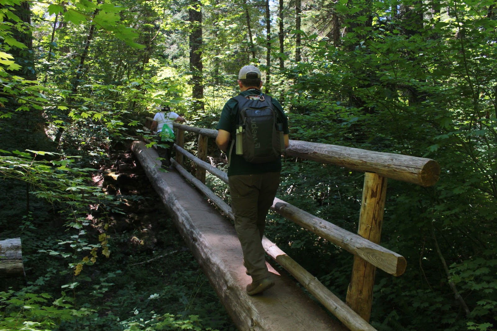
Most of the hike was inside the wilderness
Starting at the Crescent Lake boat ramp parking lot, the trail went dusty at the outset as it wandered through sparse woods before crossing paved Forest Road 60. Once across the road, the trail entered the Diamond Peak Wilderness and became a real hike, with mosquitoes and everything. Deet was quickly slathered on to ward off the airborne school of six-legged piranhas.

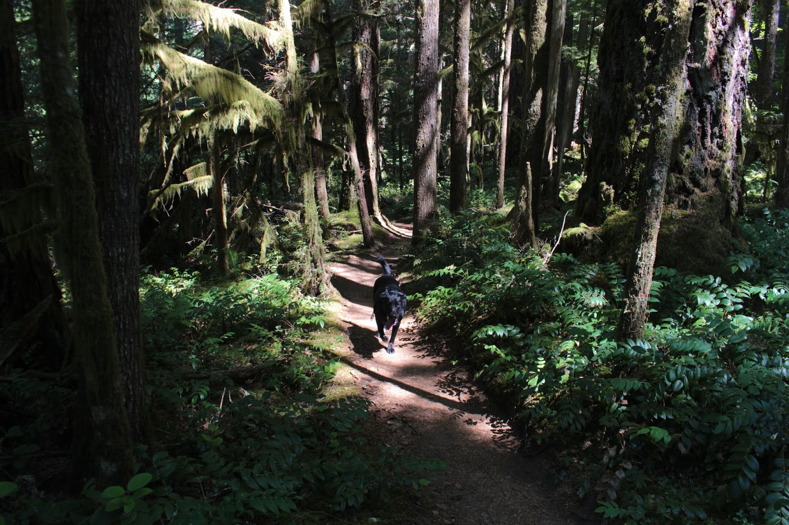
Yup, my view for nearly 4 miles
Angling gently uphill for all of its 3.7 miles, the trail passed through viewless forest consisting of mostly spindly lodgepole pine trees. At just under the one mile mark, the Fawn Lake Trail intersected with the Pretty Lake Trail. My guidebook said the Pretty Lake Trail was unmaintained and sketchy but it looked like it's seen the love lately as it was wide, clear of fallen trees and brush, and with trail tread well tromped out by lots of hiker boots. I think I just found my return route back from Fawn Lake!

Lodgepole trees in all their scrawny glory
There wasn't a lot to see on the way up. It was hot and the forest was full of mosquitoes so mostly, I kept my head down and just trudged uphill. It was quite jarring when the trail, without warning or preamble, just bumped into Fawn Lake, where I plopped down to enjoy the view and eat lunch while slapping at mosquitoes brave enough to drill past the thick layer of Deet on my skin.

Time to ooh and aah at Fawn Lake
This lake really is a jewel. At the far end of the lake, rose the scenic and craggy twin peaks of aptly named Lakeview Mountain and generically named Peak 6892. To the left, was cliffy Redtop Mountain. A soft breeze blew and sunlight sparkled on the on the rippled surface. Dragonflies and butterflies flitted to and fro, alighting occasionally on the shoreline vegetation. The cold water was amazingly clear and a myriad of water boatmen (a small aquatic bug) paddled their oars just underneath the lake's surface. Unbelievable that such a pretty lake could actually be named after devil deer spawn.

Peak 6892 and Lakeview Mountain
Speaking of pretty lakes, after lunch I resumed hiking along Fawn Lake's southern shore with the intent of hiking to nearby Pretty Lake and then returning on the steep, but downhill, Pretty Lake Trail back to the Fawn Lake Trail. Hiking was slow along Fawn Lake because each new bend in the trail provided yet another different look at the lake and each time, I just had to bushwhack down to the lake for a look-see.

Clouds form as the storm arrives
The far end of Fawn Lake was particular scenic, providing a closer look at Lakeview Mountain. Fawn Lake was visible in its entirety, and puffy white clouds formed in a blue sky above the lake. Much photography ensued.

The day went dark in about 15 minutes 
Boom! A loud clap of thunder got my immediate attention. Seems those puffy white clouds were the precursors to thunderheads that were blowing in from behind me while I had been distracted by Fawn Lake. It took like only 10 minutes for the day to switch from hot and sunny, to hot and stormy. The rumbling of thunder was now a constant and it was like hiking in the bowling alley of the gods. I'm not sure who Prudence is but prudence dictated I seek lower elevation immediately. Since Pretty Lake was higher in elevation than Fawn Lake, rather than loop it back on the Pretty Lake Trail, it was back the way I came on the Fawn Lake Trail. There's no real upside, that I can think of, to getting pretty electrocuted at Pretty Lake.

Trail, through the lodgepole forest
Lodgepole forest is not particularly scenic. Lodgepole trees tend to grow in poor soils where no other tree will grow, so a lodgepole forest will invariably consist of trees that are thin, scrawny, and spindly. Because of the poor soil, there generally is not a lot of undergrowth. I didn't take a lot of pictures of the forest because there really isn't much to take pictures of in a lodgepole forest. Plus. coming up the trail I had mostly focused on trudging uphill while sweat, sunscreen, and Deet dripped onto my stinging eyes as I cursed mosquitoes. But on the easier hike downhill, I discovered there really was a lot to see.

A healthy clump of pinesap
The heterotrophic plant community was having a heyday, emerging from the pumice soils in abundance. Pinesap was everywhere, sprouting in dense clumps while less common pinedrops were scattered here and there in comparatively more stately and elegant stalks. Much rarer were the seldom-seen gnome plant and I was fortunate to find a couple of clumps flowering pretty much upon emergence from below. In all my years of hiking, I had never seen gnome plants and now this was the second summer in a row I've run into these little oddities.

Help meeeeee.....!
"What is a heterotroph?" you ask? Well, maybe you didn't ask, but I'll tell you anyway. Heterotrophs are plants that lack chlorophyll and hence, are unable to make food from sunlight. Therefore, they must obtain nutrients by parasitizing upon nearby tree roots, probably lodgepole trees in this case. Anyway, I spent a lot of time at ground level, taking pictures of pinesap, pinedrops, gnome plants, and candystick. On one candystick, a crab spider had ambushed a bee and I got a cool picture of the insectile murder. The bee didn't think it was all that cool, though.

Mammatus clouds
Boom! Dang thunder interrupted my photo shoot! The rumbling was getting louder and louder so I walked pretty fast down through the forest. Fairly often, I'd stop to take a photo of something and the electricity gods let me know their displeasure by startling me with a loud clap of thunder. But at least they weren't hurling thunderbolts...yet. At the parking lot, the cloud formations were truly spectacular.

The lighting and clouds were on the eery side
Mammatus clouds are, according to Wikipedia, "sagging pouch structures" on a cloud. Basically, mammatus clouds are the soft dark sagging underbelly pouch-structure of a thunderhead cloud. My thought, on seeing these clouds, were that they were less sagging pouch structures (I have a few of those too, by the way) and more like celestial bubble wrap. That would explain how thunder gets made, too: Thunder is merely the sound of gods popping bubble wrap.

A stalk of pinedrops gets ready to flower
At any rate, this was a nice little hike in spite of the deer-based name. For more pictures of this hike, please visit the Flickr album.


Saturday, July 22, 2017

Olallie Mountain

Olallie Mountain had been on my list for quite some time and I finally made it. Unfortunately, though, several weeks after this hike, the Rebel Fire set up camp below Olallie Mountain so I'm not likely to return there in the near future. At the time of this writing, I'm not sure whether there will be any shady forest left on the Olallie Trail after the fire, either. It would really be a shame if the fire overran the Olallie Trail, because the lush vegetation and deep shade were some of the main attractions on this green hike. But at least I made it before fire season began in earnest in Oregon.

Beargrass was common in the meadows


Accompanied by trusty canine friend Luna, I set out upon the Olallie Trail and entered the Three Sisters Wilderness almost immediately upon leaving the trailhead. The Olallie Trail pokes into a corner of the wilderness on the western border, so the Three Sisters were fairly far away despite our hiking in the namesake wilderness. As a result, the Three Sisters would be pretty much a non-factor on the lower (and forested) section of this hike.

Salmonberry, not quite ready for eating


The tree cover was as thick and lush as a young man's mane, and the shade dark as a teenager's mood, but a whole lot more pleasant to be around. Spring was definitely going on, and I spent a lot of time low to the ground, sometimes lying on it (while a dog licked my ear) taking pictures of bunchberry, wild ginger, coneflower, penstemon, Columbia windflower, and goat's beard. And speaking of goat's beard, I probably should shave soon.

"To sit in the shade on a fine day and look upon
verdure is the most perfect replacement" - Jane Austen
The trail angled steadily uphill through the forest before crossing a small creek in just under a mile. Intrepid bushwhackers can follow this stream to its source at Wolverine Lake. However, I was expecting a clearer route; the hillside was covered with thick vegetation and fallen trees and while Luna was not averse to a good bushwhack, I wasn't in the mood, so we kept hiking on the Olallie Trail.

Humid meadow on Olallie Mountain
And now a word about the weather. On the drive up, there was a chill in the morning air and geese were flying south in their traditional "V" formation. In sunny exposed areas along the roadway, vine maples were showing their first autumn blush. Winter is coming. But not so fast, Richard, by mid-afternoon, the oppressive heat had taken care of all that winter chill. While the forest was shady, it was fairly warm despite the shade. Meadows were worse, where the sun baked both dog and hiker noggins. The stultifying heat had us both panting to keep cool, while the humidity had us all sopping wet in short order. Note to self: don't wear a black shirt when it's hot and humid like that.

Looking down the French Pete Creek valley
From the junction with the Olallie Trail and the Olallie Mountain Trail, it was all meadow and it was all uphill, too. I bonked, and it was a slow trudge for the remaining mile or so to the Olallie Mountain summit. Gone were all the shade loving flowers but on the plus side, I got to take pictures of sun-loving beargrass, Washington lily, lupine, and Indian paintbrush.

The Three Sisters, from Olallie Mountain
One last steep push delivered us to the Olallie summit where an old lookout and prodigious views were our reward for all the hard work. And best of all, the rustic and dilapidated lookout provided shade on one side, so we plopped down and enjoyed the expansive panorama before us. The Three Sisters were directly to the east and easily dominated the view. North of the volcanic sisterhood was Mount Washington, Three-Fingered Jack, and snowy Mount Jefferson. In the haze to the south, Mount Thielsen was barely visible. On the west side of Olallie Mountain, the valleys and canyons of Rebel Creek and French Pete Creek dropped off into the South Fork McKenzie River, all winding up in the prominent McKenzie River valley. In the distance, were the faint blue ridges of the Coast Range. Pretty awesome view,  if I do say so myself.

South Sister, on the way down
After a lengthy lunch, view-soak, and photo-shoot combo, we reluctantly left the summit and headed back down the trail. On the way down, we ran into another hiker who had one of Luna's kind with him, much to the enjoyment of both our dogs. He had just done a PCT section hike and was looking to hike the trail around the mountain. Unfortunately he had to give that idea up, stating the Olallie Trail, just past the junction, was pretty much lost to the vegetation. Of course, the following week, the Willamette National Forest posted an announcement that they had finished brushing out the Olallie Trail. And of course, a week later, the Rebel Fire set up camp for the remainder of the summer. I guess my timing was both good and bad for this hike, but at least my very lengthy list became one hike smaller.

The seldom seen fringed pinesap
For more pictures of this hike, please visit the Flickr album.


Sunday, July 16, 2017

McKenzie River Trail


Ah, what a relaxing trail (unless you lose your dog!) this little section of the McKenzie River Trail is. Miles and miles of vine maples providing ample shade, tall Douglas fir trees reaching to the sky, a rushing river just off trail, and rustic bridges crossing merrily burbling creeks. If that doesn't ease your stress, nothing will. Of course, some of that stress release was negated by the worry caused by a missing dog, but more on that little episode later.

Twinkling green stars overhead
Luna (the aforementioned bad doggy) and I set out from Belknap Hot Springs Resort and were immediately rewarded with a lush and cool forest. The day was hot everywhere else in southern Oregon but the river moisture in the air; the shade from the trees; and a mild breeze, kept hikers and bikers cool. If word ever gets out about this, there'll be hundreds of thousands of people sitting under the trees, sighing contentedly in blessed relief from the heat wave currently cooking the Pacific Northwest. 

Indian pipe
The McKenzie River Trail (hereafter referred to as the MRT because it's too long to type out over and over again) is a National Recreation Trail, because it contributes to "...health, conservation, and recreation goals in the United States." To which I ponder "But don't they all?" but that's just me talking. At any rate, the MRT is close to Eugene, easily accessible from the McKenzie Highway, and proffers up  some pretty cool scenery and a classic river flowing just off trail. Mountain bikers love the trail and hikers have to get used to stepping aside for the bikes but in my experience, both hikers and bikers are polite and get along just fine. The main drawback to the MRT, in my humble opinion, is that the trail lacks that wilderness feel.

The McKenzie River Trail soothes on a warm day
For the first section from Belknap Hot Springs, the trail parallels the nearby McKenzie Highway. The sound of whooshing cars is clearly audible but if you plug your ears and/or ignore the sounds, the forest is simply beautiful. Small little side creeks rush into the McKenzie River and rustic one-railed log bridges span the creeks. I crossed the creeks on the bridges while Luna joyfully splashed across, as is her wont. And speaking of rushing into the the McKenzie River, Luna did plenty of that too.

Hey you! I'm taking a picture of you!
We stopped for a brief view-soak on a rocky bar next to the river. The McKenzie River gets its inception at the remarkable Great Spring at Clear Lake; the spring being noteworthy for the striking blue color and crystalline clarity of the water. As the Great Spring's love child, the McKenzie River sports both these traits. Rafters came through the rapids above the bar, intensely focused on navigating the roiling river and on keeping their crafts right side up. That's probably why they didn't wave at us or smile for the camera.

Bridge crossing at Scott Creek
After a couple of miles, the trail crossed both Scott and Boulder Creeks and then spit us out of the forest and onto the shoulder of the McKenzie Highway. Like I said, not really your basic wilderness hike. But not to worry, after about 20 yards, the route crossed over to the other side of the river on paved Forest Road 2560. Now that there was a noisy river between us and the equally noisy highway, we enjoyed that "real hike" ambience that can only be found on a forest path. We still had to step aside for a steady stream of mountain bikers, though.

The McKenzie River was always next to the trail
Mostly this hike was all about the forest as the river was only occasionally and partially visible through the dense stands of vine maple. There was no particular destination to hike to, although Deer Creek would have made a logical turnaround at 6 miles out. However, we turned around where the McKenzie divided around a rocky island at the 4 mile mark.

Bad doggy!
Luna had been such a good dog, too. She had stayed within eyesight and dutifully obeyed my commands to stay close. But she has no filters for right and wrong, and is as impulsive as a late-night tweeter. Just like that, she was no longer visible ahead of me and I really wasn't sure when or where she had disappeared from sight. I assumed, because she walks a lot faster than I do, she had gotten far out in front of me so I picked up my pace trying to catch up to her.  After a mile or so, it was obvious she was clearly lost from me.

Vine maples doing the vine maple thing
Worried at this point, I even turned back and walked the mile back but still no Luna. Sick at heart at the thought of her having to be all alone in the forest, my next plan was to walk to the car and wait to see if she'd show up or not. If that proved fruitless, I had no plan for what to do afterwards. 

Cold and clear, just like me!
The MRT is a busy place with all the hikers and bikers but of course, I walked for miles and miles without seeing a soul. Finally, after I crossed over to highway side of the river, a family came walking up the trail. Unfortunately, they hadn't seen a stupid black dog walking by herself. They were really quite sympathetic to my plight and as they commiserated, their son interrupted "Mister, is that your dog?" and here comes Luna trotting down the trail, relief palpable in her body posture.

Huckleberry, not quite ready for eating
Mind you, we had been separated for at least two miles. She had to navigate past two trailheads, cross one forest road, follow a paved road across the river, and safely walk next to the highway before she caught up with me. Quite a testament to her innate navigational ability. Or, if she followed me by sense of smell, quite a testament to my man-funk! Either way, our reunion was joyous and she remained leashed for the remainder of the hike. She'll probably remain leashed for all future hikes, too.

Sun dappling
No longer toting that cold orb of dread in the pit of my stomach, the remainder of the hike was much more relaxed as we returned to Belknap Hot Springs. I did notice though, that when Luna found me, she was soaking wet. She couldn't have been all that worried if she still could indulge in another dip in the river. The stress was all mine, apparently.


The McKenzie River
For more pictures of this hike, please visit the Flickr album.