"Grandpa, stop the car!" came the frantic cry from the back seat "I'm going to be sick!" If there's one thing I've learned in my lifetime, it's to immediately honor that particular request so stop we did. The door flew open, Issiah rolled out onto the gravel road and for the next few minutes, us car occupants were treated to a symphony of wet urping noises that had us all (me and other grandchildren Daweson and Coral Rae) holding back sympathy gags. It was pretty much at that point that I became resigned to the fact that this hike was going to be less than epic.
 |
| What's a hike without some poison oak? |
Before I continue on with the story of this hike, let's take a quick side trip to the tale of how the current incarnation of the Mule Creek Trail came to be, based on my recollection from a presentation I attended, several years back, given by Gabriel Howe, the executive director of the Siskiyou Mountain Club. Gabriel had been hired as a summer caretaker for the Rogue River Ranch, a backwoods museum located near Marial. One day he went to hike the Mule Creek Trail and found out to his chagrin that the trail had long since been abandoned and was no longer in existence.
 |
| Mountain goat on a cliffy goat path |
Irritated that the trail would be on the map but not on the ground, he formed the Siskiyou Mountain Club to refurbish and maintain hiking trails in southwestern Oregon. One of the first projects completed was the complete rehabilitation of the Mule Creek Trail. Nowadays, the trail works its way up Mule Creek's rugged canyon, eventually joining up with the Panther Ridge Trail (after a whole lor of uphill walking), and then returns to the Rogue River Trail to complete a 25'ish mile backpacking loop. In a case of "if you build it, they will come" the Mule Creek Trail sees a fair amount of use from backpackers looking for a rugged and challenging trek.
 |
| Guess which three belong to me |
I was really looking forward to getting out on this trail for my first time but an urping child was going to definitely curtail this initial visit. However, Issiah is a battler and he was willing to give it some kind of effort so we continued on to the trailhead, rejoining with the Friends of the Umpqua, who were waiting and wondering what happened to us.
 |
| Trees have to get used to growing in rock around here |
Mule Creek runs into the larger Rogue River near the remote way station of Marial so it would figure that Mule Creek would resemble a figurative child of the Rogue River Trail. The vibe was all Siskiyou as the rough track meandered through trees consisting of that Siskiyou mix of oak, laurel, madrone, and conifer growing on the slopes of an arid and rocky ravine.
 |
| Way too close to the edge (don't tell his mom!) |
Didn't take long for the trail to get cliffy à la Rogue River Trail too, as it was etched into a cliff face overlooking Mule Creek's deep and inhospitable gorge. In many places, it was so deep that the creek was hidden from view as it tumbled and roiled somewhere down at the bottom of the seeming abyss. We stopped for several gawk-stops in between short rounds of hiking like so many mountain goats on a narrow trail.
 |
| Precarious bridge at the first crossing |
After a mile or so of hiking, the bridge at the first of three crossings of Mule Creek came into view, the bridge looking ever so frail and tiny when compared to the massive canyon it was spanning. After the bridge crossing, the trail would forsake Mule Creek proper for Mule Creek's west fork. Same old rugged canyon vibe, though, no matter which fork of Mule Creek we were on.
 |
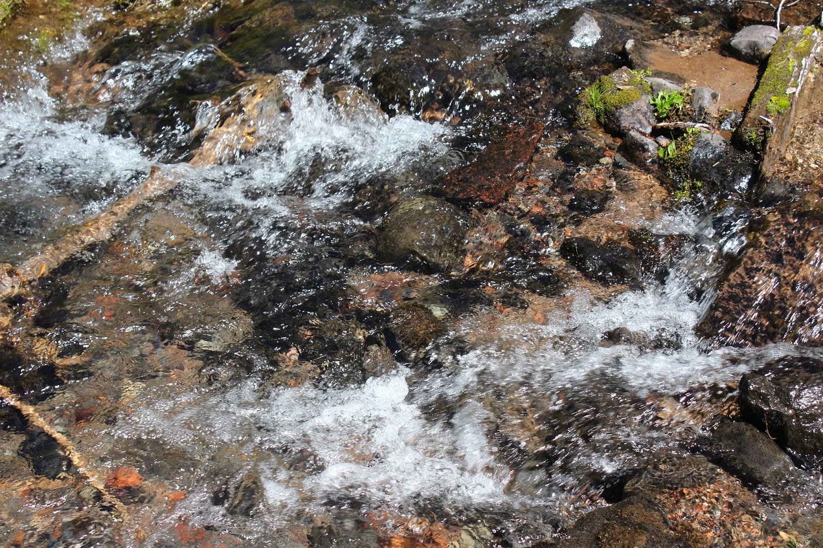
| A creek full of caddisfly larvae |
The trail crossed the creek for the second time at a shallow pool with stunningly clear water which left no place to hide for the abundant numbers of caddisfly larvae crawling on the bottom. For protection, caddisfly larvae glue small pebbles and twigs around their soft bodies and as a result, it looked like small rocks were scuttling about on the creek bottom.
 |
| A cluster of Solomon's seal fruits |
Issiah's warrior heart was willing but frankly, throwing up really depletes the body's energy reserves and he was gassed at this point. He graciously offered to sit at the pool and nap while we continued on to the third crossing of the creek, so we left him in the shade and continued walking uphill on a brushy trail. Having to choose between child abandonment and hiking, I'm glad to report we all chose hiking!
 |
| A couple of head-dippers |
The hot and dusty trail headed up and over a brushy ridge before dropping down to the third crossing located at the bottom of a narrow gorge. The kids decided this was the place to kneel next to the rushing creek and dip their heads into the cool water, much to the amusement of us adults too dignified to do the same, although we all secretly wanted to.
 |
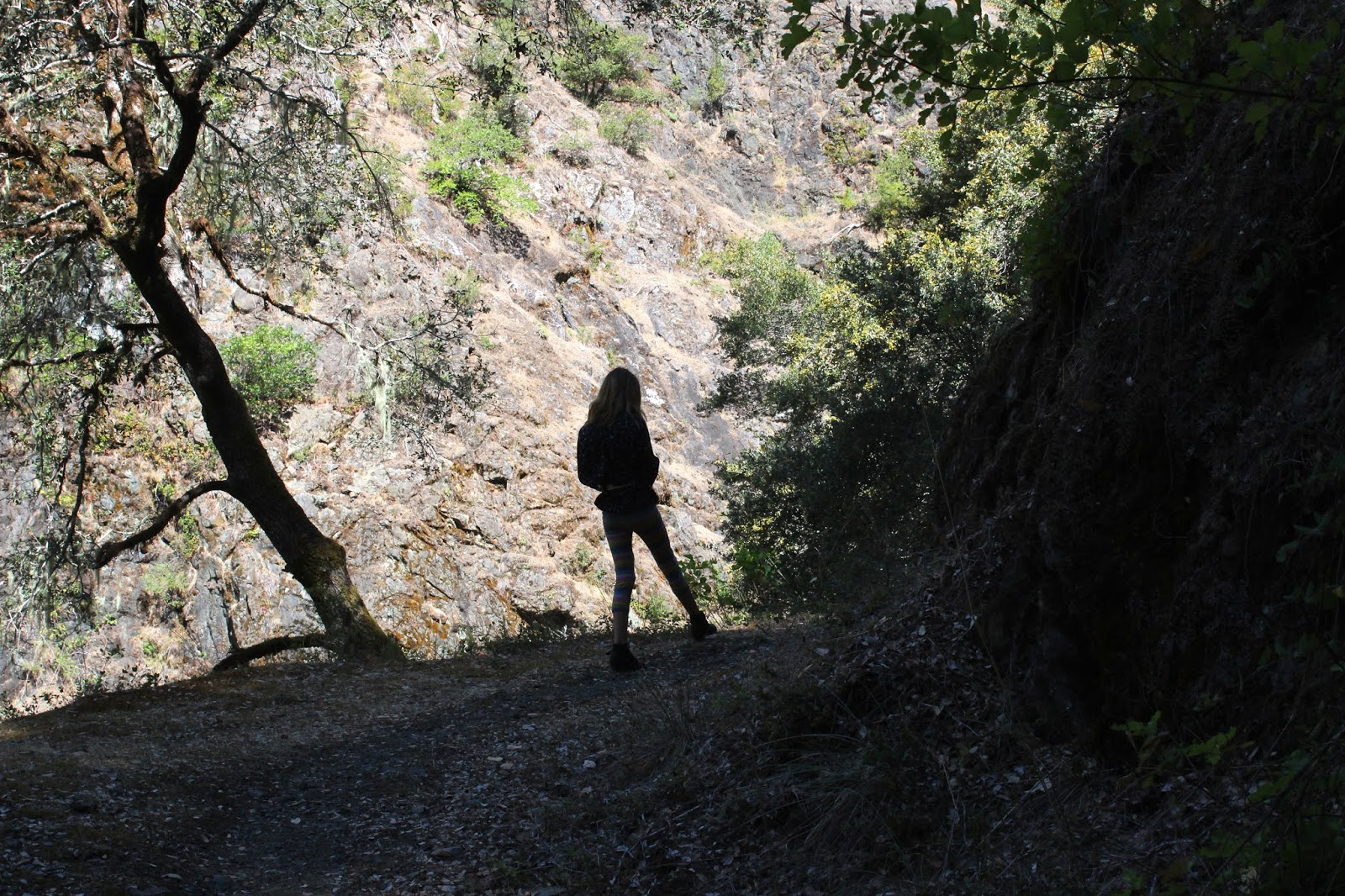
John arrives at the third crossing
|
From here, the trail begins a long a protracted climb out of the Rogue River canyon (of which, Mule Creek and its canyon were a lesser part of), culminating on top of Panther Ridge. The climb is long and steep enough to make you hate hiking, but fortunately for me and my crew, we were going to turn back and retrieve Issiah. Our hiking friends would continue on for a mile or two before turning back, so we said our goodbyes and returned to the second crossing.
 |
| Beetle battle on a common yarrow |
So, this wound up being a long drive for a short three-mile hike but some things just can't be helped. It was truly some spectacular landscape and scenery, and my appetite's been whetted for a return visit. And speaking of appetites, Issiah didn't have one but at least he didn't urp up any more and our return to Roseburg was less eventful than the drive to the Mule Creek trailhead.
 |
| A deep and narrow cleft contains Mule Creek |