Tuesday, June 30, 2020

Grizzly Peak

Let's raise our hiking poles in revererntial homage to the memory of Old Reelfoot, a notoriously crafty grizzly bear that terrorized cattle and stockmen in southern Oregon in the mid-1800s. Because of a paw injured by a bear trap, his unique footprint distinguished him from all the other grizzlies hanging around the Siskiyou Mountains and because he managed to elude hunters for so long, he became somewhat of a local legend. His range was mostly in the Pilot Rock area although he made many a hunting foray down into California, making him a wanted bear in two states. He had a good run but in 1890, time ran out for the elusive bear and he was finally hunted down and killed. Posthumously, he enjoyed a brief career as a stuffed and mounted touring exhibit in various museums, expositions, and fairs in the nation, although maybe "enjoyed" might be the wrong word here.

Every time skyrocket blooms, a retina dies


Anyway, in Old Reelfoot's honor, a smallish mountain near Ashland was given the name Grizzly Peak which coincidentally enough is the subject matter of today's blog missive. Grizzly Peak is a short hike, totally incommensurate with Old Reelfoot's fame as a terror of the Siskiyous but on the other hand, I'd hate to run into a grizzly on the trail, no matter the mileage of the hike involved. Deer are scary enough, never mind the bears.

It's a jungle out there!


Because it's a long drive for a short hike from Roseburg, I don't do this hike very often. In fact, this was only the second time I'd ever been to Grizzly Peak. Medford buddies Glen and Carol exposed me to this spectacular hike several years ago and while I was impressed then, I think I was even more appreciative of the rugged beauty this time out as the vegetation was a lot more lush than on my first visit, and that's the difference between hiking on Grizzly Peak in early summer instead of late spring.

But where are the poison oak and ticks?
The trail wasted no time heading uphill at a moderately brisk rate and the first thing I noticed was the lushness of the forest undergrowth. It was a veritable jungle underneath the tall trees what with all manner of plant specie, from tall delphinium to lowly wild ginger, flourishing in riotous exuberance. Orange columbine nodded next to the trail, their dangling tassels reminding me of a graduate's mortarboard. There were so many flowers, like thimbleberry and larkspur, just to namedrop a couple. All this and I hadn't even reached the meadows yet, where the real flower show would take place. Needless to say, my pace was relaxed and slow as I enjoyed the shady trail and wildflower display.

Alien-looking cow parsnip bud
This trail sees a lot of use because of its proximity to Ashland and Medford, and because of its relatively short length. Accordingly, the trail was wide and well kept, almost like a park path. For someone like myself accustomed to scrambling over fallen trees and wading through poison oak bushes, the civilized nature of the trail was most refreshing. 

The ever present Columbia windflower


The actual summit of Grizzly Peak is rather underwhelming, to say the least, looking like a rocky cairn in a sparse meadow surrounded by tall trees. No view, no epic barehanded scramble to the top, no sir. But then again, this hike is all about the meadows, at least immediately after the summit. The pattern for the next mile or so was to walk through alternating low-growing grassy meadows and lushly shaded forest carpeted with thick patches of candy flower. 

An ornate checkered beetle on a fleabane
In the meadows, much photography ensued, for the meadow were chock full of salsify (among many other flowering species), a yellowish sunflowerish bloom attracting a multitude of bees and butterflies. Not to be outdone were salmon polemenium (a salmon-colored Jacob's ladder), mountain-owl clover, sulphur flower, and patches of skyrocket, the brightest colored flower ever. As the trail looped around the broad and flat summit of Grizzly Peak, views of the surrounding terrain awed as they appeared through breaks in the forest cover in a taste of things to come. Although clouds took away the view of nearby Mount McLaughlin and the distant Three Sisters, I spotted Mount Thielsen, Union Peak, and the collective peaks adorning Crater Lake's rim to the northeast of Grizzly Peak.

The trail went through a series of meadows
In 2002, a wildfire started by a sparking power line raged on the west side of Grizzly Peak and nobody really cared, because Oregon's collective attention at the time was focused on the massive Biscuit Fire. The fire here on Grizzly Peak must have burned fairly hot because during the subsequent decades, a forest has yet to return to the western slopes. However, Grizzly's arboreal loss is our hiking gain, for the views here are simply astounding.

That little pimple is Roxy Ann Peak,
overlooking the city of Medford
The hike's flavor transitioned from parklike stroll through the meadows to rugged goat track on the edge of a rocky ridge. Below the rough trail was a lesser mountain which was basically an extension of a west-side ridge of Grizzly Peak. This "little" high point dominated the near view, its rocky ridge and acres of ghostly white snags commanding our attention and respect. The ridge continued north in a series of subsequent high points, culminating in the cone of Roxy Ann Peak, looking puny from here. As an aside, Roxy Ann Peak does not look so puny when hiking up to its summit.

Quite the view of Bear Creek Valley
Beyond Roxy Ann Peak was the wide Rogue Valley with Upper and Lower Table Rocks eminently visible at the edge of the valley. Immediately to the west was deep Bear Creek Valley with the towns of Ashland, Talent, and Phoenix all safely ensconced within. The Lord of all Mountains to the South, a.k.a. Mount Shasta, rose up like the awesome snow-covered volcano it is, while local landmarks Emigrant Lake and Pilot Rock were dwarfed by the giant cone rising over all. 

A bee gets a pollen bath
This was and is my favorite part of the hike. The topography is rugged, the views astound, and on a late June day, the flowers and insects put on a show in the low meadows thriving in the old burn zone. Balsamroot, golden yarrow, common yarrow, and bright red paintbrush were all in full spring song and the winged set of insects such as bees, wasps, hoverflies, butterflies, and moths all flitted and buzzed from flower to flower. Longhorn flower beetles and other horny beetle species waded in the pollen as they fed and frolicked in and on the numerous blooms, and not necessarily in that order. On bare ground baked hard by the sun, dwarf onions waved pink and purple flower pom-poms at the blue sky overhead.

Dwarf onion thrived in the hard, dry soils


The trail crested at a craggy overlook atop the high point of this trail and was a perfect place to eat lunch, sit, admire the view, and generally just ponder the meaning of life or go to whatever happy place your thoughts may take you to. After a totally enjoyable lunch 'n laze, I gathered up my stuff and continued hiking. The path returned to the familiar pattern of meadow to forest to meadow before closing the loop and bringing this short, but totally epic hike to an end.

A salsify captures a hoverfly's attention
Looking at the map of this hike, I noticed that to the north, Antelope Creek does a flow-by of Grizzly Peak. That would be appropriate because what's in my head (which is not always accurate) is that the 2002 fire was called the Antelope, or maybe the West Antelope Fire. However, my copious Internet research performed for this blog post failed to confirm my suppositions one way or another. Also, I searched for anecdotes about Old Prong Horn, the feared antelope scourge of the early pioneers of the Rogue Valley and yes, I'm making that up. Since antelopes live in the southern Oregon desert on the east side of the Cascades, naturally there would be no lore about fierce antelope living on Grizzly Peak, although they could have given Old Reelfoot a literal run for his money.

Oregon geranium was locally common in the burn zone
Fore more photos of this hike, please visit the Flickr album.


Saturday, June 27, 2020

North Bank Habitat (Blacktail Basin/East Ridge Loop)

When you volunteer to lead a hike, you do copious research to sort of figure out which route to take, what weather conditions might be like, what condition the trail is in, and then consider stamina and determination of potential participants. And after all that meticulous planning, there's hikes like this one at the North Bank Habitat, where nothing turns out like you planned but it all works out anyway.

Busy as a bee in a blackberry patch
Normally, you try to come up with a route that satisfies the average fitness of the hiking group, with options for more or less mileage, depending on the fortitude of each individual hiker. Basically, the core hike will tend to be an easy or moderate six to eight mile route with trail steepness also being somewhat moderate, although in the North Bank all trails are unavoidably steep.

Elegant brodiaea purpled up the dry grasses


However, when your group consists of only Brad and Coreena, well then, let's go for a good long hike, shall we? Those two certainly weren't going to show me any mercy! The planned route up Soggy Bottom was tossed into the mental garbage can and totally on the spur of the moment, I changed the route to go up Blacktail Basin with a return by way of North Boundary Ridge, Middle Ridge, and Thistle Ridge. Plenty of miles and uphill steps on that route to hold our collective interest. 

It was easy hiking in Blacktail Basin
The first mile and a half at Blacktail Basin were relatively level and served as a nice little warm-up for the upcoming lung-busting quad-burning endeavors. The sky was overcast, the temperatures were mild as we strolled lazily through the stately oaks dotting the pastures next to the small creek coursing at the bottom of the basin. The surrounding hills were just starting to brown but there was still plenty of grassy greenery surrounding the trail as we hiked in easy companionship.

Some of that moderate uphill grade
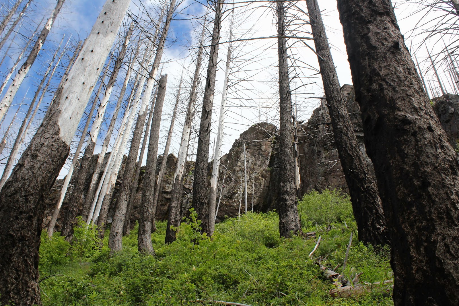
The levelness of the trail inclined toward the uphill side of things when we reached the basin's terminus and began hiking up the headwaters wall. Actually, "wall" is a bit extreme, for in all reality the uphill pull out of the basin was not all that bad. We were reminded that the North Bank is also a working cattle ranch for the trail was bordered by electric fencing that effectively discouraged any off-trail hiking. Besides which, on the other side of the electric wire were dense stands of head-high poison oak bushes, which also effectively discouraged any off-trail hiking. Plus, there were probably thieving deer lurking in the itch-spreading vegetation, just waiting to steal hiking poles, which would also discourage any off-trail hiking.

Why we hike
As we climbed, the views and panoramas expanded into that stunning scenery which is the main reason we hike here. We had attained the rolling windswept grass-covered North Boundary Ridge and were peering down the twin valleys of Jackson Creek's two forks as the small creek beelined for the North Umpqua River. Farmlands dotted the river plain and the North Umpqua River valley could be visually traced all the way to nearby Winchester. Beyond river and creeks were layers of hills and rounded peaks, marching into the distance like some hazy blue geologic army on its way to battle.

What "mostly sunny" looks like in Oregon


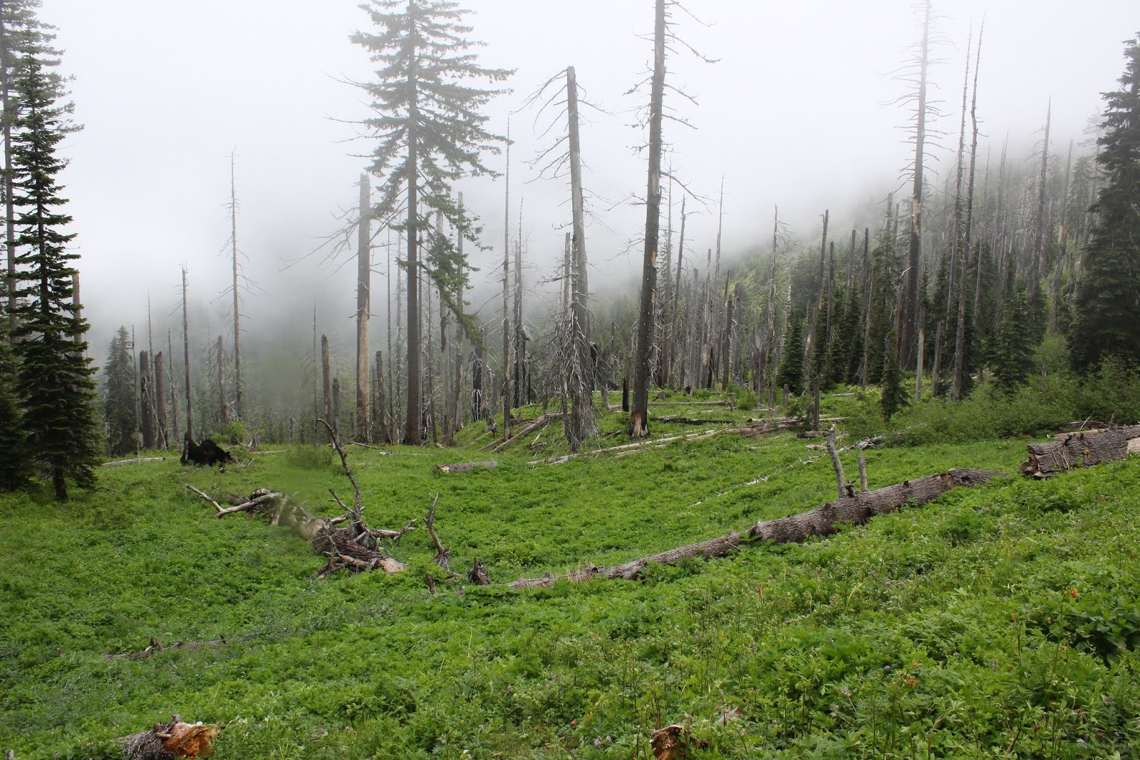
Part of my copious research duties required for planning this hike was checking the weather forecast, which called for "mostly sunny" weather. A forecast of "seldom and hardly ever" sunny would have been closer to the mark as the sun was about as rare and elusive as an albino Sasquatch. The air was welling up and out of the valleys which translated to a chill breeze wafting over the broad ridge we were hiking on, and windbreakers and extra clothing layers were quickly donned. 

Astounding view from North Boundary Ridge
There was a barbed-wire fence going across the trail and I didn't recall that being there before. We wanted to be good citizens and not trespass on private property so we turned back and made an impromptu decision to return by way of the East Boundary Ridge Trail. On the way back, we quizzed some hikers coming up from Blacktail Basin about the route and they said you have to hop over two fences to continue on the North Boundary Ridge, a fact that was later borne out when I read my notes from the last time I had hiked there. I guess my memory is as sharp as a watermelon these days.

Glad to be going down instead of up!
The East Boundary Ridge is a pretty cool hike on its own merits as it provides epic views of the surrounding terrain while going downhill. I've hiked up the East Boundary Ridge before and did take in the views during frequent rest stops where I huffed and puffed while bent over, hands resting on knees, majorly exhausted from the daunting uphill grade. Going downhill like we did today allows hikers to actually enjoy the scenery just for being scenery and not as an excuse for stopping to rest.

View down to Soggy Bottom
Brad is probably the fastest hiker in this spiral arm of our galaxy and mere mortals like me and Coreena cannot keep up with him. Hiking at Brad speed would be akin to keeping up with a cheetah on speed. Suffice to say, he couldn't stand walking with us slower folks (and were weren't THAT slow, either) and he soon disappeared from sight on the way down. When we reunited at the trailhead after this ten mile hike, his excuse was that he thought we were going to shorten the hike by hiking straight downhill to the trailhead instead of taking the longer trail. Nothing like that had ever occurred to me before but now it will, thank you very much Brad. I'll have to do some copious research to come up with a downhill shortcut for the next time I lead a hike here.

The East Boundary Ridge was our return route
For more photos of this hike, please visit the Flickr album.


Thursday, June 25, 2020

Hershberger Mountain

The last time Edwin invited me to hike with him to Hershberger Mountain, we inadvertently made a wrong turn and ended up at the incorrect trailhead. Rather than backtrack on a windy road, we decided to hike to the mountain anyway. Fourteen miles later, Mark and I decided Edwin's trail name was Sir Edwin the Cruel. In Edwin's defense though, that death march rendition of a hike was eminently beautiful throughout. So, when Edwin invited me recently to go revisit the scene of the crime, it was not without some trepidation that I accepted the invite. Cleve also joined us, probably only because he was unaware of Edwin's history as a hike leader.

Two old-growths, one of whom is Cleve


Well, I'm glad to report we managed to arrive, as we should have, at the Cripple Camp Trailhead but yikes, what a drive to get there. Trees had fallen all over the road and while the Forest Service had cleared the road, the basic driving mode was to continually cringe for ten miles as branches raked and scratched the side of my vehicle. It almost made me want to go to the wrong trailhead and do the longer hike again.

Windflowers ruled the shady part of the forest
Fire had visited this area a couple of summers ago but who cares when the forest is as beautiful as this one was, burned or not. From the trailhead, the trail ducked into a forest that had been singed in a few places but was mostly green with live trees and a consistently lush and vibrant carpet of vegetation and wildflowers evenly distributed on the forest floor. Columbia windflower was the dominant flowering specie, although yellowleaf iris, queen's cup,  and columbine made a valiant effort to wrest flower supremacy from the windflowers.

The building inspectors examine Cripple Camp Shelter
After just about a mile of hiking gradually uphill through the shady forest, we made a right turn at an intersection with the Acker Divide Trail. After the drive to the trailhead on that rough road with ample evidence of a mass falling of trees, I'm glad to report that surprisingly enough, the trail was relatively clear of trees and the hiking fairly easy at this point. Shortly after grabbing the Acker Divide Trail, the three-sided wooden Cripple Camp Shelter came into view and we stopped to examine the rustic shelter like the ad hoc building inspection crew we were. As a general observation, these backwoods shelters also shelter a healthy population of rodents that can creep out a would-be sleeping camper, so maybe we should have put on our pest control hats instead of our building inspector badges.

Forest, in recovery from a wildfire
The shelter is sited at the top of a large meadow and meadows would become an ever increasing theme on this hike. Surrounding the shelter was a small stand of massive old-growth cedar trees and speaking of old growths, all of us senior hikers were duly impressed! Surrounding the stand of cedar giants was a forest that bore the scars of the fire from a couple of seasons ago. Burned forest would also become an ever increasing theme on this hike, to also go along with the meadow motif.

Toad Lake, soon to be renamed Toad Meadow?
Toad Lake is basically a small wet spot in a very large meadow. Judging from fresh scars seen on a hike here about ten years ago, it looked like there used to be a beaver dam at the head of the meadow. A freshly ravaged gully indicated that maybe the beaver dam let go, draining Toad Lake and converting it into a meadow, no doubt disappointing all the toads that claimed the lake as their own. But no complaints here, because who doesn't love a large green meadow underneath an expansive blue sky?

Pup Prairie in all its green glory
The basic tenor of the hike at this point was a steady uphill grade through forest, then through meadow, then forest again, and repeat until the end of Pup Prairie. While all the meadows were nice to look at and all, Pup Prairie is like the Emperor King of meadows when compared to the cute little grassy pastures we had previously hiked past.

The trail went faint in Pup Prairie
Sprawled on a sloping hillside below Hershberger Mountain, like a large green comforter thrown over a dowager queen's shoulders, Pup Prairie was definitely the non-Hershberger highlight of the hike. Acres and acres of knee-high greenery with lupines, louseworts, columbine, and baneberry attracting the bees, butterflies, spiders, wasps, hoverflies, and one certain hiker with a camera to their colorful wildflower displays.

Baneberry ruled the open meadows
At the lower end of the prairie, a nascent Lonewoman Creek coursed by while all sorts of little runoffs drained Pup Prairie into the creek. After splashing across the creek and entering a severely burned forest, we began the work in earnest of gaining the elevation requited to attain the summit of Hershberger Mountain.

Some of that climb to the summit
The trail roughly gained about 650 feet in about a mile from Lonewoman Creek to Hershberger's summit. That's roughly about a 13% grade for those interested in doing the math. All I know is I trudged with my head down, periodically wiping sweat and tears from my eyes on the slog up. About halfway up, the Acker Divide Trail ended and we finished off Hershberger by hiking up the dirt and gravel road to the summit. At the top of Hershberger sits a small wooden cupola of a lookout, affixed to the summit like the tiny hat on an organ grinder's monkey. Since all the bad uphill had stopped, the lookout was the logical place for lunch and respite.

Neighboring peaks on the Rogue-Umpqua Divide
So why do we do this? The question is rhetorical but the answer is elegantly simple: We hike for the views, and Hershberger Mountain did not disappoint in that regard. To the west we could see virtually all of southwest Oregon, which was basically a series of rolling forested mountain ranges, culminating in a large fog bank hovering over the coast. To the east were the Cascade Mountains and we played the name-that-peak game, picking out nearby Mount Thielsen, Mount Bailey, and the collective peaks on Crater Lake's rim. Hershberger Mountain sits on the Rogue-Umpqua Divide and we enjoyed neighborly looks at Weaver Mountain, Anderson Mountain, and Jackass Mountain (which was not named after me no matter what Cleve and Edwin say). The twin rock towers of Rabbit Ears loomed directly below Hershberger and beyond were the snowy behemoths of Mount McLaughlin and Mount Shasta. Even without reciting the litany of peak names, it was enough just to sit and soak in the panoramic vista of mountains, valleys, and meadows reposing under a clear blue sky.

Back to the forest, where the mosquitoes await
It was eventually time to head back and we took in Pup Prairie, Toad Lake, and miles of meadow and forest all over again as the afternoon sun slanted through the trees. Mosquitoes were a little bit of a thing too, but while annoying, the airborne insectile vampire armada never rose to the level of requiring an application of Deet spray. It had been a good hike, especially since it was about six miles shorter than the last time we hiked to Hershberger Mountain!

Larkspur added some purple to all the green in the meadows
For more photos of this hike, please visit the Flickr album.


Sunday, June 21, 2020

Wild Rose Point and Devils Stairway

This hike was short and (not so) sweet, but I mean that in a good way. I had never hiked to Wild Rose Point before because it's just a paltry 2.8 mile round trip hike, although you can jack up the mileage to 4 miles by adding the short hike to nearby Illahee Rock. That's still too meager for mileage addicted hikers like myself, though. However, Lane had recently hiked to both Wild Rose Point and a place called Devils Stairway, whose name immediately appealed to me. To a certain extent, the name Wild Rose Point also appealed to me, if only because it used to be my stage name and enough said about that! Anyway, when Lane offered to come along and show me the way to the Stairway, well then it was "hike on!". As it turned out, the ruggedness of the trail made up for the relatively short distance, making it feel like we hiked a lot further than the 5 miles we actually did cover.

A white lupine makes a watery offering to our pants legs


After an interesting drive on a rickety road with epic views down into the Boulder Creek Wilderness, we parked on a saddle between Illahee Rock and Spring Mountain, and commenced hiking from an unmarked trailhead. Immediately, it was duly noted the trail was overgrown and on the sketchy side. It had rained the evening before and the vegetation was still sopping wet and our clothing was glad to ease the burden and take on some of that wetness as we hiked through the brush.

Misty view between Spring Mountain and Harding Butte


The clouds from that rainstorm were still hanging around, meaning the nearby mountains were hidden in the clouds and at times, we were hiking in damp fog. This trail basically followed a high ridge on the west side of Boulder Creek and (allegedly) serves up impressive views of Boulder Creek's formidable gorge. Of course, you need the clouds to go away in order to appreciate the scenery.

The ghosts of forests past


Fire visits Boulder Creek Wilderness frequently, apparently because the wilderness is the designated lightning spot for summer storms. There have been major fires in 1996 (which started on Spring Mountain, where we started from), 2006, and 2012. I'm not sure which of those three fires were responsible for all the charred ghostly snags and general all-around dearth of trees, but suffice to say live trees were in short supply on the foggy slopes of Spring Mountain.

Lane: Where'd the trail go?
Also in short supply was decent trail tread. The soil was rocky and the trail had obviously not been maintained since the Rolling Stones were young. Besides which, rampant greenery severely encroached the path, at times making it hard to see where exactly to safely place feet. The track was contouring across a treeless slope and with the relatively poor condition of the trail, ankles were put to the test as we hiked. However, I'm glad to report that no foot joints flexed in any direction other than the way they were designed to.

Meadowlark nest in the tall grass
So, while the rocky slopes were fire-scarred and totally devoid of trees, they were not devoid of vegetation and life in general. At my feet and in panic, a meadowlark burst out of the grass in startled flight and we pulled the grass back to observe the nest containing a quartet of blue eggs with red speckles. Meanwhile,  from a nearby bush, Mama Lark begged us not to harm her babies. Other life forms, in the form of profuse vegetation, were flourishing in abundance and wildflowers were putting on their annual spring gala. Not that our pace would have been fast anyway, given the roughness of the trail tread, but one of us just had to stop and take photos of everything blooming and twittering.

Ridge crest on Harding Butte


We soon left Spring Mountain behind and began contouring a rugged slope below flat-topped Harding Butte. As we did so, the cloud cover began to lift a bit, giving us teasing, but ever increasing vistas of the surrounding terrain. Rock formations resembling towers and pillars emerged into view on Harding Butte's crest above us and on occasion, we even enjoyed some direct sunlight, even though the warm light never lasted for more than a minute.

The trail was faint, to state the obvious


On a grassy saddle between Harding Butte and Wild Rose Point, Lane said something like "Here's the intersection" and I'm like "Where?". There was a faint path leading to Wild Rose Point next to a fallen tree, but no other trail was in sight, although both our GPSs said we were standing on a three-way trail junction. Lane stepped over the fallen tree and wow, there was indeed a faint path through the ample growth under a stand of what, up until now, had been nonexistent live trees.

I know just how that leaf feels


Basically this trail did a figurative U-turn, taking us round the other side of Harding Butte, eventually coming to contour across yet another treeless slope below the imposing butte. But first, we had to hike through some lush and ample meadows on a wooded slope. We were still fogbound at this point so the moisture in the vegetation had not yet evaporated and our wet pants got even wetter. Shoot, I might as well have just jumped into the North Umpqua River for all the dry that I was.

One misty moisty morning
No complaining though, for the meadows were simply beautiful. Creeks and small runoffs crossed the trail and boot interiors soon became soaked as well. A big pile of bear dooky on the trail was proof that bears do indeed poop in the woods. The forest soon petered out, the trail returning us to that burned forest vibe, although the meadows still remained on the open slopes.

Some of that Devils Stairway scenery
Just as we arrived at the base of Devils Stairway, the cloud cover lifted, sun broke out, and we could see. Hallelujah! Looming above us was imposing and rugged Harding Butte, now visible in its entirety. Across a large valley, rose the Calapooya Mountains with the peak duo of Fairview Mountain and Bohemia Mountain dominating the Calapooya skyline. To the south was Mount Thielsen, Mount Bailey, and other Cascades Mountains friends, the higher peaks still capped with snow. And of course, near and dear to us was the rocky ridge of Devils Stairway, and we picked our way up it, finally stopping to eat lunch amid the spectacular rock gardens on the ridge.

The Calapooyas rose on the other side
of Steamboat Creek's wide valley
After a nice appreciative view-soak and lollygag on our rocky perch, we returned back to the saddle below Wild Rose Point and grabbed the trail leading to the summit. We didn't have to gain much elevation from the saddle so it was an easy walk up to the flat-topped summit. Basically, we had the same view as from Devils Stairway, albeit from a slightly different angle, but which was even more spectacular as the clouds dissipated.

Harding Butte, in all its fire-scarred glory


Below us and to the west was the wide and deep valley carved by little Steamboat Creek, with the Calapooyas rising beyond. However, we could now see Wild Rose Point's nearest neighbors Illahee Rock, Spring Mountain, and Harding Butte, all of whom had previously been hidden in the morning cloud cover, aka fog. All the aforementioned peak neighbors were treeless, each being covered with a plague of dead trees fuzzing up each peak's otherwise sharp contours.

Wild rose on Wild Rose Point
All good things come to an end, especially on a short hike. However, the ruggedness of the trail and the epic scenery made this hike feel a lot bigger than it was. Could have done without the ticks we brought home with us, though, but that's just Lane complaining. I'm not complaining about ticks only because none bit me, neener neener! For more photos of this hike, please visit the Flickr album.