Showing posts with label willamette. Show all posts

Sunday, July 10, 2022

Windigo Pass to Bingham Lakes


Well, the Cowhorn Mountain day-hike was all over and done with and that was my cue to trade in my daypack for a backpack. I'm a glutton for punishment apparently, but doing a day hike and a backpack trip all in the same day really seemed like a good idea after knocking down several peach tea ciders the day before.

The mosquitos await me and my blood

The basic plan for the backpacking segment of the day was just to depart (immediately after the hike to Cowhorn Mountain) from the Pacific Crest Trailhead at Windigo Pass and hike a mile or so down Forest Road 60 to the Metolius-Windigo Trailhead. There is a creek running at the Metolius-Windigo Trailhead from which to water up at, and I figured I'd unceremoniously camp in the forest above the creek. However, I was all dressed up with nowhere to go, so to speak, and my legs still had plenty of pop so I just wound up hiking all the way to Nip and Tuck Lakes, roughly about 3 miles from Windigo Pass
Nerd alert!

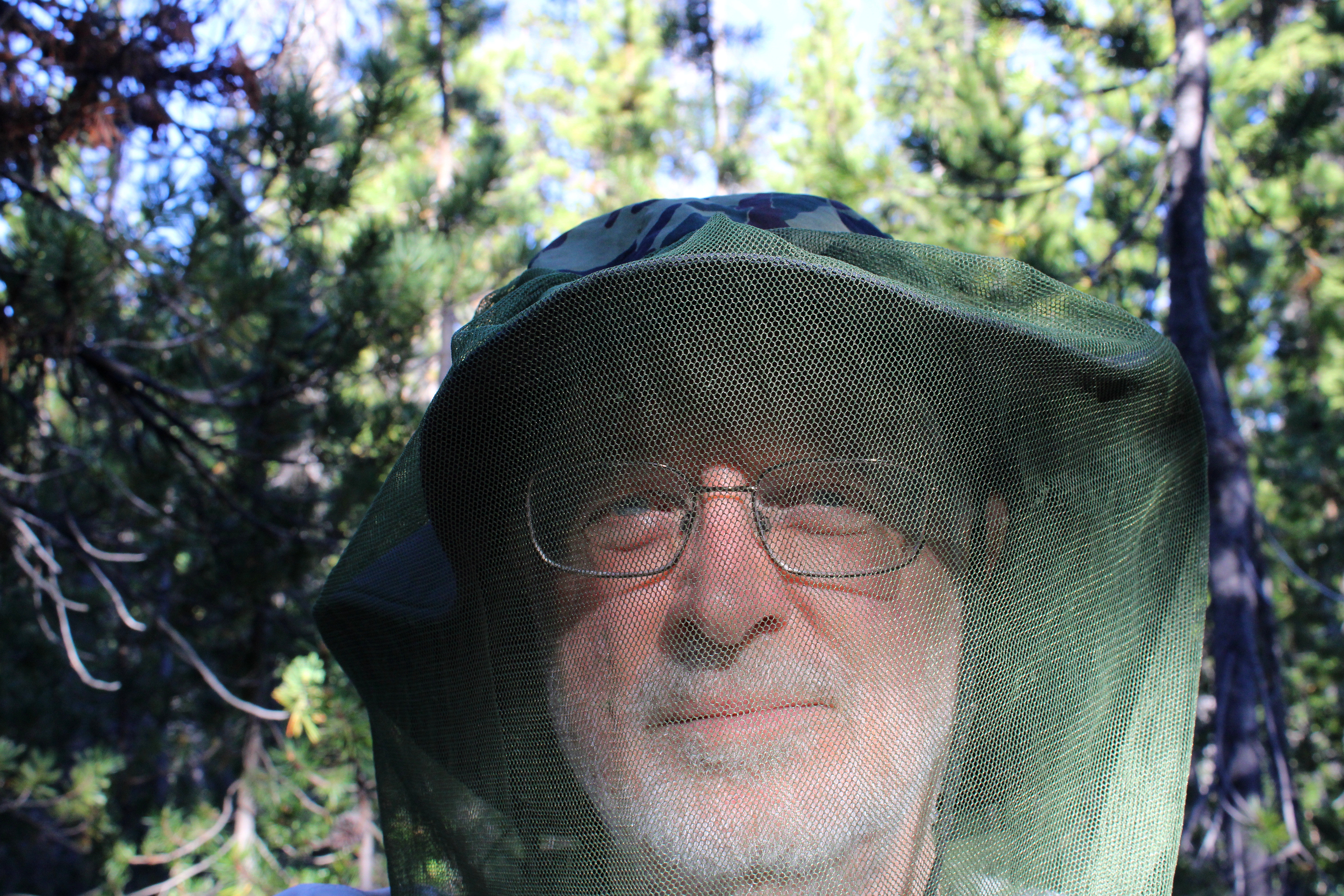
I had hiked here a week prior and already there were a few noticeable changes. There were no snowdrifts for one, the drifts being supplanted instead by thick clouds of ravenous mosquitoes. It had been a long time since I had felt the need to hike with a head net on but there I was, my handsome visage geekily swathed in netting in a desperate attempt to retain a modicum of blood for my own personal use.

Sunset at Nip and Tuck Lakes

Camp was set up on the narrow forested isthmus forever separating Nip and Tuck Lakes, and in between cooking, eating dinner, and fending off vast clouds of miniscule Dracula spawn, I explored the shore along both lakes. The sky was blue but trending towards sunset and small puffy white clouds moved across the sky overhead. Eventually, sunset arrived, turning the clouds pink, and then it was time to get inside the tent while the mosquitoes whined outside, thankfully stymied by the tent's mesh fabric.

Trees dead and live

Hiking all the way to Nip and Tuck Lakes had totally screwed up my logistics. Because I had hiked farther than intended, Oldenberg Lake was now under two miles away and Bingham Lakes were only two and a half miles away. Not a lot of walking would be required on Day 2, making for a long fun-filled day of mosquito and human interaction.

Day 2 was a dry and dusty affair

The Metolius-Windigo Trail is about one hundred miles in length, connecting the Mount Jefferson Wilderness to Windigo Pass. I'd be hiking on the MWT but locally, the trail was signed and mapped as the Oldenberg Lake Trail, which only made sense, seeing as how I was hiking to Oldenberg Lake itself. The dry and dusty trail got there via a short but rigorous stretch that went up and over a forested ridge, followed by a longer descent down to Oldenberg Lake. It'd be a steep climb on the return leg but hey, at least I had something to look forward to.

Oldenberg Lake

Oldenberg Lake is a popular stop for Pacific Crest Trail through-hikers hiking the MWT as an alternate route, for unlike the PCT, the MWT passes by many lakes and makes water replenishment easy and convenient. However, on this day I had the place to myself, not counting about two million mosquitoes, and I kicked back for a while, appreciating the calm lake under a blue sky. Off in the distance, the tip of Odell Butte was visible on the horizon, with its lookout affixed to the summit like the world's smallest party hat.

If you like dry lodgepole forests, then this is your hike

Between Oldenberg and Bingham Lakes, lay a dense forest of spindly lodgepole pines. I don't think there was any other plant species growing in the pumice-based soils that lodgepole thrives in. There weren't any mosquito-hunting species of fauna either, judging by the unimpeded hordes following my every move. Nothing here but lodgepole, mosquitoes, and one incredibly handsome backpacker with tasty blood.

One of the Bingham Lakes

Bingham Lakes is a collection of four or five medium sized lakes situated below and on the northeast side of Cowhorn Mountain. When I arrived at the first Bingham Lake, it was still early and before ten o'clock. It was already pretty warm for early morning, too. Rather than set up camp and swelter inside a hot tent while doing battle against a relentless airborne armada of insectile piranhas, I decided to turn my three-day hike into a two-day affair. So, it was an early lunch and then a turnaround to begin the hike out.

Back on the dry trail

So, back through the lodgepole trees I go, the trees providing some shade but not nearly enough on a warm day. The hiking rendered me into one sweaty dude in no time at all, and the resulting ungodly goo of sunscreen, Deet, perspiration, and trail dust rolled into my eyes, making me cry like a child whose cherished yellow balloon had suddenly and unexpectedly popped.
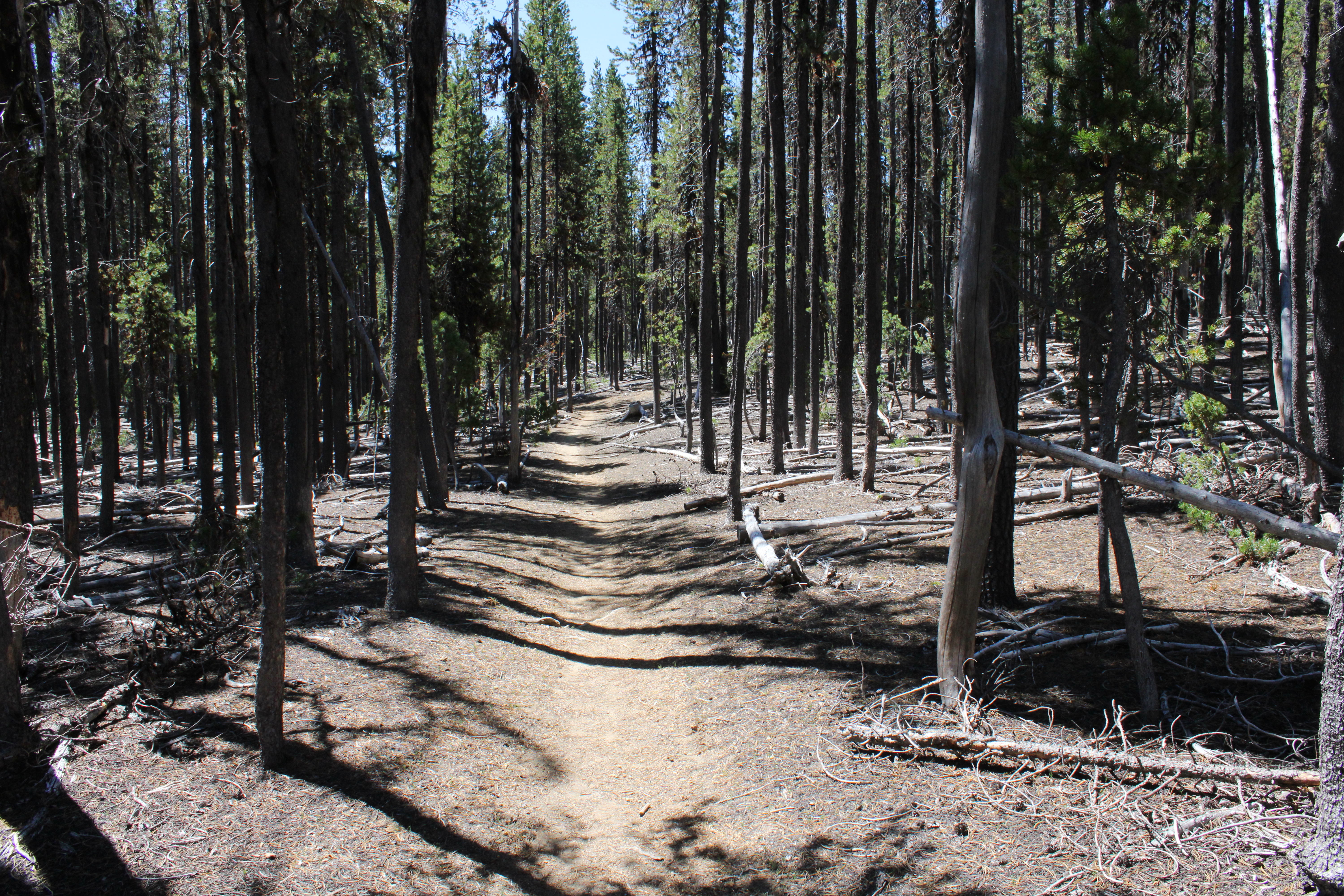
So many trees, so little shade

But hey, the really cool (sarcasm!) part was that the long descent I had come down on when approaching Oldenberg Lake, was now a long and protracted climb out of the lake's basin that had me feeling the "Old" in "Oldenberg". While I had felt pretty darn walky the day before, on this day I felt more like a jelly bean melting on a hot sidewalk. Let's just say I took a few more rest stops than normal before the trail crested and all that bad uphill stopped. The good news though, was that the amount of mosquitoes trying to eat me decreased in inverse proportion to the rising temperature.

That ridge had been our route to Cowhorn Mountain the day prior

The Oldenberg Lake Trail dropped steadily back into the same forested basin that contained Nip and Tuck Lakes. Periodically, I could see distant mountains and peaks like Black Butte and Cappy Mountain. Nearer to the trail, and way above, were the cliffs and crags of the same rocky ridge we had walked on the day before, when hiking to Cowhorn Mountain.

Brunch, anyone

Right before arriving at the MWT Trailhead, a startled bird flew up from the base of a tree growing right next to the trail. The bird was not particularly noteworthy but what got my attention is that I had seen the same bird not only on yesterday's hike, but on the prior week's hike as well. Sure enough, a quick search of the area revealed two eggs unceremoniously laying on the ground. I took off my pack, fired up my stove, and enjoyed a tasty omelet of wild eggs. Kidding! What I actually did do was take a quick photograph of the gray speckled eggs with apologies directed to Mama Bird anxiously watching me from a nearby branch.

Carpenter ant on a hike of its own

When I finally made it back to the Windigo Pass Trailhead, gone were the thundering hordes of aromatic through-hikers, but there was That One Brunette (her trail name, actually) taking a breather among the cache of water jugs at the trailhead. At this point I was feeling like my trail name could have been Nipped And Tucked but on the plus side, it had been just under a twenty-mile weekend for me.
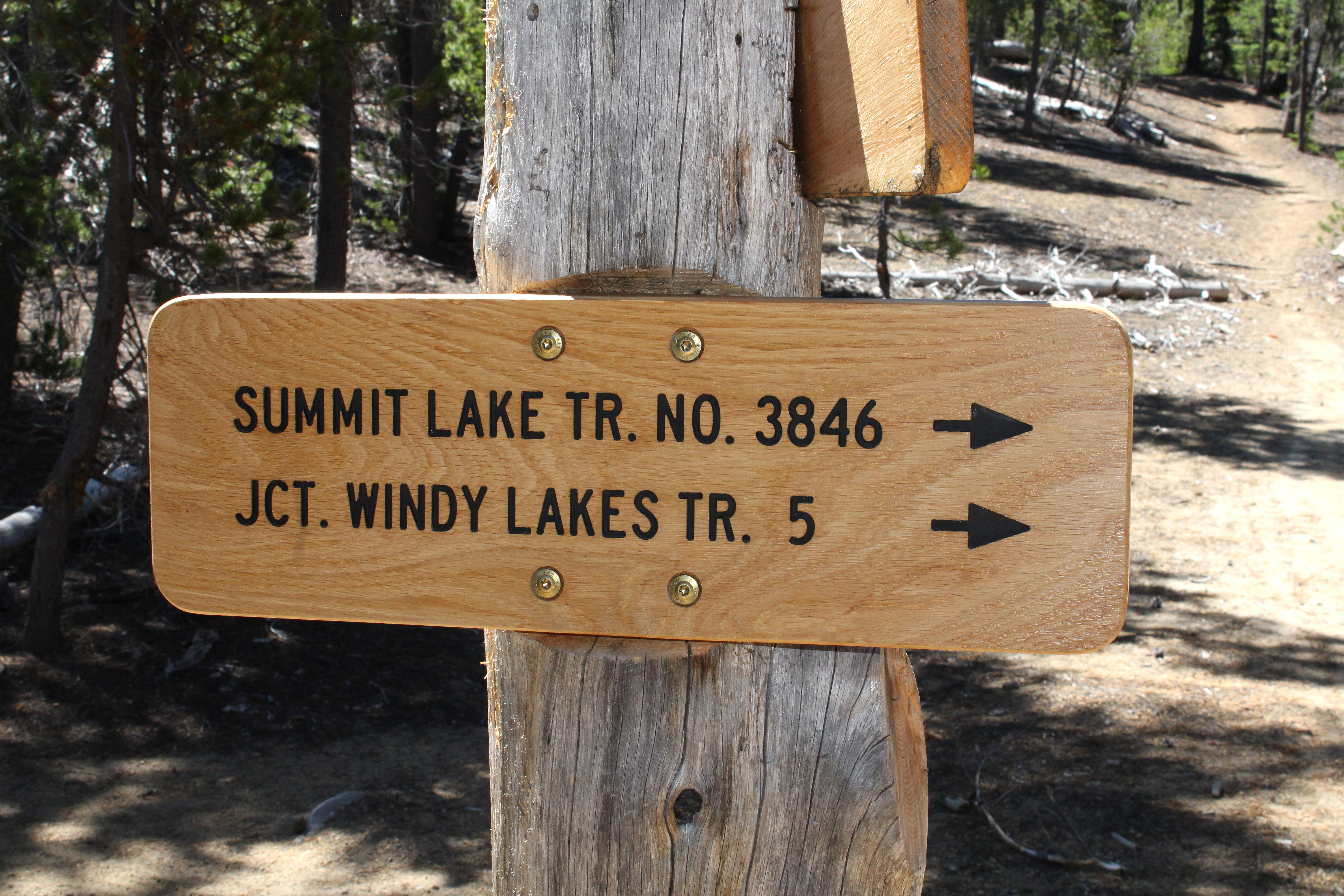
That way for a future hike

In retrospect, the hike was a bit short for three days. I'm already thinking about returning to do a loop hike in the area that would include Susan, Darlene, and the Windy Lakes with maybe a return via Summit Lake and the Pacific Crest Trail. That would bump up the mileage to a respectable 35 miles or so.

X marks the spot

On second thought, scratch that! Shortly after I completed this hike, a lightning-caused wildfire set up camp on Windigo Pass itself. Looking at the maps, the Windigo Fire came pretty close to the trailhead, as the fire burned on either side of Road 60. In response, the Forest Service closed the Pacific Crest trail from Crater Lake to Bend, along with half of the Diamond Peak Wilderness, and half of the Mount Thielsen Wilderness. Meanwhile, the mammoth Cedar Creek Fire has closed all of the Waldo Lake Wilderness. Looks like I'll be pretty much hiking in my living room these days.

Random skyline snippet along the trail

For more photos of this hike, please visit the Flickr album.

Saturday, July 9, 2022

Cowhorn Mountain


I've told this story before but I'm not above plagiarizing myself. Cowhorn Mountain got its name from a spire that used to be on the mountain and probably resembled a cow's horn. Unfortunately for us present-day hikers, the horn fell off in the early 1900s, knocked down in the middle of the night by a severe winter storm. It just goes to show that mountains, just like people, also become less horny as they get older. 

Move 'em out, head 'em up! Rawhide!

At least the modern-day trimmed-down version of Cowhorn Mountain is presumably easier to summit than it was in the early 1900s. And speaking of trimmed-down versions, Friends of the Umpqua was hosting a trek to the mountain's summit and we numbered a robust and eager eighteen hikers, but who's counting, besides the hike leader? As we laced up our boots, the Pacific Crest Trailhead at Windigo Pass was a busy place, not even counting our lively band of bovines.

The mountain is calling but do we really have to go?

From the Windigo Pass Trailhead, there is not a lot of water to be found along the trail until hikers reach Summit Lake about 13 miles away. However, a trail angel has adopted the Windigo Pass Trailhead and keeps it well stocked with jugs of water and accordingly, throngs of through-hikers were drinking at the trough, so to speak. The trailhead was quite the festive and high-spirited place that morning!

Gone was the snow around Windigo Lake

This hike took place only a week after my Nip and Tuck hike and I was somewhat disappointed to see the forest between the Pacific Crest Trail and Windigo Lakes to be snow free. It was like my rough bushwhack last week had never happened. What was happening now and not then, was that throngs of voracious mosquitoes were the travail du jour.

A forming thunderhead was cause for concern

The weather forecast called for possible thunder and because standing on top of a tall mountain is not a good idea in a thunderstorm, we kept a wary eye on the clouds forming over the crest we were hiking on. The clouds resembled baby thunderheads but never quite got to the point of hurling lightning bolts at stampeding hikers.

The PCT will be renamed "The Trail You Are Hiking On"

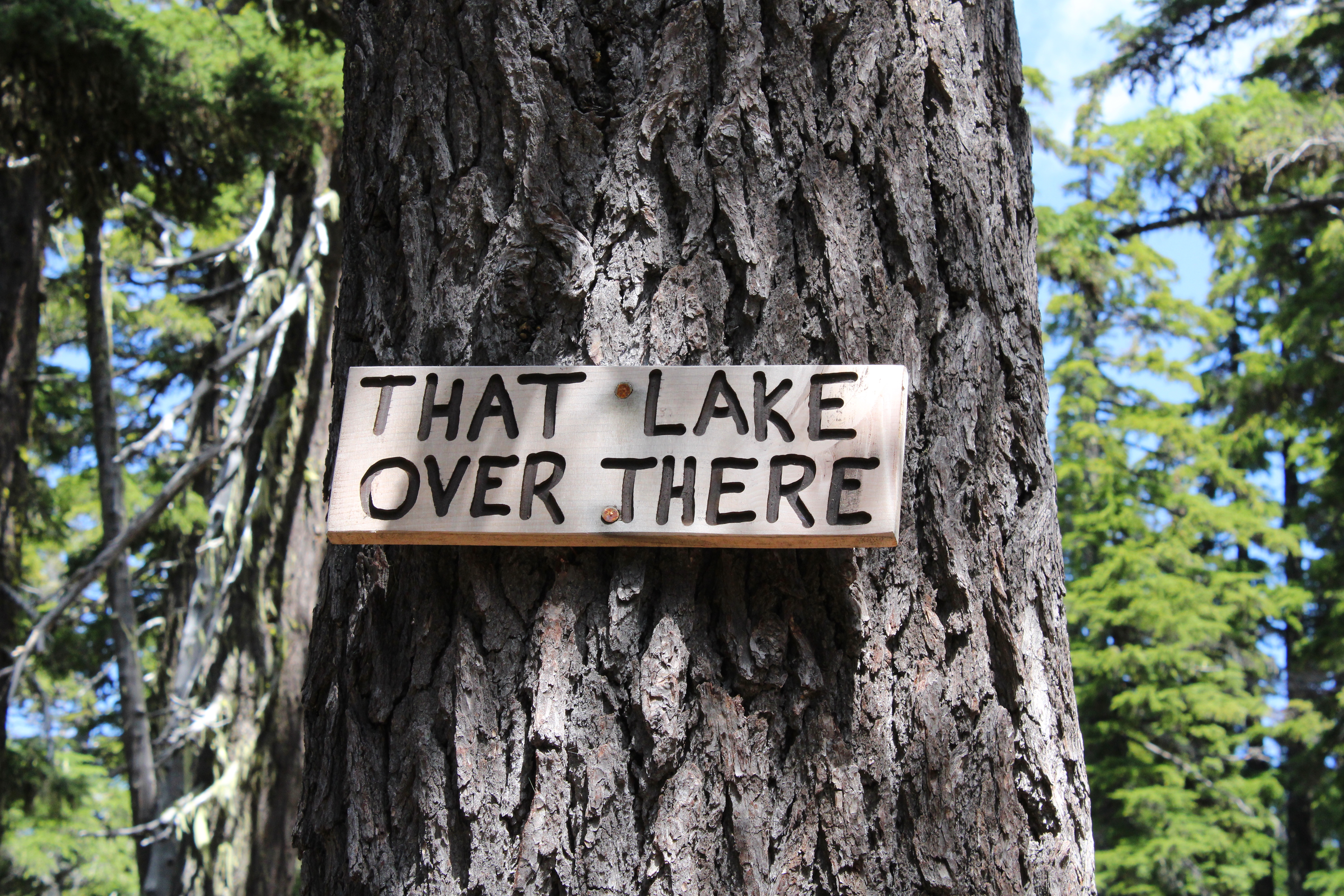
The Pacific Crest Trail heads uphill for about four miles at a steady grade. As we gained altitude, periodic openings in the forest allowed us to see distant Mounts Bailey and Thielsen to the south, and the Cappy Mountain complex east of the PCT and much closer to Windigo Pass. Below, in a forested basin, the twin jewels of Windigo Lakes reposed on a large blanket of forested terrain. And speaking of lakes, a stagnant pond that used to be an important water stop for through hikers before the advent of the Windigo Pass trail angel, had been signed by some wag as "That Lake Over There".

Snow was all over the higher reaches of this hike

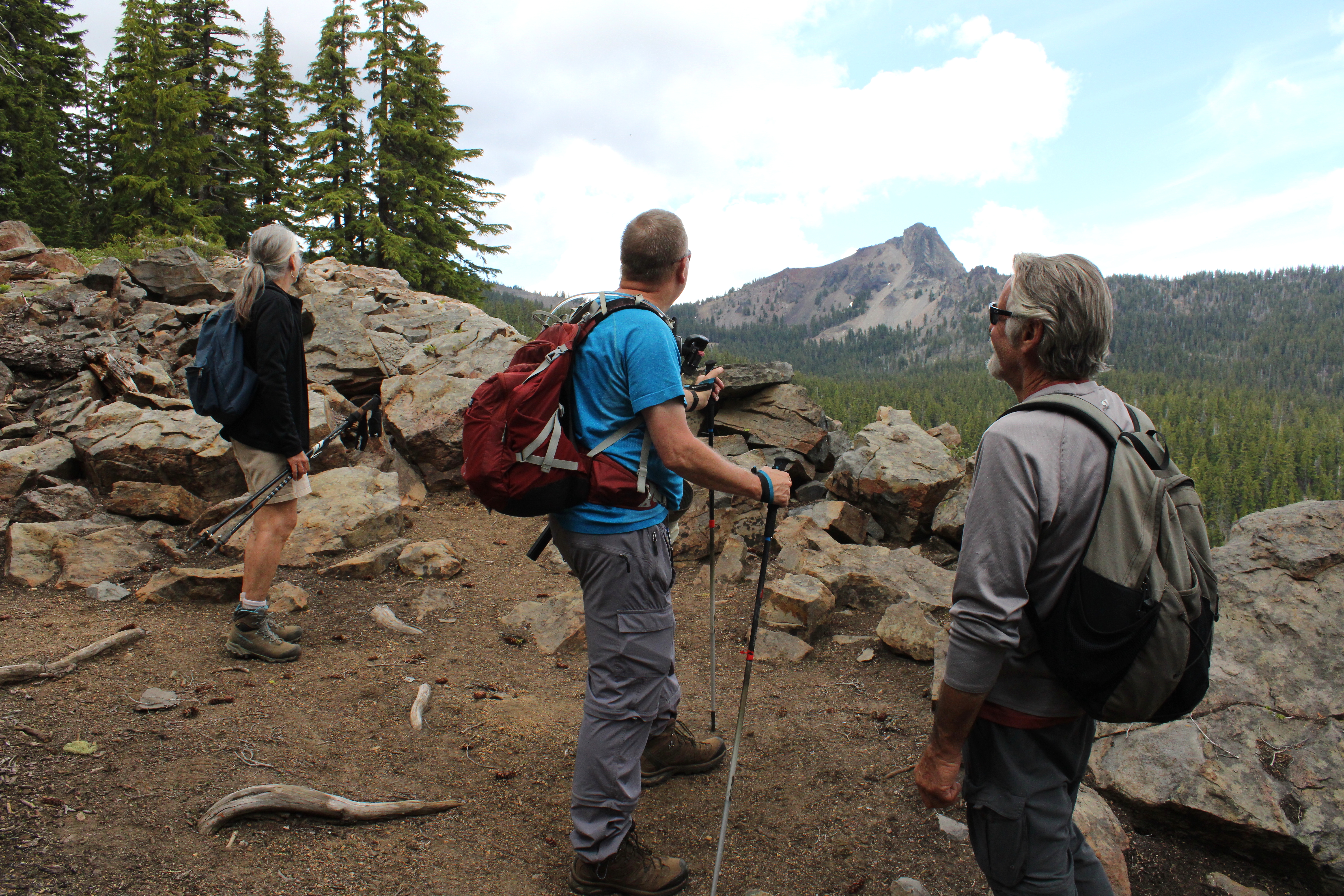
As the trail sashayed to and fro and undulated and up and down the forested ridge leading to Cowhorn, openings in the forest provided occasional peeks at the day's object of our desire. Always craggy and udderly foreboding, Cowhorn Mountain looked to be so much higher and farther than our current vantage point. One should never look ahead, it's always so de(moo)ralizing.

Penny picks her way through the snow drifts

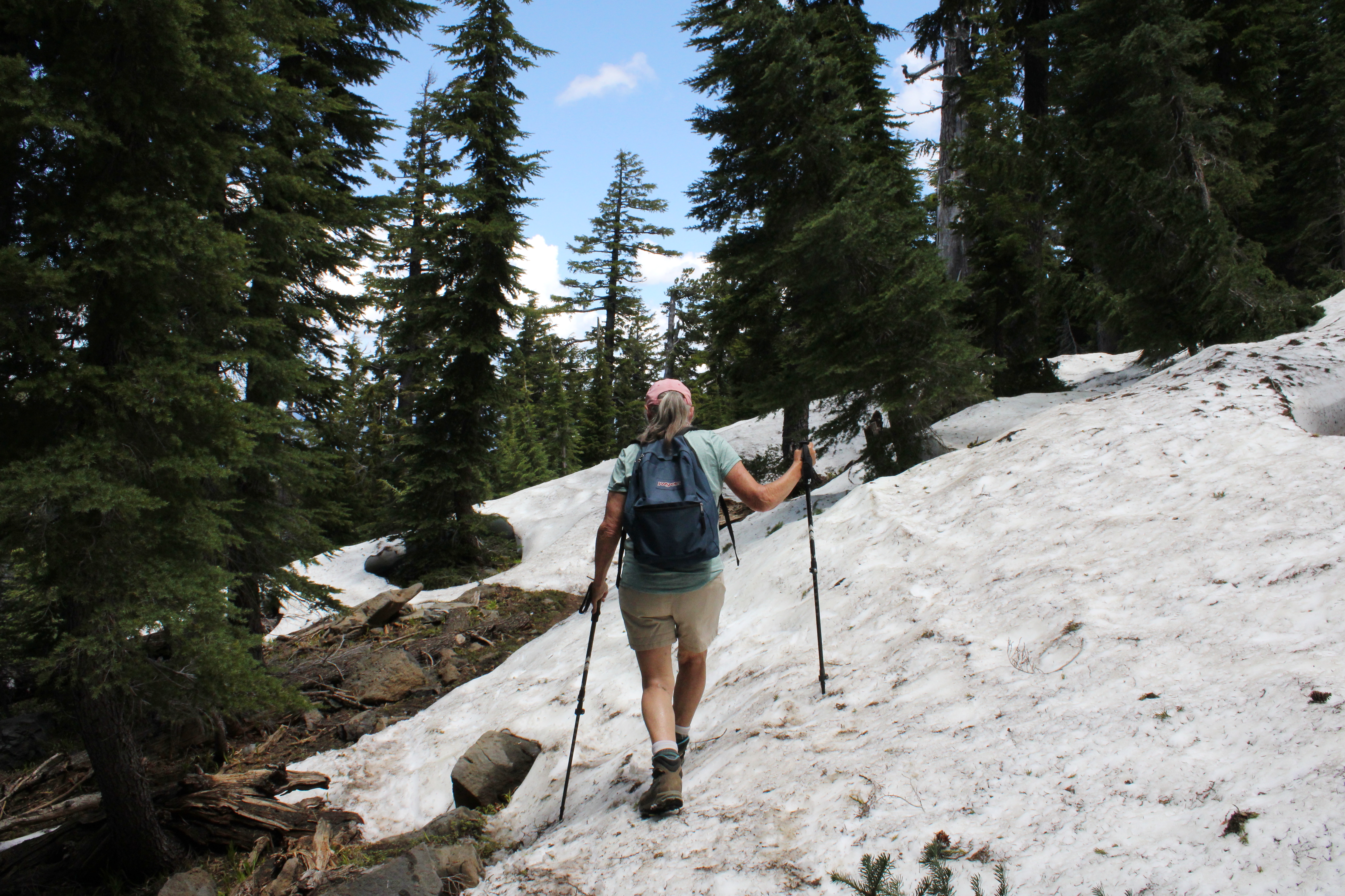
As we continued to gain altitude on the Pacific Crest Trail, snow became a thing and that's snow lie. The drifts were plentiful and deep enough to hide the trail from sight. Fortunately, this is through-hiker season and we just followed their hoof prints in the snow when uncertain. The melting snow was soft and we had to watch out for tree wells and hollow spaces to avoid sudden and unexpected posthole moments in the slushy snow

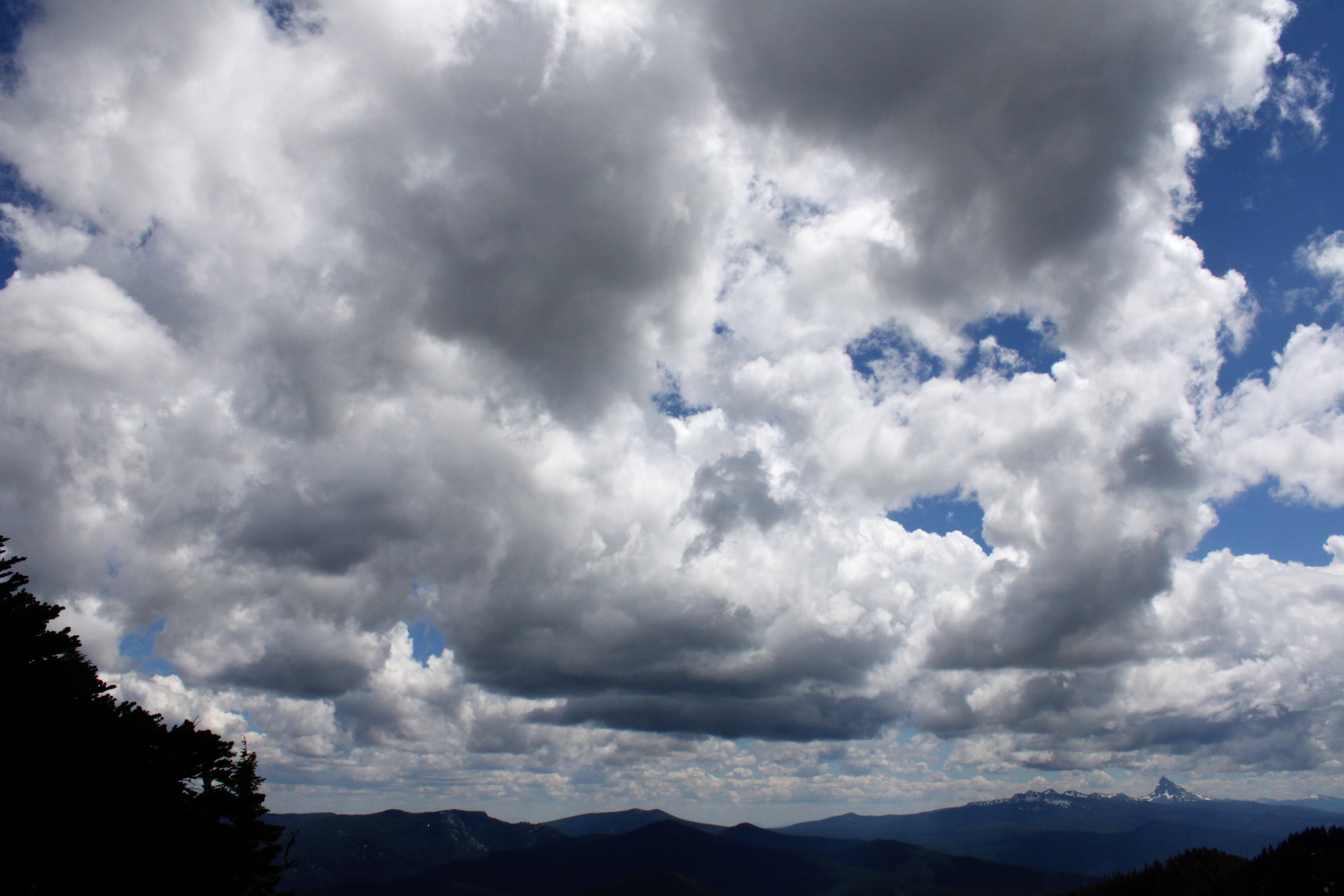
Clouds form and reform over the landscape

I was feeling so walky that I soon found myself in front of the herd, accompanied solely by Katelyn, who was our youngest hiker at age thirteen. I daresay that as fast as I hiked, she would have left me eating her snowflakes if she knew how to get to Cowhorn by herself, and that's no bull. But all that fast moo-ving along had a price for the diabetes impaired and I bonked right at the foot of the mountain. So, while most of my friends made hay and went up to the summit, some of us stayed behind to chew cud and admire the landscape and cloudscape surrounding the prominent peak of Cowhorn Mountain. And one of us ate the proper foods to reconstitute his low blood sugar, darn diabetes anyway.

Hikers carefully navigate their way down

It was all downhill naturally, once our thundering cattle herd disembarked from Cowhorn Mountain. There was some slipping and sliding on the snow drifts on the way down and I took the occasion to instruct the less experienced hikers how to safely kick-step through the snow. It was a perfunctory four-mile hike through thick forest, thick clouds of mosquitoes, and thick throngs of through-hikers before we arrived in good order at Windigo Pass, fully sated with the day's undertaking.

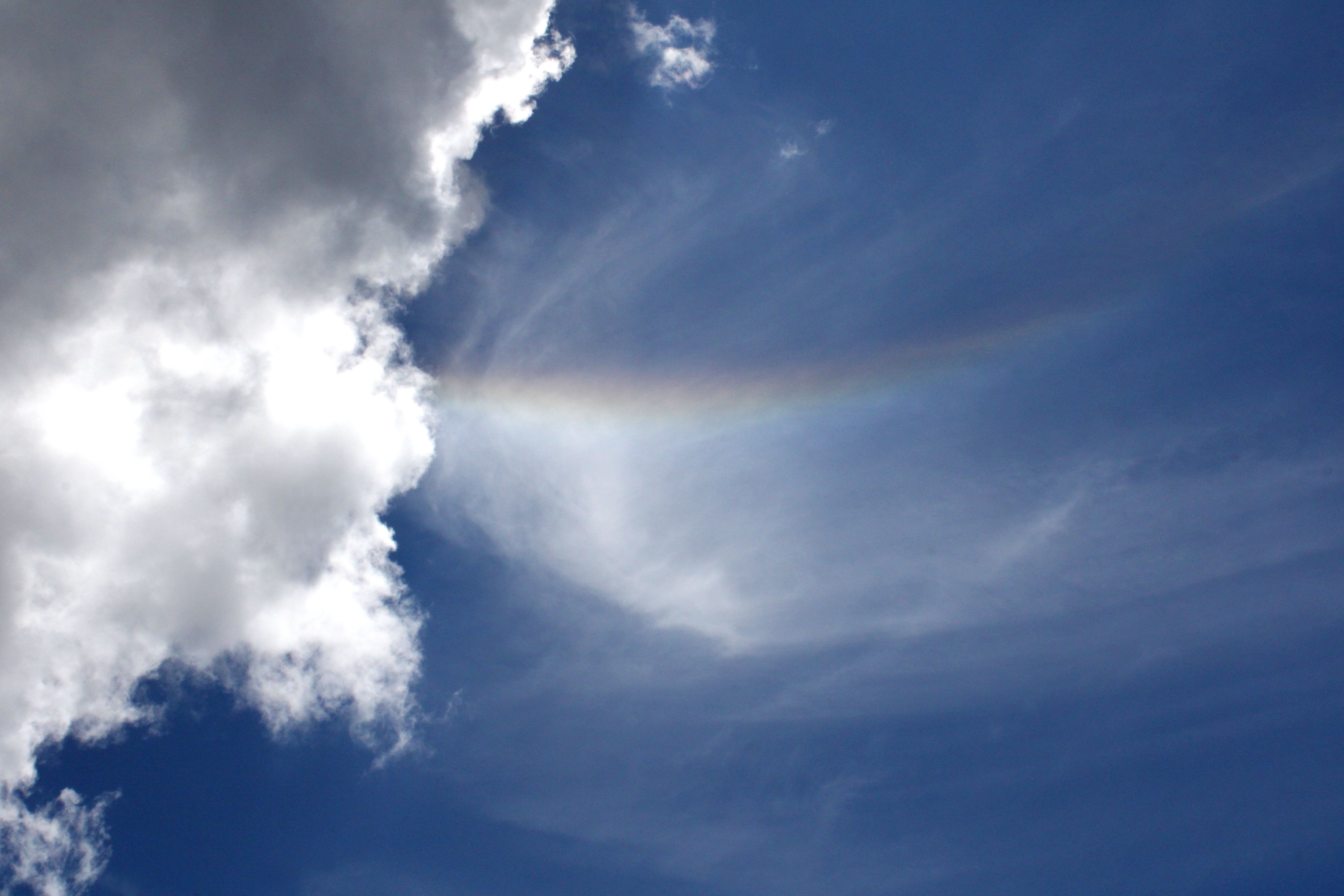
Rainbow in the sky

Well some of us were fully sated, while at least one of us apparently required some more adventure and exercise. Yup, I divested myself of my daypack and hoisted my backpack onto my shoulders, ready for a hike down into the Nip and Tuck Lakes area. Hay, I was back to feeling walky again and head me out and move me up. Rawhide!

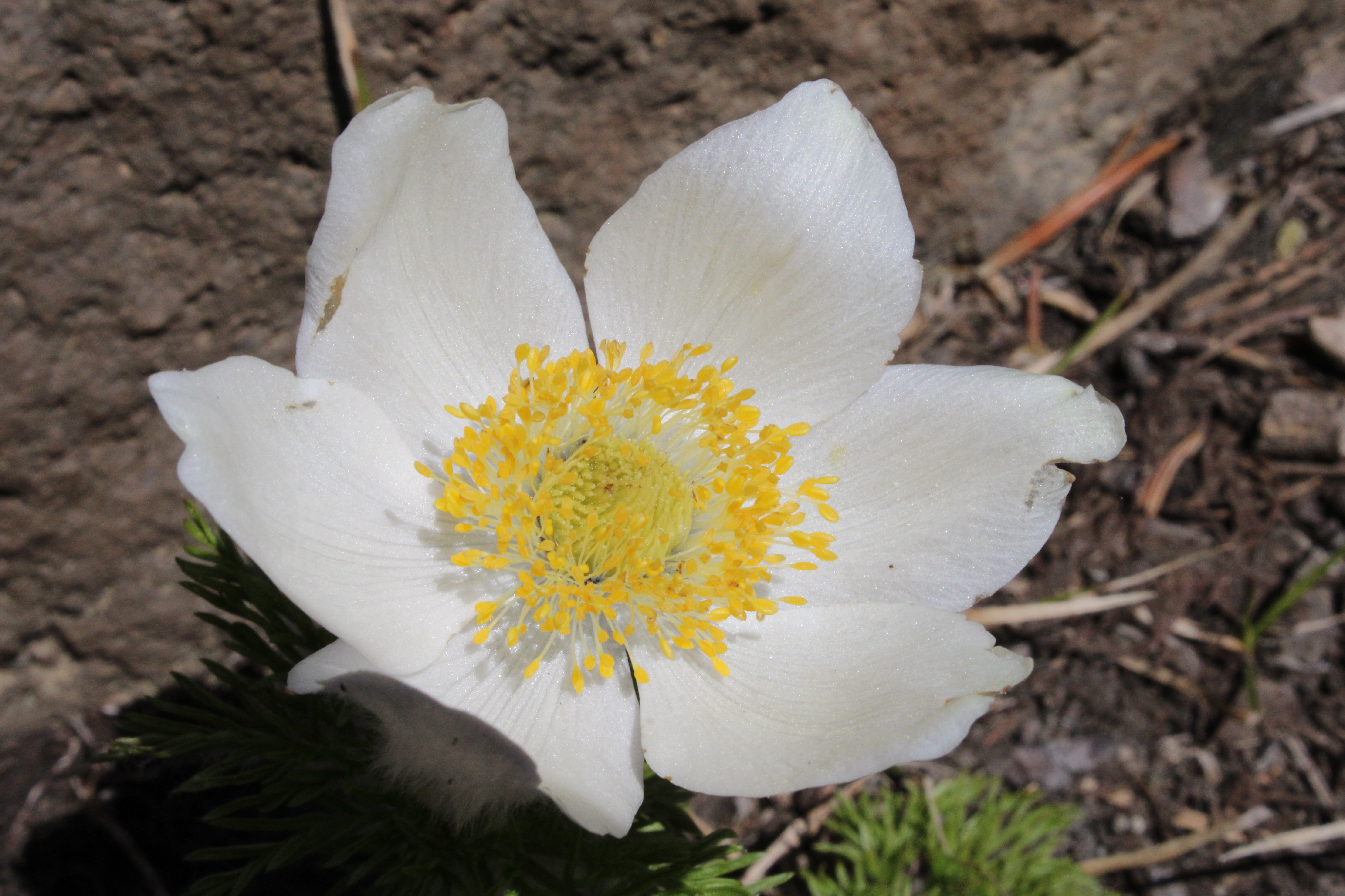
Pasque flower adorned the rock gardens near the summit

For more photos of this hike, please visit the Flickr album.

Friday, June 23, 2017

Clear Lake

"Now, let me make one thing perfectly clear..." I may be dating myself by quoting Richard Nixon but the irony is that Richard Nixon's downfall was that he did not make things perfectly clear when he should have. But, if there is one thing perfectly clear in this world, it is Clear Lake. The lake is fed by an underground river that is filtered by miles and miles of porous lava, leaving the lake's waters clearer, purer, and more pristine than any presidential cover-up could ever hope to be.

Warm, but not yet hot
This was late June and it was hot, but not as hot as it was going to get in a few days hence. The temperature topped out somewhere in the high 90's which is plenty warm when exercising under a blazing sun. However, on the west side of Clear Lake, the trail was wonderfully shaded by tall trees, warding off some of that high-90's heat.

Columbia windflower was a common sight
I'm also glad to report the mosquitoes were virtually non-existent. We had more snowfall than normal this last winter; I've been expecting an onslaught of insectile vampiritude with the advent of melting snow. Spring was in full song, what with the forest carpeted with Columbia windflower, lupine, huckleberry. and queen's cup all abloom. Both Fish Lake Creek and Ikenick Creek were flowing fast and clear with spring runoff, and the forest was filled with the musical tinkling of the streams. So, with spring going at it the way it was, I'm not sure why no mosquitoes but hey, I'll take it. 

What, you were expecting a bikini photo?
Other hikers were out and about, too, I ran into one young lady hiking in a bikini. Because I looked into her eyes the entire time I chatted with her, I didn't really notice the bikini was a Pink Mink product manufactured in Bangladesh, with orange, white, and yellow polka dots on a brown background;, and also sporting a white frill edged in red and brown stripes with little yellow daisies having green centers in between the stripes. I also ran into a guy hiking barefoot, he said he just felt more comfortable hiking shoeless. Yikes. Later in the hike, I would run into him in the middle of the jagged lava fields, as we had each hiked around the lake in opposite directions. The slacker had his shoes on too, apparently hiking barefoot through sharp and jagged rocks is not all that comfortable.

Fish Lake Creek
The basic loop around Clear Lake is fairly short, being just over 5 miles long. So, for some extra mileage, at Fish Lake Creek I made a left turn onto the McKenzie River Trail with the intent of hiking a couple of miles to Fish Lake. This section of the McKenzie River Trail was a pleasant amble through lovely shaded forest with the rushing creek always heard and occasionally seen just off trail.

Just gotta love those vine maples
And now a word about the vine maples. The ubiquitous vine maples were all leafed out and a virtual galaxy of seven-pointed leaves were lit up by the sun while I enjoyed the deep shade underneath. The trail had that green illumination from the light of a million little green stars and my progress was slow as I obsessively photographed the glowing canopy.  

Just a gorgeous day for a hike


A short mile of hiking brought me to the Upper McKenzie River Trailhead and I walked down a gravel road to the McKenzie Highway. My planned (if you can call it that!) route to Fish Lake required a cross-country bushwhack from the highway. However, the harsh reality was that I was confronted with a rushing creek, thick brush, and water in a standing marsh; all between me and hidden Fish Lake. Just call me defeated; it was back to the trailhead for me.

Swimming hole on Fish Lake Creek
The McKenzie River Trail officially begins at the upper trailhead and the iconic trail is famed as a mountain bike ride. Accordingly, there was a group of bikers lazing in the shade, eating lunch and chatting animatedly. My ears perked up, because they were speaking my other native language. Turned out they were from Guanajuato, Mexico and were on a mountain biking vacation in the Pacific Northwest. 

First clear look at Clear Lake
At the north end of Clear Lake, the lake finally made an appearance and the tips of Belknap Crater, the Three Sisters, and Mount Washington all made brief cameo appearances over the far end of the lake. Clear Lake is the source of the McKenzie River, which comes up out of the ground, fully formed, at the Great Spring. Filtered by porous lava soils, the water is as pure and as clear as Richard Nixon was not. The water also comes up a uniform 36 degrees all year so the lake never freezes over during winter.

"Let me make one thing perfectly clear..."
The Great Spring would be cool enough as simply being the source of the McKenzie River, but oh, that blue color! The spring, besides being remarkably clear, is a deep sapphire hue, probably in relation to both the purity and the minerals from the lava soil. Clear Lake inherits the clarity of the spring and I daresay you could drop a dime in the middle of the lake and be able to tell whether it comes up heads or tails on the bottom of the lake.

Clear Lake, perfectly clear
Now on the east side of the lake, it was time to say goodbye to the cool shade and experience the heat that can only be experienced when hiking on a hot day in acres of black lava rock. These lava flows emanate from Mount Washington and the sunlight ricocheting on all the dark rock made it feel like it was 150 degrees. On the plus side, great views of the lake were to be had as there was no forest to get in the way.

King of Clear Lake
There was a tall snag with ghostly fingers reaching up to the blue sky; it seemed photogenic so I pointed the camera at it. But wait a minute, what is that thing on top that I was looking at through the viewfinder? It was a bald eagle, looking all regal like he was the self-proclaimed King of Clear Lake. It's always a thrill to see one of these magnificent creatures in the wild, and I had no one to share the experience with. But at that moment, a hiking couple came up the trail and I pantomimed "shhh..." and then pointed up to the tree. They saw the eagle and made silent hand-claps in my direction, that was my good deed for the day.

Where Clear Lake ends and the McKenzie River starts
Just as I was really beginning to hate the hot sun, the trail dropped back into the forest and rounded the south end of Clear Lake. A stout footbridge crossed over the lake's outlet, also known as the McKenzie River. It was amazing to watch the water flow of the river and realize that same flow (plus a creek or two) came from the Great Spring.

CCC Shelter at the trailhead
By now, it was late afternoon, and the sun slanted through the trees while the shadows lengthened. And best of all, the temperature was dropping, making the hiking eminently pleasant. Arrival at the rustic CCC shelter, now a picnic area, wrapped up this hike which wound up being mostly a pleasant heat-beater on warm sunny day.

The trail sliced through all the greenery
In closing, Richard Nixon once said "Let me make one thing perfectly clear..." Now, he could very well have been referring to Clear Lake but the full quote is "Let me make one thing perfectly clear, I wouldn't want to wake up next to a lady pipefitter". Way harsh, and in defense of all my lady pipefitter friends, Nixon wasn't a very nice man and the truth of that little factoid is as clear as the clear waters of Clear Lake.

I only took several thousand vine maple photographs
For more pictures of this hike, please visit the Flickr album.