Showing posts with label trail. Show all posts

Saturday, September 17, 2022

Fish Lake


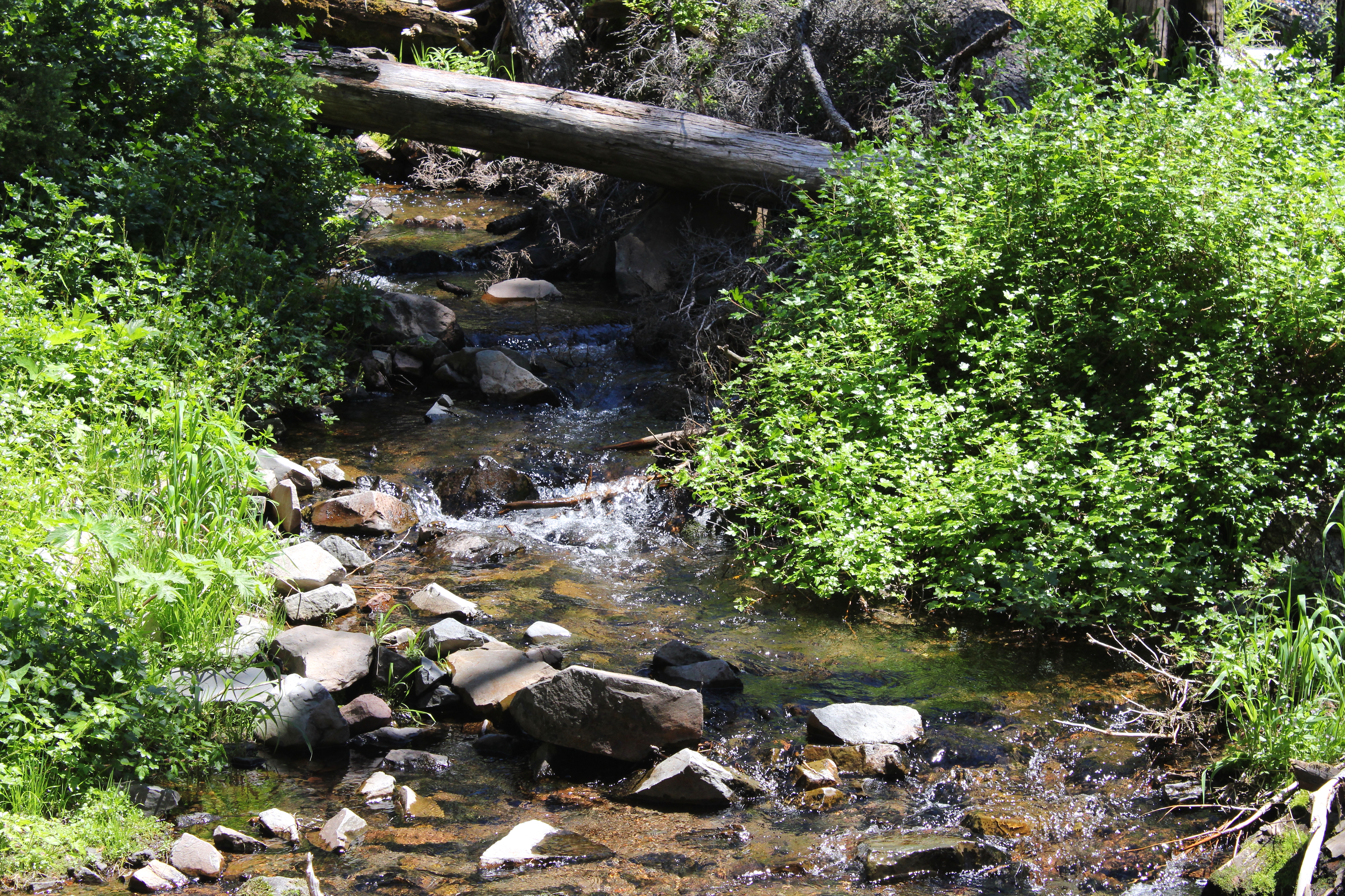
Back in 2004, I first hiked along Fish Lake Creek to Fish Lake via the Fish Lake Trail. It had been two years after the Tiller Complex Fire(s) had swept through the area, completely immolating the forest all along the trail, leaving behind an obstacle course of blackened and fallen trees to hike over, under, and around. For me, it has always been interesting to come hike here and observe the forest gradually heal itself after the fire.

Site of the 2002 Tiller Complex Fire

I'm not sure what happened to the piles of trees laying on the trail in 2004, for there is very little sign of the fire damage from twenty years ago. Presumably, they decomposed into the earth, but sheesh, there was about two solid miles of them! At any rate, the only tangible sign of the 2002 fire is a stand of dead trees high on a ridge, bleached by the sun, with new starts taking root beneath the bones of their still standing (but very dead) ancestors. 

Working our way over a woodpile

And speaking of ancient denizens of the forest, the Friends of the Umpqua hiked to Fish Lake on a late summer day. There had been subsequent fires in the area since the 2002 burn and we still had to negotiate our way past individual fallen trees and one rather large and formidable collection of them numbering maybe a dozen. Depending on the preference of individual hikers, we either scrambled over or bushwhacked around. Either way, it was work and tedium.

Queen Anne's Lace zealously
hoards this year's crop of seeds

It was technically summer but not for long. On the day of the hike, the temperature was autumnally cool and the sky overcast, in a clear harbinger of the coming fall season. Thimbleberry leaves were already turning yellow while dried seed heads of Queen Anne's lace were knotted up like so many bony arthritic fists. But it was poison oak that was all in for autumn, their bright red leaves serving as a warning flag to bare-legged hikers hiking in shorts.

The worms are gone but their tents remain

Another sign of autumn were the webby tents of fall webworms, a caterpillar that en masse, defoliates madrone trees and creates web nests on the branches for protection. The caterpillars had already left the nests to pupate but their webs remained on leafless madrone branches for hikers to look at and poke. An odd little factoid is that the caterpillars are social eaters, leaving the nest during the day to forage together in creepy-crawly companionship. Often seen heading to higher branches in large groups, they literally are true social climbers, minus the traits of overtly obsequious sycophants we all know and don't love.

Mike checks out the tall cliff

The trail initially followed Fish Lake Creek but about a mile into the hike, the path peeled away from the stream and headed uphill, inscribing a route around the headwaters of an unnamed side creek. Points of interest along the way were a massive cliff looming over the trail, the aforementioned dead forest from the 2002 fire, and an overlook of Fish Lake Creek's impressive canyon.

Beaver Swamp

Beaver Swamp is a marshy little pond that the trail fishhooks around. Often, turtles are spotted sunning themselves on mossy logs, but not on this overcast day. The waters were quiet, seemingly devoid of animal life, although there were game paths visible in the marsh grasses surrounding the swamp. The picturesque quality of the bucolic marsh almost made us forget we were hiking uphill as we hiked up and around.

Trail through a forest not yet touched by fire

The trail quickly climbed away from Beaver Swamp and entered a forest that was notable because it was the first forest on the day that had not yet been touched by fire, knock on live wood. The undergrowth was vibrant and moss covered most inanimate objects, present company excepted. The trees sported leaves and needles and it was almost jarring to see so much green color and hue after spending several miles and hours in burn zones old and new.

The tip of Highrock Mountain looms from up on high

The reason you slog uphill for four miles is Fish Lake itself. Ringed by mountains and forest, the large alpine lake is a most worthy destination. The massive wall of Rocky Rim, a meritorious hike in its own right, loomed at the other end of the lake. However, craggy Highrock Mountain commanded our attention, lording over the scene like a king's castle proudly surveying its domain. We were but mere vassals in the presence of such majesty, although we stopped just short of groveling at the mountain's feet.

Fish Lake, seen from the wrong side of its outlet

Missy had heard about a really cool campsite on the other side of the Fish Lake's outlet, so we walked across on the logs piled up at the creek's egress from the lake. And speaking of which, Fish Lake is the source of Fish Lake Creek and what were the odds of that amazing coincidence ever happening? At any rate, we did not find a really cool campsite but were nonetheless rewarded with a magnificent view of the lake reposing beneath its mountain friends and neighbors.

A gift for the birthday girl

At Fish Lake, while we lunched, we did engage in a bit of hijinkery. It was Missy's birthday and we all donned tin-foil cone hats and sang "Happy Birthday" before doing the four-mile downhill hike to the trailhead. At the trailhead, I caught a baby western racer snake and offered it to Missy as a birthday present. She politely declined, the snake crapped my hand, and those two things may be related.
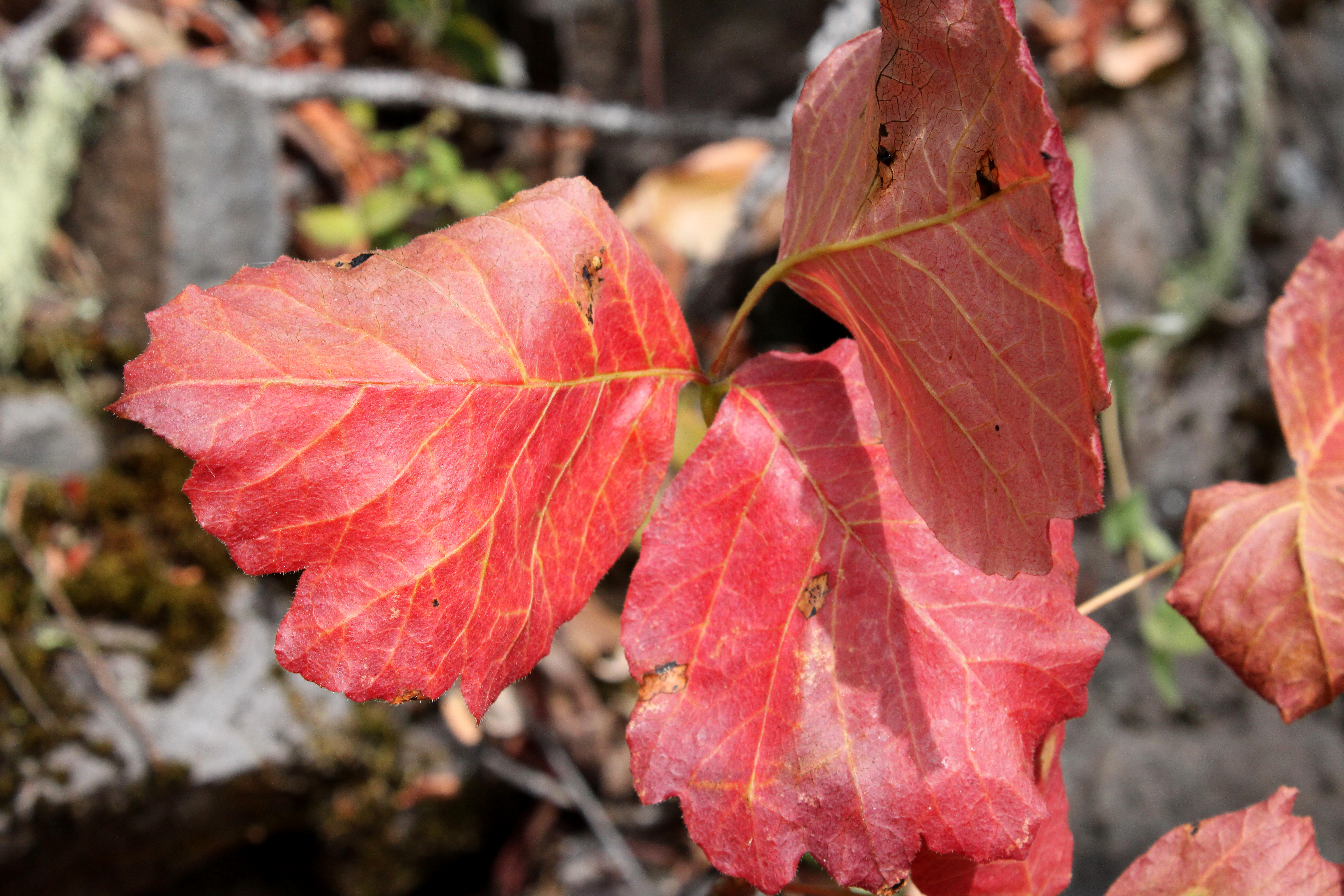
Poison oak was easy to spot with its red leaves

For more photos of this hike, please visit the Flickr album.

Wednesday, July 20, 2022

Stuart Falls


In 2017, the Blanket Fire burned around 5,000 acres of the southwest corner of Crater Lake National Park, along with a much larger tract of the Rogue River National Forest. Flash forward five years and the area is well on its way to recovery and is beautiful in its own stark way. However, the lack of viable forest meant that much of our thirteen-mile hike to Stuart Falls was done in open sunlight, which can get pretty warm in this summer of global warming. And surprise of surprises, the heat got to me.

"But Richard said this hike was easy!"

There is a shorter route to Stuart Falls that approaches from the west but I'm not sure if that trail or trailhead is open, given the fire that wreaked so much havoc in the area in 2017. Besides which, there's so much more glory to be gained by hiking the thirteen mile route beginning from Crater Lake National Park. I enticed Cleve, Terry, Edwin, and Missy to come along by telling them it was only ten miles long and it was all downhill, purposely omitting the part about having to walk uphill in the hot sun on the way back.

The Pumice Flat Trail was flat and full of pumice

We started out on the Pumice Flat Trail, which basically follows an old roadbed through some relatively thin forest. In keeping with its name though, the one overriding feature of the Pumice Flat Trail is that it is virtually flat for three miles in what is a rather utilitarian route to the Pacific Crest Trail.

Typical forest scene on the Stuart Falls Trail

We'd only be on the PCT for a hiker's minute though, as we'd peel off onto the Stuart Falls Trail and basically commence the real hike. Here, the PCT runs along a ridge perched above the headwaters of Red Blanket Creek and the Stuart Falls Trail would then drop us several miles down into the creek’s canyon. The fire damage was readily apparent as the Stuart Falls Trail was surrounded by a vast expanse of dead trees.

Paintbrush livened up the rock gardens

Despite the death and destruction surrounding the faint (at times) trail, the hike was eminently beautiful. Green grass, fireweed, and bracken fern carpeted the ground beneath the tree skeletons in vegetative homage to the increased post-fire sunlight. Rocky outcroppings cropped up above the trail, and rock gardens abounded. Stuffed into cracks between individual boulders were stonecrop, blooming pale yellow; and paintbrush with its eye-scalding bright red color. 

If the trees were living, we wouldn't be
able to see Tom and Jerry Mountain(s)

I'm beginning to sound like an advocate of burn areas as I continue to extol the virtues thereof, and one of those virtues was increased visibility due to the dearth of live trees. Readily visible, the nearest peak to us was the symmetrical volcanic cone of Goose Egg. There was a complex of more rugged peaks to the west that were Tom and Jerry Mountain, located in the Seven Lakes area. And let us not forget the disturbingly-named Bald Peak looming on the north side of Red Blanket Creek's canyon.

Sketchy trail, to put it mildly

Because of the abundance of meadows and flourishing vegetation, the trail was overgrown and very sketchy, to state it charitably. But while it was challenging to stay on course, it never got to the point where the tread completely disappeared. More concerning was the continual loss of elevation as we hiked. It was nice to hike downhill but we all knew that an arduous hike back up to the PCT awaited us on the return leg. 

Stuart Falls was simply beautiful

Finally, we arrived at a backpacking campsite next to Red Blanket Creek. And just upstream was Stuart Falls itself, delicately fanning white across a cliff comprised of dark black rock. Much oohing and aahing took place and we all scrambled upstream to the base of the falls, happy to bask in the cool mist emanating from the cascade.

All those trees and no shade

After a lengthy lunch and general all-around gawkery at the picturesque waterfall, it was time to begin the slog back up to the PCT. By now the day had warmed up considerably and with no shade to shelter us from the sun, the hiking became as scorching as an illicit affair. I noticed that my legs felt tired and my mouth was as dry as the dust my listless feet were kicking up, no matter how much water I drank. My real cause for worry came when the dry heaves started. The struggle was real but I hiked piecemeal, making frequent stops along the way. So not fun.

Life flourishes at the feet of dead trees

I was so glad to reach the PCT, for it would be flat and slightly downhill to the trailhead. Even though the forest surrounding the trail was thin and sparse, faint shade is better than no shade at all, like in the tree graveyard within Red Blanket Creek's canyon. The hike was closed out in the lengthening afternoon shadows and despite the travails of the heat, I really did enjoy the beauty of the scenery I had been retching in.

Typical scenery along the trail

At the trailhead, Missy doled out seltzer water from an ice chest she had hidden in her car. My recovery was immediate and total upon drinking the precious liquid, although I think we would have all been better served if she would have toted the ice chest down to Stuart Falls.

Red Blanket Creek, below Stuart Falls

For more photos of this hike, please visit the Flickr album.

Thursday, July 14, 2022

Iron Mountain

Who knew Iron Mountain was such an amazing wildflower hike? The short answer is everyone but me, but that's not entirely accurate, either. I had heard rumors about the wildflower display on Cone Peak and Iron Mountain but had only ever gone on this hike either in winter or late autumn. During those two seasons, any vegetation capable of decorating the two peaks were either all dried up and shriveled like a mummified ancestor, or buried under a layer of snow like a mummified Eskimo ancestor. So, it was high time to make a July sortie out to the Tombstone Pass area and have a look-see.

The trail slices through some of
that Tombstone Prairie greenery

Accompanied by trusty side-kick Missy, I set out on the Santiam Wagon Road which immediately dropped down into Tombstone Prairie. Here, the verdant meadows of the prairie reposed in the valley laying between Cone Peak and Browder Ridge. Rampant greenery flourished under a deep blue sky and already we were off to a fine start.

Columbia tiger lily, always elegant and eye-catching

After an appreciative gawk-stop at the green prairie, we grabbed the Cone Peak Trail and began heading uphill in earnest. At least the hiking was done in a beautifully shaded forest which gave rise to more greenery and a different cast of wildflowers to admire, causing us to almost forget we were walking uphill. The forest floor was strewn with queen's cup, Sitka valerian, Columbia windflower, and other white-colored flowers. Representing the non-white end of the color spectrum were peavine, Columbia tiger lily, woodland penstemon, and a small reef of Merten's coralroot

Golden yarrow, one of the brightest flowers around

Maybe it was a pre-existing condition, but our opinion was that the flowers in the forest were pretty spectacular. Nothing could ever top this. Oh, we were naive then, so early on in our hike. After a mile or two of steady uphill walking, the trail began to break out into intermittent rock gardens with golden yarrow, rock penstemon, and stonecrop stuffed into the cracks between rocks. Nearby, bloomed single specimens of dark purple larkspur, hinting at the larkspur show in our near future.

The larkspur hordes

One larkspur is elegantly beautiful but multiply that by a factor of 4.7 googols and you have the Cone Peak experience in summation. The trail passed through open areas with massive armies of larkspur marching forward to champion the cause of all things purple. Interspersed among the larkspur hordes were occasional specimens of white larkspur, something I had never seen before. The purple meadows were simply amazing and beyond words, although it seems I've managed to come up with a few.

Cone Peak looms above its wildflower gardens

Eventually the path made its way into the pumice barrens below Cone Peak, although they were not as barren as I have seen them in winter. A veritable rainbow of colored petals resided at the end of various flower stalks, splotching the slopes of Cone Peak with color, like a geologic paint palette. All hiking came to a screeching halt as we perused and/or photographed the fields of flowers.

South Peak rises next to Cone Peak

Even without the wildflowers, the loop hike around Cone Peak and Iron Mountain is pretty cool. Views of nearby peaks abound and to the east of Cone Peak, rise South Peak, Echo Mountain, and North Peak, seemingly placed there just for hikers to admire. Apparently, the colorful flower displays are not limited to just Cone Peak, for the other mountains sported large swaths of yellow on their shoulders, to go along with their green meadows.

Missy leads the charge up Iron Mountain

After several miles of mouths-agape hiking through the scenery and wildflowers, we rounded Iron Mountain by hiking through a shady forest of mossy fir trees before intersecting with the Iron Mountain Trail. Yup, it was time to hike up Iron Mountain itself, and this trail definitely put the "up" in "yup"

Dizzying view from the trail

Back and forth and always up, the switchbacking trail went to and fro through the ever ubiquitous meadows and wildflowers, affording me the opportunity to gawk or rest, depending on who you listen to. Iron Mountain is a rugged beast, and accordingly, we hiked past a series of rocky outcroppings, jagged cliffs, and one lone arch. The elevation gained served up ever increasing views of the surrounding river valleys and mountains.

Mount Jefferson was like a ghostly pimple

There is a wooden observation deck on the Iron Mountain summit and a 360 degree panorama that allowed us to play the Name-That-Peak game, although a nearby signboard inspired some of us to cheat. Beginning with Diamond Peak to the south, the Cascades stretched north in a successive chain of volcanoes, the taller ones being snowcapped. The Three Sisters, Mount Washington, and Belknap Crater all loomed on the near eastern skyline, but it was snowy Mount Jefferson looming over Scar Mountain that commanded the most attention. Further to the north was Mount Hood and amazingly, we could even see Mount Adams from all the way in southern Washington.

Bunchberry bloomed in bunches

All good things come to an end though, and regrettably, we hiked off Iron Mountain's summit and then down to Tombstone Pass via the Santiam Wagon Road, which is actually a trail that follows the old historical wagon route. The Santiam Wagon Road ran through another shady forest that sported the same wooded and flowered scenery we had started out through, so many epic hours ago.

Iron Woman on the Iron Mountain Trail

So, now Missy and I both know Iron Mountain rocks in July! Not sure if I'm quite ready to say I'll hike here every July, but that's a distinct possibility.

The Cone Peak flower show

For more photos of this hike, please visit the Flickr album.

Sunday, July 10, 2022

Windigo Pass to Bingham Lakes


Well, the Cowhorn Mountain day-hike was all over and done with and that was my cue to trade in my daypack for a backpack. I'm a glutton for punishment apparently, but doing a day hike and a backpack trip all in the same day really seemed like a good idea after knocking down several peach tea ciders the day before.

The mosquitos await me and my blood

The basic plan for the backpacking segment of the day was just to depart (immediately after the hike to Cowhorn Mountain) from the Pacific Crest Trailhead at Windigo Pass and hike a mile or so down Forest Road 60 to the Metolius-Windigo Trailhead. There is a creek running at the Metolius-Windigo Trailhead from which to water up at, and I figured I'd unceremoniously camp in the forest above the creek. However, I was all dressed up with nowhere to go, so to speak, and my legs still had plenty of pop so I just wound up hiking all the way to Nip and Tuck Lakes, roughly about 3 miles from Windigo Pass

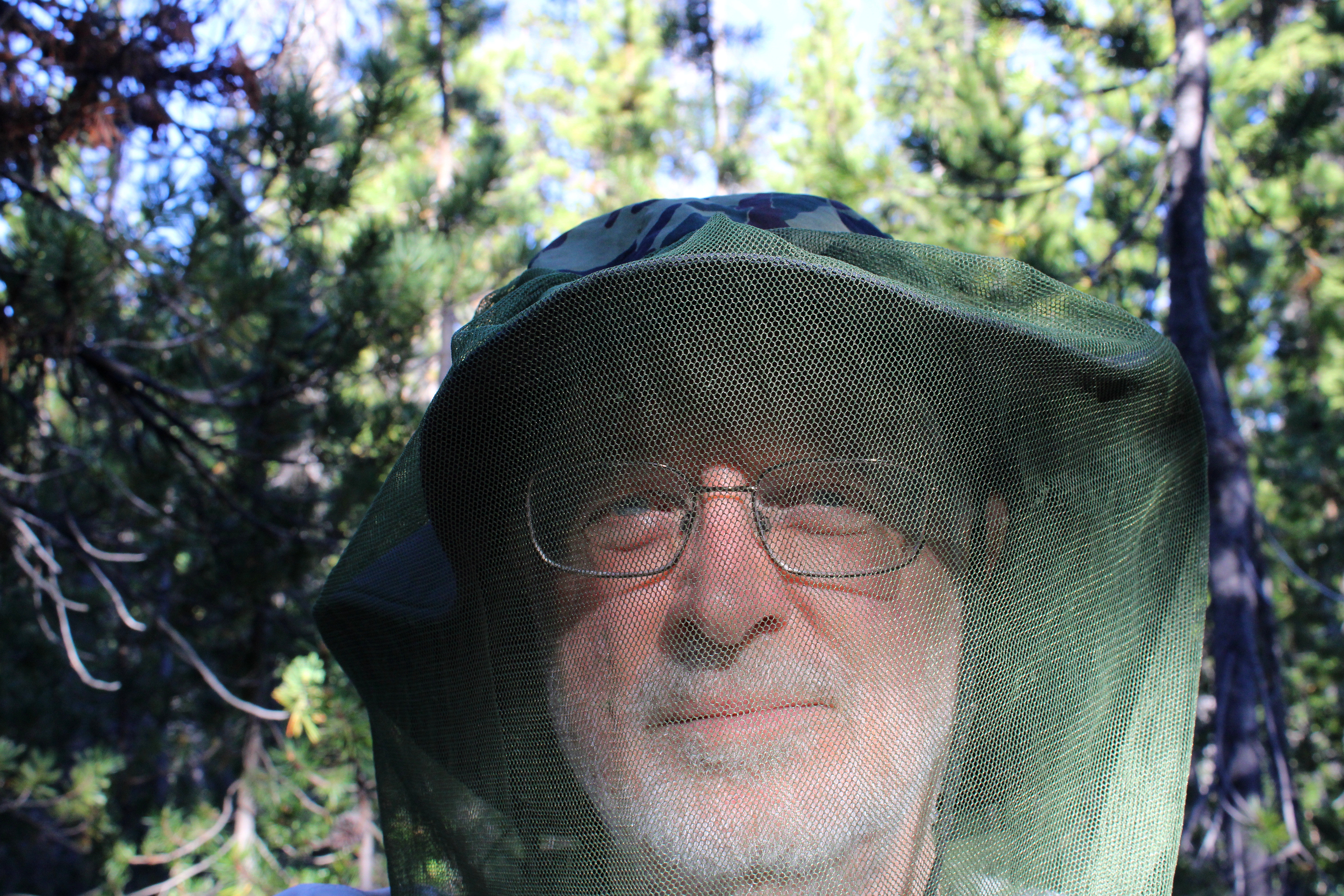
Nerd alert!

I had hiked here a week prior and already there were a few noticeable changes. There were no snowdrifts for one, the drifts being supplanted instead by thick clouds of ravenous mosquitoes. It had been a long time since I had felt the need to hike with a head net on but there I was, my handsome visage geekily swathed in netting in a desperate attempt to retain a modicum of blood for my own personal use.

Sunset at Nip and Tuck Lakes

Camp was set up on the narrow forested isthmus forever separating Nip and Tuck Lakes, and in between cooking, eating dinner, and fending off vast clouds of miniscule Dracula spawn, I explored the shore along both lakes. The sky was blue but trending towards sunset and small puffy white clouds moved across the sky overhead. Eventually, sunset arrived, turning the clouds pink, and then it was time to get inside the tent while the mosquitoes whined outside, thankfully stymied by the tent's mesh fabric.

Trees dead and live

Hiking all the way to Nip and Tuck Lakes had totally screwed up my logistics. Because I had hiked farther than intended, Oldenberg Lake was now under two miles away and Bingham Lakes were only two and a half miles away. Not a lot of walking would be required on Day 2, making for a long fun-filled day of mosquito and human interaction.

Day 2 was a dry and dusty affair

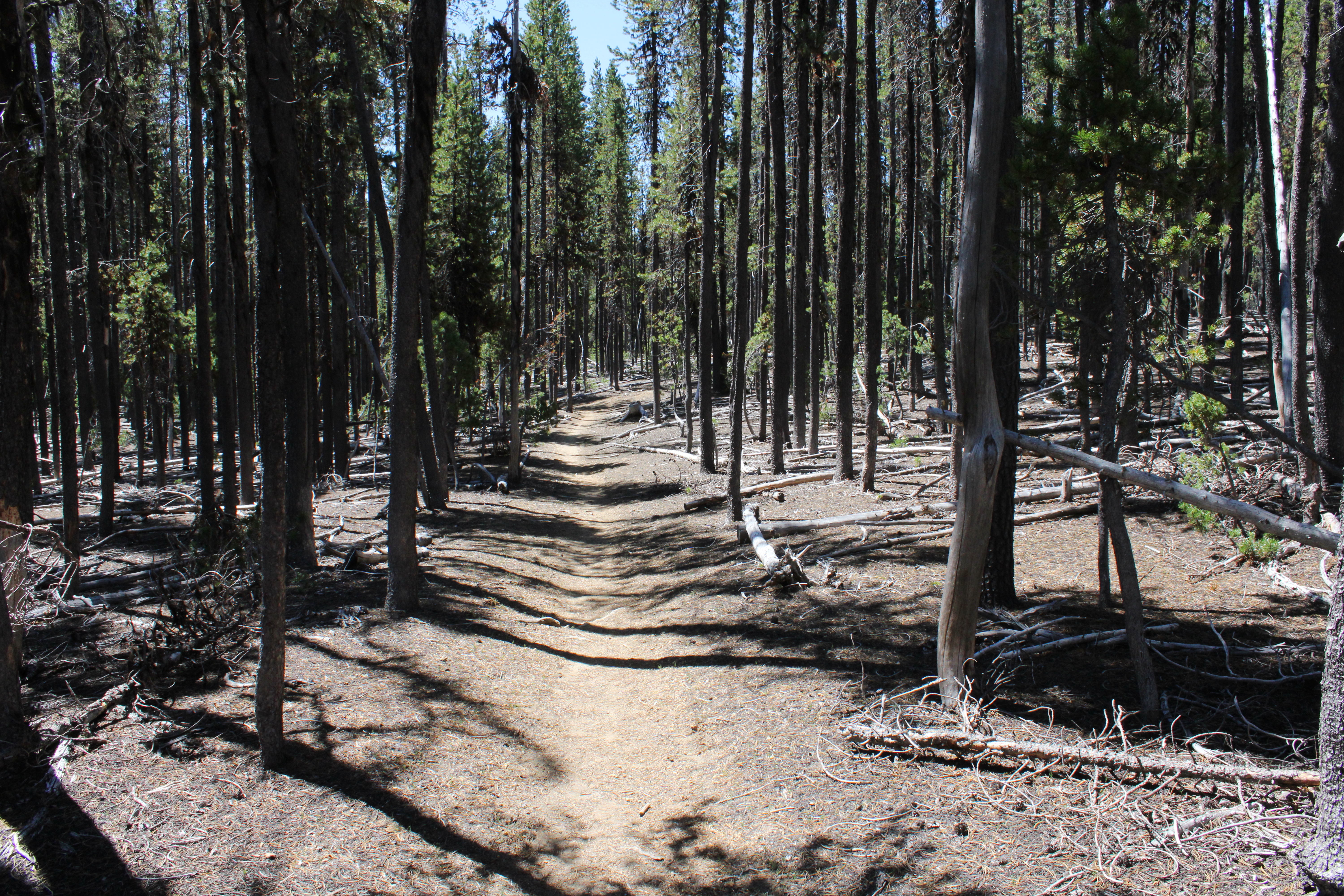
The Metolius-Windigo Trail is about one hundred miles in length, connecting the Mount Jefferson Wilderness to Windigo Pass. I'd be hiking on the MWT but locally, the trail was signed and mapped as the Oldenberg Lake Trail, which only made sense, seeing as how I was hiking to Oldenberg Lake itself. The dry and dusty trail got there via a short but rigorous stretch that went up and over a forested ridge, followed by a longer descent down to Oldenberg Lake. It'd be a steep climb on the return leg but hey, at least I had something to look forward to.

Oldenberg Lake

Oldenberg Lake is a popular stop for Pacific Crest Trail through-hikers hiking the MWT as an alternate route, for unlike the PCT, the MWT passes by many lakes and makes water replenishment easy and convenient. However, on this day I had the place to myself, not counting about two million mosquitoes, and I kicked back for a while, appreciating the calm lake under a blue sky. Off in the distance, the tip of Odell Butte was visible on the horizon, with its lookout affixed to the summit like the world's smallest party hat.

If you like dry lodgepole forests, then this is your hike

Between Oldenberg and Bingham Lakes, lay a dense forest of spindly lodgepole pines. I don't think there was any other plant species growing in the pumice-based soils that lodgepole thrives in. There weren't any mosquito-hunting species of fauna either, judging by the unimpeded hordes following my every move. Nothing here but lodgepole, mosquitoes, and one incredibly handsome backpacker with tasty blood.

One of the Bingham Lakes

Bingham Lakes is a collection of four or five medium sized lakes situated below and on the northeast side of Cowhorn Mountain. When I arrived at the first Bingham Lake, it was still early and before ten o'clock. It was already pretty warm for early morning, too. Rather than set up camp and swelter inside a hot tent while doing battle against a relentless airborne armada of insectile piranhas, I decided to turn my three-day hike into a two-day affair. So, it was an early lunch and then a turnaround to begin the hike out.

Back on the dry trail

So, back through the lodgepole trees I go, the trees providing some shade but not nearly enough on a warm day. The hiking rendered me into one sweaty dude in no time at all, and the resulting ungodly goo of sunscreen, Deet, perspiration, and trail dust rolled into my eyes, making me cry like a child whose cherished yellow balloon had suddenly and unexpectedly popped.

So many trees, so little shade

But hey, the really cool (sarcasm!) part was that the long descent I had come down on when approaching Oldenberg Lake, was now a long and protracted climb out of the lake's basin that had me feeling the "Old" in "Oldenberg". While I had felt pretty darn walky the day before, on this day I felt more like a jelly bean melting on a hot sidewalk. Let's just say I took a few more rest stops than normal before the trail crested and all that bad uphill stopped. The good news though, was that the amount of mosquitoes trying to eat me decreased in inverse proportion to the rising temperature.

That ridge had been our route to Cowhorn Mountain the day prior

The Oldenberg Lake Trail dropped steadily back into the same forested basin that contained Nip and Tuck Lakes. Periodically, I could see distant mountains and peaks like Black Butte and Cappy Mountain. Nearer to the trail, and way above, were the cliffs and crags of the same rocky ridge we had walked on the day before, when hiking to Cowhorn Mountain.

Brunch, anyone

Right before arriving at the MWT Trailhead, a startled bird flew up from the base of a tree growing right next to the trail. The bird was not particularly noteworthy but what got my attention is that I had seen the same bird not only on yesterday's hike, but on the prior week's hike as well. Sure enough, a quick search of the area revealed two eggs unceremoniously laying on the ground. I took off my pack, fired up my stove, and enjoyed a tasty omelet of wild eggs. Kidding! What I actually did do was take a quick photograph of the gray speckled eggs with apologies directed to Mama Bird anxiously watching me from a nearby branch.

Carpenter ant on a hike of its own

When I finally made it back to the Windigo Pass Trailhead, gone were the thundering hordes of aromatic through-hikers, but there was That One Brunette (her trail name, actually) taking a breather among the cache of water jugs at the trailhead. At this point I was feeling like my trail name could have been Nipped And Tucked but on the plus side, it had been just under a twenty-mile weekend for me.

That way for a future hike

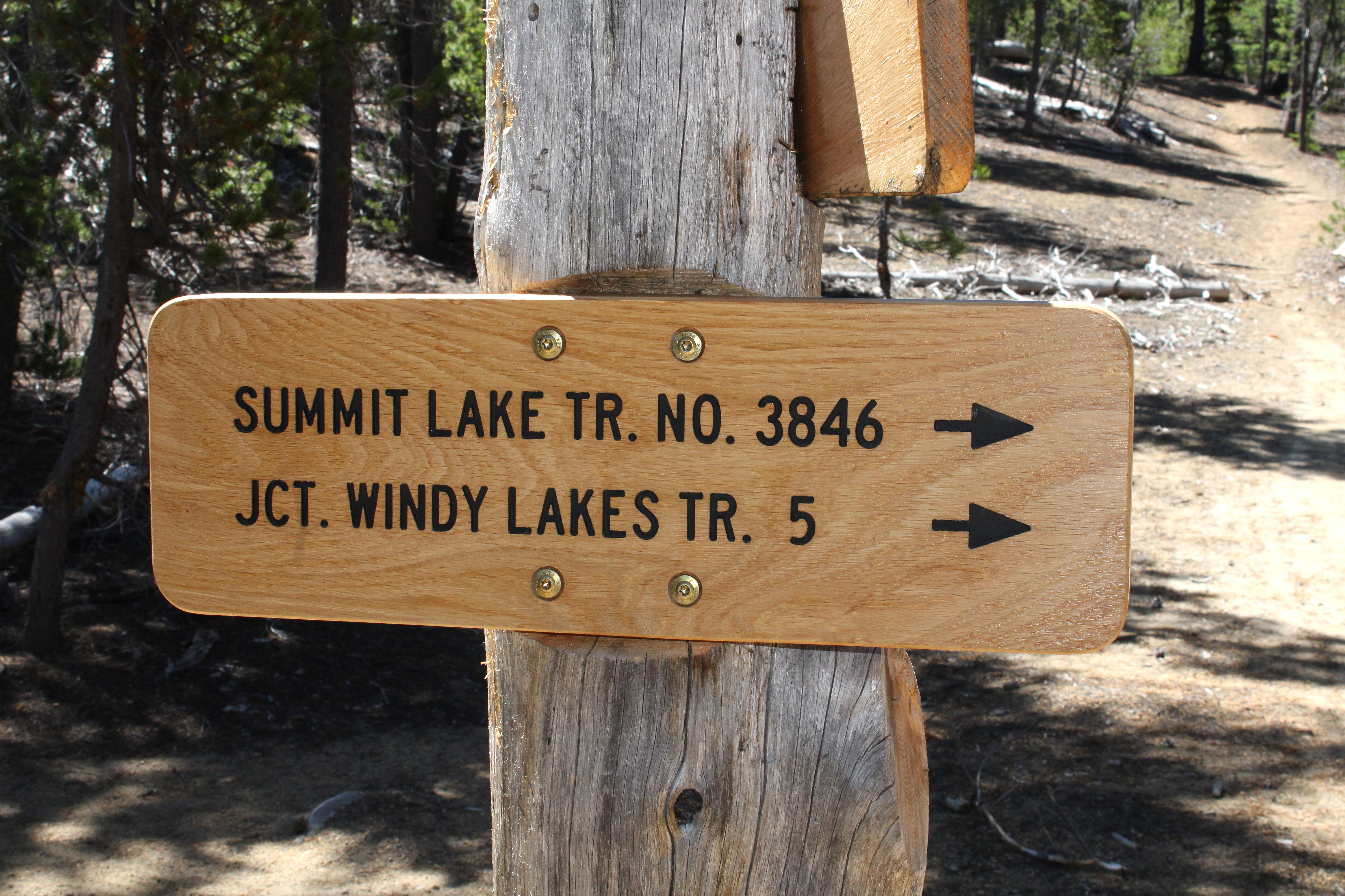
In retrospect, the hike was a bit short for three days. I'm already thinking about returning to do a loop hike in the area that would include Susan, Darlene, and the Windy Lakes with maybe a return via Summit Lake and the Pacific Crest Trail. That would bump up the mileage to a respectable 35 miles or so.

X marks the spot

On second thought, scratch that! Shortly after I completed this hike, a lightning-caused wildfire set up camp on Windigo Pass itself. Looking at the maps, the Windigo Fire came pretty close to the trailhead, as the fire burned on either side of Road 60. In response, the Forest Service closed the Pacific Crest trail from Crater Lake to Bend, along with half of the Diamond Peak Wilderness, and half of the Mount Thielsen Wilderness. Meanwhile, the mammoth Cedar Creek Fire has closed all of the Waldo Lake Wilderness. Looks like I'll be pretty much hiking in my living room these days.

Random skyline snippet along the trail

For more photos of this hike, please visit the Flickr album.