Showing posts with label oregon cascades recreation area. Show all posts

Saturday, July 9, 2022

Cowhorn Mountain


I've told this story before but I'm not above plagiarizing myself. Cowhorn Mountain got its name from a spire that used to be on the mountain and probably resembled a cow's horn. Unfortunately for us present-day hikers, the horn fell off in the early 1900s, knocked down in the middle of the night by a severe winter storm. It just goes to show that mountains, just like people, also become less horny as they get older. 

Move 'em out, head 'em up! Rawhide!

At least the modern-day trimmed-down version of Cowhorn Mountain is presumably easier to summit than it was in the early 1900s. And speaking of trimmed-down versions, Friends of the Umpqua was hosting a trek to the mountain's summit and we numbered a robust and eager eighteen hikers, but who's counting, besides the hike leader? As we laced up our boots, the Pacific Crest Trailhead at Windigo Pass was a busy place, not even counting our lively band of bovines.
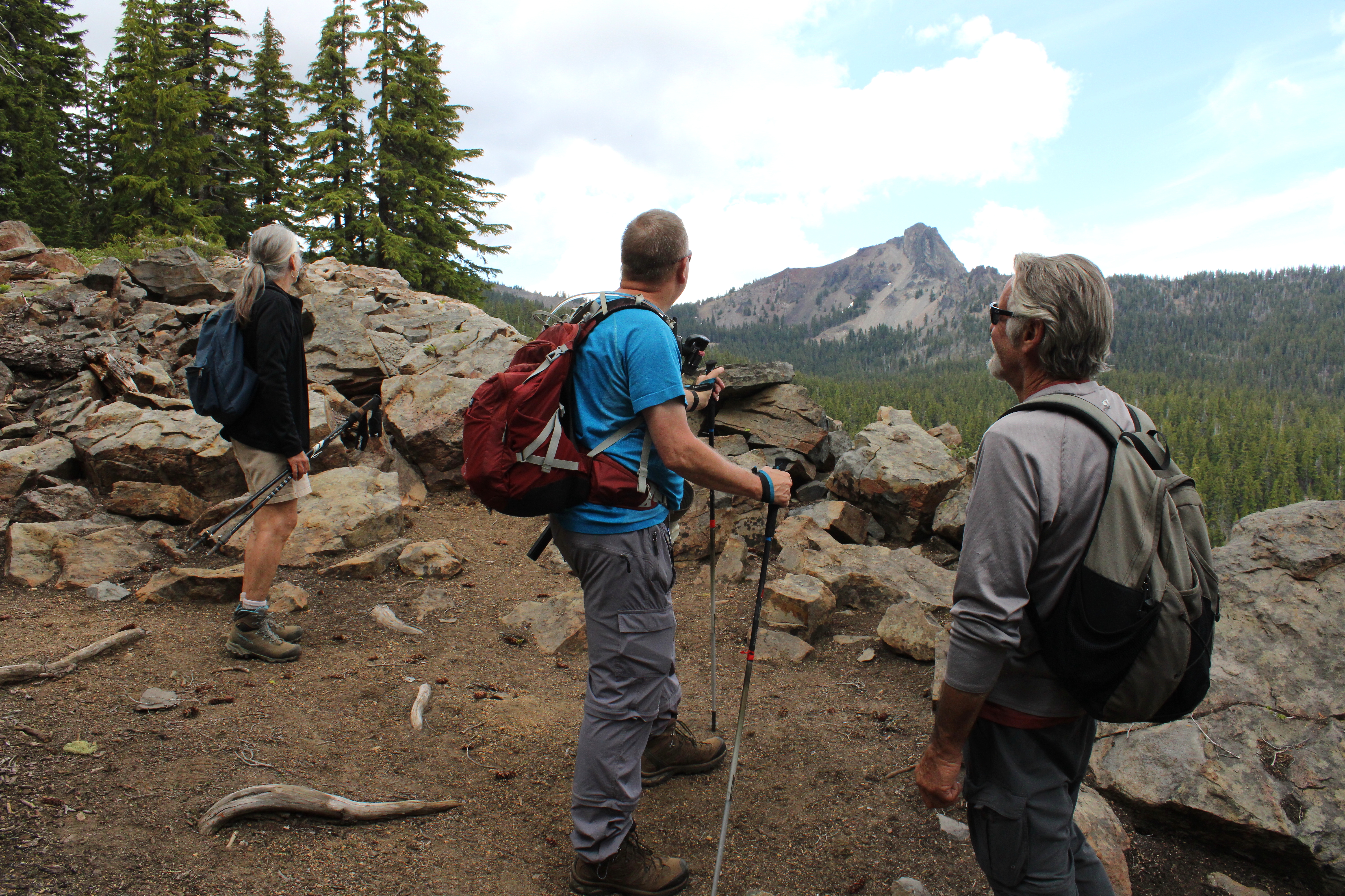
The mountain is calling but do we really have to go?

From the Windigo Pass Trailhead, there is not a lot of water to be found along the trail until hikers reach Summit Lake about 13 miles away. However, a trail angel has adopted the Windigo Pass Trailhead and keeps it well stocked with jugs of water and accordingly, throngs of through-hikers were drinking at the trough, so to speak. The trailhead was quite the festive and high-spirited place that morning!

Gone was the snow around Windigo Lake

This hike took place only a week after my Nip and Tuck hike and I was somewhat disappointed to see the forest between the Pacific Crest Trail and Windigo Lakes to be snow free. It was like my rough bushwhack last week had never happened. What was happening now and not then, was that throngs of voracious mosquitoes were the travail du jour.

A forming thunderhead was cause for concern

The weather forecast called for possible thunder and because standing on top of a tall mountain is not a good idea in a thunderstorm, we kept a wary eye on the clouds forming over the crest we were hiking on. The clouds resembled baby thunderheads but never quite got to the point of hurling lightning bolts at stampeding hikers.
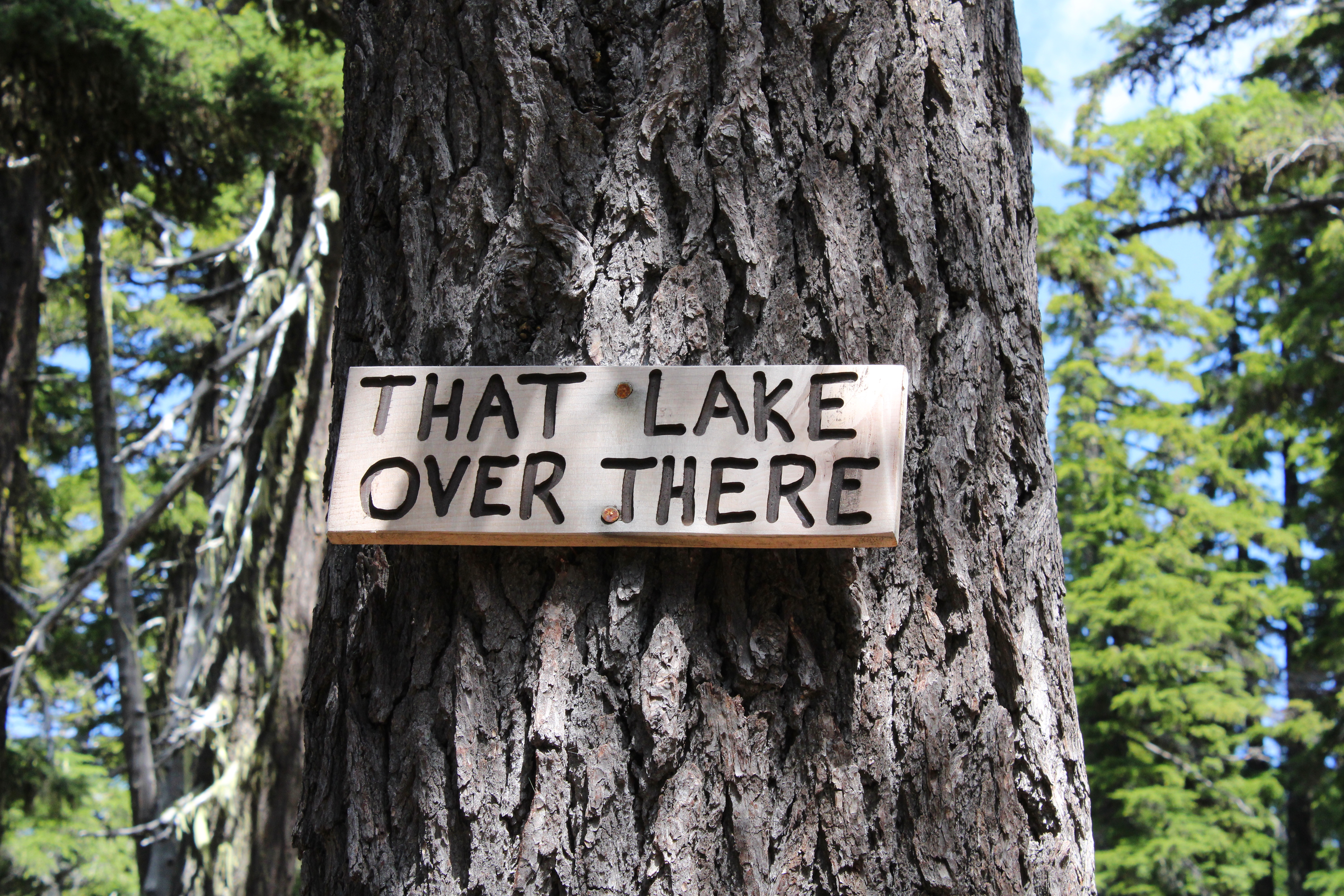
The PCT will be renamed "The Trail You Are Hiking On"

The Pacific Crest Trail heads uphill for about four miles at a steady grade. As we gained altitude, periodic openings in the forest allowed us to see distant Mounts Bailey and Thielsen to the south, and the Cappy Mountain complex east of the PCT and much closer to Windigo Pass. Below, in a forested basin, the twin jewels of Windigo Lakes reposed on a large blanket of forested terrain. And speaking of lakes, a stagnant pond that used to be an important water stop for through hikers before the advent of the Windigo Pass trail angel, had been signed by some wag as "That Lake Over There".

Snow was all over the higher reaches of this hike

As the trail sashayed to and fro and undulated and up and down the forested ridge leading to Cowhorn, openings in the forest provided occasional peeks at the day's object of our desire. Always craggy and udderly foreboding, Cowhorn Mountain looked to be so much higher and farther than our current vantage point. One should never look ahead, it's always so de(moo)ralizing.
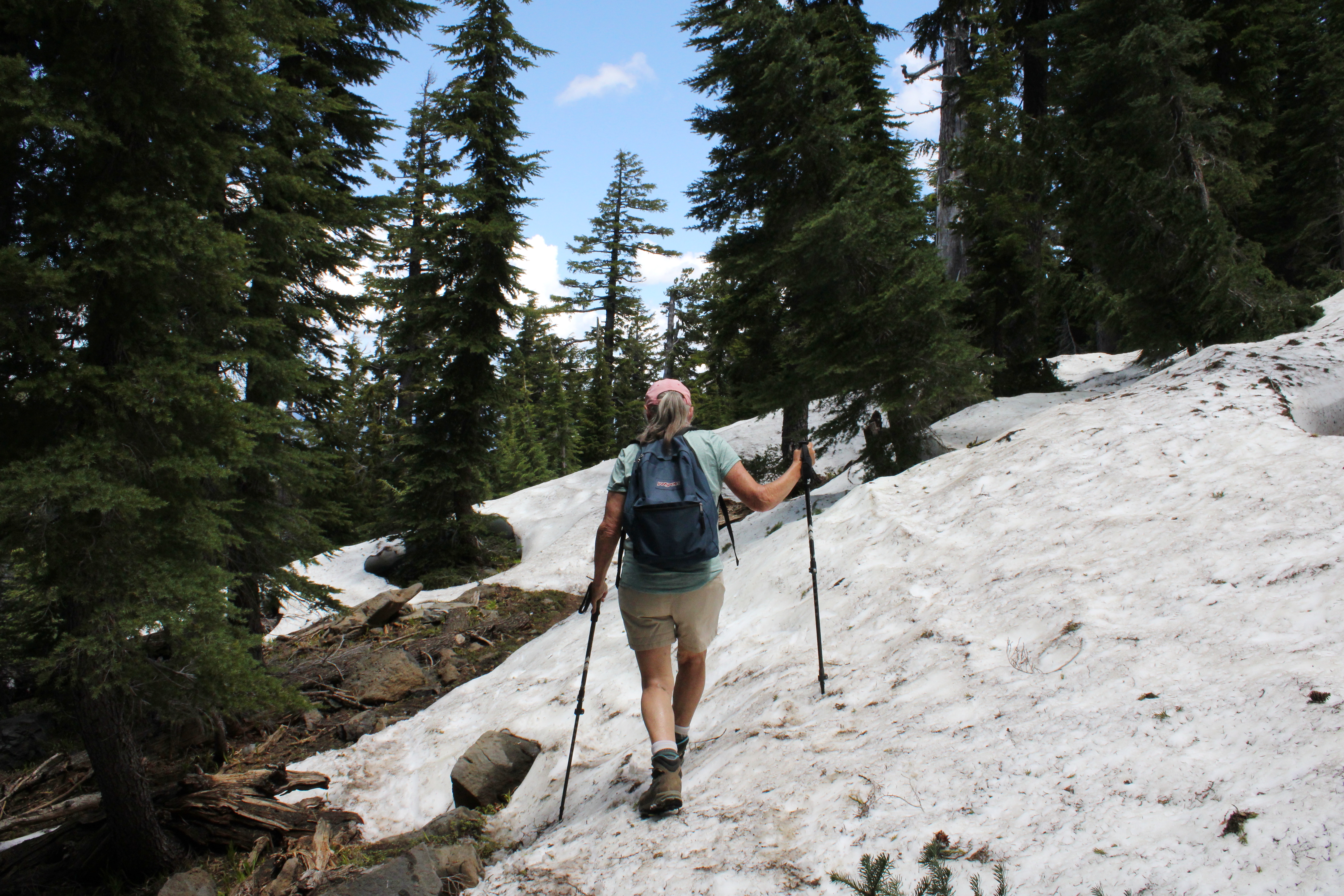
Penny picks her way through the snow drifts

As we continued to gain altitude on the Pacific Crest Trail, snow became a thing and that's snow lie. The drifts were plentiful and deep enough to hide the trail from sight. Fortunately, this is through-hiker season and we just followed their hoof prints in the snow when uncertain. The melting snow was soft and we had to watch out for tree wells and hollow spaces to avoid sudden and unexpected posthole moments in the slushy snow
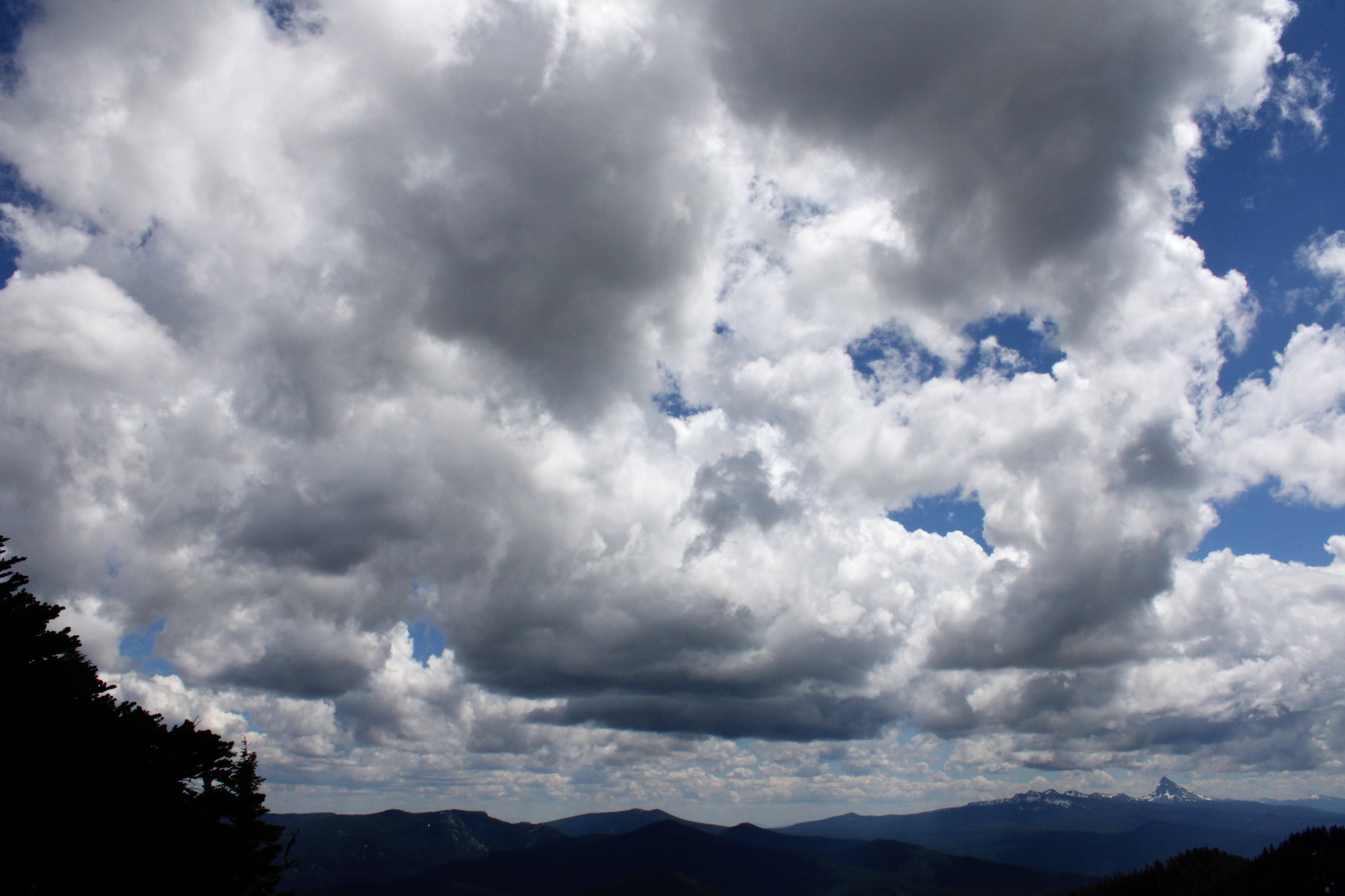
Clouds form and reform over the landscape

I was feeling so walky that I soon found myself in front of the herd, accompanied solely by Katelyn, who was our youngest hiker at age thirteen. I daresay that as fast as I hiked, she would have left me eating her snowflakes if she knew how to get to Cowhorn by herself, and that's no bull. But all that fast moo-ving along had a price for the diabetes impaired and I bonked right at the foot of the mountain. So, while most of my friends made hay and went up to the summit, some of us stayed behind to chew cud and admire the landscape and cloudscape surrounding the prominent peak of Cowhorn Mountain. And one of us ate the proper foods to reconstitute his low blood sugar, darn diabetes anyway.

Hikers carefully navigate their way down

It was all downhill naturally, once our thundering cattle herd disembarked from Cowhorn Mountain. There was some slipping and sliding on the snow drifts on the way down and I took the occasion to instruct the less experienced hikers how to safely kick-step through the snow. It was a perfunctory four-mile hike through thick forest, thick clouds of mosquitoes, and thick throngs of through-hikers before we arrived in good order at Windigo Pass, fully sated with the day's undertaking.
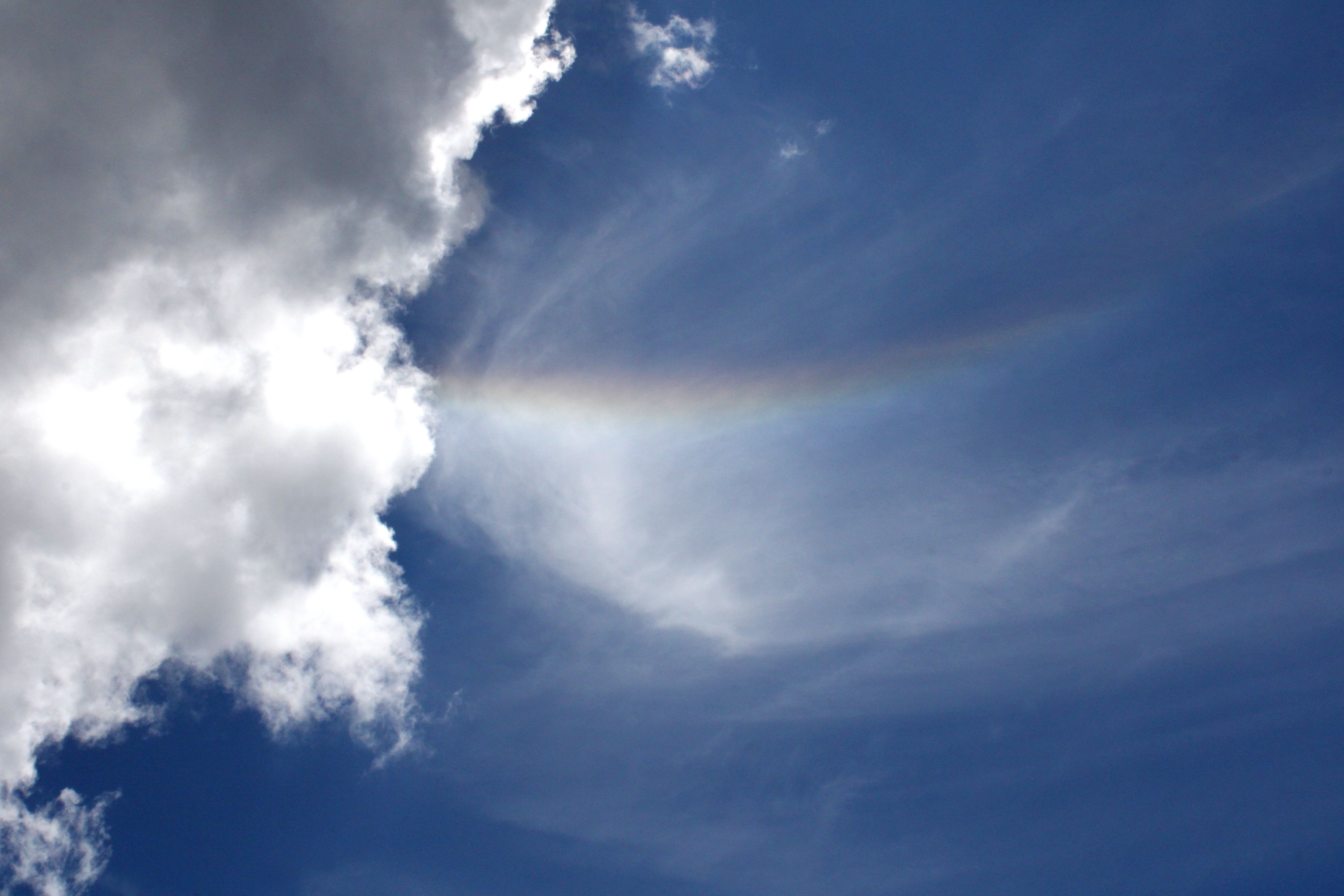
Rainbow in the sky

Well some of us were fully sated, while at least one of us apparently required some more adventure and exercise. Yup, I divested myself of my daypack and hoisted my backpack onto my shoulders, ready for a hike down into the Nip and Tuck Lakes area. Hay, I was back to feeling walky again and head me out and move me up. Rawhide!
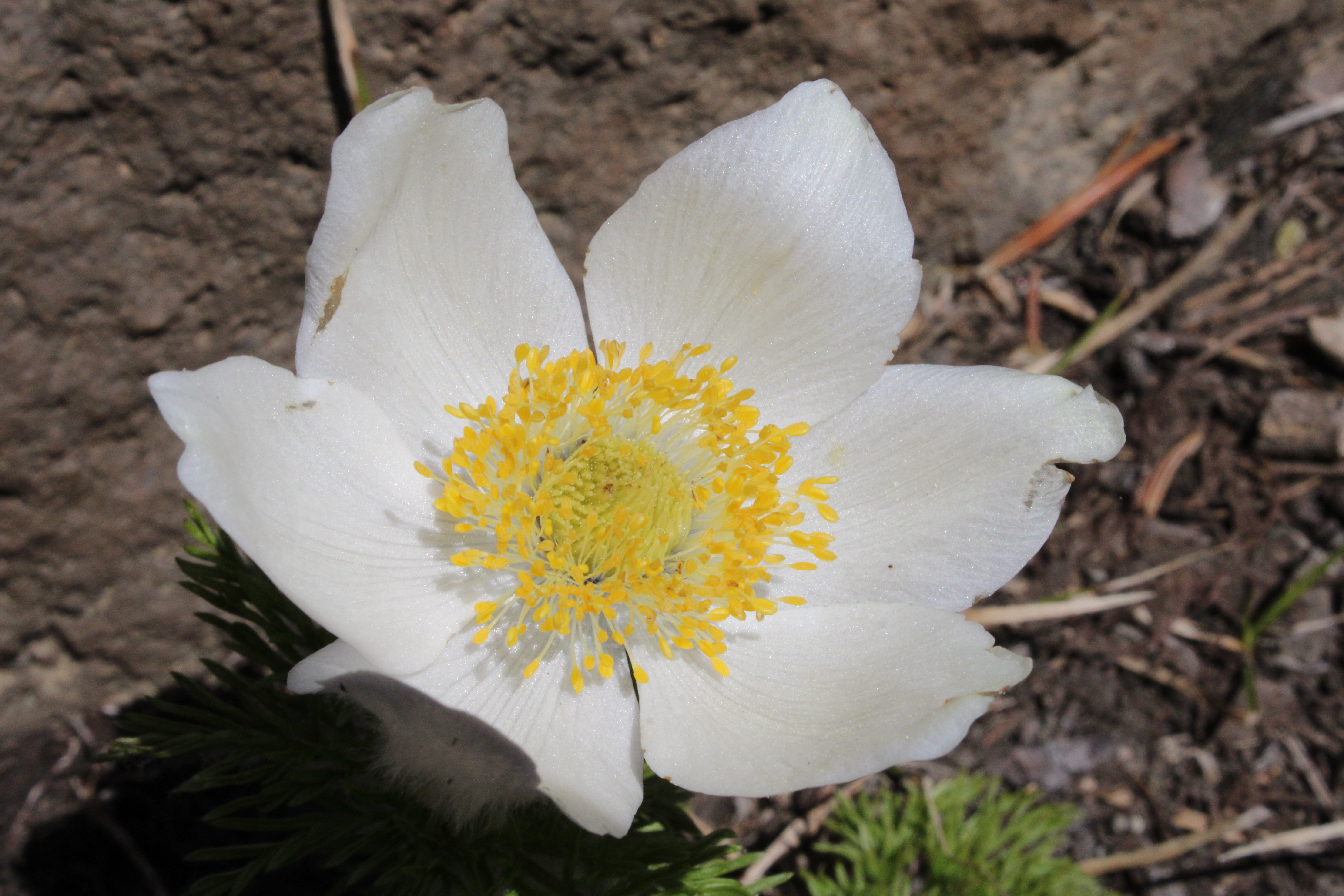
Pasque flower adorned the rock gardens near the summit

For more photos of this hike, please visit the Flickr album.

Friday, July 1, 2022

Nip and Tuck Lakes


Now seemed like the time for my very first hike to Nip and Tuck Lakes, or the Plastic Surgery Lakes as I like to call them. Yeah, that's a bit of a groaner but seriously, if you like pristine lakes with plenty of solitude (and who doesn't?) then Nip and Tuck should suture needs. Sorry about those atrocious puns but hopefully they'll leave you in stitches. There's more where that came from and that's why I usually hike alone.

The last vestige of winter

Snow played a big part in my deciding to hike here. Our little corner of Oregon had experienced a pretty good winter and as a result, snow was still lingering on the ground and covering up trails about three weeks later than normal. Eager to get up into the mountains and ascertain where exactly the snow level was, I penciled this hike in for a sunny but mild day in the Windigo Pass area.

The trail was actually Forest Road 60 at first

From the Pacific Crest Trailhead at Windigo Pass, it was a three-quarter mile hike down a dusty forest road to the official Metolius-Windigo Trailhead. The MWT runs over one hundred miles in distance between the Mount Jefferson area and our own Windigo Pass but today I'd be hiking just about three miles of it.

The trail had kind of a dry vibe about it

Dry and dusty. That about sums up the hike to Nip and Tuck Lakes, although you'd never know it from the trailhead. There, several patches of snow lay underneath the trees and the melting thereof created several very cold but clear running streams but that was it for the snow and water. Once I left the trailhead it was all tan-colored pumice soil underneath a thin forest with little to no undergrowth.

Beetle markings on a lodgepole victim

Lodgepole pine grows where other trees can't, like in the pumice-based soil I was hiking on. Accordingly, thin stands of scrawny lodgepole trees grew along the trail, which ran unerringly straight through them. Because of the harsh environment they grow in, it's hard to become a successful adult lodgepole pine tree and accordingly, the bleached bones of failed attempts at treehood from years past were strewn along and on the trail. At least the carpenter ants and woodpeckers were happy.

Nip Lake in all it's nippy glory

After almost three miles of hiking on a gently undulating up-and-down trail, the path to Nip and Tuck Lakes was arrived at. It's almost as if Nip and Tuck Lakes are one single lake. You don't say "I think I'll nip over to Nip Lake" or "Tuck me in at Tuck Lake". Nope, it's "Nip and Tuck", forever inseparable as one, like Batman and Robin, like Marc Anthony and Cleopatra, or maybe like Lane and Richard. Just a narrow wooded isthmus about 20 yards wide is all that keeps us from referring to a single lake as "Tucknip". 

Tuck Lake in all it's tucky glory

Tuck Lake is the larger of the two lakes but smaller Nip is not without its charm. Marshy meadows surrounded both lakes and made shoreline exploration nigh impassable. Fortunately, this hike took place before mosquito season so no Deet was needed as I ate an active lunch, walking back and forth between the two lakes so as to give each equal viewing time. Come back in a few weeks though, and the mosquitoes will be most appreciative of your unwilling donation to their blood bank.

Pink heather was abloom along the lake

Small clumps of pink heather, which incidentally was my stage name when I was in the theater, bloomed within the lakeshore grasses along with some isolated specimens of shooting star. The color yellow was represented by the odd buttercup or two and "odd buttercup" is what they called me on the work crew. I'll stop now.

The Pacific Crest Trail had no snow on it

The easy terrain encountered on the hike in meant that it was also easy terrain on the hike out. And, after several miles of easy walking, I found myself back at the PCT Trailhead at Windigo Pass. It was still relatively early in the day, I had only hiked about five miles, and certainly I was dressed for the occasion, so I concocted a brilliant plan to bushwhack over to the Windigo Lakes for some extra lakes and mileage.

Time to bushwhack in slushy snow

The Windigo Lakes are two lakes that lie in the forest east of the Pacific Crest Trail. There is no trail to the lakes, so out came my GPS and I hiked up the PCT until I reached 5,900 feet of elevation, which was just a bit higher than the first of the two lakes. I then stepped off the PCT and headed out into the forest and that was when I found out my well-crafted plan had a major flaw. While the PCT had no snow on the trail tread, underneath the shady trees lay a veritable winter wonderland of slushy and mushy snow, and me without snowshoes. It was a tedious post-holing slog to the first Windigo Lake and a tedious slog back but I did get a nice view of Cowhorn Mountain in the distance. The second lake will have to wait for a snow-free day.

The view at Windigo Lake's outlet

So that was it for the hike to Nip and Tuck Lakes: short and sweet, just like me. The snow surrounding Windigo Lakes won't be there much longer and I may bring my backpack with me when the Friends of the Umpqua hike to nearby Cowhorn Mountain. The many lakes surrounding Nip and Tuck just beg for further exploration. Stay tuned!

Clear running creeks were full of melted snow

For more photos of this hike, please visit the Flickr album.

Saturday, August 6, 2016

Tipsoo Peak

Earlier this year, I was contacted by the Umpqua Watersheds (a local conservation group) about leading a hike for their organization. I wasn't sure what I was getting myself into but since they threw in phrases like "...love your newspaper articles", "...great blog", and "...so incredibly handsome" I had no choice but to accept their request. Flattery usually gets you nowhere but it can get you a vain hike leader!

On the dusty slog up
In discussing the hike with Alan of the Watersheds, I told him the road was very doable for small cars as I had taken my KIA Rio up there several years ago.  Oops. The road has really deteriorated and was badly overgrown with deep ruts in it. There was a lot of bottom scraping by the Prius contingent of our little motorcade. This might just be the last time I get asked to lead a hike!

Hey Tipsoo, I see you!


It has been said about journeys in general (and applicable to hikes too) that it's oft about the journey and not the destination. Having said that, Tipsoo Peak is only about the destination. The rather mundane Tipsoo Peak Trail climbs up through a viewless forest for several miles before delivering hikers to a jaw-dropping view atop the relatively inconsequential 8,034 volcanic cone. No technical climbing is required to attain the summit and Tipsoo Peak is probably the easiest climb ever to a peak over 8,000 feet.

Pinesap emerges zombie-like, from the earth
So, after apologizing to the Prius drivers, we headed up the Tipsoo Peak Trail. It was a pretty brisk climb through the viewless forest but at least there was plenty of pinseap sprouting from the earth in a sure sign summer is coming to a close. Pinesap also allows gasping hikers with cameras to surreptitiously sneak in a rest stop or two, just saying.


All about the destination


After a zigzagging climb for a couple of miles up the forested slope of Tipsoo Peak, the forest began to thin out a bit along the path, offering teasing views to the tips of Mount Thielsen and Mount Bailey. As one would expect hiking on a volcano, the soil was pumice based and clouds of dust scuffed up by our boots hung limply in the still air. The trees became somewhat stunted, directly attributable to the winter winds and snow that regularly pummel Tipsoo Peak and neighboring peaks over 8,000 feet.


We should all enjoy hikes as much as a dog does

Eventually, the summit proper of Tipsoo came into view as the trail neared our destination. A large snow drift lay right below the rocky summit and there was a nice view to the lesser twin of Tipsoo's two peaks. And after the short scramble to the summit, it was time to sit down and gawk at one of the world's best views, no other response would be appropriate.


Diamond Lake and Mount Bailey
To the south rose up the pointed spire of Mount Thielsen, seemingly intent on poking a hole in the cloudless sky. In front of Thielsen were a jumble of rocks and peaks that in combination, comprised Howlock Mountain and Sawtooth Ridge. It was hard to distinguish the mountain from the high points on the serrated ridge and vise versa. The round mound of Mount Bailey rivaled Mount Thielsen in stature while sapphire-blue Diamond Lake serenely reposed in between. Behind all this and on the horizon, were some of the peaks of Crater Lake rim. Directly below, a tan colored pumice plain dotted with a sparse forest lay between us and Sawtooth Ridge and we could make out the thin ribbon of the Pacific Crest Trail weaving its way across the plain.

Photo ops


On the horizon to the north, were the huge snow-covered peaks of the Three Sisters with massive Diamond Peak in between. Because all my charges were new (except for one other hiker) to Tipsoo Peak, I showed off my incredible wealth of knowledge by naming all the lesser peaks in the area: Cowhorn Mountain, Sawtooth Peak, Tenas Peak, Tolo Mountain, and Maiden Peak (I'd be hiking there the very next day).


Howlock Mountain


As if the mountain scenery was not enough, there were also lakes to contemplate. Besides the aforementioned Diamond Lake, we spotted Lake Lucille and Maidu Lake, both on the North Umpqua River. In fact, greenish Maidu Lake is the source of the North Umpqua. On the east side of the Cascade Mountains was large and prominent Miller Lake while on the west side and equally prominent was many-armed Lemolo Lake. Way cool, and all the oohs and aahs from the Tipsoo newbies in my group was plenty of reward for one erstwhile jaded  hike leader.

Alex takes the fun way down
After a lengthy lollygag and view-soak, Dollie and I headed back down the trail, capping off a fine hike on a fine day with fine friends. I'm glad to report that no Priuses were further harmed on the drive back to the Diamond Lake Highway, apart from some cringe-worthy undercarriage scraping. And thanks to the Umpqua Watersheds for giving me the opportunity to share one of my favorite hikes with them.

Umpqua Watersheds hikers
For more pictures of this hike, please visit the Flickr album.