Showing posts with label national wildlife refuge. Show all posts

Thursday, February 18, 2016

Turnbull Wildlife Refuge

Daughter Jessie was getting married so naturally I instead went hiking. Kidding! Actually Dollie and I drove up to Spokane for the very special event which I actually attended. However, the days before the wedding did provide me at least one opportunity to slip away for a mental-health hike on a crisp day that hovered somewhere between winter and spring.

Let the mosquito breeding begin!
The hike of choice was Turnbull Wildlife Refuge as it was a reliable snow-free destination in an area surrounded by mountains covered with snow. At the start, the day was overcast and it felt like it just might rain. However, I cared less about the rain and more about the brisk and biting wind blowing through my layers of clothing. So with a rueful "Dang, it's cold", I set out on the trail, leaving the rustic buildings of the refuge headquarters behind.

Windmill Pond


The double track trail (another term for gravel road) led to marshy Windmill Pond where a small boardwalk provided a view of the tranquil waters. Small birds twittered in the bushes and that was it for any wildlife sighting at Windmill Pond. Because I was wandering aimlessly in an area I was not familiar with, I continued on the first gravel road I saw, which promptly headed up a rolling hill forested with Ponderosa pine.


The loneliness
After a half-mile or so, the road broke out of the forest and an endless prairie of short grass stretched out in front of me. All that wind was working hard at blowing the clouds away and I actually got to enjoy blue sky and bright sun off and on for the rest of the day. It still was cold though. Below the trail reposed the bright blue waters of Middle Pine Lake, surrounded by a bowl of dried brown grass. An intersection with the Stubblefield Trail called to me because it probably had stubble and a field on it.

Blue sky on a winter day
Despite the relatively flat and seemingly dry terrain, there was standing water everywhere. Flanking the trail were ponds and puddles of all sizes and shapes, which no doubt attract migrating birds in birding season. A pamphlet obtained at the headquarters mentioned moose but on this day I was virtually the only wildlife out on the sparse and treeless steppe.


This way to the Mississippi!
This was a great cloud day as clouds formed and reformed overhead, making for slow going as I chronicled each and every atmospheric change with my camera. The trail was unrelentingly straight and I felt if I would keep hiking on it, I'd wind up on the banks of the Mississippi River at some point. The terrain was basically flat but there were a lot of  gentle rolling ups and downs with each little depression containing a body of water sparkling in the intermittent sun.

The Washington State Tree
At about the 2.5 mile mark, Stubblefield Lake came into view, appropriately surrounded by stubble and fields. Ducks, in a rare wildlife sighting, flew away in feathered panic at my arrival. There was actually one tree at the lake so I had to take a picture of it. It was just the perfect place to sit down, shivering in the brisk breeze, and contemplate the stark beauty of the panorama before me.

Not the "Long and Winding Road"
At Stubblefield Lake, another road followed a fence line back towards the refuge headquarters and that was my return route. More clouds, more blue sky, more grass, and more lakes were my source of both entertainment and mental health therapy as I walked. Just a grand, albeit chilly, day in eastern Washington.


Cheever Lake
Cheever Lake is the largest of the Pine Lakes and I took a short side trip to visit the blue lake. A bald eagle was patrolling the sky above the lake but never got close enough for me to get a picture of it. The trail to the lake continued on but totally in the wrong direction so I backtracked and took a left turn on the trail back to the Pine Lakes.


Paved trail next to Middle Pine Lake
This is a wildlife refuge and signs admonished me to stay on trail as the grasslands next to Cheever Lake were are reserved for birds only. I sure hope the moose can read those signs! At Middle Pine Lake, I grabbed a trail that wandered on the opposite side of the lake and a family of trumpeter swans regally paddled away from me. The trail was civilized and totally paved as it wandered past the maze of water channels at the lake's inlet.

Storm blowing in at the end of the hike
Timed it just right because a noticeable storm was blowing in from the south and I made it back to the trailhead just as the rain started. All in all it was a good hike that left me mentally fortified for the next round of wedding preparations.

Joy
For more pictures of this hike, please visit the Flickr album.


Saturday, July 28, 2012

Bandon cycle trip

My view for 92 miles
Occasionally, a hiking weekend is set aside for a bike hike.  In this case, it seemed simple: A ride with our Umpqua Velo Club friends from from Frona Park, located about 18 miles northeast of Myrtle Point. The mileage was 46 miles to Bandon which sounds simple enough, as long as the 4 hills in between aren't mentioned.


Because the going was so tough, I did not take any pictures on the ride other than a few desultory shots of Dollie pedalling ahead of me. We arrived in Coquille and lunched at a vegetable stand which despite its main raison d'etre, does a fine double duty as a deli and taqueria. Nothing like a hot Texas Burrito to raise the spirits of a flagging biker.

Umpqua Velo Club
The cutoff from Coquille to Bandon had filled me with dread because the West Beaver Hill Road is the usual route for going to the coast on all our hikes. The grade makes our car tired, we didn't have a chance on bikes. We did get halfway up the 12% grade before hopping off the bikes and walking off the remaining climb. Some of our velo mates passed us, pedalling well into granny gear but not travelling much faster than our walking speed.

 
Riding from Whiskey Run

Once across Highway 101, the road leveled out and Dollie resumed speaking to me. An exhilarating drop took us down to Whiskey Run Beach where we took a lollygag, walking across the sand all the way to the water's edge. Some cyclists actually walked their bikes to the shore, ritually dipping wheels into the  Pacific Ocean.

Whiskey Run Beach

A short sub-10 mile ride brought us to Bandon where we were assigned the very same apartment we had stayed in when we rode the Oregon Coast several years ago.  Harold and Susan were booked next door, too. The club regrouped and ate a nice dinner in town, exchanging war stories of the ride.

Blinded by the light

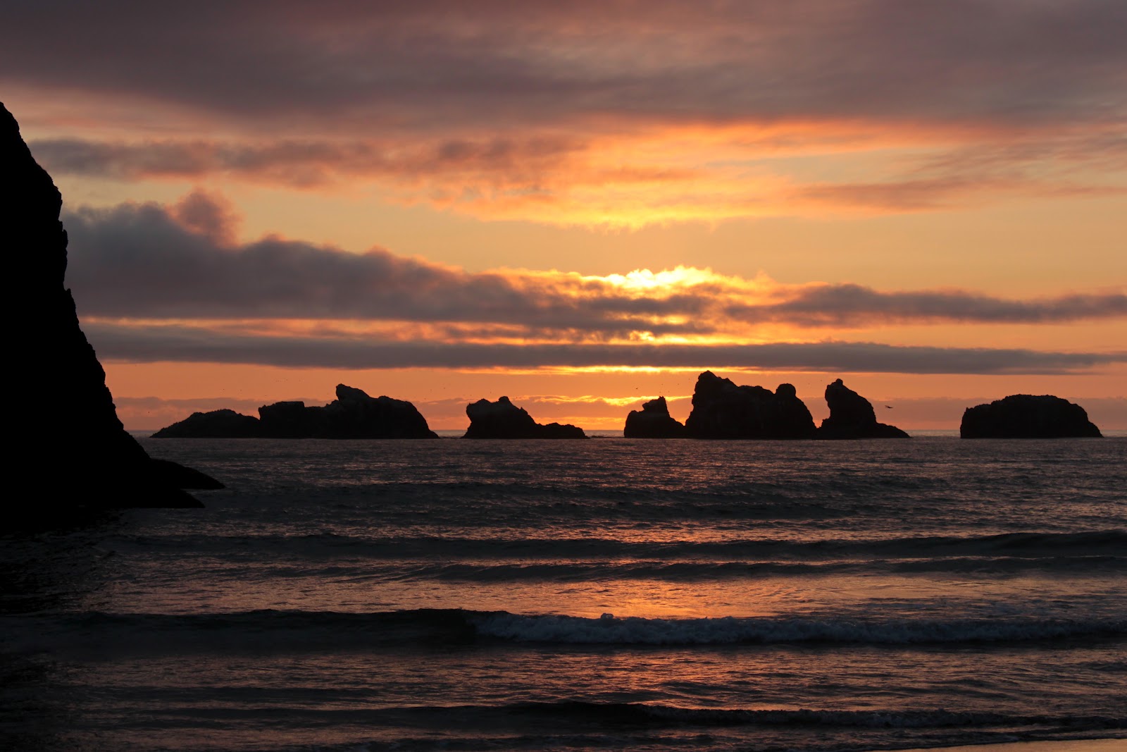
After dinner, Harold, Susan, Dollie and I strolled on the beach to work off the hamburgers and to enjoy the sunset on scenic Bandon Beach. The sunset did not disappoint and much photography ensued before returning to the motel. We went to bed early, as we had the trip in reverse to ride the next morning.

Sunset


So, the next morning, it was the same up and down the over the same 4 formidable hills in the same 46 miles. I think we cycle because it's fun, but at times I'm not sure how much fun we are having. Maybe it's for the sunsets...yeah, that must be it.
Oooh, aaaah...