Showing posts with label cycling. Show all posts

Saturday, September 13, 2014

A Tale of Two Forts

In 1805, the Lewis and Clark expedition was about to face winter along the Columbia River and the available options for weathering a Pacific Northwest winter were to move upriver, camp on the Washington side of the river, or camp on the Oregon side. Per Wikipedia, Washington's diet was deemed too boring and the weather too rainy (the same still holds true today!). On the recommendation of the local natives, Lewis and Clark opted to build an encampment along Oregon's Lewis and Clark River in what truly was an amazing coincidence.

Encampment detail
Well, the camp was built in an Oregon winter storm which, as we Oregonians know all too well, last about 9 months or so. So the Lewis and Clark expedition soon found the Oregon diet too boring and the weather too rainy (and the same still holds true today!). Apparently they had enough of our weather and they left the area well ahead of schedule (I call it "running away") and their encampment, known as Fort Clatsop, eventually decayed as all things do in Oregon's wet climate. A replica was later built using Lewis and Clark's sketches and that replica burnt down in a 2005 fire, so another replica was subsequently built (but with smoke detectors, this time). I doubt the smoke detectors were in Lewis and Clark's sketches.

Bringing dignity and respect to Sacajawea
Dollie, Mom Gier, and I made a quick trip to visit the fort on our stay in Seaside. The fort is the centerpiece of Lewis and Clark National Historic Park and we toured the small encampment. The austere encampment is not very big and you could almost smell the unwashed bodies in the confined spaces in the wooden structures. Oh, that also might have been me, but I digress. After touring the rustic encampment, Dollie and I took a short walk on some boardwalks to the Lewis and Clark River where the view of Saddle Mountain's tip got my attention because the mountains always call me.

Happy cyclists
The next day, Dollie and I got up early and hopped on the bicycles. We pedaled up the coast highway to Fort Stevens State Park, a rather large park that is part of the Lewis and Clark National and State Park complex. Fort Stevens was built during the Civil War to guard the mouth of the Columbia against the British during the Pig War. I kid you not, we nearly went to war with England over a British pig shot by an American settler, sometimes comedy just writes itself.

What's left of the Peter Iredale
Fortunately, we never quite got around to shooting each other and both sides continued to eat bacon and pork chops with impunity. It was a much more peaceful setting when Dollie and I arrived at the park on a chilly morn. Our first stop was at the wreck of the Peter Iredale, a 1906 shipwreck that is still visible today. Since we were there so early, there weren't many people around which is not a normal occurrence, judging by all the footprints in the sand. It sure makes for nicer photographs without the thundering sandaled hordes intruding into the camera viewfinder.

A ship on the Columbia River
Using a combination of bike trails and roadways, we cycled through low marshlands to the Columbia River.  The river is the Mighty Columbia here, flowing wide, deep, and fast. We watched large cargo ships make their way upriver, presumably on their way to Portland. Fishermen by the pailful were plying their avocation along the sandy river banks.


Jetty at the mouth of the Columbia
The last stop was the south jetty at the actual mouth of the Columbia. Across the river was Cape Disappointment on the Washington state side. I wondered if the cape was named by Lewis and Clark for the boring diet, rainy weather, or maybe the Seattle Mariners. There is a wooden tower that provided a great view of the Oregon coast arcing towards Seaside in the morning sun and we partook thereof. We then completed our 40 mile ride in short order and arrived at the vacation rental as everybody else was just getting up, allowing us to smugly proclaim "40 miles before breakfast, yeah baby!" Our family thinks Dollie and I are nuts.

The wreck of the Peter Iredale
For more pictures of Fort Clatsop and Fort Stevens, just click on the links below.


Saturday, July 28, 2012

Bandon cycle trip

My view for 92 miles
Occasionally, a hiking weekend is set aside for a bike hike.  In this case, it seemed simple: A ride with our Umpqua Velo Club friends from from Frona Park, located about 18 miles northeast of Myrtle Point. The mileage was 46 miles to Bandon which sounds simple enough, as long as the 4 hills in between aren't mentioned.


Because the going was so tough, I did not take any pictures on the ride other than a few desultory shots of Dollie pedalling ahead of me. We arrived in Coquille and lunched at a vegetable stand which despite its main raison d'etre, does a fine double duty as a deli and taqueria. Nothing like a hot Texas Burrito to raise the spirits of a flagging biker.

Umpqua Velo Club
The cutoff from Coquille to Bandon had filled me with dread because the West Beaver Hill Road is the usual route for going to the coast on all our hikes. The grade makes our car tired, we didn't have a chance on bikes. We did get halfway up the 12% grade before hopping off the bikes and walking off the remaining climb. Some of our velo mates passed us, pedalling well into granny gear but not travelling much faster than our walking speed.

 
Riding from Whiskey Run

Once across Highway 101, the road leveled out and Dollie resumed speaking to me. An exhilarating drop took us down to Whiskey Run Beach where we took a lollygag, walking across the sand all the way to the water's edge. Some cyclists actually walked their bikes to the shore, ritually dipping wheels into the  Pacific Ocean.

Whiskey Run Beach

A short sub-10 mile ride brought us to Bandon where we were assigned the very same apartment we had stayed in when we rode the Oregon Coast several years ago.  Harold and Susan were booked next door, too. The club regrouped and ate a nice dinner in town, exchanging war stories of the ride.

Blinded by the light

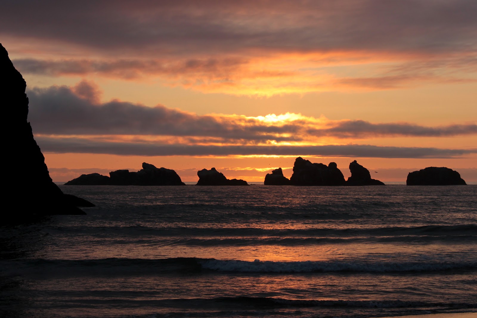
After dinner, Harold, Susan, Dollie and I strolled on the beach to work off the hamburgers and to enjoy the sunset on scenic Bandon Beach. The sunset did not disappoint and much photography ensued before returning to the motel. We went to bed early, as we had the trip in reverse to ride the next morning.

Sunset


So, the next morning, it was the same up and down the over the same 4 formidable hills in the same 46 miles. I think we cycle because it's fun, but at times I'm not sure how much fun we are having. Maybe it's for the sunsets...yeah, that must be it.
Oooh, aaaah...


Sunday, March 18, 2012

American River Parkway

They have funny road signs in Sacramento
The irony is that while in Sacramento to visit family (my oldest granddaughter, Leticia, was celebrating her 15th birthday), we spent a day away from family. We did have good reason, though, as the American River Parkway was calling our names. So we packed the bikes, snuck out of the house full of snoring relatives and drove over to Discovery Park, located at the confluence of the American and Sacramento Rivers.

Dollie on the American River Parkway
The ride began under mostly sunny skies, prompting us to wear shorts and light windbreakers. Oops. Within several miles, dark clouds blotted out the sun, blue sky, and any thoughts that spring might have just arrived. Just to hammer the point home that Madame Winter was in charge, the heavens opened up and pelted us with raindrops fatter and colder than a side of hand-fed pork hanging on a meat hook in a walk-in freezer. 

What is this, Oregon?


Just when I thought I was bordering on out and out discomfort, the hail started. That did it: we were officially miserable cyclists.


From personal experience, the rat-a-tat-tat sound of hail on a cycling helmet is really loud. Fortunately, a bridge materialized on the pathway, providing shelter from the watery barrage and we were joined by several other cyclists seeking similar protection from water in all its solid and semi-solid states.


Within a few minutes the onslaught let up and we cycled the rest of the way under intermittent cloud cover and rain squalls. But enough about the weather, the scenery on this ride was pretty terrific. The path was pleasantly level, if unpleasantly rainy, as it meandered alongside the substantial American River and through oak savannahs. 

Canada geese at the Pond pond

We stopped at the William Pond pond and observed the ducks and geese swimmng around, hoping for handouts. I pondered the question if the word "pond" was coined because William Pond was the first human being to witness one. Just think, if I had discovered a pond, everybody would be going to the Duck Richard behind Fred Meyer's. 
More wet weather coming in
We had originally intended to cycle the full 65 to 70 miles of the bike path but it was obvious that all the rain squalls we had endured were aqueous foreplay for an impending storm system. A wall of black clouds was coming in, casting random thunderbolts, and we had enough of this Oregon weather in California.  So we headed back the way we came for a 33 miler, filing this ride away for another time on a better day.

Sunny, rainy, sunny, rainy...

I didn't take a lot of pictures because I normally don't take as much when cycling, especially when my camera would get mad at me for subjecting it to the elements.