Showing posts with label philomath. Show all posts

Sunday, November 27, 2016

William L. Finley National Wildlife Refuge

Oh, I had such grandiose plans for this hike. By combining loop trails and roads, it was possible to cobble together a 12'ish mile hike through the William L. Finley National Wildlife Refuge near the small town of Monroe. But alas, "Closed for Winter Breeding" signs confined hikers to a small corner of the refuge and my 12'ish miler became a 6 miler instead. Oh well, I guess I'll have to come back at some future date and hopefully there'll be no spring or summer breeding closures to contend with.

Booga booga!
Dollie and I had hiked here many many years ago and my recollection was of large flocks of geese surrounding numerous ponds and swamps. Memory being what it is, that wasn't entirely accurate for the two loop trails I took this time out spent most of their miles inside lush oak and maple forest. There were a few swamps however, with miles and miles of boardwalk to keep feet out of them. I didn't see any geese, they were probably having a goose orgy in the closed section of the refuge. I know I would too, if I were a goose. And stop with the "But Richard, you are a goose!" comments already!

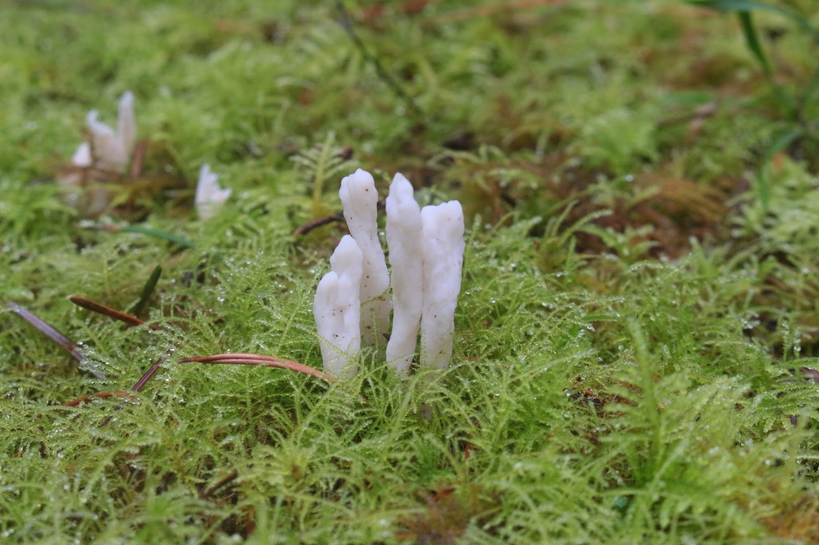
Staghorn fungus sprouting through the moss
The drive to the Woodpecker Loop Trailhead was interesting. The weather was not great what with cold temps, gray sky, and falling rain and all that rain collected in a marshy lowland which happened to be the same marshy lowland that Finley Road ran through. It doesn't take much water for my KIA to start swimming and Finley Road was quite the daunting challenge, being underwater with the brown water coming up to the bottom of the doors. I'm glad to say the car made the wade as I really sweated the outcome.

Some kind of view!
The Woodpecker Loop headed gradually uphill through a forest of scraggly and leafless oaks. A dilapidated wooden stand underneath a massive oak provided what would normally be a great view across the Willamette Valley. Clouds, mist, and winter breeding took care of the view on this day however, I'll probably have a greater appreciation for the panorama when I come back.

You had me at "Hill"
A short walk through a grassy pasture past some ponds of gray-brown water and a creek or two of the same colored water brought me to the Intertie Trail, a short path that connects the Woodpecker Loop with the Mill Hill Loop. Not knowing too much about the refuge, the "Hill" in Mill Hill appealed to me so off on the Intertie I went.

Boardwalks abounded


The forests are surprisingly lush which shouldn't be all that surprising given the amount of standing and running water underneath the trees. And equally unsurprisingly, all the standing water supported a healthy population of blackberry vines, ferns, moss, and assorted fungi. Didn't see any wildlife though, they were probably all having fun in the closed-off other three-fourths of the refuge.


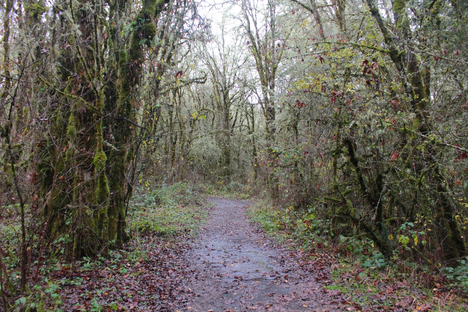
On the Intertie Trail
The trail was nicely picturesque as it wended its way through dense oak and maple stands. The path was carpeted with a thick layer of soggy dead leaves in an indication that the autumn display has to be quite colorful here. One more reason and season to come back for another visit!

Maze of branches
Disappointingly, the Mill Hill Loop did not go to the top of the hill, instead choosing to perambulate around the base. But the hits kept on coming as each new curve in the trail revealed more forest, dead leaves, and running little creeks. One such creek took over the trail and boots finally got both wet and muddy, always a sign of a good hike.


A swampy piece of Gray Creek
Below the trail was a basin full of leafless trees under a gloomy sky. The map said Gray Creek was down there but the creek was well hidden by the thick vegetation. When I finally got to see Gray Creek, it was easy to see how the creek got its name because the water was as gray as a zombie's complexion.


Refuge headquarters


For extra mileage, I grabbed a small loop that led to the refuge headquarters, a collection of ranch buildings with a sodden flag hanging limply on a flagpole. By this time the air was quite wet. It wasn't really rain but the atmosphere definitely had a heavy liquidity to it that had me wishing I'd brought the man-gills. Below the headquarters was what was termed the "display pond" although the only thing displayed was brown water.

Slipping and sliding on a muddy trail
A return to the Woodpecker Loop finished off this hike. After peeling off wet layers of clothing it was time to make the scary drive out. I again held my breath crossing the swamp over Finley Road but we made it. After the rains subside, it'll be a less risky drive which will be one more reason to come visit the refuge again.


Mill Hill Trail
For more pictures of this hike, please visit the Flickr album.


Thursday, July 24, 2014

Mary's Peak


It's been hot lately in Roseburg and I've been asking the weather gods to send us some cool weather and rain. So my pleas have been heeded and as I got soaked by the occasional rain shower and the wet vegetation encroaching the trail, I began pleading for another heatwave. Some people just can't be pleased. The response to my plea for heat was a cold wind blowing through my wet clothing on a recent hike to Mary's Peak. Some people just don't get heeded, either.


Wet and cold columbine
Mary's Peak tops out at a modest 4,097 feet and while she may be a small peak in the larger scheme of things, Mary does have the honorable distinction of being the highest peak in the Coast Range. Her proximity to Corvallis, Salem, and Eugene ensures she gets a lot of foot traffic and a road rambling round the mountain provides multiple trailheads and distances: the hikes range from the he-man 12.2 miler (2,000 feet of elevation gain), to the namby-pamby 1.2 mile (with a paltry 300 feet of elevation gain) version. I opted for the middle distance hike, but since it gained 1,600 feet anyway, I'm kicking myself a little bit for not doing the he-man hike.

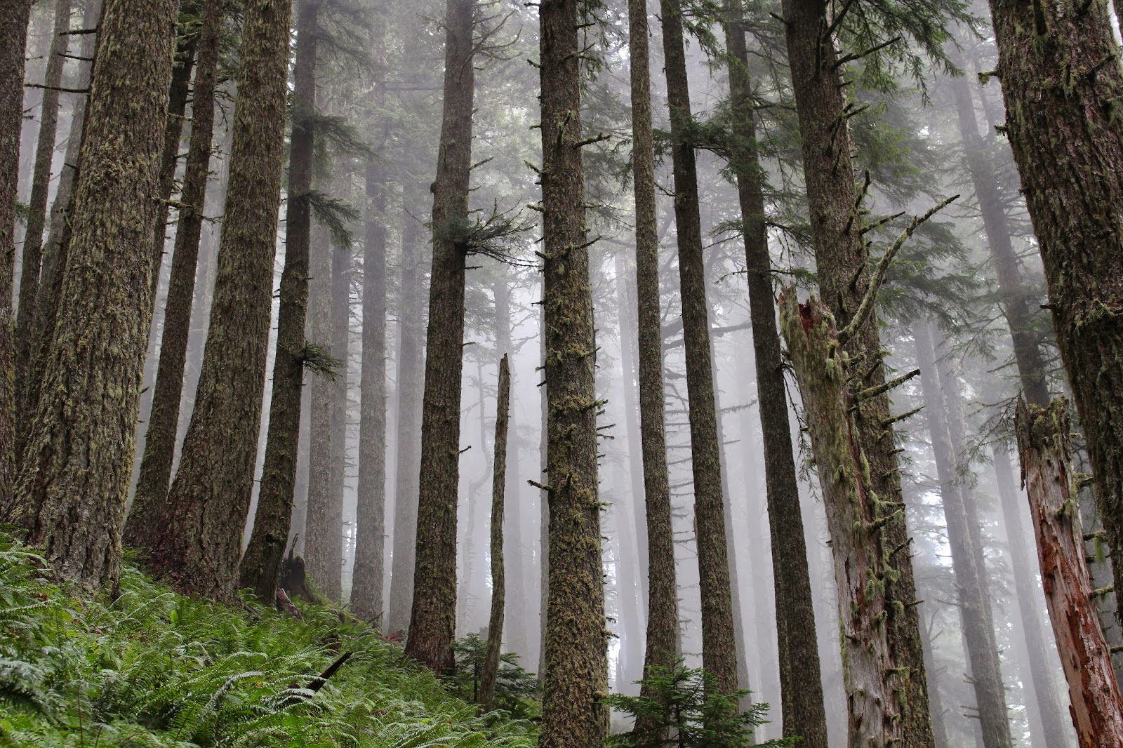
Forest on Mary's Peak
As I laced up my boots at the Connors Camp trailhead, the soft hiss of rainfall permeated the forest. The top of Mary's Peak was hidden in the clouds and I crossed my fingers, hoping the clouds would clear as the day wore on. The forest was absolutely lush what with vine maples arching over the trail while salal, ferns, and Oregon grape drooped over the trail, making sure my legs got wet. As previously stated, Mary's Peak sees a lot of use but on a rainy mid-week day, not so much; I ran into only two other hikers on the trail and pretty much had the entire mountain to myself.

"I'll keep an eye out for you, maybe two!"
Although the trail gained 1,600 feet, the grade was never overwhelming and tendrils of fog wrapped their moist fingers around mossy tree trunks. Occasionally, the cloud cover would momentarily break, the blue sky and bright sun was jarring but the warmth was welcomed by this cold and wet hiker. All the moisture in the air, ground, and vegetation pleased the slugs which were on the trail in slimy sluggishness.


View from the summit meadow
The payoff on this hike came about a mile before the summit when the forest abruptly ended and the trail sidehilled across a grassy slope. The clouds were still hanging around but at an elevation higher than the peak. The patchwork farmlands surrounding Philomath and Corvallis were visible, resembling a quilt tossed over the sleeping earth by Mary herself. You are supposed to be able to see the Cascades all the way up to Mount Ranier on a clear day, but I was glad to be able to see as much as I did on this dreary and mostly gray day.

Incoming cloud
The actual summit of Mary's Peak was somewhat anticlimactic as it had several microwave relay dishes on top. A trail led away from the electronic gear to the summit meadow and I headed down to the meadow loop trail in search of some extra mileage. After a short walk through a forest comprised of bluish Noble fir, the trail crossed the Mary's Peak Road and now I was confused. Per my map, there should be no road crossing and I had somehow wound up where I originally crossed the road when I neared the summit. In hindsight, I needed to take the trail that was marked "campground" for the meadow tour; oh well, now I'll have to pencil in a return visit.

The summit was all about the meadows


Now that I was reoriented, I grabbed the trail leading up and over a grassy hill and dropped down to the observation area.  The observation area is as far as one can drive a car and sports a northward viewpoint, a picnic bench, and an overlook of a very large meadow. Of course, when it's cold and wet, the parking lot is bare and bereft of cars and hikers. Still looking for extra miles, I grabbed the trail dropping down to the Tie-in Trail, a trail connecting the North and East Ridge trails.


Salal flowers
The trail was predictably lush and if you like the color green, then you'll just love the Tie-in Trail. Even though it was mid-afternoon, the light had darkened considerably, that statement being empirically proven by the fact I had to crank up the ISO settings on my camera. Walking through a wet and lush forest was the sum and total of my existence for the next three miles before arrival back at Connors Camp.

Green was the color of the day
This was a neat hike and my first visit to Mary's Peak was most enjoyable. I think next time, I'll do the he-man hike and hopefully it'll be warmer than it was on this day. Oops, there I go again about the weather!

Indian pipe
For more pictures, please visit the Flickr album.