

Mount Yoran is a comparitively smallish pinnacle that has the misfortune of eternally standing next to
massive Diamond Peak. Anywhere else, Mount Yoran would be an impressive peak in its own right but whatever
stature it may have had gets eclipsed by the imposing geologic marvel that is Diamond Peak. At the feet of both Diamond Peak and Mount Yoran lies Yoran Lake, and all
things Yoran have the misfortune of being so named because I always trot out the
hackneyed one-liner “That one’s Yoran and that one’s his’n!” I’ve
got a million of them folks, and that’s why I hike alone a lot.
 |
| Penny demonstrates a case of the eebie-jeebies |
We (Friends of the Umpqua) began hiking from the Trapper Creek
Trailhead, where signs advised that the
log bridge over Trapper Creek was damaged and as a consequence, closed.
Naturally, we all hiked past the sign and across the one-railed bridge, some of
us sure-footed as mountain goats and others as wobbly as dizzy drunks fresh off a merry-go-round. The bridge did
have some damage but did not particularly look or feel structurally unsound. It spanned
rushing Trapper Creek coursing about fifteen feet below, and the exposure engendered by
the narrowness of the log and the lack of a handrail on the right side gave
some hikers the eebie-jeebies but we all made it safely across without incident.
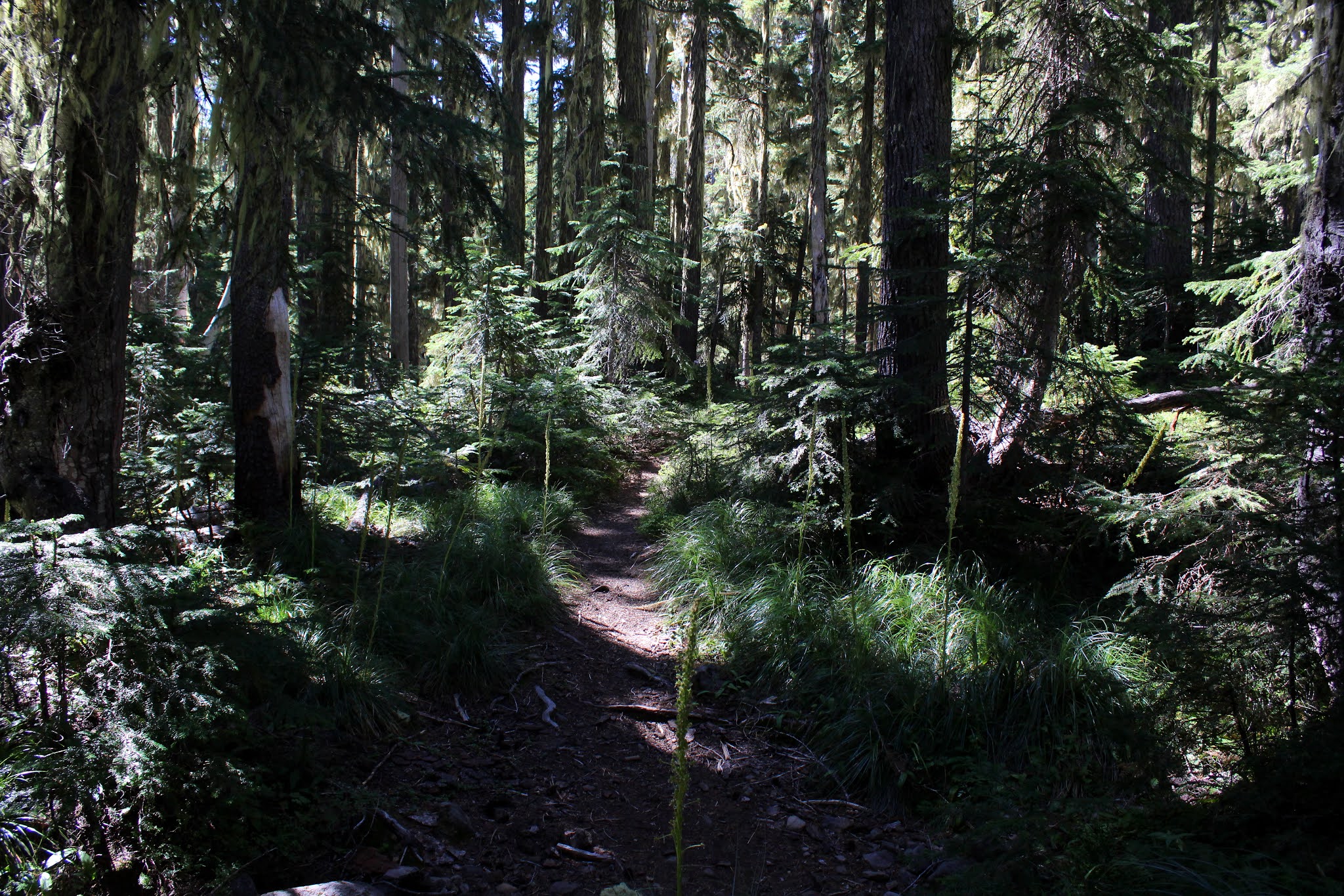 |
| The forest sublime |
Once past Trapper Creek, our
route inclined uphill through a lush forest and that was the story for the next
four miles or so. Also a theme of the hike were ripe grouseberries. These small
red berries are a member of the huckleberry family and although the berries are
much smaller than their delicious cousins, I daresay the grouseberries have a
much sweeter flavor. I can say this because along with my friends, grazing
and sampling the berries growing on the low plants was a thing for the
entire hike.
 |
| Just another lake next to the trail |
At about the three-mile mark, a
side trail took us to an unnamed lake near the trail. I’m not sure why the lake
has been deemed unworthy of a name, for it was fairly large, blue-watered, and somewhat
photogenic. It was the first of many such lakes seen on this hike, most of which
were also unnamed. It was here that mosquitoes began to make their pestering presence known, which stands
to reason, given all the water just standing in the forests below Diamond Peak.
 |
| Perfect view of Yoran Lake and Diamond Peak |
Next up was Karen Lake and after
a brief visit there, it was just a short walk over to Yoran Lake, the crown jewel in
the day’s lake tiara. What Yoran Lake has that all the other lakes don’t is a
postcard view of Diamond Peak looming over the blue lake. A steady breeze ruffled up the
lake’s surface so there was no photography of the mountain reflecting upon the
surface today, but the view was awesome nonetheless. In tribute to the lakeside vista, we all plopped down on
the sloping banks and ate lunch while also partaking of the incredible scenery.
 |
| Penny becomes a temporary PCT through-hiker |
Several years ago, Kevin, Dale, and I backpacked in this area and we at this point, had to bushwhack cross-country to reach Lils Lake
and the Pacific Crest Trail. Nowadays however, a maintained and bonafide trail connects lakes Yoran and Lils so I'm sad to say no navigational challenges presented themselves on this day. Once we hit Lils Lake with Mount Yoran looming high on the western ridge
line, it was just a short walk up to the Pacific Crest Trail.
 |
| The Hidden Lake inspection crew |
There were all manner of small
ponds, wet spots, swamps, lakelets, and other erstwhile mosquito hatcheries next to the
trail, too numerous to mention even though I just mentioned them. The first lake
worthy of a name was Hidden Lake and after taking the short path to the lake, I
wondered why it was named Hidden Lake, because we easily found it.
 |
| Message board of sorts at a PCT backpack campsite |
The next several miles were a
pleasant descent through a very well shaded forest, increasingly appreciated as
the day warmed up. Also, as we lost elevation, the mosquitoes became less and
less of a nuisance, which was also appreciated. There were two more named
lakes, Arrowhead and Midnight, and we paid a visit to each in turn. Arrowhead
Lake is so named because it does resemble an arrowhead when seen on the map and
Midnight is so named because of some reason unbeknownst to me. Maybe it’s
shaped like midnight.
 |
| Shoreline at Karen Lake |
It is possible to return to Trapper Creek from the Pengra
Pass Trailhead via trail, making for a 12ish mile loop hike but we did this as a shuttle, ending our venture at Pengra Pass.
Still, we got in nearly eleven miles of hiking, six mountain lakes with a
name, and something like sixteen hundred six lakes without. Not bad for a day’s work. Plus, I
got to use the “That one's Yoran and that one’s his’n!” line on some unsuspecting hikers who had to put
up with me since I had the car and keys.
 |
| Midnight Lake in broad daylight |
For more photos of this hike, please visit the Flickr album.
Back in June my hubby and I camped at Odell Lake and we hiked a couple of miles up the Trapper creek Trail (and got eaten alive my mosquitoes!) I saw the trail with the "bridge out" sign and wondered what it was like. Now that I know, I'll have to bookmark this hike for next summer!
ReplyDeleteThe bridge was sorely abused but the abuse was on the railings and the bridge itself was fairly solid. Some of our group was squeamish about walking across but you can ford the creek by using the horse trail.
Delete