New trail! That's all I need to hear and I'm in. The new trail in question was a loop route from Road's End State Park (in Lincoln City) to God's Thumb and back. Basically, people were hiking to God's Thumb anyway, but by way of hiking across and parking on private property. Fortunately, the Lincoln City Parks Department stepped in and installed a legal path to the Thumb. Because they want us hikers to play nice with the neighbors, they ask you begin at nearby Road's End State Park and access the trails via a short walk on city streets. There aren't any signs directing out of town hikers which way to go and as I laced up my boots at the park, a steady stream of would-be hikers stopped to ask me if I knew how to get to God's Thumb. Ever the smart aleck, I wordlessly pointed down the Oregon Coast and there it was: God's Thumbnail (only the upper portion of the Thumb was visible) waving in the breeze from several miles away, forever thumbing a ride into our hiking hearts.
 |
| Not bad, for a road walk |
Despite the request to begin hiking at Road's End (and boy, do I approve of that name!), I think I was the only one complying with the play-nice rules. Basically, you cross the street from the park entrance and grab gravel Sal-De-La-Sea Road. Even though this was a city road, it was eminently quiet and I saw nary a car during my short stay on the road.
 |
| Can't see the forest for the trees |
About a mile up the road, there is a trailhead that according to a map on a signpost, hooks up with the trail to God's Thumb, possibly making this a more reasonable 6 or 7 mile loop. However, my set of instructions pertained to the shorter 4.5 mile loop and I didn't feel like toting the signboard and post with me on a longer hike. So, onward and upward on the gravel road to the upper trailhead I went. At least the woods were pretty, with a mix of conifer and leafless alder trees flanking both sides of the gravel lane.
 |
| A rare level stretch of trail |
Right where the road turned from gravel to dirt, a small path forked off to the right and from now on, I'd be hiking on a real trail. This section of trail was a former road bed and it just charged straight up the hill with nary a pretense of switchback, about as subtle as an exploding stick of dynamite. Before long, leg muscles were screaming with the sweet agony that comes with hiking up a steep trail. It was great!
 |
| View from the grassy knoll |
Screaming leg muscles were given a rest at the top though, by taking a side trail to a grassy knoll for the first of many scenic overlooks on this trail. Lincoln City, Devils Lake, and the Oregon coast stretching out all the way to Government Point: under a gray and brooding sky all these geographical features lay below the knoll like on oversized 3-D rendering on a gigantic atlas page. Such a view required a lengthy and contemplative appreciation so I indelicately plopped down in the damp grass and did that very thing.
 |
| Columbia windflower, nowhere near Columbia |
If I thought the trail coming up here was steep, that was nothing compared to the trail leading to God's Thumb from the knoll. The only good thing was that I was going down it instead of up. I met other hikers coming up, though, and most were red-faced and not smiling. The slope was heavily forested and Columbia windflower and candy flower were blooming along the steep trail.
 |
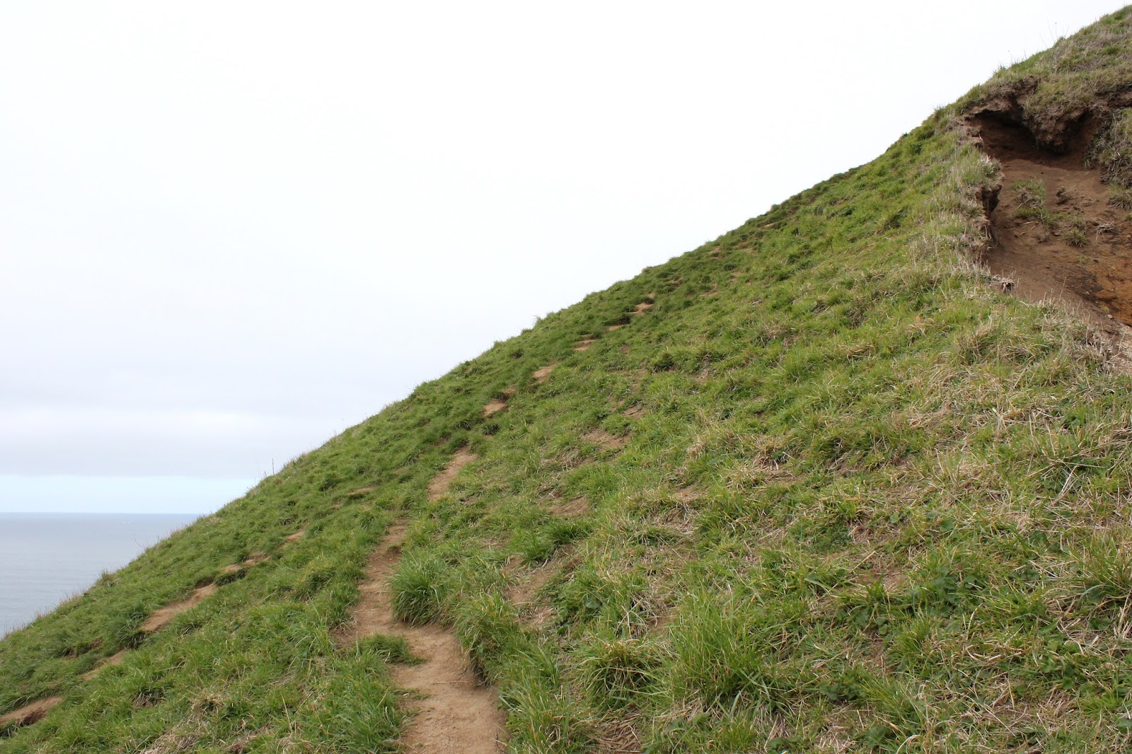
| Scenic little meadow on a ridge |
The trail bottomed out on a meadowed saddle, the meadow ringed with white-trunked alder trees leafless and twiggy. Unfortunately, I also had a clear view of the trail leaving the meadow, climbing straight up a grassy hill before disappearing into a forest where, no doubt, more uphill hiking awaited me.
 |
First look at God's Thumb
|
It wasn't too bad though, mostly because the steep portion was short and besides which, the forest comprised mostly of alder had it's own little charm, best observed bent over with hands on knees, while simultaneously panting heavily from exertion. A short little climb over a grassy slope bordered by a dense thicket of leafless and twiggy salmonberry, provided the first view of God's Thumb about a half mile ahead.
 |
| Dizzying view from the edge |
The Thumb is a small promontory atop a large cliff directly above the sea. To the right, the ridge and thumb were abruptly edged by a sheer drop-off, the Thumb seemingly chopped off by the meat cleaver of the gods. Resembling little ants from a distance, hikers were coming and going, or atop God's Thumb itself. There were no trees, it was all windblown grassy slopes and my little trail hugged the edge of the drop-off, descending rapidly before ascending up to the summit in equally rapid fashion. I tell you, trail designers will NOT go to heaven!
 |
| Faint path on God's Thumb |
Picking my way very carefully so as not to trip and fall to the right, which would make this my very last blog entry ever, I made my way down to the saddle below the Thumb. The views were tremendous but I didn't really look, choosing to concentrate instead where I placed my feet. A woman was butt-scooting down the hillside from the thumb and hikers behind me and several coming up from the lower trailhead turned back at this point. Actually it wasn't that bad, but you do have to be be careful and deliberate.
 |
| Lincoln City, from the summit |
The views were simply tremendous and magnificent from the summit. Same old awesome view to the south with Lincoln City and the Oregon coast stretching out to Government Point on a gray day. To the north was Cascade Head, resembling a larger version of God's Thumb, with the Salmon River estuary separating the two promontory landmarks. The mountains above Cascade Head disappeared into the clouds; I imagine the view would even be better on a sunny day. Probably the summit would be crowded on a sunny day, too. Anyway, the summit was just the perfect place to eat lunch, rest, and generally contemplate the meaning of life.
 |
| I'm so sorry, dear boots of mine |
The lower trail is also the shortest route to God's Thumb and naturally, was quite busy with hikers coming up from the lower trailhead. The rough footpath wandered through woods facing the ocean and the recent rains had made the track exceedingly muddy and slipperier than an eel bathed in snot. Boots were most definitely harmed in the hiking of this hike. Because most hikers were tennis-shoed and be-sandaled "casuals", the trail braided as hiking amateurs desperately forged alternate paths to get around the muddy spots. Not me though, I just waded through the mire.
 |
Beach at Lincoln City
|
A brief road walk from the lower trailhead led me to a staired beach access and from there, it would just be a simple beach walk back to Road's End State Park. Lincoln City is rather touristy so the beach was fairly well populated with runners, kite flyers, surf waders, and at least one hiker with muddy boots who was quite happy to have gotten in a hike on a new trail.
 |
| Salmonberry blossom |
For more pictures of this hike,
please visit the Flickr album.
Note: The route is not marked at all and there are several trail junctions you want to make the correct turns on. Follow this
link to a newspaper story that has a blow-by-blow description of the hike. It's the guide I used and I'll vouch for its accuracy.


Someplace I'd like to hike, so thanks for the info!
ReplyDelete