

My planned hike to Nip and Tuck Lakes got summarily nipped and tucked. I had really enjoyed my last two hikes to the lakes; so much so, that I penciled in yet another hike there onto the Friends of the Umpqua's calendar. Unfortunately, before we could consummate the hike, a lightning storm swept up and down the Cascades leaving numerous wildfires in its wake. One such fire was inconveniently located near the Windigo Pass trailhead, putting an end to any hope of taking my friends to the lakes. The coast was currently not on fire, so Bullards Beach State Park became the replacement destination for no other reason than just because.
 |
| Map of the hiking route |
Prior to the official hike, I went out to the area to scout out a route that would involve the park's horse trails through the dunes and woods. The route cobbled together for this outing was a clockwise loop involving Cut Creek Trail, North Loop, Three Mares Trail, Pearls Loop, and the mostly paved path between the campground and beach.
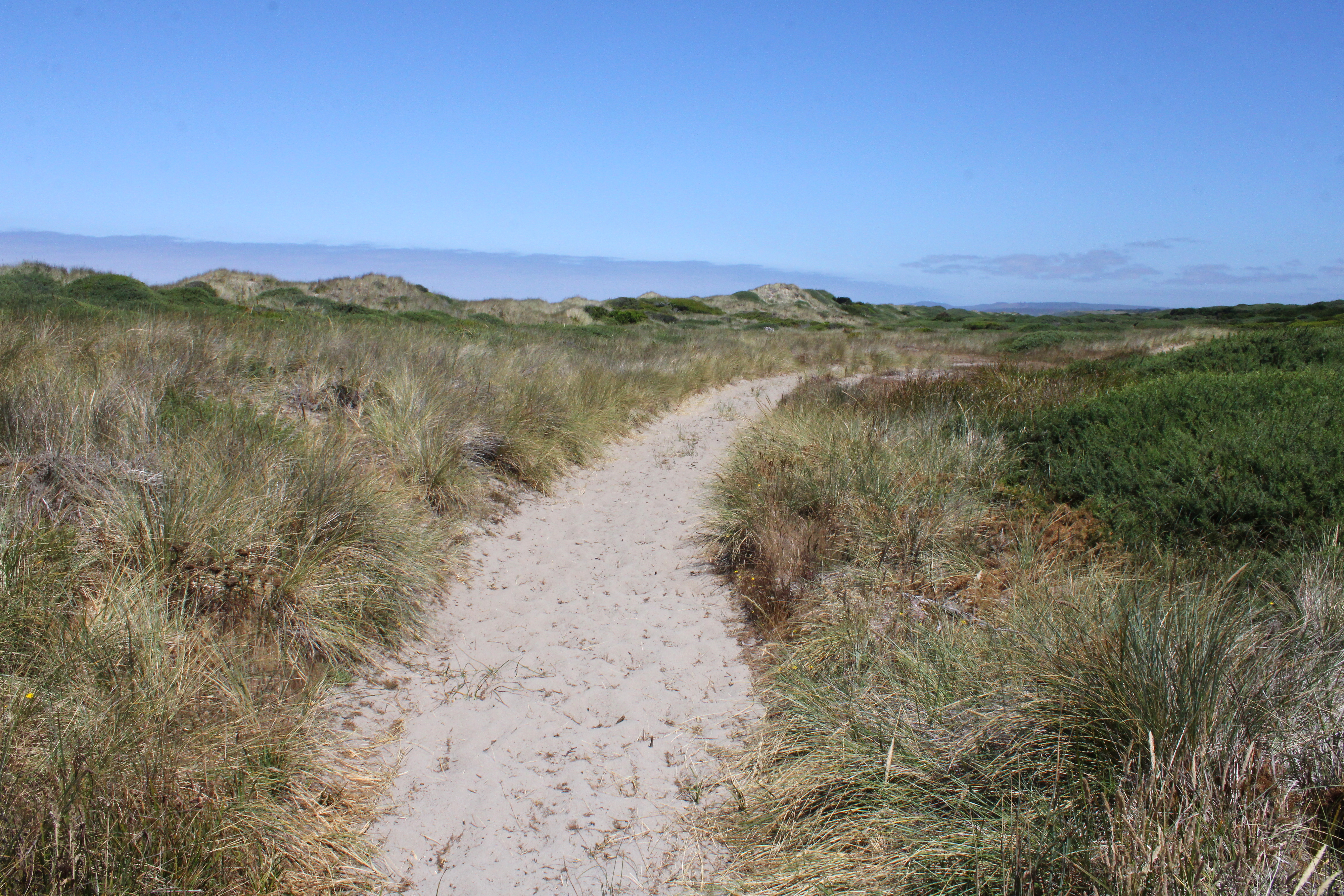 |
| Sandy track through the beachgrass |
I had been on the Cut Creek Trail before but that had been in February and pretty much all of the trail had been underwater then. However, the warm summer sun had evaporated all the water that had been standing on the Cut Creek Trail during my last visit there. On this current outing, the new travail du jour was soft sand, miles and miles of soft sand that had leg muscles feeling the burn in no time flat. My people are going to kill me.
 |
| Almost as lethal as deer |
Hiking all by myself in the middle of the coastal woods, I was happily lost in my own little head when a deer with a large rack of antlers jumped onto the trail in front of me, and then bounded away in panic around a bend. After performing some self-CPR to get my heart restarted, I resumed walking, wary of any other large creatures leaping onto the trail. The funny thing was that the path was surrounded on all sides by chest-high banks of "impenetrable" gorse, yet the stag had no problem disappearing into the thorny greenery.
 |
| The trail heads inland away from the beach |
After a mile or two, the shady woods that I had been trudging through began to transition to grassy and shrubby hinterlands inland of the beach foredunes. Small trees dotted the grassy landscape in an advertisement of the forest to come, the now and present being dominated by beachgrass waving in the wind.
 |
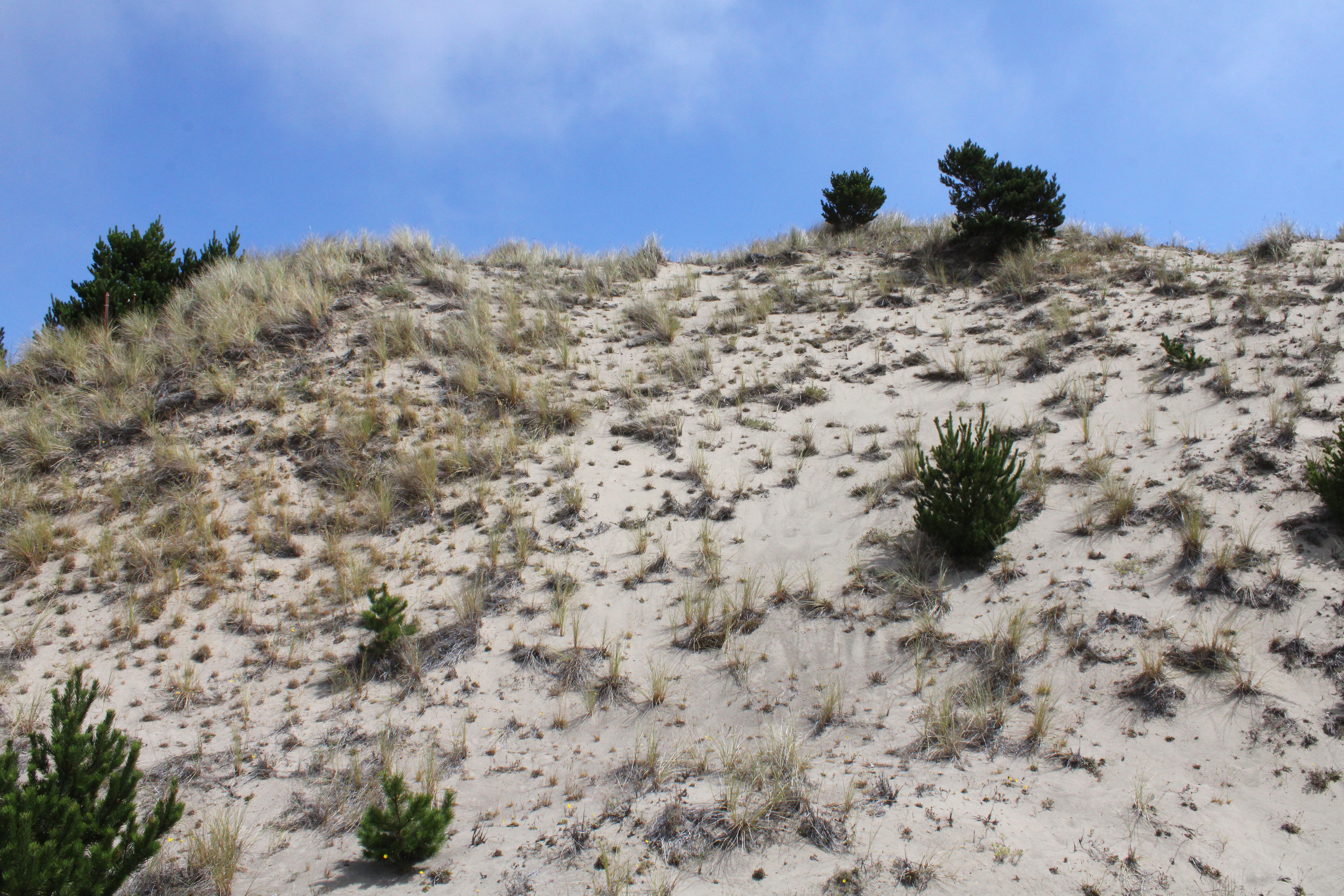
| Some of that dune scenery |
The Cut Creek Trail came to an end before actually reaching its namesake creek. From there, I backtracked to the North Loop Trail which then led away from the beach through a series of dunes and woods. But all I cared about at that point was that soft sand which, if anything, had gotten softer in the dunes. At least it was getting hot, and yes, that is sarcasm.
 |
| Love walking in soft sand? If so, then you'll love this hike! |
After that hot-hiking-in-the-dunes experience, I showed the hiking club some mercy, taking them in a counter-clockwise direction so as to beat the heat in the morning. As we marched, if trudging in soft sand could be called marching, it was actually a pleasant hike, given the cool air and deep blue sky above.
 |
| Part of the club hike went through open meadows |
As is our wont, the group had spread out along the trail and we all regathered at a grassy mound that overlooked Cut Creek. We couldn't really see the creek itself, just the valley that the creek had carved out through the dunes while on its way to the nearby ocean. Rampant vegetation had taken over the valley and no doubt Cut Creek was flowing somewhere within.
 |
| After lunch, we headed to the beach |
As we lunched at the overlook, tendrils of mist started wafting through the trees and grasses. A fog bank had been hanging out over the ocean all morning but now it apparently wanted to envelop the coast in its gray and ponderous embrace. That was our cue to don packs and recommence hiking.
 |
| Life's a beach, even if you can't see it |
Because I am such an awesome hike leader, we walked on the beach instead of on the two-plus miles of soft sand ever so ready to make leg muscles burn on the Cut Creek Trail. However, the fog came in thick and visibility was such that as we hiked on the beach, we could see neither surf nor foredune. A band of horseback riders trotted by, looking like a spectral posse from the underworld. All we could see was gray and I briefly thought about making everybody hold hands so as not to get lost.
 |
| My comrades begin to doubt my leadership qualities |
The exits off the beach are labeled with large yellow signs, enumerated according to mile number. However, we really couldn't see them in the thick fog so I kept checking my GPS to monitor our progress. Fortunately, the fog lifted a bit as we neared the Coquille River and there was no mistaking the sign for Exit 147, which is where we needed to get off.
 |
| John partakes of King Neptune's pedicure |
We did get seven miles of hiking in and while the route may not have been the most spectacular in the world, it sure beat hiking in the middle of a forest fire at Windigo Pass.
 |
| And they were never heard from again |
For more photos of this hike, please visit the Flickr albums (Cut Creek Trail to North Loop and North Loop to Bullards Beach.
No comments :
Post a Comment