There's a pipe-dream plan percolating in my head for a future backpack trip. It begins with the Rogue River Trail, always a favorite go-to backpacking destination of mine, but once the forty mile hike ends at Foster Bar, why stop there? In my fevered imagination, I'd continue hiking about fifteen miles on the paved road to the small hamlet of Agness, and then resume trail hiking on the Lower Rogue River Trail. When that fifteen'ish mile long trail is summarily dispatched by my hiking boots, then it's like another fifteen miles on a gravel road to Boulder Bar on the Rogue River, where the Rogue River Walk begins. Finish the five or six miles of the Walk and toss in a four-mile road walk to Gold Beach, and that ends this (gotta do the math, now) close to one-hundred mile long hike from Graves Creek to Gold Beach. I probably would have to do this one by myself because my friends tend to lose interest when they hear the phrase "close to one-hundred miles", but it truly would be epic!
 |
| Alder trees reach for the sky |
The Rogue River Walk is just one small piece of that ambitious would-be trek and has a unique history, having been created and built by a small army of volunteers from mostly the birding crowd. The Walk is located near the town of Gold Beach, about five miles upstream from the actual mouth of the Rogue, where the river is wide and fairly tranquil looking when compared to the wild river found further upstream on several of the aforementioned trails. Apparently, birds hang out on the river here and the observation of the avian wildlife is the reason this trail even exists at all. Unprincipled hikers are grateful for the birds and birders creating this trail system and have no problem using the trail just for hiking on with nary a hoot about birds.
 |
| Wild iris graced the path |
On the Gold Beach end of the Walk, the trail begins across the street from the former site of a large lumber mill, the concrete and pavement still visible at the mill complex, although none of the buildings or machinery remain. My plan was to hike to Boulder Bar and back, which would be about ninety miles shorter than the ambitious route discussed above.
 |
| Red bishop's cap was spotted next to the trail |
The day was warm, sunny, and cloudless. At the trailhead, a tall blueblossom tree, a member of the ceanothus family, was in full bloom and the air was heavy and redolent with the sweet perfume emanating from the mass of blue blossoms. Branches were heavily laden with flowers and the sound of buzzing bees busy harvesting pollen serenaded me as I set foot on the trail and began hiking. The trail is pretty rough cut here but stairs aid in the quick and steep descent from the roadway down to the river. Stairs also assist on the steep climb back up to the roadway too, an event that took place after only a quarter-mile or so of hiking! What?
 |
| A horsetail provides some tie-dye art |
I sure hope the birding at this spot is awesome, otherwise that made little or no sense to me. But the trail did resume again after a very short road walk to the next trailhead. I think this is what happens when birders, and not hikers, build trails and no offense intended to my feather-loving friends. The "real" trail begins at the second trailhead, in my opinion.
 |
| "Get thee gone!" she screamed |
The birding aspect of this trail was readily made apparent when I walked under a tall fir with a sizable osprey nest perched atop it. It was an active nest too, and Mama Osprey was not at all happy with my presence in the vicinity thereof. Shrieking as stridently as an ex-spouse, she gave me the business and escorted me away from her tree as I did my best to quickly vacate the premises before I got dive-bombed by a furious and irate creature lethally armed with beak and talons. The rest of the hike turned out to be much more peaceful, fortunately.
 |
| Star flower played a starring and flowering role |
Spring was in full song and a virtual floral tabernacle choir was delivering a full-throated anthemic paean to commemorate the season. Seemingly, every color was represented what with blue flax, red bishop's cap, yellow woodland violets, and white thimbleberry all blooming next to the trail.
 |
| How Jim Hunt Creek got its name |
Jim Hunt Creek was running pretty full so the summer route across it was not yet doable. Fortunately, an on-trail detour around the flowing stream exists and it was an easy walk to get up and around the creek flowing through the woods surrounding both creek and river. Here, the trail braids quite a bit, providing different birding loops for those so inclined. For those not so inclined, the loops still provide some great hiking through the lush vegetation and rampant greenery growing along the river.
 |
Coyote Bar is large enough to
force the river to bend around it |
Occasionally, breaks in the growth allowed for some truly awesome postcard views of the Rogue River surrounded by lesser peaks of the Coastal Range. Further upstream rose the much taller Siskiyou Mountains, from whence the Rogue River sallies forth. This time of year, the river was running wide with spring runoff and the river waters were colored a distinctive blue-green hue. Coyote Bar, a very large rocky shoal created by an 1890 flood, was eminently visible below the trail as the river curved around it. It seemed like at each and every photo stop at a river overlook or viewpoint, startled ducks flew away in quacking panic.
 |
Ah, the sweet fragrance of a grove of laurel trees
Too bad you can't scratch 'n sniff this photo! |
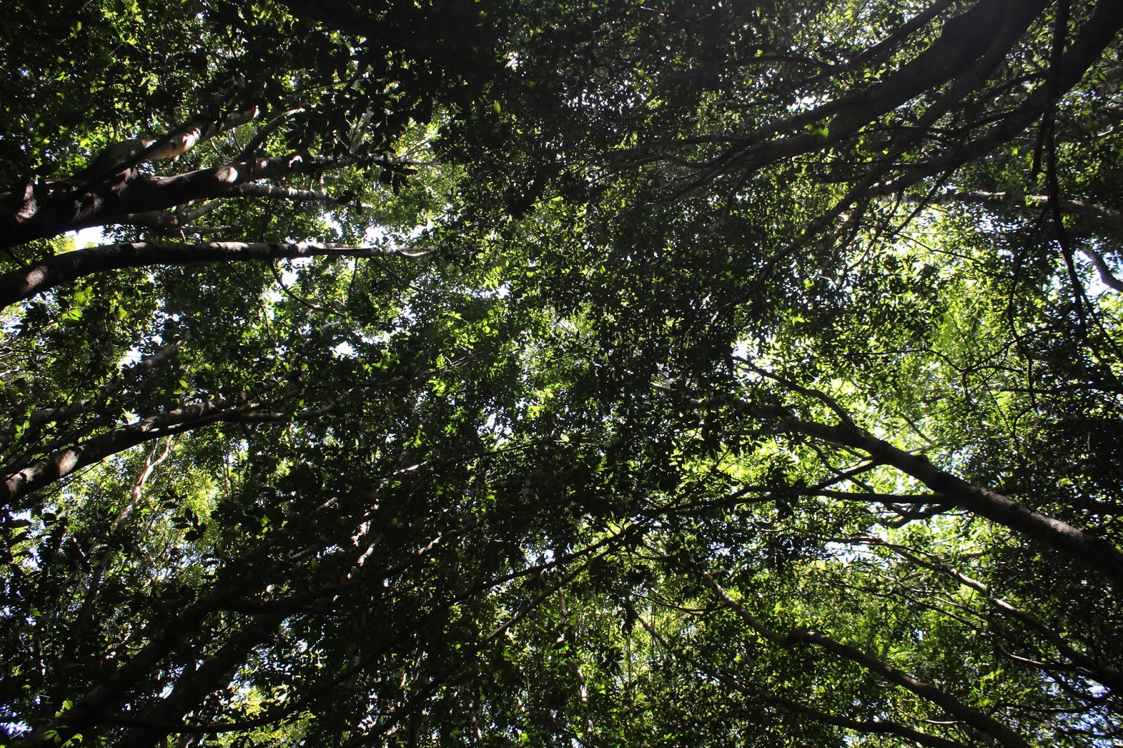
For me though, this hike was mostly all about the laurel trees despite the magnificent river scenery. The trail wandered through a substantial grove of them and the trees were huge. The dense canopy allowed very little sunlight to penetrate down to the forest floor and I had to kick up the ISO setting on my camera to compensate for the lack of sunlight. Where sunlight did actually manage to filter down to ground level, there were lush grassy mini-meadows and veritable shag carpets of oxalis leaves. The shade was wonderfully cool on a warm day and the fragrance of the laurels was simply intoxicating. And all this went on for a blessed mile or two!
 |
| Zen moment with ferns and trail |
At the three-mile mark, the trail left the wild woods and entered civilization in the form of Huntley Park and its campgound. But not to worry, the trail resumed on the other side of the park and I was back in business on a steep trail that climbed away from the park back to the roadway above.
 |
| Tough rock-hard galls of some sort |
At the high point of the hike, I sat down on a log to take a breather and noticed some black fungal type thingies growing on it. However, when I tapped on them, they were as solid, hard, and unyielding as black diamonds. What were these things? I picked up a rock and cracked one open and it was full of bug tunnels, sans bugs. Probably it was a gall but not one I'd ever seen before.
 |
| You just have to love this shady trail |
Unfortunately, continuing on the trail required a road walk before the next trailhead appeared. And shortly after resuming the hike on actual trail tread, a sizable patch of downed trees blocked the way. I called it good at this debris-filled spot and turned around, happy with a 7.4 mile hike.
 |
| A veritable shag carpet of green |
I got to enjoy the stupendous river views, colorful wildflowers, and healthy exercise all over again on the way back. I also got to enjoy the deep shade underneath the laurel trees with the sweet laurel scent permeating the very air in the forest. I just wanted to sit down and stay in that forest but then I'd have to contend with Mama Osprey for that privilege.
 |
| Not much sun makes it down to the trail |
For more pictures of this hike,
please visit the Flickr album.


No comments :
Post a Comment