Not every hike gets to be epic. This hike wasn't even the planned activity for the day but when Cathedral Hills didn't work out as planned, a quick ad-lib hike in idyllic Briggs Valley became the stopgap Plan B destination. Once on the trail there, things didn't work out as planned, either. "Oh well" he said, sighing resignedly and loudly for theatrical effect.
 |
An old-growth Douglas fir tree
dwarfed all the neighboring trees |
So we have this pandemic thing going on and Oregon did not have a mandatory stay-at-home order...yet. But based on what I observed at Cathedral Hills, the governor will have no choice but to issue one because our state is populated with idiots. Because of the coronavirus, we really need to stay apart from each other. From my little corner in the Oregon sandbox, it seems like hiking would be a good way to stay healthy while simultaneously avoiding large groups of virus spreaders, also known as "people". But when I arrived at the Cathedral Hills trailhead in Grants Pass, I was horrified to see the parking lot full, with an overflow of dozens of cars parked along the roadway. In the parking lot there was, and this is no exaggeration, at least thirty people congregating in the small lot, made smaller by the throngs who feel that social distancing does not apply to them. These idiots will kill people with their stupidity and selfishness.
 |
| A mossy bed fit for leprechauns |
Horrified and scared, I quickly drove away from the trailhead and began thinking about what else to do, since I had driven all the way to Grants Pass. The Rogue River Trail and Rainie Falls were ruled out since it was doubtful that Cathedral Hills had a monopoly on attracting knuckleheads who don't care about public welfare; the Rogue River area was probably a popular place this weekend too. Taylor Creek was ruled out because I'd been there twice last year. So, a hike in Briggs Valley it was, simply because I hadn't been since I hiked there like fifteen years ago.
 |
| Never did make it to Elkhorn Mine |
I found the trailhead just fine, so I decamped from the car and got ready to set out upon the trail. Because this was not a planned hike, there inherently were a few problems with making a spur-of-the-moment decision to hike here. First, I had no map with me. Well, that's not quite true, I did have a really good map of the Cathedral Hills trail system but that wasn't going to help me with the Briggs Creek Trail. Second, the batteries in my GPS gave up the ghost and I had no spares, so I'd be geographically clueless in terms of where on the trail I was. Third, although I'd hiked this years before, it was so long ago I retained no knowledge of where the trail went, which junctions to turn at, etc. Looks like I'd be hiking blind, and what could possibly go wrong?
 |
| Briggs Creek at one of several wet fords |
Well, a lot could go wrong so to prevent my getting lost or misplaced in the woods, I decided to stay on a well-defined trail and if I ran into intersections, I photographed them for future reference, just in case. As far as which way to go should there be any trail junctions, I would choose the trail that stayed closest to Briggs Creek. If things got confusing, then I'd turn around instead of blundering on forward. Armed with these precautions and a healthy dose of inconfidence, I set out upon the trail.
 |
The scars from the Taylor Creek
Fire were everywhere to be seen |
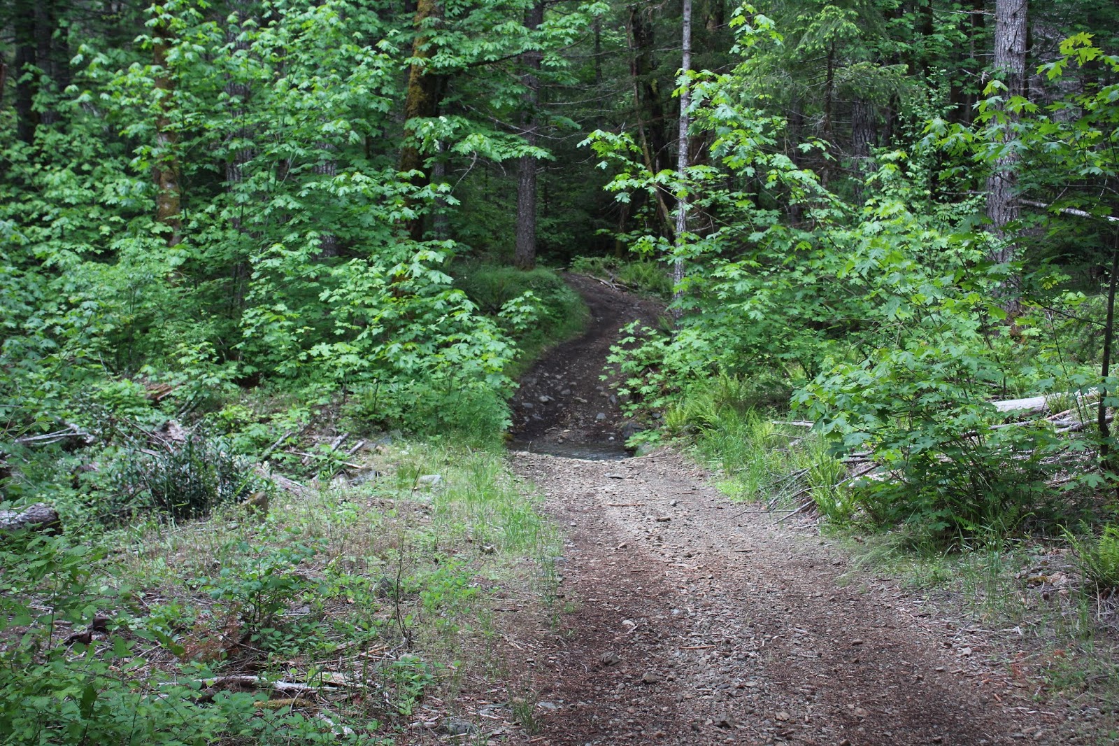
The Briggs Valley area was right in the middle of the Taylor Creek Fire burn area from a couple of summers ago and while there were plenty of live trees still standing, the fire scars in the form of dead or singed trees were visible throughout the hike. The trail initially was a forest road with a stand of dead trees on the right side and a lush and verdant stand on the left.
 |
| Trail through the shade and vegetation |
It didn't take long before I had to make a decision. After about a quarter-mile of hiking, the Briggs Creek Trail crossed the road and now do I go left or right? Left was toward the campground area, so right it was where I got to make the first of a couple of fords of Briggs Creek. Once across the creek, the trail basically followed the rushing stream through some lush and shady woods comprised of yew, fir, cedar, pine, laurel, madrone, and oak in what is a typical Siskiyou Mountains mish-mash of tree species.
 |
Oaks toothwort was plentiful along the path
|
After a half-mile or so of enjoyable walking, the trail exited the woods on a forest road that looked like it hadn't been used much. Again, left or right? I did both, walking on the road in either direction, searching for a continuation of the trail. Never did find it, so it was time to be smart and go back the way I came. After looking on a map later at home, I had needed to go left and walk a little bit further than I did, but that's what happens when you have no map, GPS, or knowledge.
 |
| The trees watch me make good choices in the woods |
After recrossing Briggs Creek, I took the trail that rambled in back of the campground area. I also ran into another trail junction with the same ongoing right-left choice of trails. I went right and a short walk later, the trail ended at a log jam in Briggs Creek. Behind the log jam, the creek pooled and reflected the surrounding woods nicely. I suppose I could have waded and searched for a continuation of this trail but I'll refer you to my previous comments about making smart choices in the woods.
 |
| Sam Brown's Meadow |
So back I go, taking the left trail this time and that path led to Sam Brown Meadow. After all this shady forest time, the bright sun and blue sky over the large meadow was a welcome sight. At a large picnic pavilion off to one side of the meadow were a couple of informative signboards. Apparently, when gold was discovered in Briggs Creek in the early 1870's, the boomtown of Briggs sprung up complete with saloons, a hotel, and at least one brothel. Sam Brown was a bartender at the hotel and unfortunately met an early demise when he was shot for getting with the miners' women. No doubt his race (African-American) played a large part in this tragic play, and according to the signboard, he was buried somewhere in this meadow.
 |
| Rest in peace, my friend |
Intrigued, I went into the grassy expanse to search for his grave and found it under a small tree. Where I had been admiring the natural beauty of the meadow, now it was a wistfully sad place, forever tainted by tragedy, especially since so little is known about the life of Sam Brown, like where he came from, who his parents were, etc. We know more about how he died and where he is buried than how he lived, the only consolation being that he is buried in beautiful Briggs Valley in a meadow that bears his name.
 |
| Moss obeys the stay-at-home order |
Anyway, after all this effort spent into going out for a hike, I managed to get only a mere two miles of hiking in. But going forward, I'll be back but properly armed with knowledge and maps next time. And as far as all the goobers at Cathedral Hills go, our governor issued a stay-at-home order as I was writing this blog post. As my cousin Monica said about a similar order in her state, "I feel like a kindergartner that got recess taken away because the rest of the class would not stop talking". Fortunately, the order specifically classified hiking as an "essential" activity, something that I agree with even when there is not a pandemic. However, no hiking in groups is allowed so I'll be hiking solo from here on in. The Siuslaw National Forest, who oversee the coastal forests and dunes, has closed all their trailheads because of the insane crush of morons that headed out to the coast this last weekend. Likewise, state and county parks are closed too. Looks like I'll be hiking away from the coast and on the more remote trails for the time being. Wish me luck and in the meantime, may everybody stay safe.