You might say Briggs Creek owed me one. In late March and at Cathedral Hills in Grants Pass, packs of wild rubes non-compliant with social distancing made me run away in terror to Briggs Creek, where I found myself both mapless and GPS-less, When the Briggs Creek Trail ran into a gravel road without any obvious resumption of the trail, the hike was called off at that point. But really, Briggs Creek doesn't owe me thing. It knows exactly where it is and where it is going and needs no stinking map and it wasn't the creek's fault I showed up without any means of geolocating myself or the trail. The creek simply does what it always does, which is run through the forest while befuddled hikers try to figure out where they are.
 |
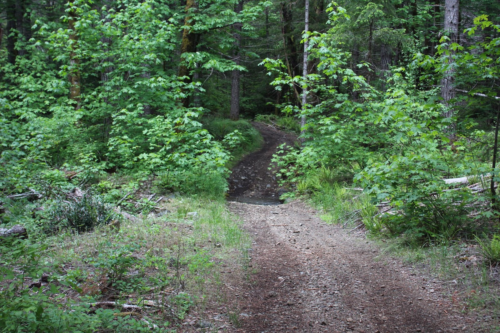
| A fellow hiker out and about on the trail |
But this time out, I was fully prepared. There was a map in my pocket and the GPS even had new batteries in it. When this particular hike rendition began at Sam Brown Meadow's trailhead, it was apparent that a lot had changed in the intervening month and a half or so since my last visit to this locale.
 |
| The greenery exploded from my last visit here |
First off, the trail was eminently green. There was a veritable jungle growing beside and in some instances, over the trail. What a difference! Along with the lush spring growth, a million little wildflowers were blooming and all manner of buzzing insects, ants, and aphids were happy. The camera also was happy with the rampant greenery and was kept quite busy on the resulting slow hike.
 |
| Skunk cabbage "perfumes" the air |
It had rained for most of the week and the trail was fairly muddy and there were a few "whoops!" moments (but no pratfalls) on the way. Water collected in low spots and between the trail and hidden Briggs Creek was a damp bog full of an entire metropolis of skunk cabbages perfuming the trail with their rubbery skunky odor.
 |
| Dutchy Creek capers and frolics across the trail |
After a mere half-mile or so, the trail abruptly disappeared into what I mistakenly identified last time as Briggs Creek. That's what happens when you have no map, GPS, or general knowledge of the layout, you don't even know what creek it is. Anyway, Richard meet Dutchy Creek and vise versa. Now that we were properly introduced, it was time to commence a more intimate acquaintance with Dutchy Creek in the form of a wet wade. What had been an ankle-wetting wade a few weeks ago was now about six inches above the knee deep. Why does Richard cross the creek? To gather material for his blog, of course. To get to the other side would be the more utilitarian reason, though.
 |
| A most bucolic setting |
A short walk on a lush trail with Siskiyou iris, pretty face, and wallflower blooming all around led me to my former nemesis, the heretofore unidentified gravel road. I say road, but really it was more of a rough jeep track that probably services the ATV crowd. A quick consult with the GPS divulged that the road was actually the trail for a bit so it was "Hike on!" again.
 |
| Brushy Creek runs across the trail |
Brushy Creek would also have been an ankle wetter but some enterprising soul had tossed a thick board into the creek and that just turned the creek into mere boot sole wetter. At this point, the trail peeled off to the right and became a genuine path instead of rough road.
 |
| A lot of the forest looked like this |
All through this hike, the trail was surrounded by scars from the Taylor Creek Fire of 2018. In most places the flames had merely singed the trees while clearing out the undergrowth. Past Brushy Creek though, the fire had really done some serious damage to the forest, for most of the trees were either dead, dying, or both. In fact, some of the hardwood species like madrone still had dead leaves remaining on their blackened limbs, nearly two years after the actual forest fire. But in a burn zone, the "healers" move in when trees die off and this forest was no exception.
 |
| Bracken fern takes over the burned area |
When the trees die off, sunlight reaches ground level in what had once been a shady forest. Accordingly, sun-loving vegetation takes over, thriving in the open sunlight. Fireweed, bracken fern, sword fern, vanilla leaf, and the ever ubiquitous vine maple had created a relatively low growing jungle that rendered the trail slightly sketchy on occasion. The ample vegetation attracted butterflies, beetles, bees and flies while songbirds twittered in the brush and woodpeckers jack-hammered the blackened snags. The burgeoning life flourishing at ground level below acres of death in the form of dead forest, visually made for quite a striking contrast.
 |
| Briggs Creek was always nearby |
Briggs Creek had initially been hidden from view by forest and vegetation but as the miles clicked off, it became more consistent in remaining semi-visible, always flowing relatively near the trail. The stream was moving fairly deep and swift in places, and some of these swimming holes might be fun come summer.
 |
Elkhorn Mine, no longer an ongoing mining concern
|
The only real landmark or point of interest with any sense of destination was Elkhorn Mine. It may have been an actual mine in the past, but today it is a rustic campsite cum picnic spot with a couple of chairs and one card table underneath an invitingly lush forest. There were large and rusty pieces of metal strewn about that I can only surmise were related to the site's former incarnation as mine. Here, the trail became jeep road once again and the former mine now has that air of backwoods idyll for the motorized crowd.
 |
| The trail disappears into the forest on a darkening day |
Feet got wet crossing Elkhorn Creek flowing across the track, and it was time for a quick consult with the map for an idea of how much further I'd be walking. Not very far, as it turned out, for the trail made a crossing of Briggs Creek about a quarter-mile ahead. Comparing Briggs Creek to my nearly waist-high crossing of relatively tranquil Dutchy Creek, the idea of battling a much deeper and much faster moving creek wasn't all that appealing, especially since the sky had clouded over with that expectant air of impending precipitation.
 |
| Sproing!!! |
Although this hike was not very long, coming in at 5.6 miles, the full Briggs Creek Trail is something like ten miles long end-to-end. It might be worthy of a backpack trip in summer when the creek fords are more manageable. In fact, Briggs Creek might even owe me another hike out to this beautiful and idyllic area,


No comments :
Post a Comment