Even though this hike was done in early May, much of the quality of hiking in our little piece of Oregon in 2019 has been and will be determined by the aftermath of February's Snowpocalypse. The wet and heavy snow, lots of it too, knocked down tons of trees onto all the trails in our Umpqua National Forest. When you have a horizontal forest lying across most trails, well it does make it rather hard to find a trail to hike on, doesn't it?
 |
| The Forest Service crew's handiwork |
The North Umpqua Trail (NUT) was no exception to the tree carnage, despite its exalted status as a National Recreation Trail. However, the Forest Service had dispatched a trail crew to clear out the Mott Segment of the venerable NUT, and at the time of this hike, that was the only segment that had been reopened following the February storm. Well, since the only other option was to hike on a closed segment and do a "boot camp" hike over, under, around, and through all the tree obstacles, we were good with hiking on the Mott Segment.
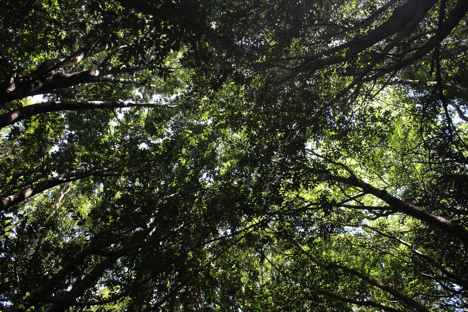
 |
| Moss covers all that does not move |
Ten hikers and one dog showed up for this one and it was a happy scene as twenty boots and four paws set out on the trail on a fine spring day. The sun was shining, the sky was gloriously blue and cloudless, and the temperature was perfectly mild. Normally, I complain loudly and vociferously (some would say shrilly, even) about having to hike on the frigid shady side of the North Umpqua River but on a day like this day, the shade was equally pleasant as the sunny side of the river, temperature-wise.
 |
| The North Umpqua Trail, on a fine spring day |
The day was quintessentially spring, and winter had been completely banished to nice-weather purgatory for the next six months or so. Because it was truly and fully spring, the burgeoning forest vegetation was exploding into riotous profusion along all things North Umpqua, be it trail or river. Green was the color of the day with all manner of trees, vines, shrubs, bushes, and other assorted vegetative life forms sending out vigorous leafy growth to compete for what little sun actually reaches the forest floor.
 |
| Fern, still in the process of uncurling |
Ferns were plentiful, their rolled-up fronds still in the process of unfurling, making the curlicued polypodiophytes (ferns, in plain speak) with their curled "elephant trunks" look like some kind of strange vegetative pachyderms (fancy word for elephant-like life forms). By the way, I looked up the definition of "pachyderm" and the root words mean "thick-skinned", so I know plenty of overly sensitive hiking friends and comrades who are definitely not pachyderms in the etymological sense of the word. But I digress...
 |
| Wild ginger flowers are just weird |
Wildflowers are very much a thing in spring and where there are wildflowers, there is me, lying prone on the trail photographically documenting seemingly every flower I see. My favorite flower is the wild ginger because like me, it's a little hard to find, it's brown, and it's hairy. Well, that's zero true out of three statements, but suffice to say that the flower is the very antithesis of what a flower should look like. By the way, "Wild Ginger" used to be my stage name, but that's another sad story best left untold in a hiking blog. Bless its little brown alien-looking head though, and I soon lagged behind because of my photographic search for the perfect specimen. One other plus to wild ginger are the aromatic and flavorful leaves which taste like...well, they taste like ginger. I crumpled up a couple of the heart-shaped leaves and dropped them into my hydration bladder so I could drink refreshing ginger-flavored water for the duration of the hike.
 |
Calypso orchids are just flamboyant
|
Most of the floral specie were white in color, with calypso orchid being a notable exception. The flamboyant flowers were in full samba song, dancing in a conga line across the forest floor, appearing strikingly exotic and tropical among all the staid and overly dignified conifer and maple trees. The orchid Carnaval presented yet more opportunities for me to lie prone on the ground and lag behind!
 |
| The North Umpqua River, all day long |
The North Umpqua River was a constant companion on this mostly level hike, the waters glowing blue-green in the seasonal sunlight. In winter, the river runs fairly silty and can even sport the same dull muddy brown color of a wild ginger flower. But in spring, the river begins to clear up and we could see previously hidden rocks lurking just below the surface, eagerly waiting to unpleasantly surprise river kayakers and rafters. At best, if they couldn't triumphantly snag a boat, the jagged rocks are more than willing and able to snag a fishing lure or two or three or several dozen. Actually, they probably don't snag as many lures as they used to since I gave up fishing a couple of decades ago.
 |
| What vine maple does to a forest |
I've already mentioned the trailside greenery, and the main donors thereof were vine maple and dogwood trees. Vine maple is probably the most photogenic tree ever, except maybe in in bare-branched winter. In autumn, the forest is seemingly set ablaze by the colorful vine maple leaves flashing with every hue and tint available in the autumnal spectrum. However, in spring the leaves only flash green, of course. Despite the monochromatic color choice, the riotous profusion of vine maple leaves will green up a forest in a hurry, and nothing says spring quite like a forest full of vine-maples adorned with new leafy growth.
 |
| Someone left the dogwood lamps on |
Not to be outdone by vine maple, dogwood was also putting on a show with ample quantities of six-petaled white flowers bedecking the branches arching over the trail. Being it was a sunny day and all, the flowers and leaves were illuminated and lit up by the riverside sunlight like so many garden lamps. While the dogwood floral display gave me further camera-related reason to lag even further behind my comrades, at least I didn't have to lie prone on the trail to take photos of the blooms.
 |
| Part of that landslide we walked across |
The Mott Segment is one of the few extended stretches of the NUT that is basically level in gradient. However, that's not to say the hike was not without a few travails, mostly in the form of trees lying across the trail, a souvenir of some recent winter storm that occurred after the trail crew had cleaned up this segment of the NUT. Piles of sawn logs lay off to one side of the trail in testament to the hard work of the USFS trail crew to make this trail hike-ready (Thank you!). Unfortunately, their work is still incomplete, for a fairly sizeable landslide sprawled over and on the trail, forcing us to scramble across the face of the slide with all its tons of debris poised above, seemingly ready to slide again at the slightest triggering provocation (like scrambling hikers!). I'm glad to report that no land slid as we carefully made our way across.
 |
Timber Creek, flows across the trail
|
Several large creeks (Fisher, Timber, Cougar, John, and Wright, to enumerate all the named creeks), run across the NUT but fortunately, rustic footbridges got us across each one without any dainty hikers having to wet their feet. The bridges made for nice photographic vantage points and the creeks soon separated our group of hikers into those with cameras and those without.
 |
Fisher Creek at Zane Gray's camp
|
Fisher Creek is the site of Zane Gray's fishing camp and us older hikers enjoy tormenting the younger set by asking them if they know who Zane Gray was. Cruel to be sure, but it is funny to see that panicked look on their faces, the same look a student who did not do the homework assignment gets when unexpectedly called upon by the teacher. I don't have any other funny stories to tell or fabricate about the other creeks, but they were nice to look at as we hiked by.
 |
| The end of the road |
Unfortunately and sadly, we arrived at a meadow just after we crossed Wright Creek. It was a crying shame too, for the meadow marked the end of our hike and nobody really wanted to stop hiking on such a beautiful day.