Showing posts with label iron Mountain. Show all posts

Thursday, July 14, 2022

Iron Mountain

Who knew Iron Mountain was such an amazing wildflower hike? The short answer is everyone but me, but that's not entirely accurate, either. I had heard rumors about the wildflower display on Cone Peak and Iron Mountain but had only ever gone on this hike either in winter or late autumn. During those two seasons, any vegetation capable of decorating the two peaks were either all dried up and shriveled like a mummified ancestor, or buried under a layer of snow like a mummified Eskimo ancestor. So, it was high time to make a July sortie out to the Tombstone Pass area and have a look-see.

The trail slices through some of
that Tombstone Prairie greenery

Accompanied by trusty side-kick Missy, I set out on the Santiam Wagon Road which immediately dropped down into Tombstone Prairie. Here, the verdant meadows of the prairie reposed in the valley laying between Cone Peak and Browder Ridge. Rampant greenery flourished under a deep blue sky and already we were off to a fine start.

Columbia tiger lily, always elegant and eye-catching

After an appreciative gawk-stop at the green prairie, we grabbed the Cone Peak Trail and began heading uphill in earnest. At least the hiking was done in a beautifully shaded forest which gave rise to more greenery and a different cast of wildflowers to admire, causing us to almost forget we were walking uphill. The forest floor was strewn with queen's cup, Sitka valerian, Columbia windflower, and other white-colored flowers. Representing the non-white end of the color spectrum were peavine, Columbia tiger lily, woodland penstemon, and a small reef of Merten's coralroot

Golden yarrow, one of the brightest flowers around

Maybe it was a pre-existing condition, but our opinion was that the flowers in the forest were pretty spectacular. Nothing could ever top this. Oh, we were naive then, so early on in our hike. After a mile or two of steady uphill walking, the trail began to break out into intermittent rock gardens with golden yarrow, rock penstemon, and stonecrop stuffed into the cracks between rocks. Nearby, bloomed single specimens of dark purple larkspur, hinting at the larkspur show in our near future.

The larkspur hordes

One larkspur is elegantly beautiful but multiply that by a factor of 4.7 googols and you have the Cone Peak experience in summation. The trail passed through open areas with massive armies of larkspur marching forward to champion the cause of all things purple. Interspersed among the larkspur hordes were occasional specimens of white larkspur, something I had never seen before. The purple meadows were simply amazing and beyond words, although it seems I've managed to come up with a few.

Cone Peak looms above its wildflower gardens

Eventually the path made its way into the pumice barrens below Cone Peak, although they were not as barren as I have seen them in winter. A veritable rainbow of colored petals resided at the end of various flower stalks, splotching the slopes of Cone Peak with color, like a geologic paint palette. All hiking came to a screeching halt as we perused and/or photographed the fields of flowers.

South Peak rises next to Cone Peak

Even without the wildflowers, the loop hike around Cone Peak and Iron Mountain is pretty cool. Views of nearby peaks abound and to the east of Cone Peak, rise South Peak, Echo Mountain, and North Peak, seemingly placed there just for hikers to admire. Apparently, the colorful flower displays are not limited to just Cone Peak, for the other mountains sported large swaths of yellow on their shoulders, to go along with their green meadows.

Missy leads the charge up Iron Mountain

After several miles of mouths-agape hiking through the scenery and wildflowers, we rounded Iron Mountain by hiking through a shady forest of mossy fir trees before intersecting with the Iron Mountain Trail. Yup, it was time to hike up Iron Mountain itself, and this trail definitely put the "up" in "yup"

Dizzying view from the trail

Back and forth and always up, the switchbacking trail went to and fro through the ever ubiquitous meadows and wildflowers, affording me the opportunity to gawk or rest, depending on who you listen to. Iron Mountain is a rugged beast, and accordingly, we hiked past a series of rocky outcroppings, jagged cliffs, and one lone arch. The elevation gained served up ever increasing views of the surrounding river valleys and mountains.

Mount Jefferson was like a ghostly pimple

There is a wooden observation deck on the Iron Mountain summit and a 360 degree panorama that allowed us to play the Name-That-Peak game, although a nearby signboard inspired some of us to cheat. Beginning with Diamond Peak to the south, the Cascades stretched north in a successive chain of volcanoes, the taller ones being snowcapped. The Three Sisters, Mount Washington, and Belknap Crater all loomed on the near eastern skyline, but it was snowy Mount Jefferson looming over Scar Mountain that commanded the most attention. Further to the north was Mount Hood and amazingly, we could even see Mount Adams from all the way in southern Washington.

Bunchberry bloomed in bunches

All good things come to an end though, and regrettably, we hiked off Iron Mountain's summit and then down to Tombstone Pass via the Santiam Wagon Road, which is actually a trail that follows the old historical wagon route. The Santiam Wagon Road ran through another shady forest that sported the same wooded and flowered scenery we had started out through, so many epic hours ago.

Iron Woman on the Iron Mountain Trail

So, now Missy and I both know Iron Mountain rocks in July! Not sure if I'm quite ready to say I'll hike here every July, but that's a distinct possibility.

The Cone Peak flower show

For more photos of this hike, please visit the Flickr album.

Saturday, October 19, 2013

Iron Mountain

A friend of mine recently offered this solution for solving the next budget crisis and government shutdown: Lock up Congress in a room and until an agreement is reached, they can't leave except for food and bathroom breaks. I strongly disagreed with my friend:  Why give them food and bathroom breaks?

Iron Mountain's spire, from the summit
I offer the above paragraph to point out that the problem is not that members of Congress don't speak to each other to solve problems but that none of them are hikers. It's just too hard to not get along when hiking. In all my miles of trail, I have found hikers to be one of the friendliest bunch of people around. People of disparate backgrounds, different philosophies, and competing religions can all unite for the common goal: namely, reaching the car at the end of the trail and stopping for ice cream on the way home. Case in point was a recent hike to the summit of Iron Mountain by two people that can be as opposite as can be and I am referring to me and Mrs. O'Neill.

Scary things inhabit the woods
The full autumn show had passed us by but there were a few desultory yellow leaves as we started at the Tombstone Pass Trailhead. Tombstone Prairie was brown and dead due to the snows that had hit this area late September. The snow confused the vine maples and the leaves died on the vine, so to speak, and the dry brown leaves rustled with the slightest air current.

Autumn glory
After a short walk, we crossed busy Santiam Highway (look both ways before crossing, boys and girls) and the hike began in earnest on the Cone Peak Trail. "Up" was the operative word as the trail climbed almost 1,000 feet in just a little over 1.7 miles. No complaints yet as we were still pretty fresh and we enjoyed the shaded forest with the yellow and brown leaves in the understory.  The floor was carpeted with ankle-high thimbleberry, their leaves all glowing bright yellow.

Arrival at Cone Peak
Two miles into the hike, we took a respite from the uphill trudgery to admire views of Cone Peak and South Peak. The trail had left the forest and entered some lava barrens and the lack of trees led to the nice views under a deep blue sky. We also got our first glimpse of Iron Mountain with its distinctive pillar forever standing at respectful attention. We were trail-overlapping a family with two young girls around 5 and 8 years old. The kids were noisy with enthusiasm but on the plus side, we would not surprise any bears today. The parents are my candidates for Parents of the Year as they were taking the tykes on the full 7 mile loop, steep climbs and all.

Down into the murky woods
Leaving the slopes of Cone Peak, the trail then dropped down off a ridge and entered another shady forest which meant we had to climb out of the forest instead of staying on the level ridge. Why do trail designers hate their clients so? I think they should be locked in a room with no bathroom breaks or else be made to hike their own trails. But I digress.

How not to have a happy wife
So a brief climb took us around the shady side of Iron Mountain and then the fun started again. The side trip to the Iron Mountain summit was a seemingly interminable series of switchbacks up a treeless and rocky slope. It was about here we started to have our own budget crisis, hiking-wise. Fortunately, we averted a shutdown by making use of several stone benches conveniently sited at the switchbacks.  

That's it, I quit!
At a rocky viewpoint, Mrs. O'Neill lay down on the ground, her head dangling awkwardly as she was too tired to even remove her daypack. "That's it, I quit!" she stated ever so dramatically. "You go ahead to the summit, how far is it anyway?" I didn't bother to answer, pointing instead to the summit platform about 20 yards away. After a good laugh, she trudged the short distance to the summit.

Summit platform
The summit used to have a lookout on top but winds removed the structures several times so now we have a sturdily constructed viewing platform. A memorial plaque dedicated to Michael Robin, a lookout staffer who fell to his death in 1990, is a somber reminder about the danger of getting too close to the edge.  Nowadays, the summit platform is well railed to prevent another tragic accident.

The Three Sisters
The views were stupendous with the snowy Three Sisters rising to the southeast. Mount Jefferson was even closer, rising well above Crescent Mountain as it should, seeing how Jefferson is Oregon's second tallest peak. Mount Hood, 70 miles away, was clearly visible and amazingly beyond Hood was a ghostly white mound that could only be Mount Adams in southern Washington, a mere 128 miles away! Diamond Peak was brooding to the south and yet further south were the Crater Lake Rim peaks, faintly visible on the horizon.  To the west above the smoke filled valleys (it's wood stove season) was Mary's Peak, a Coast Range stalwart.  You really can see forever if you get high enough on a clear day.

Late afternoon
All good things come to an end and we picked our way carefully down the switchbacks and dropped back into the forest, descending into the Hackleman Creek drainage. As shadows lengthened, a short walk on the Santiam Wagon Road (now a trail) brought us full circle to our car. In a last cruel twist of fate, it was a very steep climb to the trailhead. I think Mrs. O'Neill wanted to lock both the trail designers and myself in a room with no bathroom breaks.


Uphill through the colors
For more pictures of this hike on a beautiful day, please visit the Flickr album.


Create Routes or find more routes in Sweet Home from millions at MapMyHike

Saturday, September 15, 2012

Rooster Rock

Years ago (and, sigh, how often I say that nowadays) I hiked to the top of Iron Mountain and looked west into the odd towers, turrets, pinnacles and other rock creatures of The Menagerie Wilderness and filed the area away for a future exploratory hike. Well, in mid-September, the future became now when I paid a visit to Rooster Rock.

Sunlight and leaves were one
of the stories on this hike
Basically, there are two trails in The Menagerie: Trout Creek and Rooster Rock. Both are steep but the Rooster Rock Trail can crow as the winner of the steep-off contest between the two trails. Everything else in the wilderness requires cross country bushwhacking. It is possible to connect the two trails as a loop hike but the loop requires a 2 mile walk along busy Highway 20. Not wanting to share our hike with the car crowd, Maggie the Hiking Dog and I opted for the 7-mile round trip out-and-back on the Trout Creek Trail.

A virtual poem
First of all, apart from a brief view at the trailhead, the misnamed Trout Creek Trail never provides another view of the creek, contouring instead on a forested ridge with the creek hidden from both sight and earshot well on the other side of the formidable ridge. The trail could have been more appropriately named by calling it the Really Steep Trail or the Spider Trail.


Gah!


Spiders were a large part of my Rooster Rock experience. September apparently is the month where the spiders succumb to their biological impulse to snare hikers before the winter snows arrive. Invariably, the webs were strung across the trail at face height. And of course, the fine strands of sticky web were virtually invisible so the only warning was an all too brief cross-eyed glimpse of the spider just before it landed on my nose. I had many opportunities to do the spider dance which consisted of spastic hand-waving and dancing punctuated by panicked shouts of "Gah!"

I can see the top of the ridge!
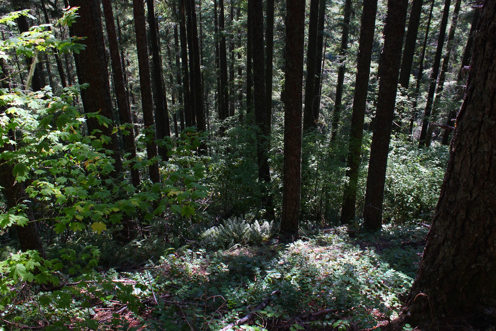
The trail was beautifully shaded with big leaf and vine maples growing among tall fir trees. There was ample opportunity to admire the leaves filtering the sunlight while bent over gasping for breath. You see, the trail gains 2,300 feet at the challenging rate of nearly 700 feet per mile which works out to be a 12% grade, something cars don't even like to do. All the uphill didn't seem to bother Maggie and she waited patiently at all the frequent master-induced rest stops.

Rooster Rock
Shortly after the intersection with the even steeper Rooster Rock Trail, sky could be seen above the ridge crest which gave me hope the trail was topping out. The topping out did occur shortly after passing Rooster Rock. The rocky tower is probably a thrilling sight to the climbing crowd but was hard to see otherwise what with a forest growing around the base of the rock. Despite being on the edge of The Menagerie, it was difficult and nigh impossible to make out the interesting rock features that define this wilderness area.

Our lunchtime view
Not to worry, though, because a short uphill push on an ever increasingly rocky trail brought us to lunch and rest on a rocky viewpoint. Not quite a 360 degree panorama, trees kept us focused on the east where we looked up the South Santiam River valley to Iron Mountain and Cone Peak; in the hazy distance were North and Middle Sisters. To the north of North Sister a massive plume of smoke demonstrated that the Pole Creek Fire was still misbehaving.

Gah!


After about 15 minutes or so, another hiker arrived at the viewpoint and we exchanged pleasantries. He complained about all the spider webs across the trail which was surprising because there shouldn't have been any left after I knocked them all down on the way up. He was kind enough to take a picture of me doing my pose (I think I freaked him out when I did that) before he left and after a 15 minute wait, I also headed back down the trail. Surprisingly, there were lots of spider webs back across the trail with more hand waving and face slapping.  Industrious little buggers!

Nothing quite like the sensation of a spider crawling on your face

Forest, on the way down
It was a pleasant descent through forest as the shadows lengthened despite the occasional eight-legged arachnid creep-out. Next time I come here, I'll bring a racquetball racquet to keep the spiders off of my incredibly handsome face.

For more pictures of this hike, see the Rooster Rock album in Flickr.