Showing posts with label Stein Butte. Show all posts

Saturday, June 18, 2022

Da-Ku-Be-Te-De Trail


Da-Ku-Be-Te-De just nicely rolls off the tongue, doesn't it? Well, maybe not. I was watching a YouTube video by some dude who hiked on the Da-Ku-Be-Te-De Trail and boy, did he ever struggle to pronounce the trail's name. He eventually gave up after he sprained his tongue and suffered severe mouth contusions. Speaking from personal experience though, it's pretty simple to say when your other native language is Spanish. Fortunately for the linguistically challenged, pronunciation and elocution are not a prerequisite for enjoyment of the hike. Just let your boots do the talking, the trail will always understand.
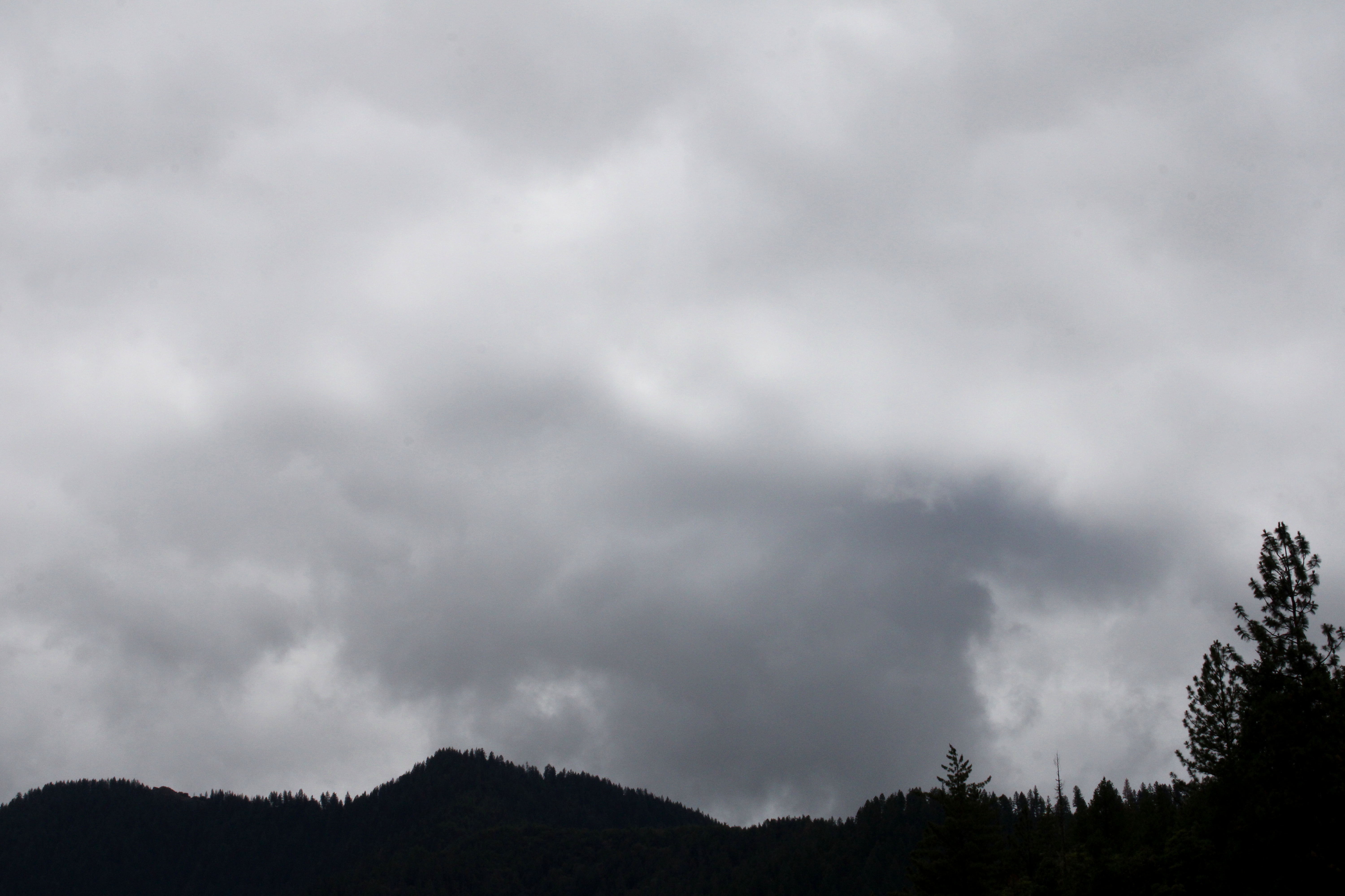
"Once upon a morn so dark and dreary,
while I hiked, weak and weary..."

It had been raining the week prior to this hike along the shore of Applegate Lake. When I began walking, the sky was overcast, dark, and dreary, matching my mood perfectly. Stepson Carl had been badly injured in a work accident and the worry about his well-being definitely harshed my mellow. Hopefully the sun would just stay hidden behind the moody clouds, no need to unduly mellow my harsh. However, as I hiked along the trail, the day would eventually bifurcate into equal parts sunny and cloudy, improving my mood and overall outlook, despite my best intentions to do otherwise.

Not your basic wilderness hike

The Da-Ku-Be-Te-De Trail is part of a trail network that circumnavigates Applegate Lake and this hike began at Hart-tish Park which boasts a campground, picnic area, boat ramp, small general store, and hundreds of squealing children recreating in the lake's cold waters. The civilized start to the hike continued as I walked past the campground, especially since the trail was paved at that point.

Mirrory

After several years of minimal precipitation and maximal wildfires, it was nice to receive a lot of rain last winter, leaving Applegate Lake full to the brim with water, as every lake should be. The air was quiet and still, and the lake reflected the gray clouds in the sky on its mirrory surface and I don't think "mirrory" is really a word, but I'm still going with it. In general, the body of water sported an alpinesque vibe, seeing how the narrow fiord-like lake is surrounded by tall craggy peaks still flecked with snow.

Mule Mountain rises beyond the lake's dam

Even though the trail closely followed the shore, dense woods surrounded the track and at times, it was like there was no lake at all. But periodic openings in the tree cover allowed me to observe some of the surrounding lakeside topography, like Little Grayback Mountain, whose tip-top generally hid somewhere within the low cloud cover. Across the lake was Elliot Creek Ridge with Stein Butte being the most prominent high point on the forested ridge. Not all the scenery was mountain-centric though, as the pronounced bay of Squaw Creek's arm reposed on the opposite shore below Elliot Creek Ridge.

Golden yarrow brightened up the trail

Wildflowers were a thing on this hike, too. Much of my time was spent bent over or lying prone on the trail, photographing small plants with colorful blooms representing all colors of the rainbow. Many of the plant species were regular Siskiyou denizens, seemingly exotic to this particular denizen of the Oregon Cascades country. Elegant brodeaia, ookow, checkermallow, golden yarrow, and paintbrush all did their part in colorizing the hike and much photography ensued.

The ticks await my presence on the trail

Intermittently, the woods gave way to small meadows and open grassy fields. Somewhat paranoid about the small biting creatures that lurk in the grass, I performed frequent tick checks, particularly right after a round of photo-grazing at grass level. I'm glad to report only one eight-legged vermin was found crawling on my pants leg, and luckily that was before it found its way to the delicious O'Neill blood flowing underneath my preciously soft and tender skin.
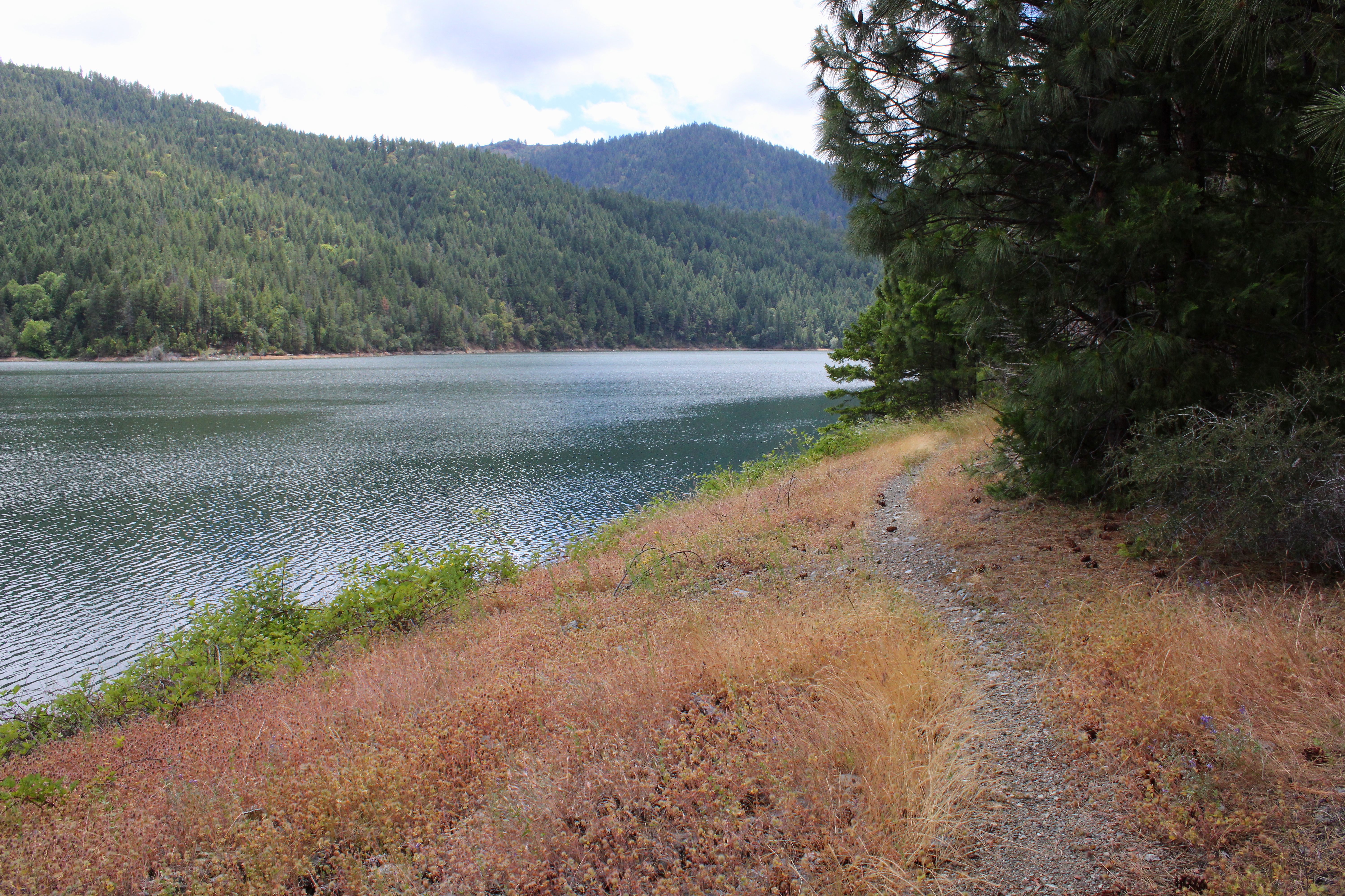
The Da-Ku-Be-Te-De Trail follows
the shore of Applegate Lake

As the miles slowly accrued, the lake's dam, eminently visible at the beginning of the hike, soon receded from view and it was easy to pretend Applegate Lake was then a natural body of water. On a clear day, the high peaks of the Red Buttes Wilderness, most notably those of the Red Buttes themselves, are an impressive sight from the shore. Unfortunately though, all that sumptuous snow-capped mountain scenery was hidden from sight by the brooding cloud cover on this latest visit.

Trail intersection near Watkins Campground

After about four miles of pleasant and mostly level hiking, a wooden footbridge and trail intersection marked my arrival at Watkins Campground. To continue hiking further around the lake required a fairly lengthy road walk, which made the campground my logical turnaround point. If I wanted to hike on pavement, I would have just walked back and forth a bunch of times on the campground path at Hart-tish Park.

I can see most of the Red Buttes

On the way back, the whole semi-stormy vibe completely changed as the clouds began to break up and dissipate. More and more, blue sky began to hold sway above the lake, but the clouds resisted mightily while I hiked below, fully entertained by the meteorological contest of wills. At the end of the hike, the Red Buttes, looming large on the Siskiyou crest, did finally make a brief appearance.

Blue sky began to rule the day, come afternoon

This hike had been another exercise in mental health, allowing me to assimilate myself back into civilization and generally mimic socially acceptable behavior. Totally enjoyable it was and I'll probably return to this trail in the future, for the backpack trip around Applegate Lake is on my to-do list. Because the trail around the lake is relatively level, it would be a pleasant backpack trip and probably is as easy as pronouncing Da-Ku-Be-Te-De.

Easy for you to say!

For more photos of this hike, please visit the Flickr album.

Tuesday, July 14, 2020

Stein Butte

My physician tells me that if I exercise more, then I can live longer. Paradoxically though, it's one of life's many cruel little ironies that living longer makes it harder to exercise more so you can live longer. I had plenty of reason to ruminate on the circular logic of all this during a recent hike to the summit of Stein Butte, located almost astride the Oregon-California border. The labor to reach the Stein summit entailed a 9.4 mile hike with 2,400 feet of elevation gain on a day where the temperature was in the 90s, leaving me tired and sore when it was all over. No doubt, the hike was beneficial and increased my overall health but why does good exercise have to feel so bad?

Why you should use sunscreen
Beginning from the shore of Applegate Lake, right where the Middle Fork Applegate River, Elliott Creek, and the lake itself join forces and unite as one, the Stein Butte Trail wastes no time in heading uphill, and with good reason. Stein Butte's summit is 2,400 feet above the lake and you have just under five miles to get there. For math geeks like myself, that's just about five miles of nearly a 10% grade. The trail points due east across the map like a giant vector from advanced calculus class but from a lay standpoint, it's just a tough hike. 

Pretty to look at, so itchy to touch


The forest was the usual Siskiyou Mountains forest mix of oak, conifer, and madrone trees, with a lush green jungly undergrowth flourishing under the trees, comprised mostly of thick stands of poison oak bushes, just looking for an opportunity to torment susceptible and inattentive hikers. I'm happy to report that I managed to keep my bare legs from brushing up against any waving fronds of Satan's favorite plant, he'll have to try again next hike.

Some of the local fauna
Speaking of itchy things, mosquitoes were not much of an issue on this hike. The difference between mosquitoes in the Cascades and mosquitoes in the Siskiyous is like the difference between a piranha and a guppy. The Siskiyou mosquitoes will tap you on the shoulder and say "Excuse me sir, may I please have a drop of your blood? I'm expecting and need it for my million babies." Their Cascades sistren (the mosquitoes that bite are females who need the blood to lay eggs, no sexist or misogynist slant intended) don't ever bother to ask. So it was rather pleasant not to have to deal with the rapacious hordes of miniscule Dracula spawn, excepting for the one that I accidentally inhaled and ate while breathing heavily on the way up.


Forest typical of Elliott Creek Ridge
Speaking of "on the way up", there was plenty of that on this hike. The trail was basically following the spine of Elliott Creek Ridge by switching from the north-facing side of the ridge to the south-facing side, and then back again, ad infinitum. South-facing slopes tend to be dry and arid, populated with scratchy chest-high thickets of manzanita bushes. The north-facing slopes tended to be cooler, shadier, and well-populated with firs, ferns, and other assorted greenery. Naturally, I'm a fan of the north-facing slopes. However, the south-facing slopes had their own awesome vibe, for the lack of trees did provide some pretty good views of the nearby Red Buttes Wilderness.


The Red Buttes dominated the scene to the southwest
Elliott Creek Ridge dropped steeply away from the trail, bottoming out at its namesake creek, and then shooting back up to the Siskiyou Mountains. The Red Buttes Wilderness straddles not only the Oregon-California border, but the Siskiyou crest as well. Having hiked in that area before on the Boundary Trail and Pacific Crest Trail, I could pretty much slap names on all the peaks extending in an unbroken chain from White Mountain to Grayback Mountain. The Red Buttes looked more orange than red, their twin peaks standing forever at attention next to equally orange Kangaroo Mountain, which does not have kangaroos on them as far as I know.

Not one, but two false summits to
psychologically contend with
The view straight ahead, along Elliott Creek Ridge, showed a small rounded peak looming above. When I first hiked this trail, I was all happy and excited to see what presumably was the summit of Stein Butte, signifying a potential joyful ending to all the bad uphill grade, Ah, I was so young and innocent then and Stein Butte is a cruel and capricious taskmaster, serving up not one, but two false summits. So, now that I'm officially an old and grizzled veteran of this trail, I didn't get too excited about seeing the first false summit this time.

My car is down there by the lake
The good news though, was that while still going uphill, the trail eased up on the rate of elevation acquisition, choosing to continue the uphill trending grade in a series of up and down rollers. At bare saddles in between false summits, views to the north impressed, offering up good looks at Little Grayback Mountain, Mule Mountain, and the Applegate River valley. Down there at Elliott Creek Ridge's crusty feet lay Applegate Lake, its many arms full of blue-green water contrasting with the surrounding dark hills and mountains. I could see a tiny road bridge spanning a narrow arm of the lake and realized my car was tucked behind a wooded ridge just beyond the bridge. Man I've got a long way to go and then get back, and I'm not even at the summit yet!

The actual summit of Stein Butte
The last push to the summit was the steepest part of the whole hike but thankfully, it was short and painful, kind of like eating a ghost pepper sandwich, and I did that very thing on the Stein Butte summit. There used to be a lookout here but all that is left of the old tower is the rocky foundation rubble, which serves as a windbreak when there is wind and I sat there for a bit, taking in the views of the surrounding peaks and valleys. I had been looking at these peaks for much of the hike but the difference was that on Stein Butte, I could see in all directions as opposed to just whatever direction the ridge or forest would allow from the trail.

It was peeling season in the forest
I was fairly spent from the hike to the summit so it was a good thing the return leg was all downhill. As previously stated, I had a long way to go, so my pace was slow and relaxed and I took photos of whatever I was staring at during the moment. In the shady forest, the dappled afternoon sunlight began to lengthen shadows and the madrones were peeling off their orange paper-thin covering, exposing a green trunk underneath for all the world to see. I know just how those madrones feel.

Knobcones, waiting for a forest fire to germinate the seeds
After 4.7 miles of hiking from Stein Butte, the trail spit me out onto the gravel road where my car was parked. If exercise is good for me, then I certainly did myself about 7.3 favors. However, the hike had been tough, the day hot (I had run out of water about a mile from the finish), so the trying conditions certainly should have some deleterious effect on my life span. Or maybe it's just a wash, I'll just live as long as I live and that's that. I'll have to ask my physician and ignore her answer if I don't like it.

The last little push to the Stein Butte summit
Despite my grumbling about the workout, this is truly a great hike and I do recommend it on a day where it is not so hot. For more pictures of this hike, please visit the Flickr album.


Saturday, March 16, 2013

Collings Mountain

"Enough!  Enough, I say!" This is the time of year where that's it: no more creek or beach hikes! Fueled by a sudden bout of springish weather, dreams of standing on top of mountains began dancing around in my hiking-addled head. Unfortunately, the Cascades are still stashed away in the icebox awaiting the sunny days of summer, just like last year's lamb chops. Ergo, it's now time to pay the Siskiyou Mountains a visit.

Spring is coming to the Siskiyous
In the summer, the Siskiyous are fairly hot and arid so spring is really the best time to visit this underappreciated mountain range in the southwestern corner of Oregon. And for our purposes, spring comes earlier to the Siskiyous than the Cascades and hikers can, by judicious trail selection, nibble at the retreating snow line and enjoy spring in the Siskiyous for the next few months.


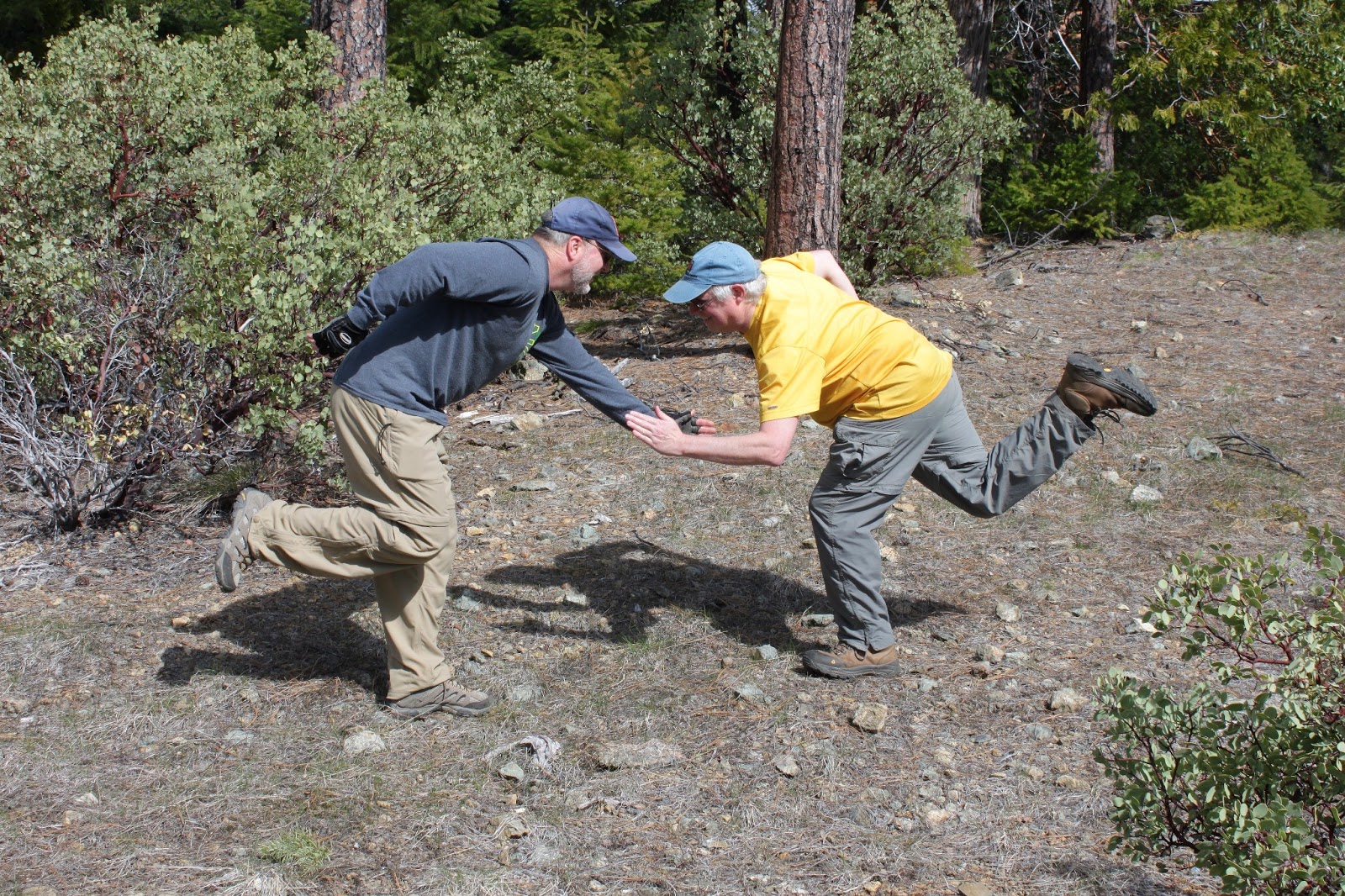
Glenn and I perform the hiker's meet and greet


Collings Mountain is a smallish mountain, topping out at a humble 3,625 feet but since it is reliably snow free this time of year, it was a perfect destination to lead the Friends of the Umpqua Hiking Club to. At the trailhead, we were joined by fellow southwestern Oregon hikers and bloggers Glenn and Carol who on this day were deemed to be honorary friends of the Friends. Glenn and I have been acquainted via the Internet for several years but this was the first time we would actually meet and hike.


Uphill, what a concept

As stated, Collings Mountain is a humble little peak but try telling that to the hikers who cursed their hiking leader while winter-atrophied quad muscles burned with the "sweet" heat that only comes from walking on a trail that wastes no time in heading uphill. Actually, winter layoff had nothing to do with the burning legs: this trail was pretty steep, climbing 1400 feet in 2.5 miles. Doing the math, this was a 10% grade, a climb that would tax my little KIA Rio. Of course, level ground taxes my KIA, but the point is the trail was steep, regardless.

Applegate Lake, below the Siskiyou Mountains

As we trudged up Collings Mountain, the madrones and oaks thinned out, offering a magnificent view for those of us that had any strength to lift our heads up. The Red Buttes loomed tall and snowy in what looked like Oregonian Alps. Extending to the east were a chain of lesser snowy peaks that comprise the crest of the Siskiyous and us map geeks played the Name-That-Peak game. The centerpiece on this Siskiyou doily was Applegate Lake, its blue-green waters reposing in a myriad of spidery lake arms.  

The Red Buttes and Kangaroo Mountain
We ate lunch at what we thought was the Collings Mountain summit. Actually, it wasn't the true summit but instead the mere high point of the trail. The "summit" was forested and views were limited but we were just happy to sit down after the tedious slog up. The consensus was that everybody was looking forward to hiking downhill but I, having hiked this before, smugly advised all to be careful what they ask for.

Hello down there

Leaving the "summit", the trail hooked and headed briefly in the seemingly wrong direction while providing ample views of prominent and snow-covered Grayback Mountain, with lesser peaks (all equally snow-covered) Mount Elijah, Steve Peak, and Big Sugarloaf Peak looming above the rugged forested mountains and canyons. The rocky slope dropped steeply away from the rugged trail and we enjoyed an impressive vista to the idyllic farms and pastures of Baker Flat about 1,300 feet below.

A tree melts, just like my quad muscles
Our trail dropped quickly off of Collings Mountain, seemingly headed down to Baker Flat and I had flashbacks to when I first hiked this hike all by myself. At the time, I was quite concerned because Baker Flat is in totally the wrong direction and I began to question as to whether I had missed a trail junction and was hiking on a wrong trail. Sometimes, a little faith is needed as there are no trail junctions and the trail was merely rounding the backside of Collings Mountain.

Lots of fallen tree stuff on the trail
All that downhill was nice but there was a price to pay as the trail eventually angled back up to attain a saddle on the north side of Collings Mountain. The attaining thereof was a little bit tough as numerous madrones had fallen across the trail, knocked down by wind or snow or both.


Trail designers will not go to heaven
So there we were, on the saddle looking down at the Grouse Creek drainage, all we had to do was hike down the slope to where our shuttle vehicles were waiting. But no, that would be too easy. Instead, the trail began a tedious climb on a ridge covered by a stunted Siskiyou mix of madrones, tan oak, and laurel. Darn sadistic trail designers were doing it to us again.


What's to grouse about?


After Round 2 of trudging uphill on the rim of the Grouse Creek headwaters, the trail dropped down for good. All that wishing for downhill quickly became wishing for uphill as legs, tired from all the climbing, were severely tasked leg-braking down a steep descent into the bottom of the Grouse Creek drainage. I had always thought that Grouse Creek had been named after the bird but after listening to the grousing emanating from my fellow hikers, I now have a different theory on how the creek attained its name.


Sasquatch, anyone?
On the way down, a short side-trail took us to an interesting oddity: the Bigfoot trap. In 1974, the trap was built by a group looking to prove the existence of the legendary and elusive hominid. The trap was baited with carcasses but attracted only bear. I have often wondered what the proper bait would be as no one really knows what a Bigfoot eats, it may not be carcasses. Perhaps they should have tried bananas or cottage cheese. The reason the for the trap's particular location is that there had been stories of Bigfoot sightings near Grouse Creek. My theory is that any Bigfeet sighted were big feet, swollen from the pounding on the steep descent delivered courtesy of the Collings Mountain Trail.

For more pictures of this hike, please visit the Flickr album.