

Well, the Cowhorn Mountain day-hike was all over and done with and that was my cue to trade in my daypack for a backpack. I'm a glutton for punishment apparently, but doing a day hike and a backpack trip all in the same day really seemed like a good idea after knocking down several peach tea ciders the day before.
 |
| The mosquitos await me and my blood |
The basic plan for the backpacking segment of the day was just to depart (immediately after the hike to Cowhorn Mountain) from the Pacific Crest Trailhead at Windigo Pass and hike a mile or so down Forest Road 60 to the Metolius-Windigo Trailhead. There is a creek running at the Metolius-Windigo Trailhead from which to water up at, and I figured I'd unceremoniously camp in the forest above the creek. However, I was all dressed up with nowhere to go, so to speak, and my legs still had plenty of pop so I just wound up hiking all the way to Nip and Tuck Lakes, roughly about 3 miles from Windigo Pass
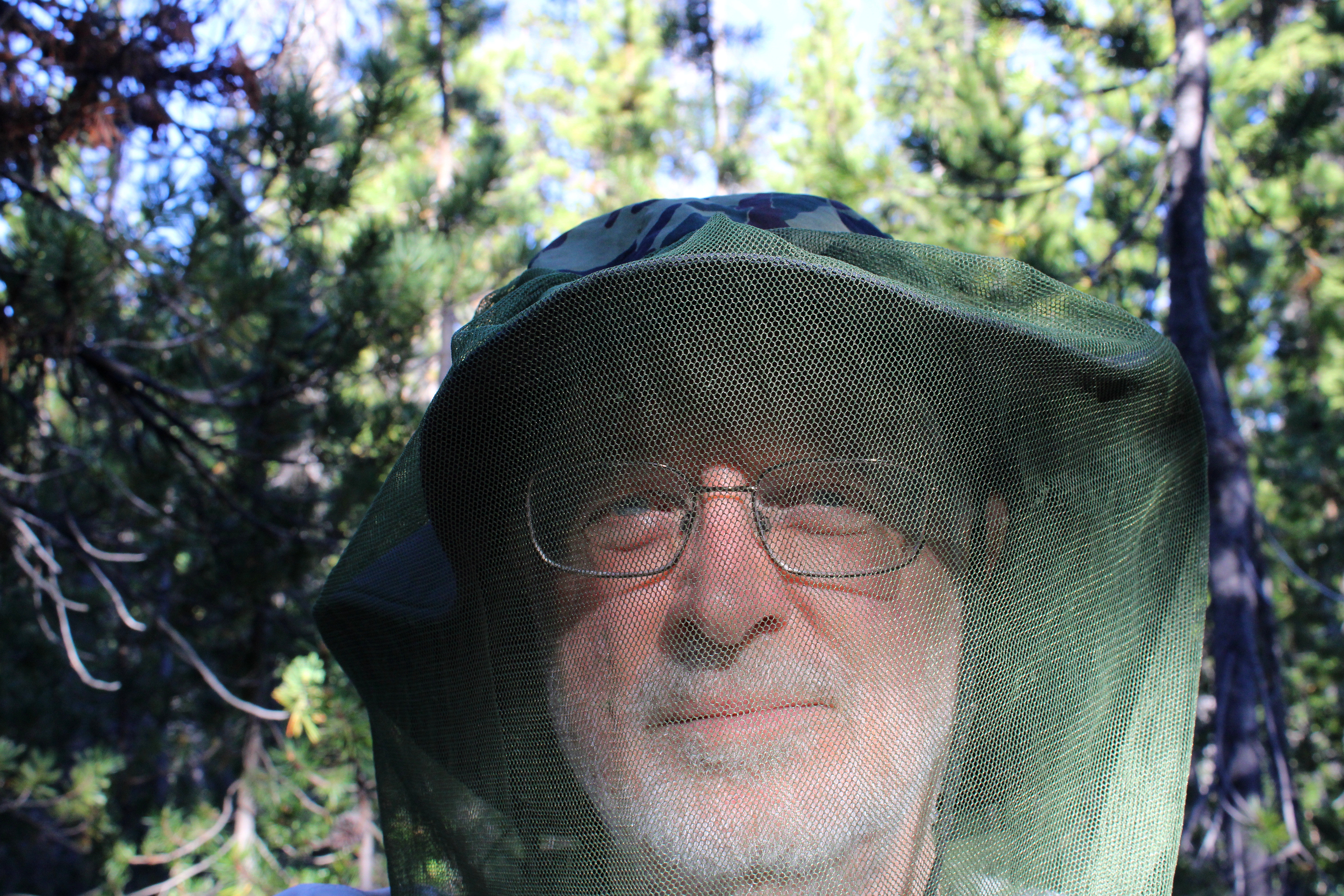 |
| Nerd alert! |
I had hiked here a week prior and already there were a few noticeable changes. There were no snowdrifts for one, the drifts being supplanted instead by thick clouds of ravenous mosquitoes. It had been a long time since I had felt the need to hike with a head net on but there I was, my handsome visage geekily swathed in netting in a desperate attempt to retain a modicum of blood for my own personal use.
 |
| Sunset at Nip and Tuck Lakes |
Camp was set up on the narrow forested isthmus forever separating Nip and Tuck Lakes, and in between cooking, eating dinner, and fending off vast clouds of miniscule Dracula spawn, I explored the shore along both lakes. The sky was blue but trending towards sunset and small puffy white clouds moved across the sky overhead. Eventually, sunset arrived, turning the clouds pink, and then it was time to get inside the tent while the mosquitoes whined outside, thankfully stymied by the tent's mesh fabric.
 |
| Trees dead and live |
Hiking all the way to Nip and Tuck Lakes had totally screwed up my logistics. Because I had hiked farther than intended, Oldenberg Lake was now under two miles away and Bingham Lakes were only two and a half miles away. Not a lot of walking would be required on Day 2, making for a long fun-filled day of mosquito and human interaction.
 |
| Day 2 was a dry and dusty affair |
The Metolius-Windigo Trail is about one hundred miles in length, connecting the Mount Jefferson Wilderness to Windigo Pass. I'd be hiking on the MWT but locally, the trail was signed and mapped as the Oldenberg Lake Trail, which only made sense, seeing as how I was hiking to Oldenberg Lake itself. The dry and dusty trail got there via a short but rigorous stretch that went up and over a forested ridge, followed by a longer descent down to Oldenberg Lake. It'd be a steep climb on the return leg but hey, at least I had something to look forward to.
 |
| Oldenberg Lake |
Oldenberg Lake is a popular stop for Pacific Crest Trail through-hikers hiking the MWT as an alternate route, for unlike the PCT, the MWT passes by many lakes and makes water replenishment easy and convenient. However, on this day I had the place to myself, not counting about two million mosquitoes, and I kicked back for a while, appreciating the calm lake under a blue sky. Off in the distance, the tip of Odell Butte was visible on the horizon, with its lookout affixed to the summit like the world's smallest party hat.
 |
| If you like dry lodgepole forests, then this is your hike |
Between Oldenberg and Bingham Lakes, lay a dense forest of spindly lodgepole pines. I don't think there was any other plant species growing in the pumice-based soils that lodgepole thrives in. There weren't any mosquito-hunting species of fauna either, judging by the unimpeded hordes following my every move. Nothing here but lodgepole, mosquitoes, and one incredibly handsome backpacker with tasty blood.
 |
| One of the Bingham Lakes |
Bingham Lakes is a collection of four or five medium sized lakes situated below and on the northeast side of Cowhorn Mountain. When I arrived at the first Bingham Lake, it was still early and before ten o'clock. It was already pretty warm for early morning, too. Rather than set up camp and swelter inside a hot tent while doing battle against a relentless airborne armada of insectile piranhas, I decided to turn my three-day hike into a two-day affair. So, it was an early lunch and then a turnaround to begin the hike out.
 |
| Back on the dry trail |
So, back through the lodgepole trees I go, the trees providing some shade but not nearly enough on a warm day. The hiking rendered me into one sweaty dude in no time at all, and the resulting ungodly goo of sunscreen, Deet, perspiration, and trail dust rolled into my eyes, making me cry like a child whose cherished yellow balloon had suddenly and unexpectedly popped.
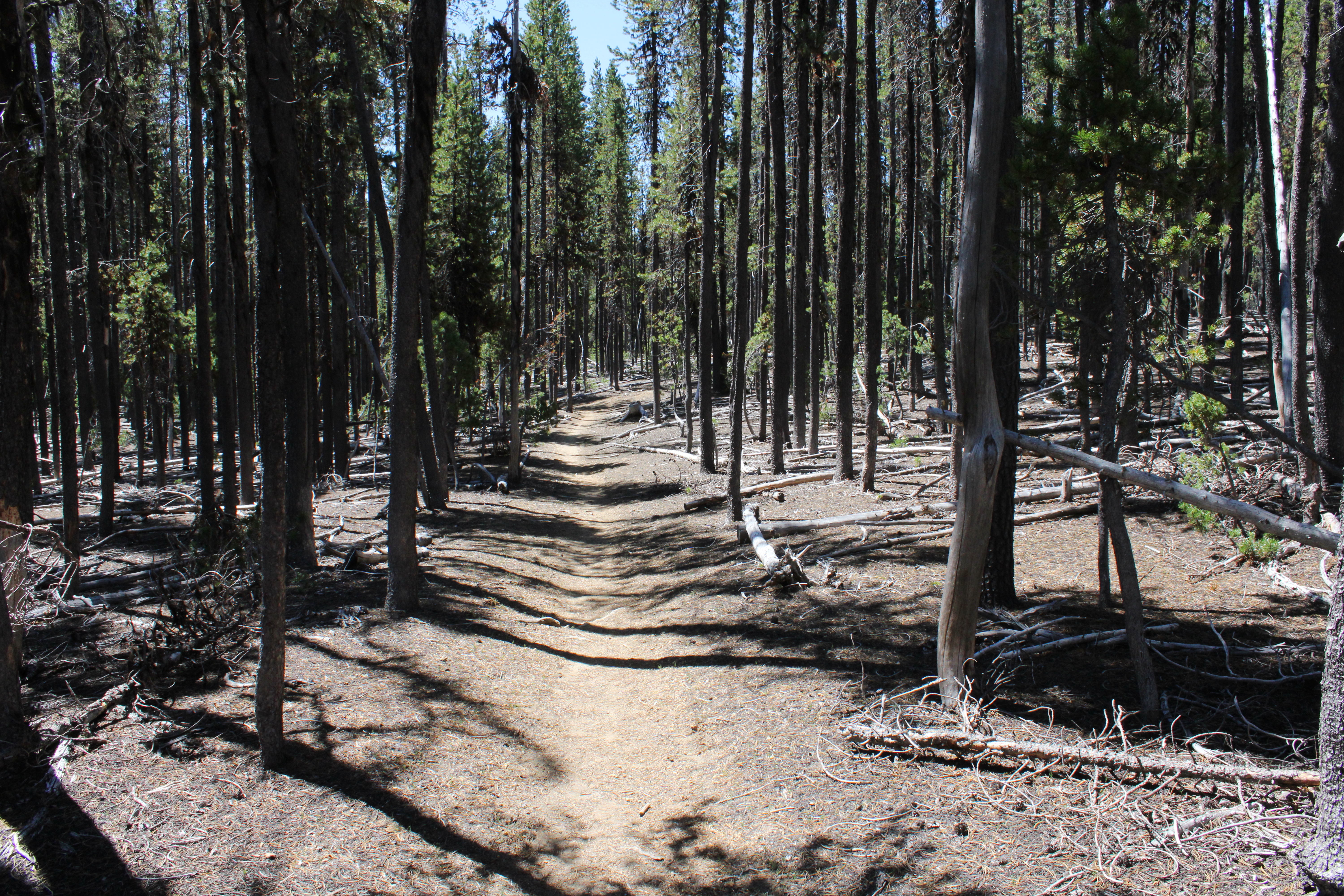 |
| So many trees, so little shade |
But hey, the really cool (sarcasm!) part was that the long descent I had come down on when approaching Oldenberg Lake, was now a long and protracted climb out of the lake's basin that had me feeling the "Old" in "Oldenberg". While I had felt pretty darn walky the day before, on this day I felt more like a jelly bean melting on a hot sidewalk. Let's just say I took a few more rest stops than normal before the trail crested and all that bad uphill stopped. The good news though, was that the amount of mosquitoes trying to eat me decreased in inverse proportion to the rising temperature.
 |
| That ridge had been our route to Cowhorn Mountain the day prior |
The Oldenberg Lake Trail dropped steadily back into the same forested basin that contained Nip and Tuck Lakes. Periodically, I could see distant mountains and peaks like Black Butte and Cappy Mountain. Nearer to the trail, and way above, were the cliffs and crags of the same rocky ridge we had walked on the day before, when hiking to Cowhorn Mountain.
 |
| Brunch, anyone |
Right before arriving at the MWT Trailhead, a startled bird flew up from the base of a tree growing right next to the trail. The bird was not particularly noteworthy but what got my attention is that I had seen the same bird not only on yesterday's hike, but on the prior week's hike as well. Sure enough, a quick search of the area revealed two eggs unceremoniously laying on the ground. I took off my pack, fired up my stove, and enjoyed a tasty omelet of wild eggs. Kidding! What I actually did do was take a quick photograph of the gray speckled eggs with apologies directed to Mama Bird anxiously watching me from a nearby branch.
 |
| Carpenter ant on a hike of its own |
When I finally made it back to the Windigo Pass Trailhead, gone were the thundering hordes of aromatic through-hikers, but there was That One Brunette (her trail name, actually) taking a breather among the cache of water jugs at the trailhead. At this point I was feeling like my trail name could have been Nipped And Tucked but on the plus side, it had been just under a twenty-mile weekend for me.
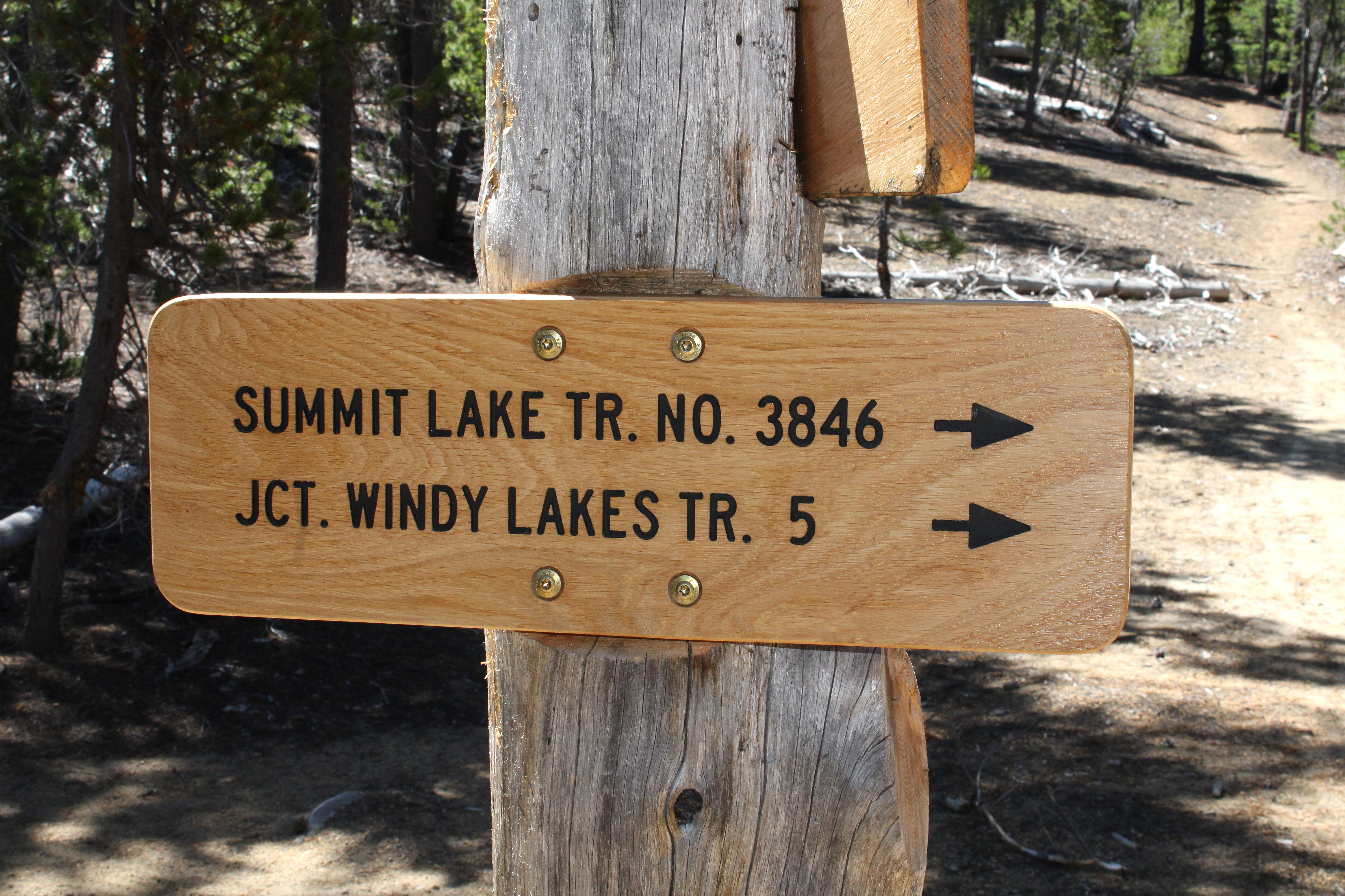 |
| That way for a future hike |
In retrospect, the hike was a bit short for three days. I'm already thinking about returning to do a loop hike in the area that would include Susan, Darlene, and the Windy Lakes with maybe a return via Summit Lake and the Pacific Crest Trail. That would bump up the mileage to a respectable 35 miles or so.
 |
| X marks the spot |
On second thought, scratch that! Shortly after I completed this hike, a lightning-caused wildfire set up camp on Windigo Pass itself. Looking at the maps, the Windigo Fire came pretty close to the trailhead, as the fire burned on either side of Road 60. In response, the Forest Service closed the Pacific Crest trail from Crater Lake to Bend, along with half of the Diamond Peak Wilderness, and half of the Mount Thielsen Wilderness. Meanwhile, the mammoth Cedar Creek Fire has closed all of the Waldo Lake Wilderness. Looks like I'll be pretty much hiking in my living room these days.
 |
| Random skyline snippet along the trail |
For more photos of this hike, please visit the Flickr album.


