Oh, I had such grandiose plans for this hike. By combining loop trails and roads, it was possible to cobble together a 12'ish mile hike through the
William L. Finley National Wildlife Refuge near the small town of Monroe. But alas, "Closed for Winter Breeding" signs confined hikers to a small corner of the refuge and my 12'ish miler became a 6 miler instead. Oh well, I guess I'll have to come back at some future date and hopefully there'll be no spring or summer breeding closures to contend with.
 |
| Booga booga! |
Dollie and I had hiked here many many years ago and my recollection was of large flocks of geese surrounding numerous ponds and swamps. Memory being what it is, that wasn't entirely accurate for the two loop trails I took this time out spent most of their miles inside lush oak and maple forest. There were a few swamps however, with miles and miles of boardwalk to keep feet out of them. I didn't see any geese, they were probably having a goose orgy in the closed section of the refuge. I know I would too, if I were a goose. And stop with the "But Richard, you are a goose!" comments already!
 |
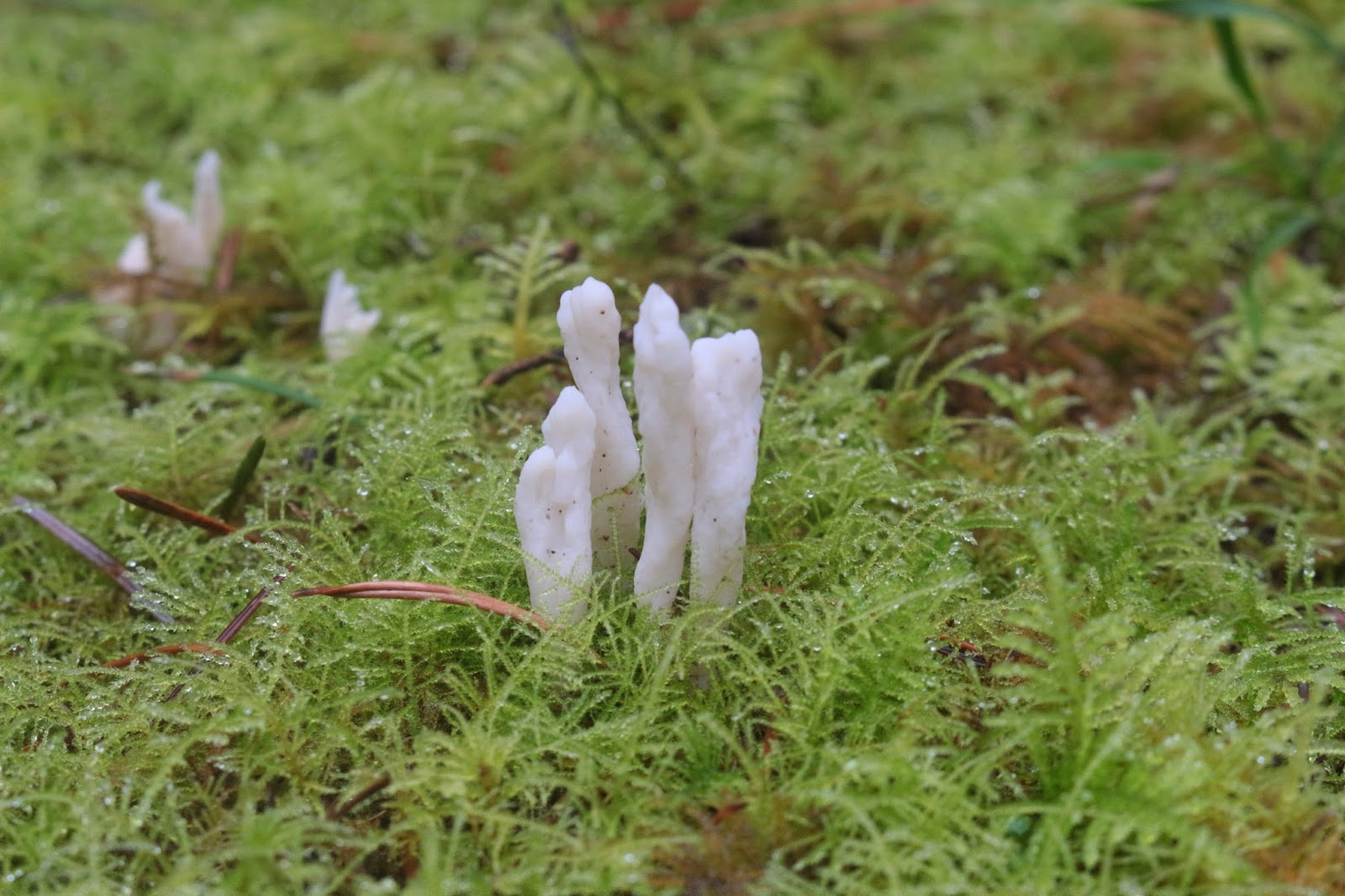
| Staghorn fungus sprouting through the moss |
The drive to the Woodpecker Loop Trailhead was interesting. The weather was not great what with cold temps, gray sky, and falling rain and all that rain collected in a marshy lowland which happened to be the same marshy lowland that Finley Road ran through. It doesn't take much water for my KIA to start swimming and Finley Road was quite the daunting challenge, being underwater with the brown water coming up to the bottom of the doors. I'm glad to say the car made the wade as I really sweated the outcome.
 |
| Some kind of view! |
The
Woodpecker Loop headed gradually uphill through a forest of scraggly and leafless oaks. A dilapidated wooden stand underneath a massive oak provided what would normally be a great view across the Willamette Valley. Clouds, mist, and winter breeding took care of the view on this day however, I'll probably have a greater appreciation for the panorama when I come back.
 |
| You had me at "Hill" |
A short walk through a grassy pasture past some ponds of gray-brown water and a creek or two of the same colored water brought me to the Intertie Trail, a short path that connects the Woodpecker Loop with the Mill Hill Loop. Not knowing too much about the refuge, the "Hill" in Mill Hill appealed to me so off on the Intertie I went.
 |
Boardwalks abounded
|
The forests are surprisingly lush which shouldn't be all that surprising given the amount of standing and running water underneath the trees. And equally unsurprisingly, all the standing water supported a healthy population of blackberry vines, ferns, moss, and assorted fungi. Didn't see any wildlife though, they were probably all having fun in the closed-off other three-fourths of the refuge.
 |
| On the Intertie Trail |
The trail was nicely picturesque as it wended its way through dense oak and maple stands. The path was carpeted with a thick layer of soggy dead leaves in an indication that the autumn display has to be quite colorful here. One more reason and season to come back for another visit!
 |
| Maze of branches |
Disappointingly, the Mill Hill Loop did not go to the top of the hill, instead choosing to perambulate around the base. But the hits kept on coming as each new curve in the trail revealed more forest, dead leaves, and running little creeks. One such creek took over the trail and boots finally got both wet and muddy, always a sign of a good hike.
 |
| A swampy piece of Gray Creek |
Below the trail was a basin full of leafless trees under a gloomy sky. The map said Gray Creek was down there but the creek was well hidden by the thick vegetation. When I finally got to see Gray Creek, it was easy to see how the creek got its name because the water was as gray as a zombie's complexion.
 |
Refuge headquarters
|
For extra mileage, I grabbed a small loop that led to the refuge headquarters, a collection of ranch buildings with a sodden flag hanging limply on a flagpole. By this time the air was quite wet. It wasn't really rain but the atmosphere definitely had a heavy liquidity to it that had me wishing I'd brought the man-gills. Below the headquarters was what was termed the "display pond" although the only thing displayed was brown water.
 |
| Slipping and sliding on a muddy trail |
A return to the Woodpecker Loop finished off this hike. After peeling off wet layers of clothing it was time to make the scary drive out. I again held my breath crossing the swamp over Finley Road but we made it. After the rains subside, it'll be a less risky drive which will be one more reason to come visit the refuge again.
 |
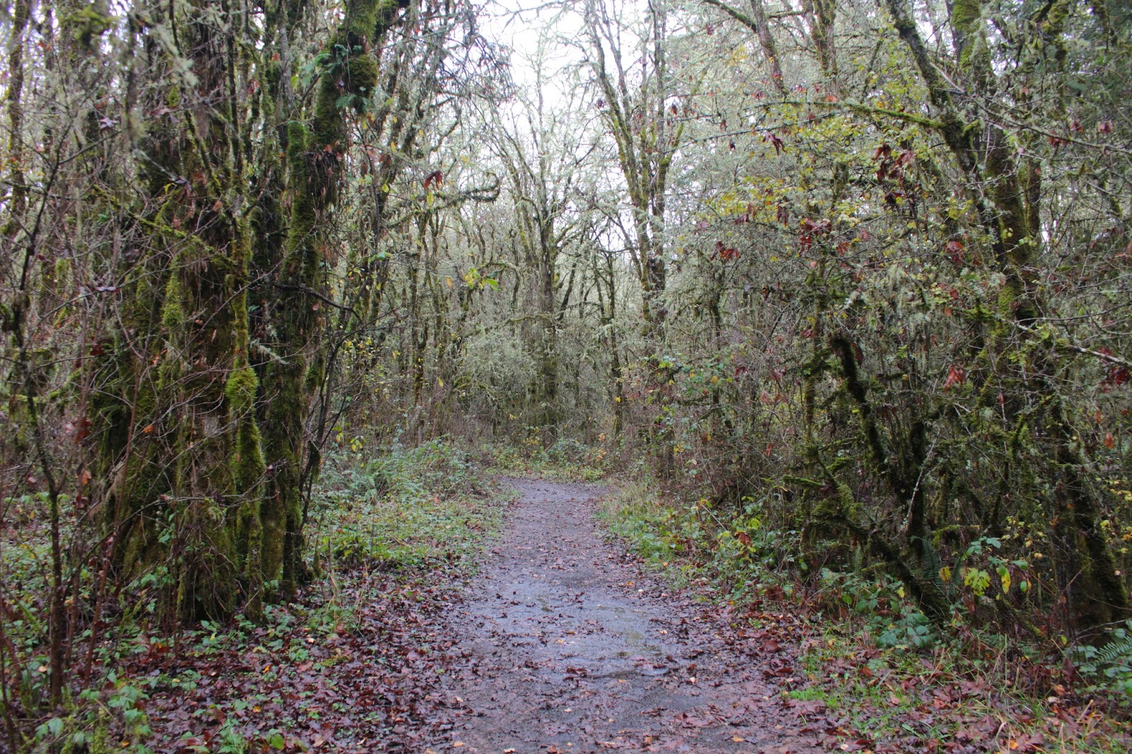
| Mill Hill Trail |


No comments :
Post a Comment