Friday, June 16, 2017

Mildred Kanipe Park

Well, it can't all be hiking, boys and girls, gotta take care of business sometime. And on a Friday morning Luna and I drove around, performing errands, shopping, and doing other non-fun non-hiking activities. But since we only used up the morning and a small part of the afternoon, we both decided to sneak in a short hike in Mildred Kanipe Park on a sultry and overcast day. In an amazing coincidence, in the back of the Jeep were my hiking boots, poles, and daypack...now how did all that stuff get in there?

View to English Settlement
Luna seemed to understand the peacocks at the trailhead were off limits, so as a reward. she got to hike off leash once we were out of sight of the beautiful hooting, but dog-tempting, birds. The park has 7 loop trails that are named, but in between the 7 loops, a spider web of smaller, unnamed trails connect them all. We grabbed one such trail and immediately charged uphill to join up with the Oak Savannah Trail. The Oak Savannah Trail is both appropriately and inappropriately named.

Oaks, both poison and benign varieties
Yes, the trail undulates through grassy savannahs dotted with regal and stately oaks, newly leafed out against a (on this day, at least) gray sky. The trail also undulates through grassy savannahs where the "other oak" grows in overwhelming profusion. I, of course, am referring to poison oak, Satan's favorite plant. There I was in shorts, too, with copious fronds of the progenitor of itchy rashes waving across the trail, caressing my exposed legs with malevolent tenderness. I could almost hear the snarky laughter of the poison oak gods every time a poison oak plant swiped one or both of my legs. However, I am glad to report that somehow, I did avoid getting a rash, apparently I was under the benevolent protection of the Great God of Technu.

Guardian of an oxeye daisy
Spring was in full song and the grassy slopes were abloom with white hyacinth, ookow, self-heal, wild iris, and wild rose, just to namedrop a few. Oxeye daisies grew close together, turning slopes and meadows white. I found some blackberry bushes blooming an uncharacteristic pink color and elegant brodiaea elegantly lived up to its elegant name.


Luna leads the way
As the Oak Savannah Trail descended gently through rolling grassy swales dotted with stately oaks, we grabbed the Fern Forest Trail to add a little more distance to a short hike. The trail dropped quickly through a lush forest carpeted with ferns and poison oak, but mostly poison oak. The path was muddy and treacherously slippery and I daresay I tripoded it a couple of times, silently praying as I headed earthward that I would not land in the poison oak bushes flanking the trail. Luna didn't care, she had no mud-sliding issues, plus she'd gladly romp off trail in the poison oak entirely of her own volition if I'd let her do such a thing.

Pink blackberry blossoms
Once out of the forest and into the meadowy bottom lands we made a side-trip to Bachelor Creek for the sole purpose of affording Luna the opportunity to splash and frolic in the water. While she cavorted, I took lots of pictures of wild roses and pink blackberry blossoms. We each play in our own singular fashion.

Trail through the poison oak jungle
From Bachelor Creek, the loop hike was closed off by hiking on a combination of footpaths and gravel roads through some more of the parklike oak savannahs and poison oak. Poison oak is such an evil and highly adaptable plant. I saw it sprawled on the ground in a thick ivy-like ground cover, in dense upright bushes four feet high, and even vining to the top of an 80 foot tree! There is no stopping that accursed itch-spawning plant!

A peacock performs, ever hopeful of receiving a treat
Back at the parking lot, peacocks came by to mooch handouts, displaying their ample feathery foliage as an enticement. Leashed to the car Luna could only think about chasing them while I took pictures freely. All in all, a nice way to reward ourselves for a job well done running errands.


Ben More Mountain rises above the trail
For more pictures of the hike, please visit the Flickr album.


Sunday, June 11, 2017

Tamolitch Blue Pool

For all the hiking I've done on the McKenzie River Trail, I had never set foot on the section that sported the famed blue pool at Tamolitch Falls. My friend Heidi had gone last winter and all I've heard since is "Have you gone to the Blue Pool yet? Why not? What's wrong with you?" I'm not sure the last question was specifically related to the Blue Pool, either. But since I committed the cardinal sin of not showing up for a Friends of the Umpqua Hiking Club planning meeting, I was involuntarily slated to lead a hike to the famed Blue Pool. Since I had never been, I enlisted my trusty sidekick Lane to join me on a scouting expedition on the McKenzie River Trail.

Vine maples rule!
The weather had been warming up as spring slipped into summer, but on this day the sky was overcast and the temperature was cool, just perfect for hiking. At Carmen Reservoir we were lacing up our boots when a hiking couple popped out of the woods from the north. They asked me how to continue south on the McKenzie Trail and I pointed out the trailhead and told them to turn right at the intersection. They looked at me with confused expressions "Shouldn't we be turning left?" I held up my hands "This the one I write with so that's right, the one left over is left" Somewhat abashed, I corrected my erroneous directions "Yup, I meant the other right!" And I'm to lead the club hike, good luck in following me!

One of many bridge crossings over the dry river
The trail followed the McKenzie River but alas, the river was dry. There are two factors at work in the disappearance of the river: one natural, and one manmade. Eons ago, Belknap Crater buried the McKenzie River under lava flows and volcanic ash. Since the soil here is lava-based and porous, much of the river tended to run underground anyway. But in 1963, Carmen Reservoir was constructed as part of a hydroelectric project on the McKenzie River. The volume of diverted water was sufficient to ensure nearly permanent dryness for the river between Carmen Reservoir and Blue Pool. This year however, the winter rains were so heavy that the river flowed and tumbled over Tamolitch Falls into the Blue Pool for the first time in decades.

Queen's cup
However, on this day, although there were swampy pools in the river channel, the river was dry. But that's OK, because this section of the McKenzie River Trail was all about the forest anyway. Vine maples grew in thick profusion and the trail tunneled through a veritable galaxy of leafy stars. Massive old-growth Douglas firs and cedars disappeared up into the leafy canopy. On either side of the path, the forest floor was carpeted with queen's cup, bunchberry, starflower, and Columbia windflower.

Lane demonstrates the proper bridge-crossing technique
The trail switched sides of the river often, and I have a lot of pictures of rustic log bridges to prove it. The McKenzie River Trail is a popular mountain biking trail and we got to heckle the bikers as they walked their bikes across the bridges, "Real bikers would ride across!" Some bikers don't have a sense of humor, we found out.

The Blue Pool
So far, it had been a pleasant hike through quiet woods but that all changed at the Blue Pool. Here, the McKenzie River emerges from its underground journey from Carmen Reservoir, filling a deep bowl ringed by tall cliffs. The water is a stunning blue color and the only appropriate thing to do is to walk to the edge of the cliff and utter an awestruck "wow!". Unfortunately, the trail from the south is short and hordes of what Lane and I semi-derisively refer to as "casuals" ringed the cliffs. I say unfortunately, because some of the hikers weren't really hikers, being clad in flip-flops, Birkenstocks, and the occasional bikini bottom.  Many had trundled up wagons full of food and drink, while little children played next to the cliff's edge. And they were there by the dozens.

Future Search and Rescue client
It is testament to the splendor of the Blue Pool that it retains its awesomeness and beauty despite being so loved to death. Lane and I spent a leisurely stop admiring the pool's blue color and seeming tranquility. Of course, that tranquility was interrupted when a young man jumped off the cliff and into the pool. He swam to the other side and had to execute a barefoot climb up a steep rocky slope-cum-cliff to return to the trail. Yikes, no small wonder people get killed and injured here (no exaggeration) every year.

We got to spend some quality river time
Anyway, after a lengthy photo shoot and lunch overlooking the pool, we resumed hiking down the McKenzie River Trail. The trail went rocky here as it followed the river on a forested lava flow and we frequently stepped aside for a steady stream of hikers heading up to the Blue Pool. From several cliffy viewpoints, we enjoyed nice views of the McKenzie River cascading at the bottom of the canyon.

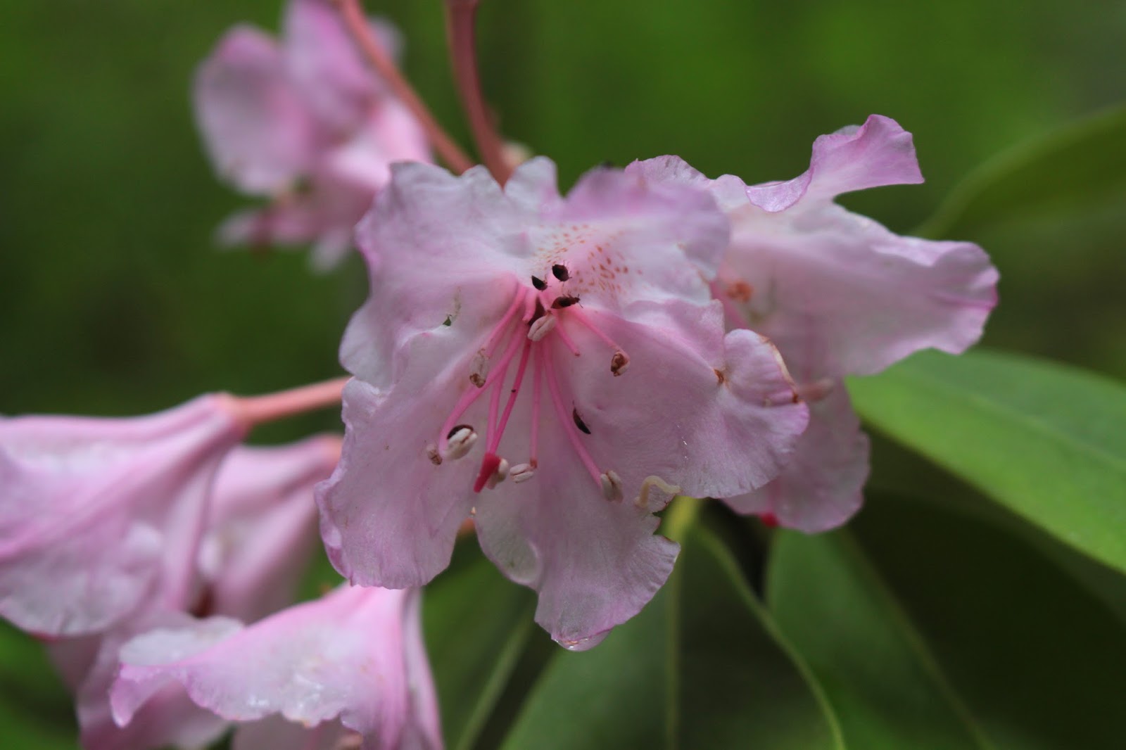
Still some rhododendrons abloom in the forest
Eventually, the trail descended to river level for a close-up view of the river. Across the river, blackened snags from last year's fire dotted a fire-singed slope. When this fire was burning, the trail was closed but people were still hiking to the Blue Pool anyway, so law enforcement resorted to ticketing anybody that parked at the trailhead. You could almost call the citations "Darwin Awards". But on this overcast day, there was little or no danger of forest fire.

Tumbling McKenzie River
So, now Lane and I are both familiar with the trail, so we shall make the proper left turns when I lead the hike in a few weeks. "What could possibly go wrong?" and I should never give voice to that question.

A slightly calmer McKenzie River
For more pictures of this hike, please visit the Flickr album.


Saturday, June 10, 2017

Natural Bridge - Rogue River Gorge

When you hike, you tend to be very focused on weather forecasts; some would say obsessed, even. Weather-appropriate clothing can be the difference between enjoying a hike or not. And, if you hike often enough, you learn to parse the weather report to determine what the weather really is going to be like. For instance, "showers" means rain on, rain off, but usually it's mostly off. "Rain" of course, means always on and never off. In dramatic contrast to the recent run of hot weather, the forecast called for showers with cool temperatures. Since it would be mostly dry weather with occasional rainfall, I thought it'd be mighty grandfatherly of me to take Aiden and Coral Rae hiking on the Upper Rogue River Trail. I wonder if they are still mad at me.

The Rogue River pours into the gorge
The reality was that, as forecast, it was cold, but it was all rain and no showers. And not just mere rain, either: it was constant rain with raindrops as fat and juicy as waterlogged raisins. And my darling grandchildren brought no raingear with them either. So what to do? Why, make them go hiking anyway, of course?


At least Luna looks happy
What kind of grandfather do you think I am, anyway? Like I would really do that! As we drove up the highway, windshield wipers set on "fastest", waiting and hoping in vain for the rain to let up, we decided that unless things changed markedly, we would pretty much scrap the hiking and just make this a car trip. And that's exactly what happened.


The swollen river overwhelms Natural Bridge
At Natural Bridge, the Rogue River funnels into a collapsed lava tube. But there is a stretch of lava tube that still has a roof overhead and the Rogue River disappears into the tube only to reappear about 75 yards further downstream. However, in the middle of a spring flood and torrential downpour the river overwhelms the natural bridge and it looks like just another angry river in a slot canyon. Anyway, the kids, Luna (my dog), and I walked on the short paved section of trail replete with fenced viewpoints overlooking the rampaging river below. Occasionally the clouds lifted and we could see snow in the hills above; we probably were just several hundred feet below where rain became snow.

River fury inside Rogue Gorge
From there, we drove up the highway and stopped at the Rogue Gorge. Here, it's the same sort of geology that occurs at Natural Bridge, the main difference being the collapsed lava tube is narrower and there is no section of the lava tube that is fully intact. The river chafes and seethes at being so constrained and the white water roiling between the rock walls is pretty spectacular. Despite the incredible vista, we didn't stay very long as cold rain trumped scenery.

The leaf understands how we feel
It was a long drive for a couple of car stops but we were all OK with that, with maybe the exception of Luna who is always eager for more. But the day was saved when we stopped at Beckie's Restaurant for jalapeno burgers. Aiden avowed it was the best hamburger in the entire universe so the day was not a total loss.

The Upper Rogue River
For more photos, please visit the Flickr album.


Friday, June 9, 2017

North Umpqua Trail (Swiftwater Park)

Dale wanted to go on a "photo hike", and I'm thinking "But aren't they all photo hikes?" However, Dale had spent the equivalent of the GDP of a small country on: a camera that can shoot HDR photos while simultaneously brewing a mean cup of coffee; a light meter with up to 850,000 lux sensitivity; 7 lens of various focal lengths and magnifications; a remote control clicker with 5.7 miles of range; a set of extension tubes; spectromatric telemacroscopes; 420-stop neutral denisity polarizing filters; 3 camera equipment carry bags; a helper robot; the always handy-to-have flux capacitor, a 10-foot high tripod with a hydraulic lift; and a stool for using the 10-foot high tripod with a hydraulic lift. Too bad he forgot batteries! Anyway, given all the gear he was carrying, I figured a photo hike would be a short hike where we took lots and lots of pictures.

Iris detail
Well, I had that only part right: yes, we did walk just a short 4 miles and I, at least,  took lots of pictures (what else is new?). But Dale only took like around 10 photos (Note: all of Dale's work is available as limited edition Giclée prints!), crafting each one painstakingly and lovingly like Picasso with a Pentax. Plus, it took him 15 minutes each time to assemble, and then another 15 minutes to disassemble the architectural structures (like the tripod) required for him to ply his art. But hey, taking pictures of everything on, above, next to, or under the North Umpqua Trail is not a bad way to spend a morn. 

Pacific ninebark

The weather was sunny but cool down at the bottom of the North Umpqua River's forested canyon. We started at Swiftwater Park and enjoyed a level walk through a lush forest above the river. Lots of pictures were taken by one of us. The photo fun began in earnest at Deadline Falls, where we scrambled down to the river to photograph the noisy cascade. While Dale was erecting his 10-foot tripod to shoot his one picture of the falls, I kept myself busy photographing the spring wildflowers next to the river.

Woodland phlox bloomed on the forest floor
Thimbleberry was the main photo subject but Pacific ninebark, red clover, and birds-foot trefoil also succumbed to my viewfinder while lavender ceanothus perfumed the air. But eventually, I had photographed every flower in the immediate vicinity. "Dale" I said "can we go now?" as I put down the volume of "War and Peace" I had started and finished while Dale was shooting the falls. "Hold on, I haven't taken a picture yet!" I was shocked to hear. What? Seems he was waiting for the perfect light and moment which had not occurred yet during this lunar and solar cycle. 

Ooh!
You know how your young children get restless on a long trip so you toss a toy or bauble over your shoulder into the back seat as you drive, so as to distract them? Well, in similar fashion, Dale tossed me a set of extension tubes and said "Try these on your camera!" Weapons of mass distraction work every time and I screwed on a tube and looked in the viewfinder. Ooh! The extension tube turned my ordinary lens into a powerful macro lens and I then spent the next two hours trying to capture the perfect photo of a snail's nose hair.

Beetle larvae destroy a willow leaf
Actually, some kind of beetle larvae had chewed up the willows and had made webby tent colonies on the ruined leaves. The extension tubes were way cool for taking pictures of the orange and black grubs and I suddenly found myself embracing the whole "photo hike" concept and wondering where I too, could purchase a 10-foot tripod with a helper robot.

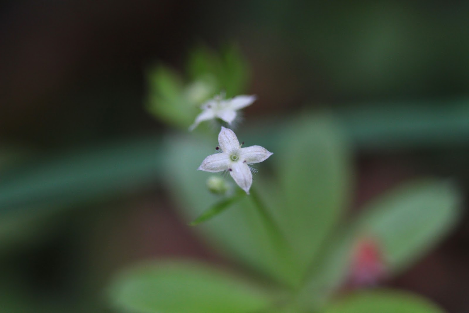
Goose grass
Goose grass is a small bedstraw plant with a flower so tiny, it is barely visible to 60 year old eyes. Ah, but with the extension tubes, it looked as large as a day lily.  Whooh, this macro stuff was fun. Eventually, Dale decided the chi at Deadline Falls was sufficiently balanced to allow for his one photograph, so we resumed hiking, albeit with yours truly taking pictures of all things tiny. I was seeing the world with a whole new set of nearsighted eyes. 

Trail through the Cable Crossing Fire zone


The forest is very lush here along the North Umpqua, but only up to a point. In 2015, the Cable Crossing Fire laid waste to the forest here and we hiked through the graveyard. Dead trees everywhere but life was exploding on the ground. Fireweed, as is its wont, had taken over the open ground beneath the black snags. Spittlebugs had "built" their spit homes on the fireweed stalks and were holding spittlebug keggers somewhere in all the bubbles.

Guardian of the stick


Our turnaround point was little Fern Falls, cluttered with fire debris. A couple of hours later, after Dale had taken his one photograph of the falls, we turned back where I used the extension tubes to photograph candy flower until a crab spider warned me away. As we hiked back, the sun disappeared and dark clouds scudded over. The air had that portentous atmosphere and sure enough, the wind suddenly started howling through the branches overhead.

Let the storm begin!
That was not a good thing either, because we were hiking in a stand of sugar pines. Sugar pines are noted for having one of the larger pine cones around, each cone weighing about as much as all of Dale's camera gear. So when the wind blows, the cones will fall and there is nothing quite like hiking in a windstorm when it is raining sugar pine cones. You literally could hear the hiss as they plummeted earthward: Hsssssss....thwock! As this was going on, the hail started. Then the rain came down in sheets, with thunder and lightning completing a thorough pivot from a Photo Hike to a Richard Hike. Dale quickly stowed all his gear into his portable waterproof storage unit and we hiked a lot more quickly than we had been.

The weather goes from nice to nasty
Funny, with all the rain coming down, Dale took no more pictures, not willing to expose millions of dollars of electronics to the wet elements. Me, my compulsive photography was held in abeyance because I just wanted to get to the trailhead as quick as possible, so as to minimize the possibility of becoming a sugar pine target; which in turn would thereby increase the probability of my living a longer life. In short order, we arrived at a very soggy trailhead and we quickly piled into our respective cars and hightailed it home. Should I tell Dale I "forgot" to give him back his extension tubes? 

Extenstion tubes make the rain look pretty cool
For more pictures of this hike, please visit the Flickr album.

Fern Falls


Friday, June 2, 2017

Hyatt Lake (from Little Hyatt Lake)

Hello, old friend, it's so nice to see you again! The Pacific Crest Trail (heretofore affectionally referred to as the PCT) and I have been somewhat estranged not because we had an argument or anything like that, but because the PCT has been hiding under a heavy blanket of snow. She's been cold and inaccessible, like a beautiful Russian secret agent in either a spy novel or a U.S. presidential election. But summer is coming and we've been getting the sun and heat to prove it. At the lower elevations (presumably) there just has to be little or no snow on the trail, so it was time for the PCT and I to reconcile. 

So good to be back on the PCT!
The hiking club was going to hike on Soda Mountain on Saturday, so on Friday I drove up for an extra hike in the Cascade-Siskiyou National Monument before it gets decommissioned by an orange President who does not hike. I figure'd I'd camp near the Soda Mountain Trailhead and meet the group there the following morn. Turned out, they canceled the trip because of snow and I'm thinking "snow, what snow?" as I baked under a warm sun like a well marinated lamb chop.

Prairie smoke
I started at Little Hyatt Lake, and headed north, simply because I'd never been on this part of the PCT. The trailhead was located in expansive Hyatt Meadows and I quickly got my meadow fix hiking uphill surrounded by several zip codes of green grass. Well, not all of the meadows were green, as large parts of the meadows were colored as pink as my cheeks (on my face!) due to dense patches of sea blush blooming in a green meadow under a deep blue sky. The rarely seen (by me, at least) and unusual prairie smoke flower was visited regularly by buzzing bees while small birds twittered in the nearby shrubbery. 

Happy happy joy joy!


At the start, it was a pretty good pull uphill away from the meadows but on the positive side, that was pretty much it for all the uphill I'd have to hike on this day. At least the slope was covered by shady forest and my heavy breathing was a secret kept between me and the trees. Once on the relatively level bench above Hyatt Lake, the trail popped in and out of forest and meadow. All this greenery under a blue sky and my heart was gladdened.

False advertising
About a mile and a half into the hike, the trail crossed the Hyatt Lake Road and there were a number of road signs directing traffic downhill to the lake. The area was heavily wooded so the lake was unseen, despite being in relatively close proximity to the PCT. There is supposed to be a PCT through-hiker camp nearby but I did not see it, just the signs pointing the way. There was also a prominently marked water stop and since my water was on the lukewarm side, I took the short side-trip to the water stop, consisting of a trough and a spigot. Unfortunately, there was more stop than water as the life-giving liquid was not yet hooked up, so lukewarm water it was.

Balsamroot was common in the meadows

What a yellow-staining collomia looks like
From Hyatt Lake, the PCT does a long contour around and well above the lake. I was hiking nearly at 6,000 feet and the meadows were abloom with the usual suspects: balsamroot, miniature onion, waterleaf, Sitka valerian, and larkspur. Because I was on my hands and knees taking pictures (real photographers don't shoot with the LED screen, boys and girls), I found a tiny flower which I later identified as a yellow-staining collomia. Not sure why it's called that but I came home no more yellower than usual.

The only view I had of Hyatt Lake
Eventually, the forest cover thinned out on a rocky meadow and I finally caught a glimpse of Hyatt Lake below the trail. In the distance was Mount Ashland, its ski runs still covered with snow. Nearer and dearer was Soda Mountain, slightly flecked with maybe one or two specks of snow (hear that, hiking club?) on it. I was at 6,000 feet and surrounded by greenery with no snow. Mount Ashland tops out at around 7,500 feet so the line of demarcation for snow had to have been somewhere around 7,000 feet.

Miniature onion
On the way back, I stepped wrong on the uneven trail tread and slightly wrenched my lower back; I was fairly sore by the time I returned to the trailhead several miles later. The decision was made to return to Roseburg instead of camping near Soda Mountain and that is why I'm not bitter about being stiffed by the hiking club. But if I would have been bitter, it wouldn't have lasted long because that would have meant I would have had my old friend the PCT all to myself for one more day.

Lichen graces a tree trunk
For more pictures of this hike, please visit the Flickr album.