Showing posts with label campground. Show all posts

Friday, October 16, 2020

Rogue Gorge - Upper Rogue River Trail Loop


The genesis of this hike began when younger brother Don prostrated himself at my feet, begging "O wise and wonderful Older Brother, I am but a mere gnat caught in the glittering web of your awesomeness, Please o please, can you take me on one of your hikes and render me worthy as I bask in the golden glow of your presence?" Now, if you run into Don out on the street somewhere and question him as to the veracity of my account, he may vehemently deny that such a conversation ever took place. But, my rejoinder is that my blog is part of the Internet and if it's on the Internet, then it must be true.

Just a beautiful day for a hike!

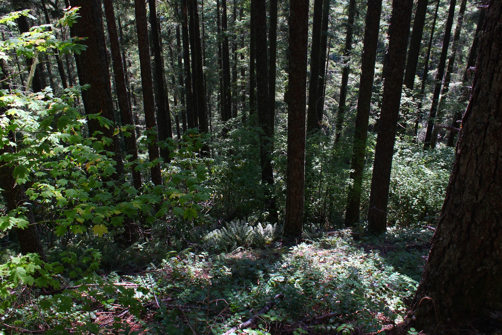
The Cascade Mountain Range in Oregon are a chain of tall peaks covered with countless acres of tall conifers. Being evergreens, the conifers tend to ignore that autumn foo-foo stuff of bright colors and all that nonsense. What's wrong with being tall and dark green, anyway? Nothing, but autumn can be so much fun when leaves of trees so inclined celebrate winter's impending arrival with a burst of leafy color. So what's a hiker to do in order to enjoy the autumn plumage? Why, you must go where the vine maples grow, and that's how younger brother Don and I found ourselves on the Rogue Gorge Trail once the proper amount of groveling had taken place.

The Rogue River churns in its namesake gorge

Don had never been to the Upper Rogue River so I was able to hike vicariously, seeing the hike anew through his eyes. Our hike began at the Rogue Gorge which is a geologic marvel in its own right. Here, the Rogue River flows through an ancient lava tube whose roof had collapsed millenia ago. The river is all white water as it angrily seethes at the bottom of the narrow gorge and the view thereof was a great way to begin the day's venture.

The river reflects

After gawking at the gorge, we set foot on the Rogue Gorge Trail which follows the river to touristy Natural Bridge. It didn't take long for this to become the quintessential autumn hike. The riverbanks were bathed in warm sunlight and the vine maples were in bright orange, red, and yellow form. Dogwood likewise went colorful but tended more toward a pinkish hue. The river was tranquil and serene here and the surrounding colorful foliage and trees painted watercolor reflections on the river's surface.

Colorful leaves were one of the stories of this hike

The next few miles were mostly a level walk underneath either a deep blue sky or vine maple leaves illuminated by the bright sun like so many millions of colored lights. Don also had a camera so he wasn't any more annoyed than usual with his wiser and more handsome big brother when much mutual photography ensued. 

Much photography ensued

The basic calm tenor of the river changed when the river used the readily available slot of yet another collapsed lave tube to funnel into, raging and frothing with angry white water as it did so. A picturesque footbridge crosses the river here and the bridge makes a convenient place to stop and take photographs of the scenic river constrained by unyielding black and gray lava.

The river divides around a large boulder

More geological and/or riverine delights awaited us at Natural Bridge after another mile and a half of riverside walking. Natural Bridge is where a lava tube did not collapse and the Rogue River enters the tube and disappears completely from sight like a child playing hide-and-seek, only to emerge about 75 yards downstream, ready to resume its long above-ground journey to the Pacific Ocean. Don was suitably impressed, gushing "Gee whillikers Totally Awesome Big Brother, this is amazing!" while I, as a jaded and faded Upper Rogue River veteran, stifled a yawn and replied. "What, that old thing?"

Just follow the Yellow Leaf Road!

Actually, the bridge part of Natural Bridge was the least visually interesting thing at this popular tourist spot. More fun was the river thundering in its narrow defile in a series of thundering cascades and roaring falls. Much photography (times two) ensued. And from there, we decided to return via the Upper Rogue River Trail for variety's sake.

Vine maple, putting on its usual autumn show

The Upper Rogue River Trail was initially a pleasantly level stroll along a fairly well-behaved river among some old-growth tree giants. Don stopped to gawk at a couple of them in suitably awestruck fashion. Nowhere near as tall, vine maples thrived in happy profusion and because they were on the mostly sunny side of the river, their leaves were as flamboyantly colorful as a Carnaval parade float in Río. 

Kindred spirit in Don, at least when it comes to photography

The return on the opposite side of the river did provide the only uphill stretch of this hike and my legs complained while Don and his much younger legs had no trouble at all. Continually beseeching him to wait for me, I may have even groveled a bit myself on the uphill slog. Once we crossed back over the river, the remainder of the walk was pleasantly level next to a soothingly calm and placid river as we hiked in easy brotherly companionship, if only for the reason Don had not yet read what I said about him in my blog. 

Watercolor painting

For more photos of this hike, please visit the Flickr album.

Sunday, November 25, 2012

Tahkenitch Dunes and Butterfly Lake

Tahkenitch Dunes is one of my favorite places on the coast for hiking.  However, once the dunes loop had been hiked several hundred times or so, I began a desperate search for a way to change up the routes to prevent Tahkenitch boredom. Let's see, there was the hike via the Threemile Lake Trail, there was the long and rainy 14.5 mile loop from the Oregon Dunes Overlook, there were the clockwise and counterclockwise renditions, and there was a memorable weekend backpack trip right before last Christmas. So, when I looked at the map and saw Butterfly Lake, my antennae were tickled and a plan for a new route started flitting around in my brain.

Slimy mushroom
Maggie The Hiking Dog and I started at Tahkenitch Campground on a chilly but sunny morn. The morning sun filtered through the trees and fog, the sunbeams lighting up sprays of rhododendron leaves. Mushrooms sprouted everywhere through the moss on the forest carpet while ferns drooped over the trail.


Threemile Lake
Taking the loop in a clockwise direction, it was a fast descent over several miles before crossing a footbridge on Threemile Lake's outlet. A short walk up a sandy trail brought us to an overlook of impressive Threemile Lake. The lake was full and was one single lake as opposed to two separate lakes as is the norm when the water level drops in the summer.


Dune slog
All of this, so far,  had been familiar territory as the trail left the lake overlook and crossed the dunes, heading towards the beach. However, a right turn before reaching the beach was the start of something new: the hunt for Butterfly Lake.


Mindless fun in a marsh
Initially, the hunt followed the trail through the dunes, the trail being a series of tall posts hammered into the sands. I was taking a picture of a picturesque marsh in the dunes when a cavorting and frolicking dog jumped into the viewfinder, whooping with joy as she splashed through the water. Oh, to be a dog in the dunes!


Trees that want to eat me


At a tree island (a mound of trees in the middle of the dunes) we veered right, climbing steeply up a sandy track that eventually petered out altogether. When I had researched how to find the lake, the satellite photos showed the sandy track leading to a forested dune above the lake. The reality on the ground was that a newborn forest had taken over the dunes.  I was having to beat my way through branches that scratched and clawed at my face. The dog portion of my hiking party, however, had no problem running on game trails through the trees.


A not so very good picture of Butterfly Lake

The route worsened on the steep descent through an increasingly hostile forest to the lake; a sudden break in the trees allowed me to lay eyes on the black waters of Butterfly Lake. Much to my dismay, dense brush filled the 70 yards or so between me and the lake. Hanging onto a tree, I quickly snapped a picture of the lake, called it good, and then began the arduous task of returning to the dunes through trees intent on removing my facial skin.

0
 The "trail"

Getting back to the dunes was also tricky but suddenly I burst out of the forest and rolled down onto a steep dune. On the far side of the dune, I espied a blue banded pole which was my trail marker. A short ways beyond, a bona fide trail left the dunes and entered the forest just behind the beach foredunes.
Follow the bouncing dog!
So, while the Butterfly Lake expedition had been a whole lot of work, the fact remained we had not covered a lot of miles. There was no glory at heading back to the car at this point, so we made a left turn at a trail junction and headed to the beach where Tahkenitch Creek meets and greets the Pacific Ocean.

Brush-clogged Tahkenitch Creek
Right next to Tahekenitch Creek, I noticed a large black bird squatting stoop-shouldered  like an aged monk: it was a bald eagle! I descended to the beach and tried to get as close as I could without spooking it. Maggie, on the other hand, saw the creek and she ran up and down splashing in the water with mindless canine exuberance, totally unaware of the potential peril of becoming eagle food. And so much for not spooking the eagle!

And what's wrong with being bald, eagle?
Tahkenitch Creek was swollen with winter runoff and was more of a river than a creek. The eagle was on the other side of the creek and was not at all concerned about our crossing the formidable stream. After several minutes, the eagle gave a dismissive flap of  its mighty wings and soared out of sight while the gulls on the beach scattered in screeching panic. It's not every hike I get to see one of these majestic birds, how cool was that?

Tahkenitch Dunes in the afternoon
As the sun sank, we walked up the Tahkenitch Creek Trail for a mile and back, there was not much to see as it just ambled through pleasant woods. On the plus side, I think I just found another future route to keep Tahkenitch dunes interesting.

For more pictures of this hike, please visit the Flickr album.


Saturday, September 15, 2012

Rooster Rock

Years ago (and, sigh, how often I say that nowadays) I hiked to the top of Iron Mountain and looked west into the odd towers, turrets, pinnacles and other rock creatures of The Menagerie Wilderness and filed the area away for a future exploratory hike. Well, in mid-September, the future became now when I paid a visit to Rooster Rock.

Sunlight and leaves were one
of the stories on this hike
Basically, there are two trails in The Menagerie: Trout Creek and Rooster Rock. Both are steep but the Rooster Rock Trail can crow as the winner of the steep-off contest between the two trails. Everything else in the wilderness requires cross country bushwhacking. It is possible to connect the two trails as a loop hike but the loop requires a 2 mile walk along busy Highway 20. Not wanting to share our hike with the car crowd, Maggie the Hiking Dog and I opted for the 7-mile round trip out-and-back on the Trout Creek Trail.

A virtual poem
First of all, apart from a brief view at the trailhead, the misnamed Trout Creek Trail never provides another view of the creek, contouring instead on a forested ridge with the creek hidden from both sight and earshot well on the other side of the formidable ridge. The trail could have been more appropriately named by calling it the Really Steep Trail or the Spider Trail.


Gah!


Spiders were a large part of my Rooster Rock experience. September apparently is the month where the spiders succumb to their biological impulse to snare hikers before the winter snows arrive. Invariably, the webs were strung across the trail at face height. And of course, the fine strands of sticky web were virtually invisible so the only warning was an all too brief cross-eyed glimpse of the spider just before it landed on my nose. I had many opportunities to do the spider dance which consisted of spastic hand-waving and dancing punctuated by panicked shouts of "Gah!"

I can see the top of the ridge!
The trail was beautifully shaded with big leaf and vine maples growing among tall fir trees. There was ample opportunity to admire the leaves filtering the sunlight while bent over gasping for breath. You see, the trail gains 2,300 feet at the challenging rate of nearly 700 feet per mile which works out to be a 12% grade, something cars don't even like to do. All the uphill didn't seem to bother Maggie and she waited patiently at all the frequent master-induced rest stops.

Rooster Rock
Shortly after the intersection with the even steeper Rooster Rock Trail, sky could be seen above the ridge crest which gave me hope the trail was topping out. The topping out did occur shortly after passing Rooster Rock. The rocky tower is probably a thrilling sight to the climbing crowd but was hard to see otherwise what with a forest growing around the base of the rock. Despite being on the edge of The Menagerie, it was difficult and nigh impossible to make out the interesting rock features that define this wilderness area.

Our lunchtime view
Not to worry, though, because a short uphill push on an ever increasingly rocky trail brought us to lunch and rest on a rocky viewpoint. Not quite a 360 degree panorama, trees kept us focused on the east where we looked up the South Santiam River valley to Iron Mountain and Cone Peak; in the hazy distance were North and Middle Sisters. To the north of North Sister a massive plume of smoke demonstrated that the Pole Creek Fire was still misbehaving.

Gah!


After about 15 minutes or so, another hiker arrived at the viewpoint and we exchanged pleasantries. He complained about all the spider webs across the trail which was surprising because there shouldn't have been any left after I knocked them all down on the way up. He was kind enough to take a picture of me doing my pose (I think I freaked him out when I did that) before he left and after a 15 minute wait, I also headed back down the trail. Surprisingly, there were lots of spider webs back across the trail with more hand waving and face slapping.  Industrious little buggers!

Nothing quite like the sensation of a spider crawling on your face

Forest, on the way down
It was a pleasant descent through forest as the shadows lengthened despite the occasional eight-legged arachnid creep-out. Next time I come here, I'll bring a racquetball racquet to keep the spiders off of my incredibly handsome face.

For more pictures of this hike, see the Rooster Rock album in Flickr.