Showing posts with label McKenzie Pass. Show all posts

Friday, August 19, 2016

Four-In-One Cone

Regular readers of my blog (if I have any regular readers, maybe I'm being presumptuous) will note a recent preoccupation with the month long run of hot weather. And why should this blog entry be any different? It was 110 degrees in Roseburg and I thought about running away to the coast but the coast was an uncharacteristic 90 degrees itself. Wherever can one go to escape the heat? Well, the Three Sisters Wilderness was running about 25 degrees cooler than western Oregon and by golly, that was an excellent reason to pay the McKenzie Pass area a visit. Especially since I placed the weather cursor right on Four-In-One Cone and got a forecasted high of 75 degrees!

Small meadows flanked the Scott Trail
From the Scott Trail trailhead, the path crossed Hwy 242 and then ducked into a lodgepole forest on a dusty trail. McKenzie Pass sits in the middle of like a million volcanoes and lesser cones so the fact the trail was comprised of dusty pumice is not surprising. The trail was flat and passed past several open meadows hovering in that weird color between green and brown. Enjoy the flatness while you can, Richard, because after a half-mile, the trail turned to the left and let the climbing begin! 

Ah, blessed be the shade!
The trail would gain about 1,500 feet over 5'ish miles so while steep in places, the grade was not all that daunting, just steady and non-stop. But at least it was in a shady forest which was welcome because it would have been a lot warmer without the shade. I don't have any empirical data but based my skin-o-meter, I'd guess it was about 85 degrees or so.

Huckleberries!


The forest was pleasantly lush with a leafy undergrowth comprised of huckleberry bushes. Huckleberries? Did somebody say huckleberries? The bushes were laden with plump black berries and all hiking came to a screeching halt while I grazed, purple juice running down my chin. Eventually, after I consumed enough berries to ensure purple poop for at least a week, hiking resumed as I mastered scooping the berries on a walk-by without breaking stride (too much). 


Blueberries! This was a berry yummy hike
This late in summer, all the wet spots were dried up but the path did pass through some low-growing ankle-high blueberry bogs. Blueberries? Did somebody say blueberries? Hiking again came to a sudden and fruity stop while I grazed on my hands and knees like an ungainly, yet incredibly handsome elk. Blueberries AND huckleberries? This hike was a whole other fruit salad of berry awesome.

Abrupt end to the forest
As the trail climbed, it sadly left all the berries behind and entered a decidedly drier and less lush forest before a 20-foot high wall of rock put an abrupt end to all that forest stuff. The extensive lava flows in the McKenzie Pass area are byproducts of numerous small and relatively insignificant cinder cones. The rock wall the trail was running into was from both Collier and Four-In-One Cone(s). And unerringly, the trail found a small seam between the two flows as it crossed over to the east side of the Collier flow. Good thing the seam was there, because the flow would have been nigh impassable without some serious engineering and dynamite.

Hello, North Sister!
The trail would, for the next mile or so, hug the east edge of the flow, meaning there was a 20 foot wall of jumbled and jagged rock on my right hand side. Straight ahead and above the flow, both North and Middle Sister showed their pointy heads with Collier Glacier perched precariously between them.


Black Crater rises above the cinder
plain below Four-In-One Cone
The trees on the left side of the trail gradually thinned out until I found myself walking in a barren cinder plain, with a sun-bleached trail sign as its only feature. On the left hand side of the plain was the indistinctly shaped pile of volcanic cinders that is Four-In-One-Cone. The cone got its name because it sports four distinct vents and a corresponding lava flow for each vent.  With the chaos ensuing from having four vents, Four-In-One never had a chance to form a nice symmetrical cone; it's more like an elongated amorphous blob.

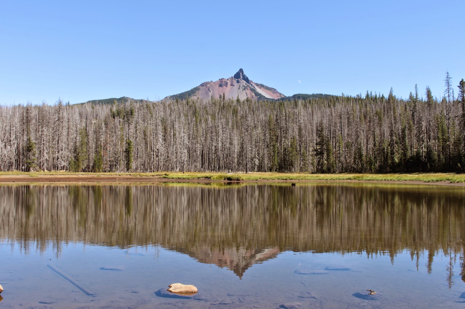
North and Middle Sister from the cone's rim
My boots crunched in the cinders as I walked up the slope of the cone, and a stupendous view greeted me as the rim was attained. North Sister was the closest and biggest peak while Middle Sister demurely stood at her sister's side. To the south was the tan cone of Belknap Crater, followed by Mount Washington, Three-Fingered Jack, and a ghostly Mount Jefferson (the view was somewhat limited by smoky haze from several small wildfires burning nearby). Below the mountains were rivers of black rock cutting large swaths through the forests. The rivers of black rock were old lava flows, courtesy of small cinder cones such as Collier Cone, Yapoah Crater, Little Belknap Crater, and Four-In-One Cone.

Hazy view to the north
Such a view requires a lengthy contemplation but I didn't stay all that long, I still had 5 miles back to the car and besides which, there were still some berries needing my attention.


Sickletop lousewort, also known as parrot's beak
For more pictures of this hike, please visit the Flickr album.


Sunday, September 27, 2015

Black Crater


Here it is, late November, and it's quite obvious to anybody living in Oregon that winter has come. Of course, a couple of months ago it was not so obvious and yes, I really am a couple of months behind in my blog postings. At any rate, Anjuli, Daweson, Issiah, Coral Rae, and I enjoyed a beautiful sunny day on a hike to Little Belknap Crater in late September. And while sunny, the air did have a little nip to it and we wore jackets and sweaters as we enjoyed the view from the top of the small crater. Flash forward another week and the weather gods were not as kind.

Little Belknap Crater
Little Belknap Crater is surrounded by taller peaks and cones, one of which is prominent Black Crater. Since I'd never been, it was about time for a Black Crater visit. The weather forecast called for partial sun but it was mostly clouds when I arrived at the Black Crater trailhead. In fact, it was all clouds. mist, and fog...no sun at all, darn it. It was frigid c-c-cold too and I quickly donned a few extra layers as teeth chattered in my skull. I daresay it was cold enough to snow but fortunately, there was no precipitation while I was there.

Entering the wilderness


The trail wasted no time charging uphill and that was the pattern for the first mile or so. The forest was fairly homogenous with identical looking trees draped with old man's beard swaying in a soft breeze. It was like hiking through the ZZ Top Tabernacle Choir. There were a couple of open spots offering views of the McKenzie Pass lava flows. Sparse meadows, all gone brown in advance of winter's arrival, flanked the path. I should have been able to get a magnificent look at Mount Washington but there was a large cloud bank where the mountain should have been.

The Black Crater summit is up there somewhere
The trail started out on the north side of Black Crater and would eventually wind its way over to the east side. Fortunately, the grade eased up a bit after the first mile and there actually was a downhill stretch of trail. The crater summit was hidden by the cloud bank camped on the rim but it was a fast moving cloud bank. Obviously, it was windy at the top but the cone was blocking the wind and call me grateful.

Awesome panorama toward Sisters
The route began switchbacking as the forest thinned out, transitioning from tall trees to gnarled and stunted whitebark pines. Despite the cloud cover, there were still some fantastic views to be had. It was kind of like peering under a table because of the cloud cover, but it was an awesome panorama to the towns of Sisters and Redmond with the crags of Smith Rock being faintly visible in the misty distance. Black Butte was mottled with cloud shadows dancing on the perfectly symmetrical cone. It sort of cheesed me off to see sunny patches everywhere else than where I was standing at.

"Crunch, crunch, crunch" go the boots on pumice
By this time, I was hiking in a world of red and brown pumice with stunted windblown trees for company. Because of the mist and clouds, all was quiet and still except for the crunching of pumice underneath my boots. One last switchback delivered me to the crater rim and I quickly took off my pack and retrieved a stocking cap, mittens, and another fleece jacket. Dang, it was cold! The wind was moving the clouds quickly along, biting through multiple layers of clothing.

Awesome view (not!)from the crater rim
The trail wove its way along the rim and I was slightly amused to see a couple arrive on the rim, about 100 yards behind me. Mimicking perfectly my movements from a few minutes prior, they dug through their packs and frantically donned extra layers, mittens, and stocking caps. 

The actual summit of Black Crater
A rocky crag, barely visible in the fog, was the actual summit of Black Crater and I scrambled up to the top just to say I reached the summit. There were no views at all and it was cold, so I didn't tarry and made my way down in haste. 

The lava flows at McKenzie Pass
On the way down, the trail dropped below the cloud cover and I enjoyed the same partial views that I enjoyed on the way up. On a clear day, this has just got to be a truly spectacular hike. The clouds thinned out some and several times on the descent, my shadow made brief appearances. I ran into a couple backpacking up, the dude was taking his wife on her first backpack trip. Hope their marriage survives!

Black Butte
For more pictures of this hike, please visit the Flickr album.

Sunday, September 20, 2015

Little Belknap Crater

"Take me to Mordor!" So said daughter Anjuli as we were discussing hiking destinations. Apparently, she had been browsing hikes on the Internet and had found some pictures of "Mordor" and wanted me to take her hiking in the stark black rock moonscape. To explain what she meant, she showed me the photos she had come across and I just had to laugh: The pictures were mine, taken on a prior trip to Little Belknap Crater!

Little Belknap Crater just got a little taller
McKenzie Pass is situated between the massive volcanoes of the Three Sisters and much older Mount Washington. All the magma burbling miles below our feet has spawned an underground industry of all kinds of cinder cones, pun intended. It is somewhat ironic that it is not the giant volcanoes of the Three Sisters but instead the seemingly insignificant little cones that have produced the massive rivers of hardened lava in the McKenzie Pass area. The lava flows are basically nature's asphalt blacktop and just like the Walmart parking lot, not much grows through the pavement. Just miles and miles of black jagged rock that explains Anjuli's Mordor reference. That, and she's my daughter, too.

My people
Little Belknap Crater is just a little red pimple in the lava fields, dwarfed by nearby (big) Belknap Crater. The hike to the crater on the Pacific Crest Trail is fairly easy and eminently spectacular, the short 5 mile round trip is perfect for children: so grandchildren Daweson, Issiah, and Coral Rae came along with Anjuli, with me being the biggest kid of all!

Suitably awestruck by Black Crater
Leaving McKenzie Pass behind, the Pacific Crest Trail headed up through two tree islands, created when hot lava surrounded a couple of high points, forever isolating the forest on the high points. Once we left the forest, we were treated to an awesome view consisting of the PCT winding up through miles of rock towards Belknap Crater, colored the same tan hue as the cat vomit on the living room carpet that I pretend not to see so Dollie will have to clean it up. In unison, the kids uttered an awestruck "wow!" and I silently patted myself on the back in self-aggrandizing satisfaction.

Heading towards Belknap Crater
It was somewhat of an uphill slog so it wasn't like the kids scampered carefree up the trail, progress was slow and steady through the incredibly rough lava field. We got to see lava in many forms such as the boot-eating jagged rock created when foamy lava hardened before it could melt down like bubble bath foam in a drained bathtub. Thick rolls and braids, resembling the belly folds of a sumo wrestler, were where currents of thick viscous magma once flowed. Lava tubes were a common sight and the kids were tempted to go exploring the tubes like the little geomonkeys they are.

Little Belknap Crater
After a couple of miles of this and right below Belknap Crater, a trail sign marked the intersection with the Little Belknap Trail, the white wood of the sign visually at odds with all the black rock. Seen from McKenzie Pass, Little Belknap Crater had been barely distinguishable in the lava flows but up close, it didn't look so little any more and it was mostly red colored too. The kids clambered nimbly up the slippery slope, stopping to explore a couple of large lava tubes. They were thrilled to enter one and appear about 30 yards downstream, their heads popping up out of the rock like unsuspecting moles in a Whack-a-Mole game.

View of Little Belknap Crater's lava flow
Little Belknap, as previously mentioned, is a small and insignificant pimple surrounded by large and majestic volcanoes and cinder cones. However, the views are anything but small and insignificant, situated as it was in the middle of all the geologic action. Snow capped North and Middle Sister, the two massive volcanoes dominating the view to the south. To the north was pointy Mount Washington, the peak being the inspiration for Anjuli's earlier Mordor reference. Beyond Mount Washington was the tip of Three Fingered Jack with snowy Mount Jefferson just beyond Jack and his three fingers. And all around were rivers of black rock, permanently frozen in time. Just an awesome panorama and kids, both young and old, enjoyed the view.

North and Middle Sister, on the way back
After a lazy lunch, we headed back the way we came, down through the miles of black and jagged rock. The only difference was that we were gawking at the two Sisters the whole way down, instead of gawking up at Belknap Crater like we did on the incoming leg. I'm glad to report a good time was had by all and no orcs were harmed on our hike to Mordor.

Mordor (actually, it's Mount Washington)
For more pictures of this hike, please visit the Flickr album.

Always have time for a selfie!


Monday, September 1, 2014

Patjen Lakes

In 2011 the small Shadow Lake Fire started southeast of Mount Washington and little or no resources were devoted to the small fire until it swept over the Pacific Crest Trail (hereafter referred to as the PCT) and burned all the way to popular Big Lake. It was OK to burn the PCT because that only affects hikers and "Who cares about them?" (Says I, with just a hint of bitterness). However, when the fire threatened the large youth camp near Big Lake, considerable resources were quickly marshaled towards a more serious firefighting effort and the developed eastern shore of Big Lake was saved.

Degenerative tree disease
Because of several other fires in the Mount Washington Wilderness over the years, the wilderness today consists of pointy Mount Washington and acres of scorched earth and dead trees. There is probably not a single live tree in the whole wilderness. However, life bursts at the scorched seams despite all the death and destruction. Personally, I find that a burn zone has a special beauty all its own and I am not averse to hiking in one.

Waving plumes of dry beargrass
All this ashy rumination about forest fires came about because of a recent hike on the PCT in the Mount Washington Wilderness. There was ample opportunity to ponder the aesthetics of burnt forest near the Hoodoo Mountain ski resort on a hike in the Shadow Lake Fire zone. The hike would head south towards Mexico, although I would wind up just several thousand miles short of the southern terminus of the PCT. It was a game try, though.

Fireweed loves a good burn zone, too
As previously stated, life abounded. Fireweed, aster, common yarrow, and goldenrod were still blooming here and there along the trail. Because of the tree-killing fire, sun-loving bracken fern had laid claim to large patches of open forest floor. Bracket fungus, affectionately known as "conks", were slowly eating away at the dead and decaying trees. Sulphur butterflies congregated on the occasional damp spot on trail, sharing gossip as they licked wet soil. The trail was lined with dried plumes of beargrass flowers, long since gone to seed. Woodpeckers were everywhere making their woodpecker music and judging from the quantity of their tapping, the dead forest obviously is full of happy peckers. And more importantly, young trees were sprouting everywhere, fully engaged in the process of replenishing the burned forest.


Cause and effect
The original plan was to hike up the PCT and get as close to Mount Washington as possible via trail. However, an intersecting trail with a "Big Lake" sign called out to my inner hiking attention deficit and I wound up taking the right turn to see what the Big Lake shiny object was all about.


Well-used trail to Big Lake
The youth camp at Big Lake is an important resupply stop for PCT hikers making the 2,500 or so mile trek from Mexico to Canada. Signs with detailed instructions for hikers about picking up supplies and where to camp and when to shower greeted me at the camp trailhead. Apparently, they are glad to help the through-hikers as long as they are not seen, heard, or smelled.


Why we hike
A short walk through the camp brought me to the shore of Big Lake and there was a stupendous view to Hoodoo Mountain, Hayrick Butte, and Three Fingered Jack, all rising dramatically across the blue waters of the lake. The trail map showed a trail contouring around the lake to the intersection with the Patjen Lakes Trail but the burn interjected its ugly sooty head into things when the trail petered out  in a tangle of fallen trees and thorny brambles along the lake.

This plant has the gall
Not being familiar with the layout around this part of the Cascades, I backtracked and hiked back up to an unmarked intersection just short of the PCT. Several more unsigned and unmapped trail intersections left me more confused than usual, but a series of left turns kept me heading in the right direction as Big Lake was eventually left behind.

It burns us!
After rising gradually for a mile or so, the trail crested a ridge covered in dead trees and headed gently downhill. Mount Washington was actually fairly close but it was hard to get a good look at the pointy peak due to the millions of ghostly trees in the way. There were several patches of dead saplings bent over where they died, you could practically hear the trees scream as they writhed in indescribable agony.


Oh deer!
The ambiance improved considerably at the first of the Patjen Lakes. The lake was surrounded by a grassy meadow and Mount Washington reflected nicely in the lake's waters. A deer grazed in the meadow but it was keeping way too still and was making no attempt to steal my hiking poles. It was a decoy and I waded through the grass, clouds of grasshoppers flitting just ahead of me, for a closer look and photograph of the decoy.

Patjen Lake, without the laughing hyena sound
Returning back to the trail, a short walk brought me to the second lake where it was time for lunch. Across the lake was a woman who loudly laughed like a hyena at EVERYTHING her male friend said. Seeking a more peaceful outdoor experience, the first lake was revisited for a less noisy laze.


Eminently beautiful
There is a third Patjen Lake but the guidebook made it seem like it was more wet spot than lake so I called two out of three and headed back to the trailhead. It was a pleasant walk listening to the staccato tap-tap-tap of hammering woodpeckers and the soft sighing of the breeze sifting through dead branches as shadows lengthened in the afternoon. Despite all the fire carnage, the hike had been eminently beautiful.


The first Patjen Lake
For more pictures of this fire-addled hike, please visit the Flickr album, and don't play with matches and "Oh, the irony of that statement" says my mother.


Create Maps or search from 80 million at MapMyHike